[Right of Way Map, Belton Branch of the M.K.&T. RR.]
Z-2-56
-
Map/Doc
64228
-
Collection
General Map Collection
-
Object Dates
1896 (Creation Date)
-
Counties
Bell
-
Subjects
Railroads
-
Height x Width
22.1 x 7.3 inches
56.1 x 18.5 cm
-
Medium
blueprint/diazo
-
Comments
See counters 64219 through 64229 for all sheets of the map and counter 64715 for the letter.
-
Features
MK&T
Part of: General Map Collection
Dickens County Sketch File B
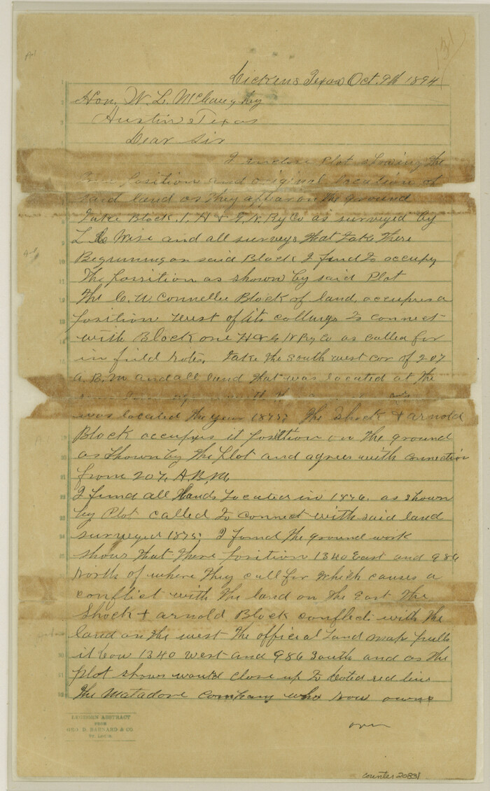

Print $4.00
- Digital $50.00
Dickens County Sketch File B
1894
Size 14.2 x 8.8 inches
Map/Doc 20831
Rio Grande, Laguna Atascosa Sheet
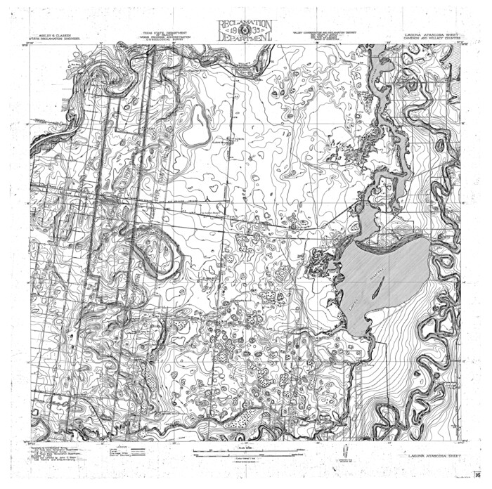

Print $20.00
- Digital $50.00
Rio Grande, Laguna Atascosa Sheet
1935
Size 37.4 x 37.6 inches
Map/Doc 65112
Hamilton County Boundary File 2
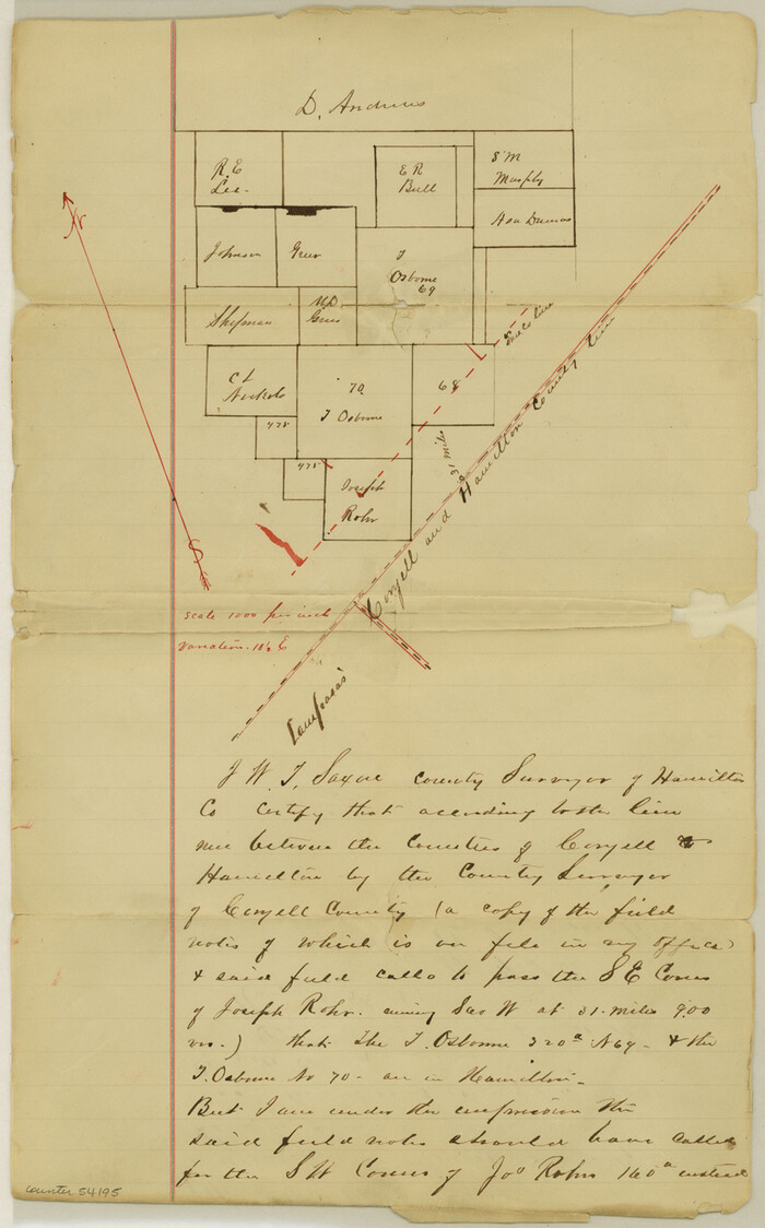

Print $4.00
- Digital $50.00
Hamilton County Boundary File 2
Size 14.2 x 8.8 inches
Map/Doc 54195
Cooke County Working Sketch 1
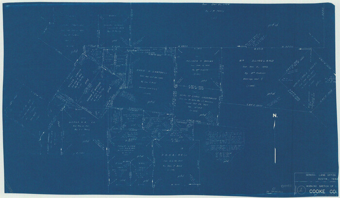

Print $20.00
- Digital $50.00
Cooke County Working Sketch 1
Size 16.5 x 28.3 inches
Map/Doc 68238
Shackelford County Sketch File 2


Print $4.00
- Digital $50.00
Shackelford County Sketch File 2
1870
Size 9.3 x 9.0 inches
Map/Doc 36572
Map of Defunct and Ghost Counties in Texas


Print $20.00
- Digital $50.00
Map of Defunct and Ghost Counties in Texas
1939
Size 17.4 x 18.6 inches
Map/Doc 4805
Stephens County Rolled Sketch 4
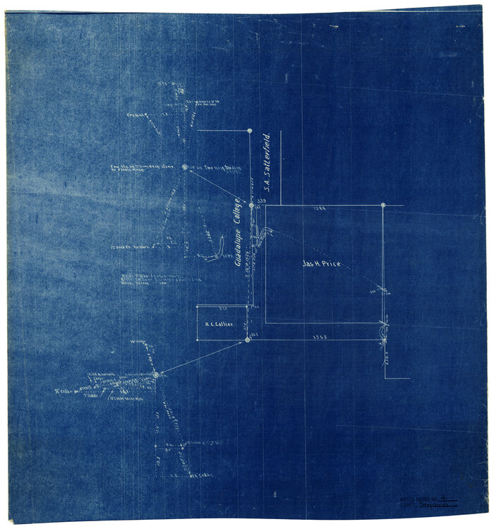

Print $20.00
- Digital $50.00
Stephens County Rolled Sketch 4
Size 20.0 x 18.5 inches
Map/Doc 7841
Flight Mission No. CRC-2R, Frame 54, Chambers County
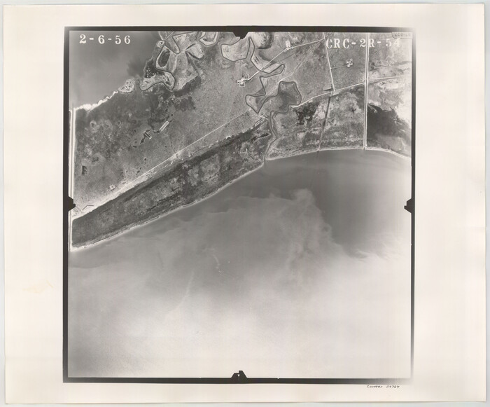

Print $20.00
- Digital $50.00
Flight Mission No. CRC-2R, Frame 54, Chambers County
1956
Size 18.5 x 22.3 inches
Map/Doc 84727
Palo Pinto County Working Sketch 19


Print $40.00
- Digital $50.00
Palo Pinto County Working Sketch 19
1975
Size 34.0 x 55.5 inches
Map/Doc 71402
Crockett County Rolled Sketch 26


Print $20.00
- Digital $50.00
Crockett County Rolled Sketch 26
Size 33.7 x 40.9 inches
Map/Doc 5585
Brewster County Sketch File N-2

Print $44.00
- Digital $50.00
Brewster County Sketch File N-2
1881
Size 8.2 x 12.8 inches
Map/Doc 15567
Webb County Working Sketch 46


Print $20.00
- Digital $50.00
Webb County Working Sketch 46
1947
Size 18.4 x 23.5 inches
Map/Doc 72411
You may also like
Red River County Sketch File 15


Print $4.00
- Digital $50.00
Red River County Sketch File 15
1863
Size 12.1 x 7.2 inches
Map/Doc 35137
Eastham Farm, Texas Prison System, Houston County
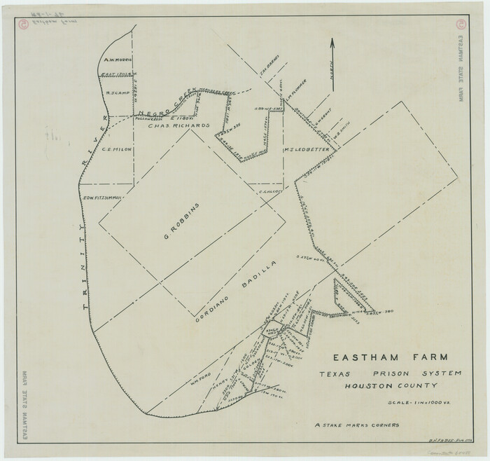

Print $20.00
- Digital $50.00
Eastham Farm, Texas Prison System, Houston County
Size 17.3 x 18.4 inches
Map/Doc 62988
Harris County Working Sketch 11
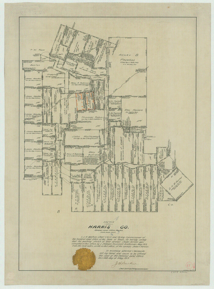

Print $20.00
- Digital $50.00
Harris County Working Sketch 11
1913
Size 30.4 x 22.5 inches
Map/Doc 65903
[Surveys in the Milam District along the Brazos River, North Bosque River, West Bosque River and Cow Bayou]
![231, [Surveys in the Milam District along the Brazos River, North Bosque River, West Bosque River and Cow Bayou], General Map Collection](https://historictexasmaps.com/wmedia_w700/maps/231.tif.jpg)
![231, [Surveys in the Milam District along the Brazos River, North Bosque River, West Bosque River and Cow Bayou], General Map Collection](https://historictexasmaps.com/wmedia_w700/maps/231.tif.jpg)
Print $2.00
- Digital $50.00
[Surveys in the Milam District along the Brazos River, North Bosque River, West Bosque River and Cow Bayou]
1846
Size 11.7 x 8.9 inches
Map/Doc 231
Flight Mission No. DQO-1K, Frame 154, Galveston County


Print $20.00
- Digital $50.00
Flight Mission No. DQO-1K, Frame 154, Galveston County
1952
Size 18.8 x 22.5 inches
Map/Doc 85007
Borden County Working Sketch 2
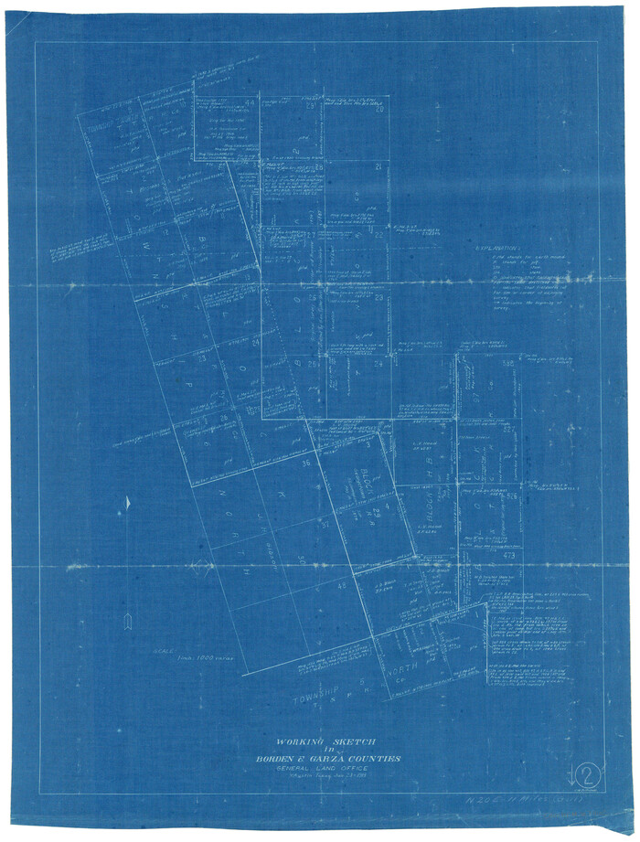

Print $20.00
- Digital $50.00
Borden County Working Sketch 2
1913
Size 24.6 x 18.4 inches
Map/Doc 67462
General Highway Map, McCulloch County, Texas


Print $20.00
General Highway Map, McCulloch County, Texas
1940
Size 24.6 x 18.2 inches
Map/Doc 79190
Hutchinson County Sketch File 28


Print $6.00
- Digital $50.00
Hutchinson County Sketch File 28
1926
Size 11.3 x 8.8 inches
Map/Doc 27261
Schleicher County Sketch File 14
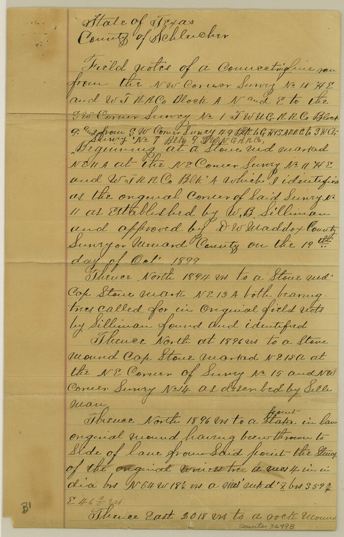

Print $12.00
- Digital $50.00
Schleicher County Sketch File 14
1917
Size 12.9 x 8.3 inches
Map/Doc 36498
Coleman County Working Sketch 2
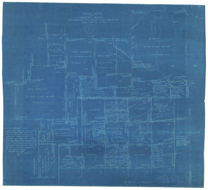

Print $20.00
- Digital $50.00
Coleman County Working Sketch 2
1917
Size 15.0 x 16.8 inches
Map/Doc 68068
Terrell County Working Sketch 19


Print $20.00
- Digital $50.00
Terrell County Working Sketch 19
1932
Size 18.8 x 25.7 inches
Map/Doc 62169
Coast Chart No. 210 Aransas Pass and Corpus Christi Bay with the coast to latitude 27° 12' Texas
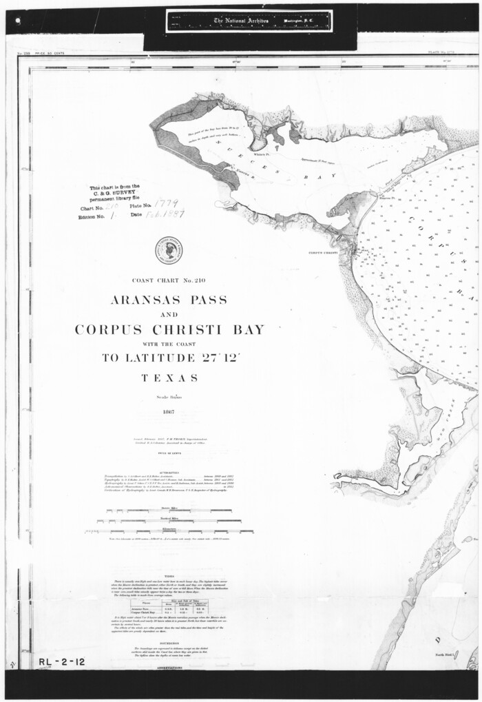

Print $20.00
- Digital $50.00
Coast Chart No. 210 Aransas Pass and Corpus Christi Bay with the coast to latitude 27° 12' Texas
1887
Size 26.6 x 18.3 inches
Map/Doc 72809
![64228, [Right of Way Map, Belton Branch of the M.K.&T. RR.], General Map Collection](https://historictexasmaps.com/wmedia_w1800h1800/maps/64228.tif.jpg)