[Surveys in the Milam District along the Brazos River, North Bosque River, West Bosque River and Cow Bayou]
Atlas G, Page 4, Sketch 19 (G-4-19)
G-4-19
-
Map/Doc
231
-
Collection
General Map Collection
-
Object Dates
1846 (Creation Date)
-
People and Organizations
G.B. Erath (Surveyor/Engineer)
-
Counties
Bosque McLennan
-
Subjects
Atlas
-
Height x Width
11.7 x 8.9 inches
29.7 x 22.6 cm
-
Medium
paper, manuscript
-
Comments
Conserved in 2003.
-
Features
South Bosque River
Brazos River
Part of: General Map Collection
Gregg County Sketch File 11


Print $12.00
- Digital $50.00
Gregg County Sketch File 11
1933
Size 14.4 x 8.9 inches
Map/Doc 24591
Wilson County Working Sketch 10

Print $20.00
- Digital $50.00
Wilson County Working Sketch 10
1980
Size 16.6 x 11.7 inches
Map/Doc 72590
Concho County Rolled Sketch 4

Print $20.00
- Digital $50.00
Concho County Rolled Sketch 4
1948
Size 47.3 x 43.6 inches
Map/Doc 8649
Foard County Working Sketch 12

Print $20.00
- Digital $50.00
Foard County Working Sketch 12
1977
Size 43.4 x 36.1 inches
Map/Doc 69203
Wharton County Sketch File 3


Print $4.00
- Digital $50.00
Wharton County Sketch File 3
1875
Size 9.1 x 8.3 inches
Map/Doc 39915
Flight Mission No. DCL-6C, Frame 4, Kenedy County

Print $20.00
- Digital $50.00
Flight Mission No. DCL-6C, Frame 4, Kenedy County
1943
Size 18.7 x 22.3 inches
Map/Doc 85864
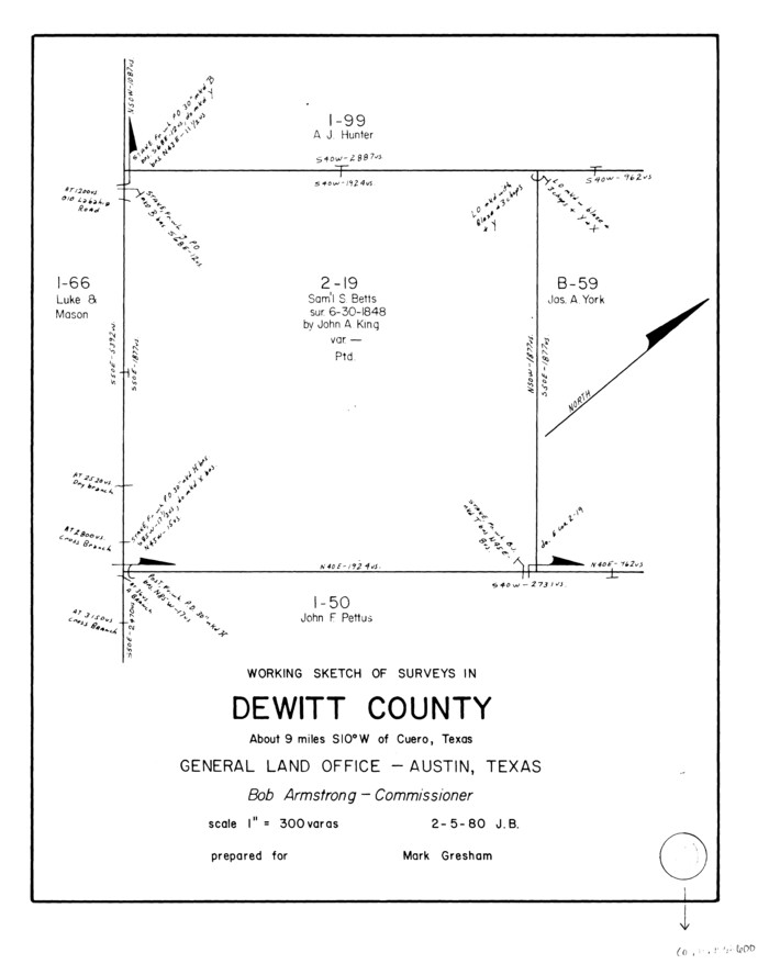
DeWitt County Working Sketch 10

Print $20.00
- Digital $50.00
DeWitt County Working Sketch 10
1980
Size 15.1 x 12.0 inches
Map/Doc 68600
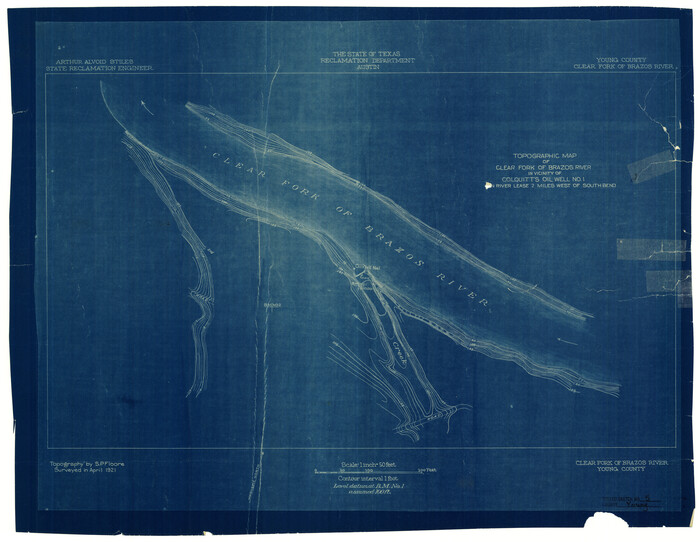
Young County Rolled Sketch 5

Print $20.00
- Digital $50.00
Young County Rolled Sketch 5
Size 20.2 x 26.1 inches
Map/Doc 8293
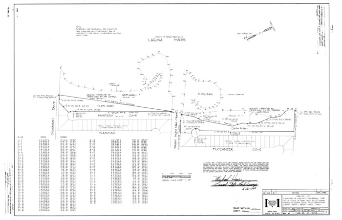
Nueces County Rolled Sketch 110

Print $20.00
- Digital $50.00
Nueces County Rolled Sketch 110
1990
Size 24.1 x 37.5 inches
Map/Doc 7117
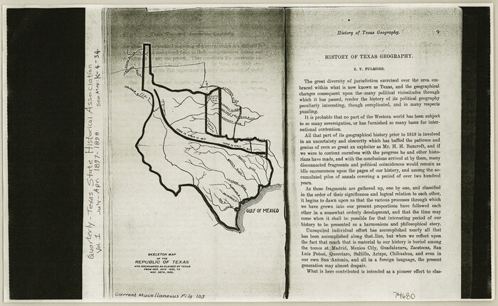
Current Miscellaneous File 105

Print $18.00
- Digital $50.00
Current Miscellaneous File 105
Size 8.8 x 14.2 inches
Map/Doc 74680
Flight Mission No. CRC-2R, Frame 184, Chambers County


Print $20.00
- Digital $50.00
Flight Mission No. CRC-2R, Frame 184, Chambers County
1956
Size 18.6 x 22.2 inches
Map/Doc 84762
Map of Wharton County

Print $20.00
- Digital $50.00
Map of Wharton County
1865
Size 24.9 x 26.9 inches
Map/Doc 4136
You may also like
[Blk. O1, W. H. Godair]
![90632, [Blk. O1, W. H. Godair], Twichell Survey Records](https://historictexasmaps.com/wmedia_w700/maps/90632-1.tif.jpg)
![90632, [Blk. O1, W. H. Godair], Twichell Survey Records](https://historictexasmaps.com/wmedia_w700/maps/90632-1.tif.jpg)
Print $20.00
- Digital $50.00
[Blk. O1, W. H. Godair]
1913
Size 30.1 x 10.3 inches
Map/Doc 90632
[Sketch showing B. S. & F. survey 9, sections 162, 163, 178, 179 in town of Bush]
![91728, [Sketch showing B. S. & F. survey 9, sections 162, 163, 178, 179 in town of Bush], Twichell Survey Records](https://historictexasmaps.com/wmedia_w700/maps/91728-1.tif.jpg)
![91728, [Sketch showing B. S. & F. survey 9, sections 162, 163, 178, 179 in town of Bush], Twichell Survey Records](https://historictexasmaps.com/wmedia_w700/maps/91728-1.tif.jpg)
Print $20.00
- Digital $50.00
[Sketch showing B. S. & F. survey 9, sections 162, 163, 178, 179 in town of Bush]
Size 12.0 x 16.1 inches
Map/Doc 91728
Zapata County Sketch File 13b


Print $6.00
- Digital $50.00
Zapata County Sketch File 13b
1936
Size 11.4 x 8.9 inches
Map/Doc 40954
McMullen County Working Sketch 9

Print $40.00
- Digital $50.00
McMullen County Working Sketch 9
1937
Size 58.8 x 36.9 inches
Map/Doc 70710
Terry County Sketch File 20

Print $4.00
- Digital $50.00
Terry County Sketch File 20
2001
Size 11.1 x 8.8 inches
Map/Doc 76365
Ward County Working Sketch 29


Print $40.00
- Digital $50.00
Ward County Working Sketch 29
1964
Size 49.3 x 26.9 inches
Map/Doc 72335
Fannin County Boundary File 8

Print $8.00
- Digital $50.00
Fannin County Boundary File 8
Size 12.8 x 8.1 inches
Map/Doc 53316
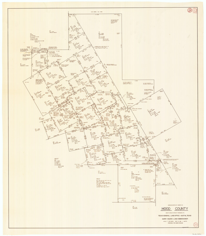
Hood County Working Sketch 20

Print $20.00
- Digital $50.00
Hood County Working Sketch 20
1989
Size 39.6 x 34.7 inches
Map/Doc 66214
Bravo Deed, Instrument 24, Tract A and Tract B


Print $3.00
- Digital $50.00
Bravo Deed, Instrument 24, Tract A and Tract B
Size 10.6 x 13.2 inches
Map/Doc 91478
[G. B. & C. N. G. Blocks K3-K8]
![90537, [G. B. & C. N. G. Blocks K3-K8], Twichell Survey Records](https://historictexasmaps.com/wmedia_w700/maps/90537-1.tif.jpg)
![90537, [G. B. & C. N. G. Blocks K3-K8], Twichell Survey Records](https://historictexasmaps.com/wmedia_w700/maps/90537-1.tif.jpg)
Print $3.00
- Digital $50.00
[G. B. & C. N. G. Blocks K3-K8]
Size 11.4 x 13.7 inches
Map/Doc 90537
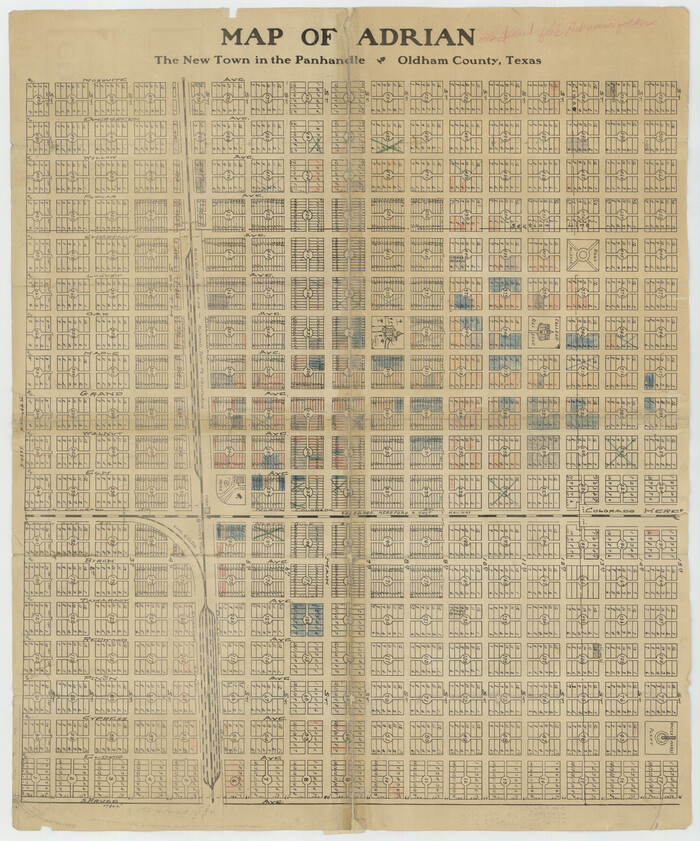
Map of Adrian, the New Town in the Panhandle, Oldham County, Texas

Print $20.00
- Digital $50.00
Map of Adrian, the New Town in the Panhandle, Oldham County, Texas
Size 21.5 x 25.8 inches
Map/Doc 92135
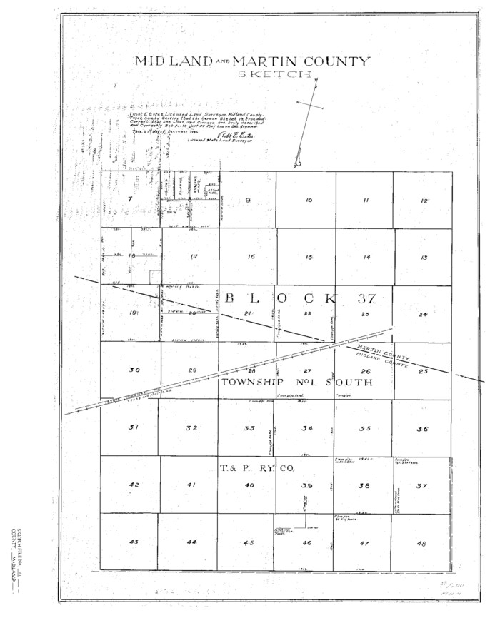
Midland County Sketch File 11

Print $20.00
- Digital $50.00
Midland County Sketch File 11
1936
Size 21.6 x 17.5 inches
Map/Doc 12086
![231, [Surveys in the Milam District along the Brazos River, North Bosque River, West Bosque River and Cow Bayou], General Map Collection](https://historictexasmaps.com/wmedia_w1800h1800/maps/231.tif.jpg)