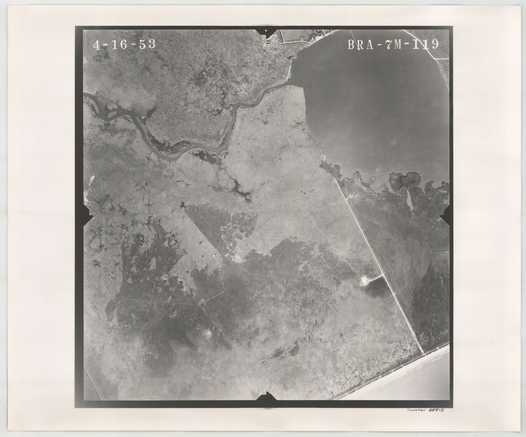
Flight Mission No. BRA-7M, Frame 119, Jefferson County
[Aerial Photo, Jefferson County, frame BRA-7M-119]
-
Map/Doc
85513
-
Collection
General Map Collection
-
Object Dates
1953/4/16 (Creation Date)
-
People and Organizations
U. S. Department of Agriculture (Publisher)
-
Counties
Jefferson
-
Subjects
Aerial Photograph
-
Height x Width
18.5 x 22.4 inches
47.0 x 56.9 cm
-
Comments
Flown by Jack Ammann Photogrammetric Engineers of San Antonio, Texas.
Part of: General Map Collection
Fannin County Sketch File 16

Print $4.00
- Digital $50.00
Fannin County Sketch File 16
1873
Size 8.1 x 10.3 inches
Map/Doc 22469
Dimmit County Working Sketch 58

Print $20.00
- Digital $50.00
Dimmit County Working Sketch 58
2017
Size 24.2 x 36.2 inches
Map/Doc 94121
Presidio County Working Sketch 139

Print $20.00
- Digital $50.00
Presidio County Working Sketch 139
1990
Size 34.7 x 38.2 inches
Map/Doc 71817
Eastland County Working Sketch 64

Print $40.00
- Digital $50.00
Eastland County Working Sketch 64
1983
Size 43.3 x 68.4 inches
Map/Doc 88891
Industrial - Commercial - Progressive Dallas

Industrial - Commercial - Progressive Dallas
1940
Size 19.1 x 23.7 inches
Map/Doc 96509
Oldham County

Print $40.00
- Digital $50.00
Oldham County
1925
Size 40.5 x 52.1 inches
Map/Doc 73254
Shackelford County Boundary File 7

Print $74.00
- Digital $50.00
Shackelford County Boundary File 7
Size 11.6 x 8.9 inches
Map/Doc 58671
Nueces County Sketch File 80

Print $102.00
- Digital $50.00
Nueces County Sketch File 80
1997
Size 11.0 x 8.5 inches
Map/Doc 33104
Nueces County Rolled Sketch 68A

Print $165.00
- Digital $50.00
Nueces County Rolled Sketch 68A
1980
Size 9.8 x 15.0 inches
Map/Doc 47898
Dimmit County Working Sketch Graphic Index - sheet B

Print $40.00
- Digital $50.00
Dimmit County Working Sketch Graphic Index - sheet B
1976
Size 41.5 x 49.9 inches
Map/Doc 76525
Henderson County Rolled Sketch 8

Print $40.00
- Digital $50.00
Henderson County Rolled Sketch 8
1963
Size 37.3 x 50.9 inches
Map/Doc 9164
Oldham County Sketch File 15

Print $6.00
- Digital $50.00
Oldham County Sketch File 15
1904
Size 11.2 x 8.5 inches
Map/Doc 33261
You may also like
Shackelford County Rolled Sketch 4A

Print $40.00
- Digital $50.00
Shackelford County Rolled Sketch 4A
1984
Size 35.2 x 48.7 inches
Map/Doc 9917
[County School Land for Shackelford, Reeves, Hardeman, Val Verde, Hood, Martin, Rusk, Atascosa, and Edwards Counties]
![91100, [County School Land for Shackelford, Reeves, Hardeman, Val Verde, Hood, Martin, Rusk, Atascosa, and Edwards Counties], Twichell Survey Records](https://historictexasmaps.com/wmedia_w700/maps/91100-1.tif.jpg)
Print $2.00
- Digital $50.00
[County School Land for Shackelford, Reeves, Hardeman, Val Verde, Hood, Martin, Rusk, Atascosa, and Edwards Counties]
Size 7.5 x 6.4 inches
Map/Doc 91100
Travis County Working Sketch 36

Print $20.00
- Digital $50.00
Travis County Working Sketch 36
1967
Size 23.4 x 30.8 inches
Map/Doc 69420
Wichita County Sketch File 36

Print $20.00
- Digital $50.00
Wichita County Sketch File 36
1894
Size 20.1 x 25.9 inches
Map/Doc 12689
Mosaic composed of aerial photographs - Galveston, Tex.

Print $20.00
- Digital $50.00
Mosaic composed of aerial photographs - Galveston, Tex.
1923
Size 15.3 x 33.3 inches
Map/Doc 97160
Crockett County Sketch File A

Print $40.00
- Digital $50.00
Crockett County Sketch File A
Size 21.9 x 7.5 inches
Map/Doc 19624
Galveston County Rolled Sketch JS

Print $20.00
- Digital $50.00
Galveston County Rolled Sketch JS
1934
Size 34.0 x 41.9 inches
Map/Doc 9091
Map of the Texas and Pacific Railway and connections

Print $20.00
- Digital $50.00
Map of the Texas and Pacific Railway and connections
1925
Size 8.2 x 9.3 inches
Map/Doc 95772
Brazoria County Working Sketch 24

Print $20.00
- Digital $50.00
Brazoria County Working Sketch 24
1963
Size 35.7 x 25.0 inches
Map/Doc 67509
[G. B. & C. N. G. Blocks K3-K8]
![90537, [G. B. & C. N. G. Blocks K3-K8], Twichell Survey Records](https://historictexasmaps.com/wmedia_w700/maps/90537-1.tif.jpg)
Print $3.00
- Digital $50.00
[G. B. & C. N. G. Blocks K3-K8]
Size 11.4 x 13.7 inches
Map/Doc 90537
Harbor Pass and Bar at Brazos Santiago, Texas

Print $20.00
- Digital $50.00
Harbor Pass and Bar at Brazos Santiago, Texas
1871
Size 18.3 x 26.8 inches
Map/Doc 72982
Dimmit County Rolled Sketch 21

Print $20.00
- Digital $50.00
Dimmit County Rolled Sketch 21
2013
Size 25.5 x 22.5 inches
Map/Doc 93488