Fannin County Sketch File 16
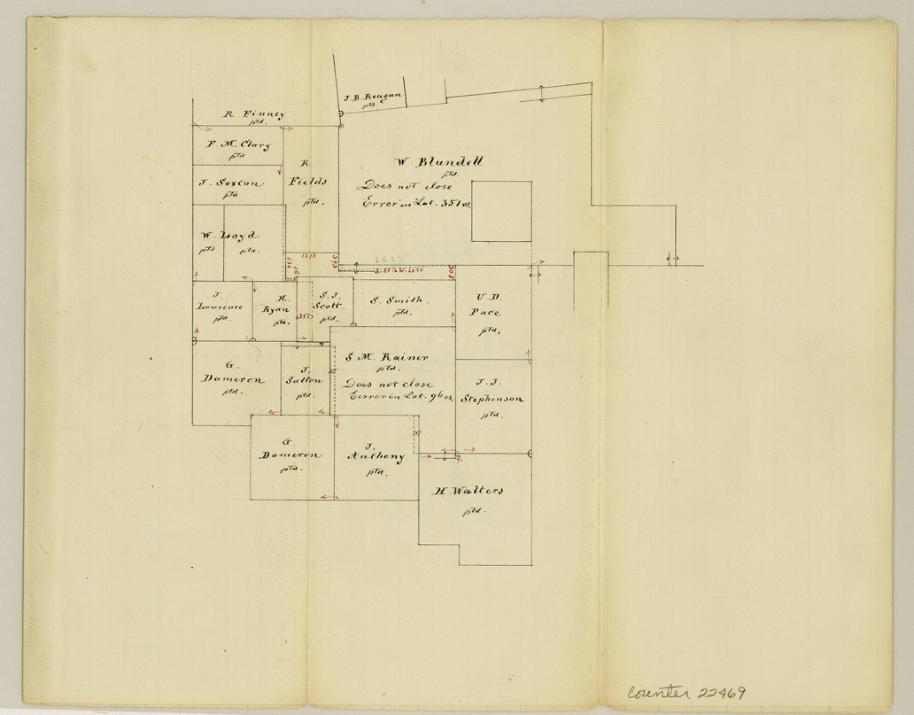
[Sketch of surveys around the William Blundell survey]
-
Map/Doc
22469
-
Collection
General Map Collection
-
Object Dates
1873/6/20 (File Date)
1873/6/20 (Creation Date)
-
People and Organizations
W. von Rosenberg (Surveyor/Engineer)
Thielepape (Draftsman)
-
Counties
Fannin
-
Subjects
Surveying Sketch File
-
Height x Width
8.1 x 10.3 inches
20.6 x 26.2 cm
-
Medium
paper, manuscript
Part of: General Map Collection
Kerr County Rolled Sketch 8 and 9

Print $40.00
- Digital $50.00
Kerr County Rolled Sketch 8 and 9
Size 56.3 x 37.9 inches
Map/Doc 8346
Aransas County Boundary File 4

Print $30.00
- Digital $50.00
Aransas County Boundary File 4
Size 9.2 x 7.8 inches
Map/Doc 49790
Bell County Working Sketch 4

Print $20.00
- Digital $50.00
Bell County Working Sketch 4
1942
Size 26.9 x 21.0 inches
Map/Doc 67344
Wilson County Boundary File 4

Print $26.00
- Digital $50.00
Wilson County Boundary File 4
Size 8.9 x 7.8 inches
Map/Doc 60096
Reagan County Sketch File 35

Print $6.00
- Digital $50.00
Reagan County Sketch File 35
1962
Size 14.4 x 8.7 inches
Map/Doc 35032
Jim Wells County Working Sketch 3

Print $20.00
- Digital $50.00
Jim Wells County Working Sketch 3
1936
Size 27.7 x 24.5 inches
Map/Doc 66601
Sterling County Rolled Sketch 14

Print $20.00
- Digital $50.00
Sterling County Rolled Sketch 14
Size 22.3 x 26.6 inches
Map/Doc 7848
Culberson County Working Sketch 6

Print $20.00
- Digital $50.00
Culberson County Working Sketch 6
1911
Size 33.2 x 44.1 inches
Map/Doc 68458
Travis County Working Sketch 66

Print $20.00
- Digital $50.00
Travis County Working Sketch 66
2017
Size 24.5 x 36.6 inches
Map/Doc 94122
Jones County Working Sketch 2

Print $20.00
- Digital $50.00
Jones County Working Sketch 2
1928
Size 19.9 x 22.2 inches
Map/Doc 66640
Field notes for subdivisions of University Leagues/Surveys in Fannin, Grayson, McLennan, Hunt, Lamar, Collin, and Cooke Counties

Field notes for subdivisions of University Leagues/Surveys in Fannin, Grayson, McLennan, Hunt, Lamar, Collin, and Cooke Counties
Map/Doc 81727
Flight Mission No. BRE-2P, Frame 130, Nueces County

Print $20.00
- Digital $50.00
Flight Mission No. BRE-2P, Frame 130, Nueces County
1956
Size 18.6 x 22.3 inches
Map/Doc 86803
You may also like
Ward County Rolled Sketch 24D

Print $40.00
- Digital $50.00
Ward County Rolled Sketch 24D
Size 45.6 x 69.0 inches
Map/Doc 10113
Flight Mission No. DCL-6C, Frame 7, Kenedy County

Print $20.00
- Digital $50.00
Flight Mission No. DCL-6C, Frame 7, Kenedy County
1943
Size 18.6 x 22.4 inches
Map/Doc 85867

Glasscock County Sketch File 20

Print $40.00
- Digital $50.00
Glasscock County Sketch File 20
1935
Size 15.6 x 12.6 inches
Map/Doc 24196
Flight Mission No. DAG-18K, Frame 190, Matagorda County

Print $20.00
- Digital $50.00
Flight Mission No. DAG-18K, Frame 190, Matagorda County
1952
Size 18.6 x 22.3 inches
Map/Doc 86382
Mexico, Mittel-America, Texas

Print $20.00
- Digital $50.00
Mexico, Mittel-America, Texas
1850
Size 14.4 x 17.7 inches
Map/Doc 93710
Liberty County Sketch File 50

Print $42.00
- Digital $50.00
Liberty County Sketch File 50
1879
Size 12.6 x 8.4 inches
Map/Doc 30014
Crockett County Working Sketch 4

Print $40.00
- Digital $50.00
Crockett County Working Sketch 4
Size 26.8 x 70.4 inches
Map/Doc 68337
Fractional Township No. 9 South Range No. 10 East of the Indian Meridian, Indian Territory

Print $20.00
- Digital $50.00
Fractional Township No. 9 South Range No. 10 East of the Indian Meridian, Indian Territory
1898
Size 19.3 x 24.3 inches
Map/Doc 75219
Gregg County Rolled Sketch 7A

Print $20.00
- Digital $50.00
Gregg County Rolled Sketch 7A
1932
Size 22.6 x 39.2 inches
Map/Doc 6033
Zavalla County

Print $20.00
- Digital $50.00
Zavalla County
1879
Size 22.8 x 27.2 inches
Map/Doc 4182
Gulf Intracoastal Waterway, Tex. - Aransas Bay to Corpus Christi Bay - Modified Route of Main Channel/Dredging

Print $20.00
- Digital $50.00
Gulf Intracoastal Waterway, Tex. - Aransas Bay to Corpus Christi Bay - Modified Route of Main Channel/Dredging
1958
Size 31.3 x 42.6 inches
Map/Doc 61894