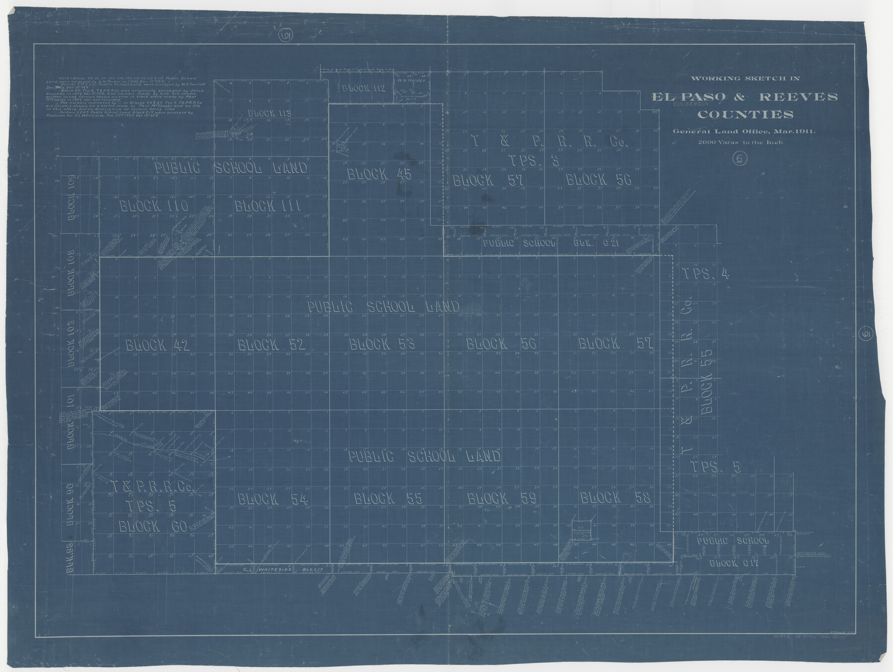
Culberson County Working Sketch 6
-
Map/Doc
68458
-
Collection
General Map Collection
-
Object Dates
3/1911 (Creation Date)
-
Counties
Culberson Reeves
-
Subjects
Surveying Working Sketch
-
Height x Width
33.2 x 44.1 inches
84.3 x 112.0 cm
-
Scale
1" = 2000 varas
Part of: General Map Collection
Angelina County Sketch File 18b

Print $40.00
- Digital $50.00
Angelina County Sketch File 18b
Size 12.6 x 16.2 inches
Map/Doc 13032
Jefferson County Rolled Sketch 33

Print $20.00
- Digital $50.00
Jefferson County Rolled Sketch 33
1956
Size 46.8 x 27.5 inches
Map/Doc 6393
Flight Mission No. DAG-21K, Frame 116, Matagorda County

Print $20.00
- Digital $50.00
Flight Mission No. DAG-21K, Frame 116, Matagorda County
1952
Size 18.6 x 22.3 inches
Map/Doc 86439
Jefferson County NRC Article 33.136 Sketch 9

Print $22.00
- Digital $50.00
Jefferson County NRC Article 33.136 Sketch 9
2011
Size 24.0 x 36.0 inches
Map/Doc 94517
Passage par terre a la Californie decouvert par le R.P. Eusebe-Francois Kino Jesuite depuis 1698 jusqua 1701 ou l'on voit encore les nouvelles Missions des PP. de la Compagnie de Texas

Print $20.00
- Digital $50.00
Passage par terre a la Californie decouvert par le R.P. Eusebe-Francois Kino Jesuite depuis 1698 jusqua 1701 ou l'on voit encore les nouvelles Missions des PP. de la Compagnie de Texas
1819
Size 10.7 x 10.6 inches
Map/Doc 96567
Nueces County NRC Article 33.136 Sketch 24

Print $24.00
Nueces County NRC Article 33.136 Sketch 24
2024
Map/Doc 97424
Brewster County Rolled Sketch 60

Print $40.00
- Digital $50.00
Brewster County Rolled Sketch 60
1942
Size 42.9 x 48.0 inches
Map/Doc 16960
Wharton County Rolled Sketch 8

Print $20.00
- Digital $50.00
Wharton County Rolled Sketch 8
Size 24.4 x 39.2 inches
Map/Doc 8232
McMullen County Rolled Sketch 19

Print $20.00
- Digital $50.00
McMullen County Rolled Sketch 19
1963
Size 26.6 x 39.6 inches
Map/Doc 6735
Kleberg County Rolled Sketch 10-25

Print $20.00
- Digital $50.00
Kleberg County Rolled Sketch 10-25
1952
Size 38.1 x 35.8 inches
Map/Doc 9365
Hudspeth County Working Sketch 28

Print $20.00
- Digital $50.00
Hudspeth County Working Sketch 28
1972
Size 29.2 x 31.3 inches
Map/Doc 66310
Flight Mission No. CLL-1N, Frame 32, Willacy County

Print $20.00
- Digital $50.00
Flight Mission No. CLL-1N, Frame 32, Willacy County
1954
Size 17.5 x 19.4 inches
Map/Doc 87013
You may also like
Nueces County NRC Article 33.136 Sketch 17

Print $26.00
- Digital $50.00
Nueces County NRC Article 33.136 Sketch 17
2013
Size 18.0 x 24.0 inches
Map/Doc 94487
Sulphur River, Bexelder Sheet/Cuthand Creek

Print $20.00
- Digital $50.00
Sulphur River, Bexelder Sheet/Cuthand Creek
Size 17.3 x 14.1 inches
Map/Doc 78325
Titus County Working Sketch 1

Print $20.00
- Digital $50.00
Titus County Working Sketch 1
Size 18.2 x 17.3 inches
Map/Doc 69362
Harris County Working Sketch 96

Print $20.00
- Digital $50.00
Harris County Working Sketch 96
1978
Size 18.2 x 26.6 inches
Map/Doc 65988
170th Anniversary Land Commissioners of the Texas General Land Office

Print $20.00
- Digital $50.00
170th Anniversary Land Commissioners of the Texas General Land Office
2006
Size 36.4 x 24.1 inches
Map/Doc 87177

Sterling County Sketch File 10

Print $30.00
- Digital $50.00
Sterling County Sketch File 10
1927
Size 11.2 x 8.7 inches
Map/Doc 37133
Lamar County Texas

Print $20.00
- Digital $50.00
Lamar County Texas
1879
Size 23.4 x 18.3 inches
Map/Doc 3784
McLennan County Sketch File 4a

Print $6.00
- Digital $50.00
McLennan County Sketch File 4a
Size 9.2 x 7.9 inches
Map/Doc 31237
General Chart of the Coast No. XVI - Gulf Coast from Galveston to the Rio Grande

Print $20.00
- Digital $50.00
General Chart of the Coast No. XVI - Gulf Coast from Galveston to the Rio Grande
1883
Size 26.7 x 18.2 inches
Map/Doc 72738
Harrison County Working Sketch 26

Print $20.00
- Digital $50.00
Harrison County Working Sketch 26
1986
Size 38.4 x 30.0 inches
Map/Doc 66046
[Sketch of surveys north of Canadian River, Hemphill County, Texas]
![484, [Sketch of surveys north of Canadian River, Hemphill County, Texas], Maddox Collection](https://historictexasmaps.com/wmedia_w700/maps/00484-1.tif.jpg)
Print $3.00
- Digital $50.00
[Sketch of surveys north of Canadian River, Hemphill County, Texas]
1882
Size 10.5 x 13.5 inches
Map/Doc 484