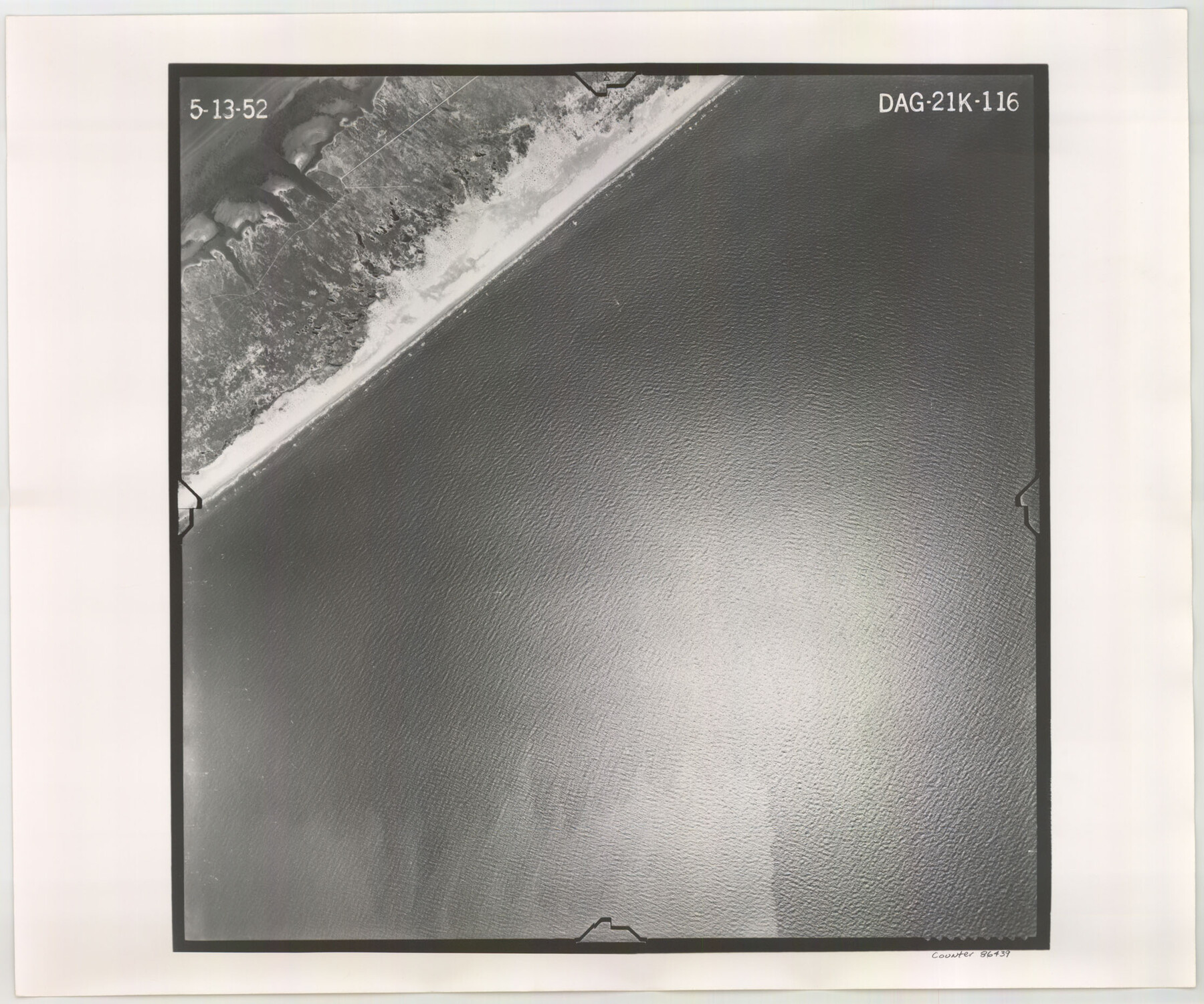
Flight Mission No. DAG-21K, Frame 116, Matagorda County
DAG-21K-116
-
Map/Doc
86439
-
Collection
General Map Collection
-
Object Dates
1952/5/13 (Creation Date)
-
People and Organizations
U. S. Department of Agriculture (Publisher)
-
Counties
Matagorda
-
Subjects
Aerial Photograph
-
Height x Width
18.6 x 22.3 inches
47.2 x 56.6 cm
-
Comments
Flown by Aero Exploration Company of Tulsa, Oklahoma.
Part of: General Map Collection
Leon County Working Sketch 2

Print $20.00
- Digital $50.00
Leon County Working Sketch 2
Size 17.3 x 17.0 inches
Map/Doc 70401
Hardin County Working Sketch 29

Print $20.00
- Digital $50.00
Hardin County Working Sketch 29
1958
Size 36.7 x 22.1 inches
Map/Doc 63427
Crockett County Working Sketch 55

Print $40.00
- Digital $50.00
Crockett County Working Sketch 55
1951
Size 51.0 x 37.5 inches
Map/Doc 68388

Webb County Boundary File 2

Print $12.00
- Digital $50.00
Webb County Boundary File 2
Size 11.3 x 8.7 inches
Map/Doc 59710
Map of Bastrop District

Print $20.00
- Digital $50.00
Map of Bastrop District
1847
Size 22.9 x 28.3 inches
Map/Doc 3275
Old Miscellaneous File 37

Print $4.00
- Digital $50.00
Old Miscellaneous File 37
1912
Size 11.2 x 8.8 inches
Map/Doc 75280
Fractional Township No. 6 South Range No. 4 West of the Indian Meridian, Indian Territory

Print $20.00
- Digital $50.00
Fractional Township No. 6 South Range No. 4 West of the Indian Meridian, Indian Territory
1898
Size 19.2 x 24.4 inches
Map/Doc 75191
Val Verde County Sketch File M

Print $18.00
- Digital $50.00
Val Verde County Sketch File M
1920
Size 14.5 x 9.1 inches
Map/Doc 39275
Pecos County Rolled Sketch 156

Print $40.00
- Digital $50.00
Pecos County Rolled Sketch 156
1938
Size 39.7 x 48.1 inches
Map/Doc 9738
Crockett County Rolled Sketch 45

Print $40.00
- Digital $50.00
Crockett County Rolled Sketch 45
Size 54.8 x 16.5 inches
Map/Doc 8710
Flight Mission No. DIX-7P, Frame 22, Aransas County

Print $20.00
- Digital $50.00
Flight Mission No. DIX-7P, Frame 22, Aransas County
1956
Size 18.7 x 22.5 inches
Map/Doc 83874
You may also like
Colorado County Sketch File 7

Print $4.00
- Digital $50.00
Colorado County Sketch File 7
1862
Size 13.1 x 8.0 inches
Map/Doc 18925
Dawson County Working Sketch 5

Print $20.00
- Digital $50.00
Dawson County Working Sketch 5
1926
Size 22.3 x 26.1 inches
Map/Doc 68548
United States - Gulf Coast Texas - Southern part of Laguna Madre

Print $20.00
- Digital $50.00
United States - Gulf Coast Texas - Southern part of Laguna Madre
1933
Size 26.9 x 18.3 inches
Map/Doc 72952
Anderson County Working Sketch 5

Print $20.00
- Digital $50.00
Anderson County Working Sketch 5
1913
Size 15.0 x 15.3 inches
Map/Doc 67004
Flight Mission No. CGI-3N, Frame 72, Cameron County

Print $20.00
- Digital $50.00
Flight Mission No. CGI-3N, Frame 72, Cameron County
1954
Size 18.5 x 22.3 inches
Map/Doc 84566
La Salle County Working Sketch 50

Print $40.00
- Digital $50.00
La Salle County Working Sketch 50
1985
Size 50.6 x 26.2 inches
Map/Doc 70351
Comal County Sketch File 9

Print $4.00
- Digital $50.00
Comal County Sketch File 9
1859
Size 13.6 x 8.5 inches
Map/Doc 19016
Montgomery County Working Sketch 58

Print $40.00
- Digital $50.00
Montgomery County Working Sketch 58
1962
Size 39.1 x 51.0 inches
Map/Doc 71165
Henderson County Working Sketch 23

Print $20.00
- Digital $50.00
Henderson County Working Sketch 23
1951
Size 28.2 x 24.2 inches
Map/Doc 66156
Reagan County Rolled Sketch 11

Print $20.00
- Digital $50.00
Reagan County Rolled Sketch 11
1931
Size 20.2 x 39.3 inches
Map/Doc 7439
Stephens County

Print $20.00
- Digital $50.00
Stephens County
1879
Size 27.8 x 19.6 inches
Map/Doc 4051
[E. L. & R. R. Block E, Showing Mound Lake]
![91335, [E. L. & R. R. Block E, Showing Mound Lake], Twichell Survey Records](https://historictexasmaps.com/wmedia_w700/maps/91335-1.tif.jpg)
Print $2.00
- Digital $50.00
[E. L. & R. R. Block E, Showing Mound Lake]
Size 14.8 x 6.3 inches
Map/Doc 91335