Glasscock County Sketch File 20
[Sketch of Block 33, Township 4 South]
-
Map/Doc
24196
-
Collection
General Map Collection
-
Object Dates
3/5/1935 (Creation Date)
5/3/1938 (File Date)
-
People and Organizations
W.F. Kellis (Surveyor/Engineer)
-
Counties
Glasscock
-
Subjects
Surveying Sketch File
-
Height x Width
15.6 x 12.6 inches
39.6 x 32.0 cm
-
Medium
blueprint/diazo
-
Scale
1" = 1500 varas
-
Features
Garden City
Apple Creek
Garden City and Sterling City Road
Garden City Road
Sterling City Road
Lacy Creek
S.R. Cox Ranch
Part of: General Map Collection
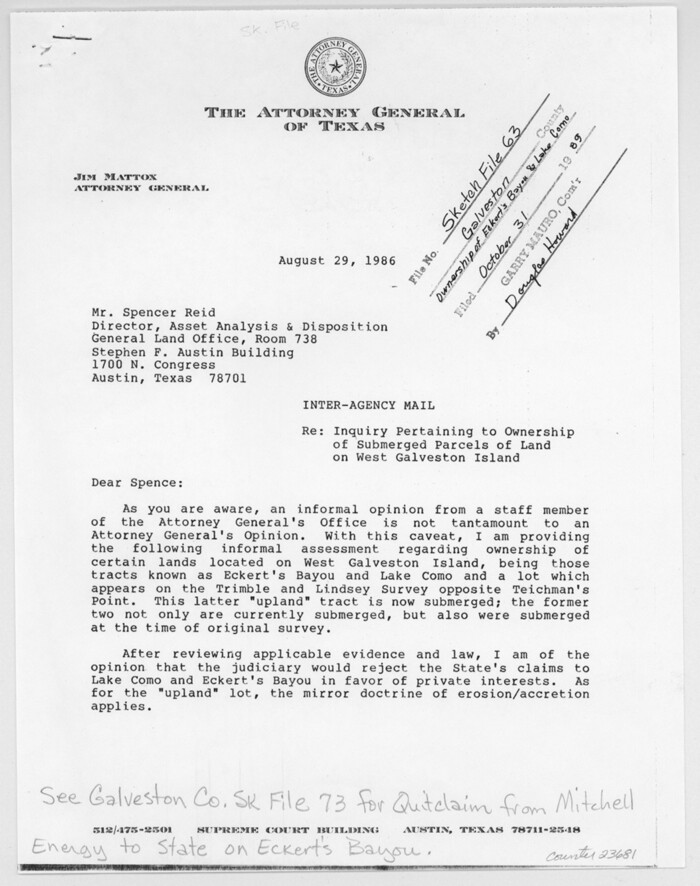
Galveston County Sketch File 63

Print $52.00
- Digital $50.00
Galveston County Sketch File 63
Size 11.3 x 8.9 inches
Map/Doc 23681
Travis County Sketch File 63


Print $14.00
- Digital $50.00
Travis County Sketch File 63
Size 13.5 x 9.2 inches
Map/Doc 38431
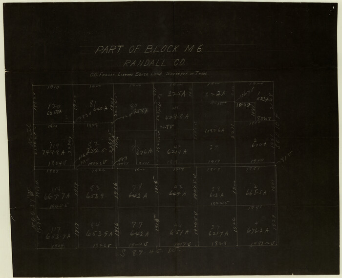
Randall County Sketch File 9

Print $22.00
- Digital $50.00
Randall County Sketch File 9
Size 13.9 x 17.0 inches
Map/Doc 34970
Erath County Working Sketch 28


Print $20.00
- Digital $50.00
Erath County Working Sketch 28
1970
Size 31.8 x 31.6 inches
Map/Doc 69109
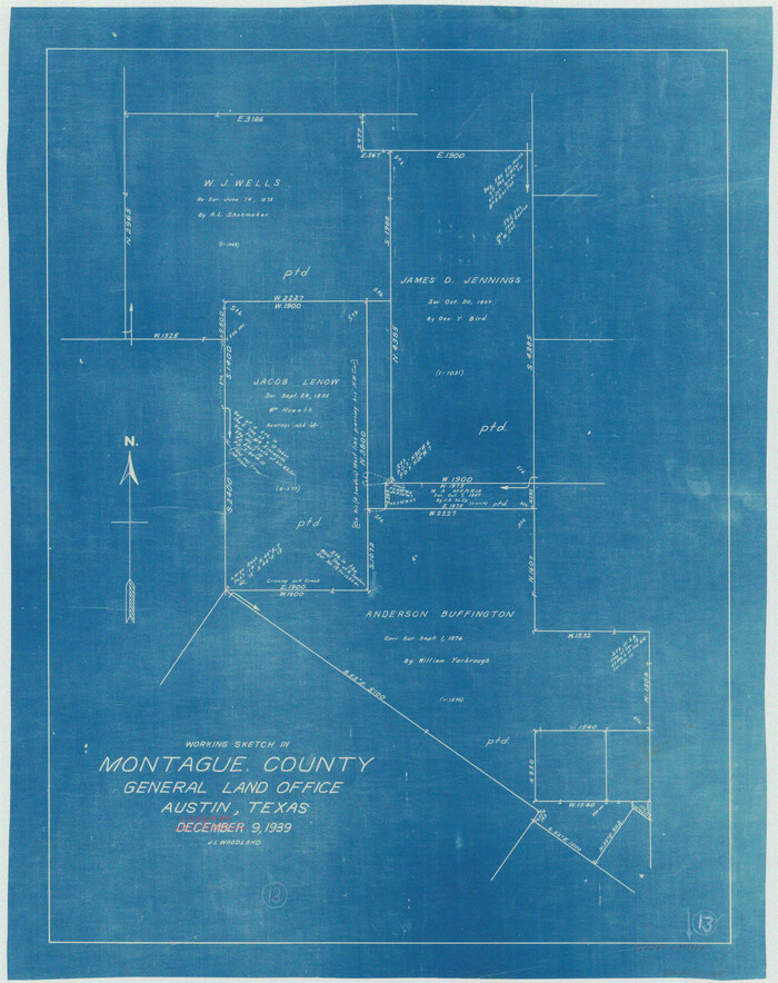
Montague County Working Sketch 13

Print $20.00
- Digital $50.00
Montague County Working Sketch 13
1939
Size 26.0 x 20.6 inches
Map/Doc 71079
Jefferson County Working Sketch 44


Print $20.00
- Digital $50.00
Jefferson County Working Sketch 44
1960
Size 42.4 x 36.4 inches
Map/Doc 73592
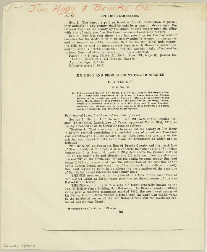
Jim Hogg County Boundary File 2

Print $4.00
- Digital $50.00
Jim Hogg County Boundary File 2
Size 10.6 x 8.7 inches
Map/Doc 55527
Brown County Working Sketch 16
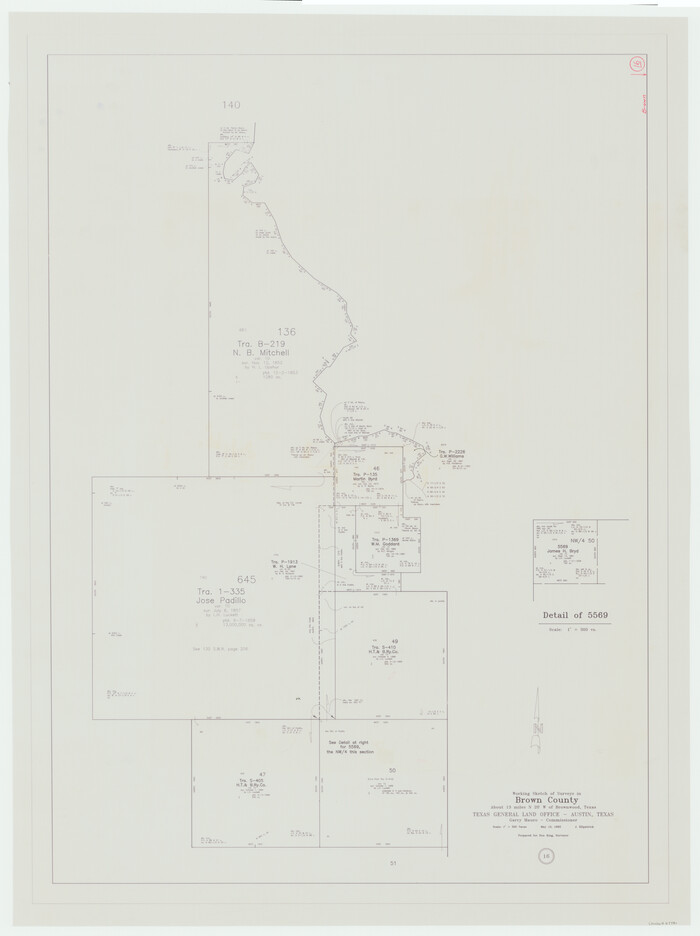

Print $20.00
- Digital $50.00
Brown County Working Sketch 16
1993
Size 46.3 x 34.7 inches
Map/Doc 67781
Austin County Working Sketch 1
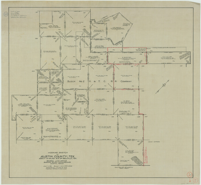

Print $20.00
- Digital $50.00
Austin County Working Sketch 1
1941
Size 27.7 x 30.1 inches
Map/Doc 67242
Mason County Boundary File 63


Print $10.00
- Digital $50.00
Mason County Boundary File 63
Size 9.4 x 5.9 inches
Map/Doc 56879
Galveston County NRC Article 33.136 Sketch 1


Print $102.00
- Digital $50.00
Galveston County NRC Article 33.136 Sketch 1
2001
Size 24.8 x 36.3 inches
Map/Doc 61560
Burnet County Working Sketch 13
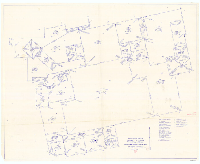

Print $40.00
- Digital $50.00
Burnet County Working Sketch 13
1977
Size 40.5 x 49.2 inches
Map/Doc 67856
You may also like
Flight Mission No. BRA-16M, Frame 67, Jefferson County
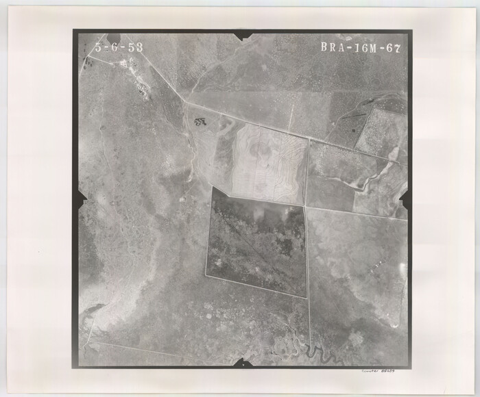

Print $20.00
- Digital $50.00
Flight Mission No. BRA-16M, Frame 67, Jefferson County
1953
Size 18.6 x 22.4 inches
Map/Doc 85684
Scurry County Working Sketch 8
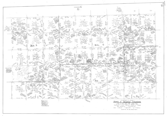

Print $40.00
- Digital $50.00
Scurry County Working Sketch 8
1980
Size 34.5 x 49.5 inches
Map/Doc 63837
[Leagues 7, 8, 9, and 10]
![92216, [Leagues 7, 8, 9, and 10], Twichell Survey Records](https://historictexasmaps.com/wmedia_w700/maps/92216-1.tif.jpg)
![92216, [Leagues 7, 8, 9, and 10], Twichell Survey Records](https://historictexasmaps.com/wmedia_w700/maps/92216-1.tif.jpg)
Print $20.00
- Digital $50.00
[Leagues 7, 8, 9, and 10]
Size 38.3 x 26.2 inches
Map/Doc 92216
Sterling County Rolled Sketch 13


Print $20.00
- Digital $50.00
Sterling County Rolled Sketch 13
1945
Size 34.9 x 27.3 inches
Map/Doc 7847
El Paso County Rolled Sketch 52
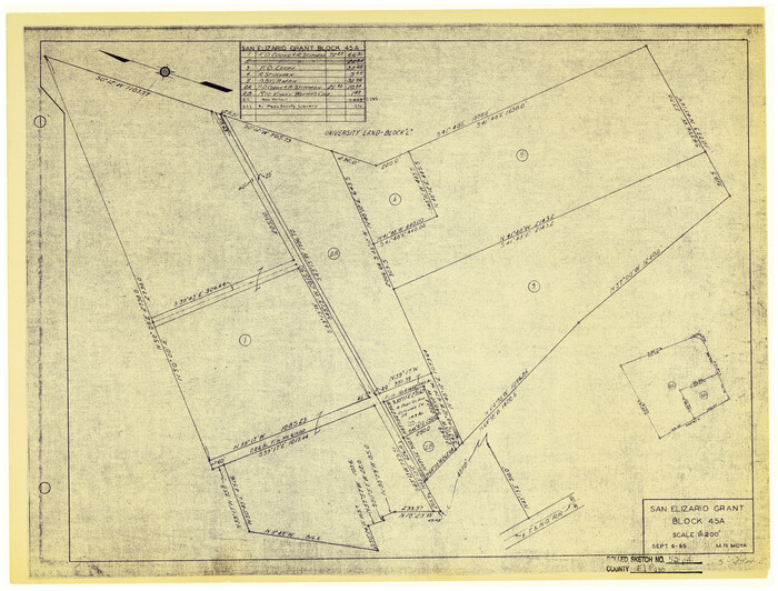

Print $20.00
- Digital $50.00
El Paso County Rolled Sketch 52
1955
Size 18.5 x 24.3 inches
Map/Doc 5840
Duval County Rolled Sketch Pressly No. 2A
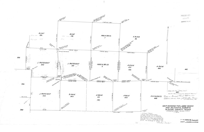

Print $20.00
- Digital $50.00
Duval County Rolled Sketch Pressly No. 2A
1935
Size 22.3 x 34.4 inches
Map/Doc 5771
Loving County Working Sketch 19
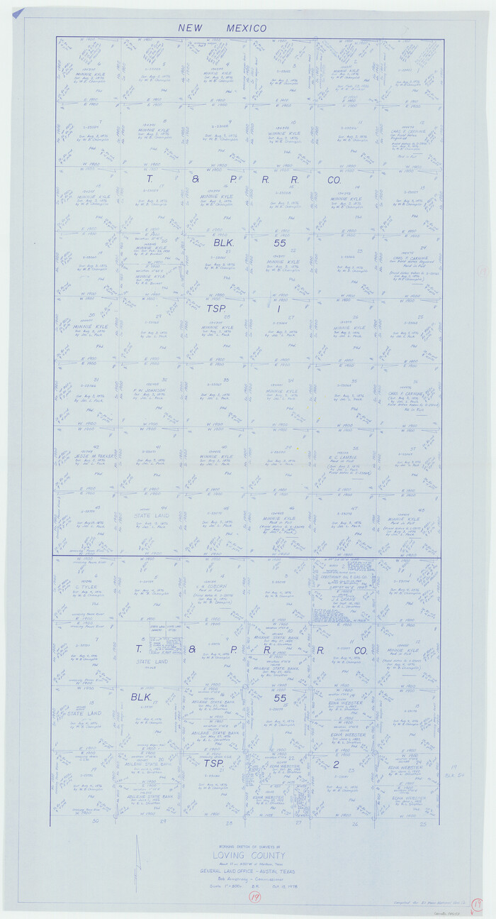

Print $40.00
- Digital $50.00
Loving County Working Sketch 19
1978
Size 54.0 x 29.2 inches
Map/Doc 70653
Matagorda County NRC Article 33.136 Location Key Sheet


Print $20.00
- Digital $50.00
Matagorda County NRC Article 33.136 Location Key Sheet
1973
Size 27.0 x 23.0 inches
Map/Doc 88832
Navarro County Working Sketch 2
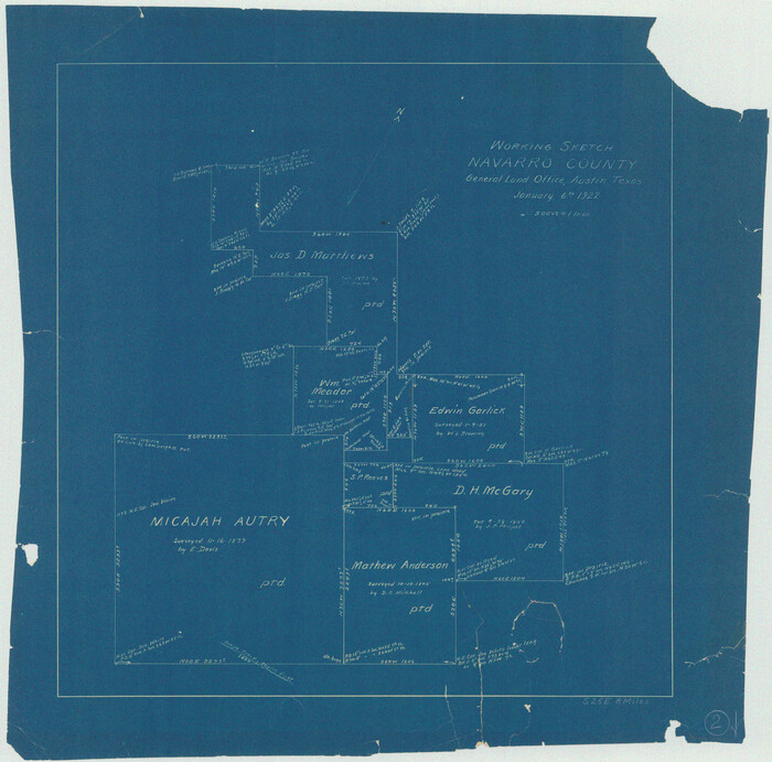

Print $20.00
- Digital $50.00
Navarro County Working Sketch 2
1922
Size 21.9 x 22.2 inches
Map/Doc 71232
Subdivision of the East Half of Lot No. 1 in Division "Z" of the Out-Lots adjoining the City of Austin
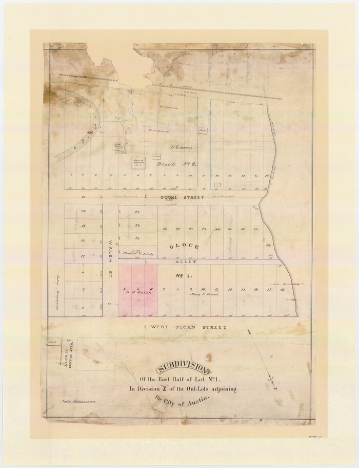

Print $20.00
- Digital $50.00
Subdivision of the East Half of Lot No. 1 in Division "Z" of the Out-Lots adjoining the City of Austin
Size 32.1 x 42.6 inches
Map/Doc 648
Comanche County Boundary File 2b
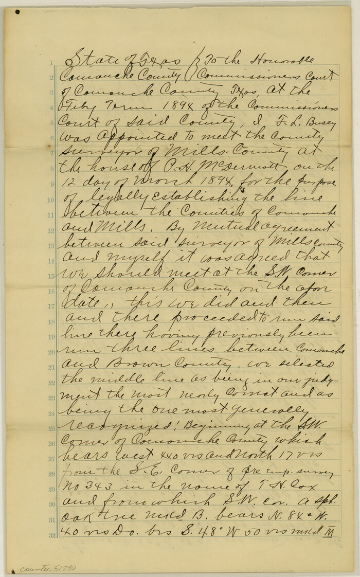

Print $12.00
- Digital $50.00
Comanche County Boundary File 2b
Size 14.3 x 8.9 inches
Map/Doc 51790
The Land Offices. No. 8, Mina, December 22, 1836
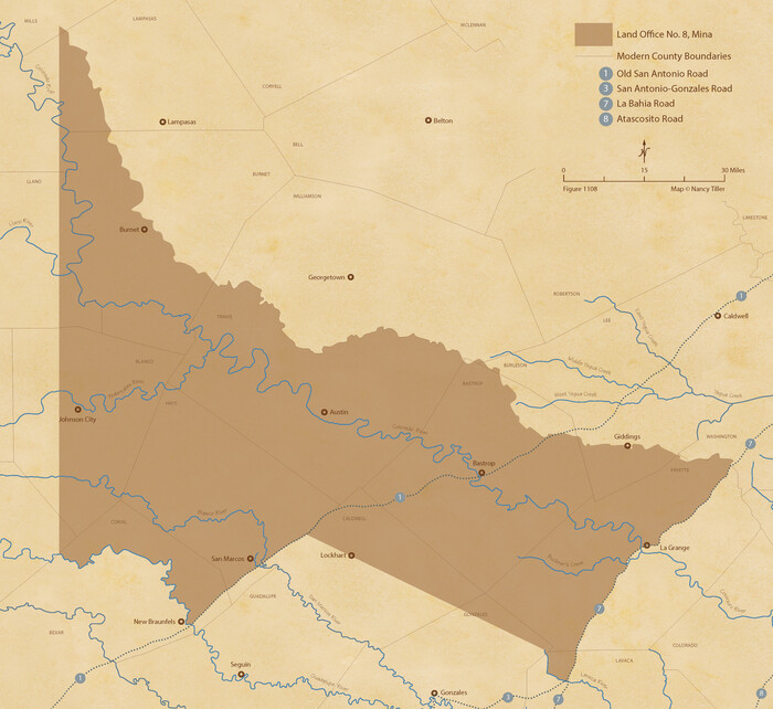

Print $20.00
The Land Offices. No. 8, Mina, December 22, 1836
2020
Size 19.9 x 21.7 inches
Map/Doc 96421
