[Leagues 7, 8, 9, and 10]
HO124
-
Map/Doc
92216
-
Collection
Twichell Survey Records
-
People and Organizations
Sylvan Sanders (Surveyor/Engineer)
-
Counties
Hockley
-
Height x Width
38.3 x 26.2 inches
97.3 x 66.6 cm
Part of: Twichell Survey Records
Map of the Scripture Addition to the City of Denton


Print $20.00
- Digital $50.00
Map of the Scripture Addition to the City of Denton
Size 31.5 x 27.8 inches
Map/Doc 90589
[North line of T. & P. Block 31, Township 6N]
![90554, [North line of T. & P. Block 31, Township 6N], Twichell Survey Records](https://historictexasmaps.com/wmedia_w700/maps/90554-1.tif.jpg)
![90554, [North line of T. & P. Block 31, Township 6N], Twichell Survey Records](https://historictexasmaps.com/wmedia_w700/maps/90554-1.tif.jpg)
Print $2.00
- Digital $50.00
[North line of T. & P. Block 31, Township 6N]
Size 7.5 x 4.7 inches
Map/Doc 90554
[Blocks M18, M23, I, Z, and 47]
![91234, [Blocks M18, M23, I, Z, and 47], Twichell Survey Records](https://historictexasmaps.com/wmedia_w700/maps/91234-1.tif.jpg)
![91234, [Blocks M18, M23, I, Z, and 47], Twichell Survey Records](https://historictexasmaps.com/wmedia_w700/maps/91234-1.tif.jpg)
Print $20.00
- Digital $50.00
[Blocks M18, M23, I, Z, and 47]
Size 20.2 x 23.4 inches
Map/Doc 91234
[I. & G. N. RR. Co. Block I]
![89828, [I. &G. N. RR. Co. Block I], Twichell Survey Records](https://historictexasmaps.com/wmedia_w700/maps/89828-1.tif.jpg)
![89828, [I. &G. N. RR. Co. Block I], Twichell Survey Records](https://historictexasmaps.com/wmedia_w700/maps/89828-1.tif.jpg)
Print $20.00
- Digital $50.00
[I. & G. N. RR. Co. Block I]
Size 43.0 x 31.7 inches
Map/Doc 89828
Map of the Amarillo Country Showing the Agricultural Land Tributary to Amarillo, Texas
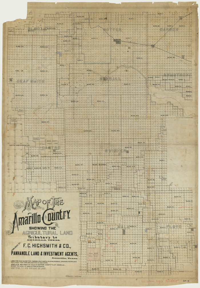

Print $40.00
- Digital $50.00
Map of the Amarillo Country Showing the Agricultural Land Tributary to Amarillo, Texas
1889
Size 55.7 x 38.7 inches
Map/Doc 89806
Blocks 2, 8, and 9. Capitol Syndicate Subdivision of Capitol Leagues or Portions of Capitol Leagues 59, 60, 61, 62, 63, 64, 65, 66, 69, 70, 71, 72, 73, 74, 75, 76, 83, 84, 85, 86, 87, 88, 89, 90, 91, 92, 108, 109, and 110. Dallam County, Texas
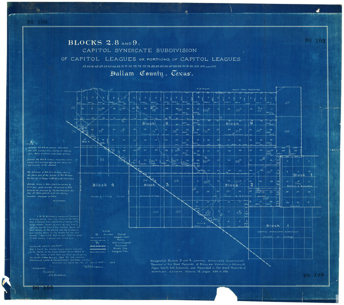

Print $20.00
- Digital $50.00
Blocks 2, 8, and 9. Capitol Syndicate Subdivision of Capitol Leagues or Portions of Capitol Leagues 59, 60, 61, 62, 63, 64, 65, 66, 69, 70, 71, 72, 73, 74, 75, 76, 83, 84, 85, 86, 87, 88, 89, 90, 91, 92, 108, 109, and 110. Dallam County, Texas
1906
Size 31.7 x 28.3 inches
Map/Doc 92581
[Nathaniel H. Cochran Survey and Vicinity]
![91495, [Nathaniel H. Cochran Survey and Vicinity], Twichell Survey Records](https://historictexasmaps.com/wmedia_w700/maps/91495-1.tif.jpg)
![91495, [Nathaniel H. Cochran Survey and Vicinity], Twichell Survey Records](https://historictexasmaps.com/wmedia_w700/maps/91495-1.tif.jpg)
Print $20.00
- Digital $50.00
[Nathaniel H. Cochran Survey and Vicinity]
Size 26.4 x 19.0 inches
Map/Doc 91495
[Texas Boundary Line]
![92077, [Texas Boundary Line], Twichell Survey Records](https://historictexasmaps.com/wmedia_w700/maps/92077-1.tif.jpg)
![92077, [Texas Boundary Line], Twichell Survey Records](https://historictexasmaps.com/wmedia_w700/maps/92077-1.tif.jpg)
Print $20.00
- Digital $50.00
[Texas Boundary Line]
Size 21.2 x 12.0 inches
Map/Doc 92077
Wortham & Williams' Subdivisions of the San Augustine County School Leagues situated in Lubbock Co., Texas
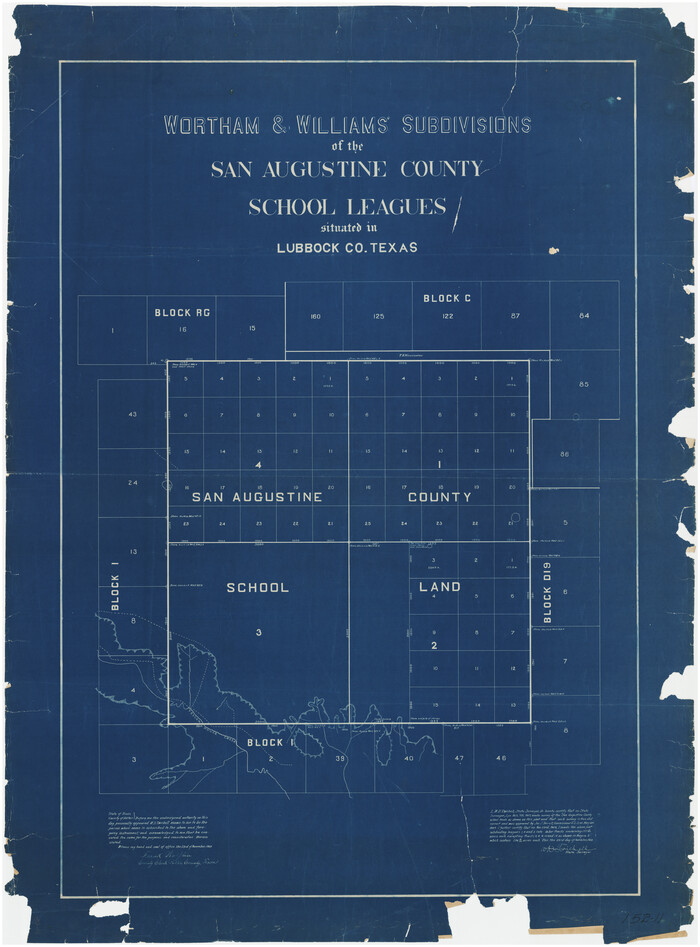

Print $40.00
- Digital $50.00
Wortham & Williams' Subdivisions of the San Augustine County School Leagues situated in Lubbock Co., Texas
1909
Size 38.7 x 52.1 inches
Map/Doc 89935
[Blocks H and C41]
![92623, [Blocks H and C41], Twichell Survey Records](https://historictexasmaps.com/wmedia_w700/maps/92623-1.tif.jpg)
![92623, [Blocks H and C41], Twichell Survey Records](https://historictexasmaps.com/wmedia_w700/maps/92623-1.tif.jpg)
Print $20.00
- Digital $50.00
[Blocks H and C41]
1951
Size 24.6 x 18.8 inches
Map/Doc 92623
[Northeast part of County]
![89957, [Northeast part of County], Twichell Survey Records](https://historictexasmaps.com/wmedia_w700/maps/89957-1.tif.jpg)
![89957, [Northeast part of County], Twichell Survey Records](https://historictexasmaps.com/wmedia_w700/maps/89957-1.tif.jpg)
Print $20.00
- Digital $50.00
[Northeast part of County]
Size 37.1 x 42.9 inches
Map/Doc 89957
[Sketch showing unsurveyed land in West Texas as of 1902]
![89937, [Sketch showing unsurveyed land in West Texas as of 1902], Twichell Survey Records](https://historictexasmaps.com/wmedia_w700/maps/89937-1.tif.jpg)
![89937, [Sketch showing unsurveyed land in West Texas as of 1902], Twichell Survey Records](https://historictexasmaps.com/wmedia_w700/maps/89937-1.tif.jpg)
Print $20.00
- Digital $50.00
[Sketch showing unsurveyed land in West Texas as of 1902]
Size 42.0 x 34.0 inches
Map/Doc 89937
You may also like
Duval County Rolled Sketch 41
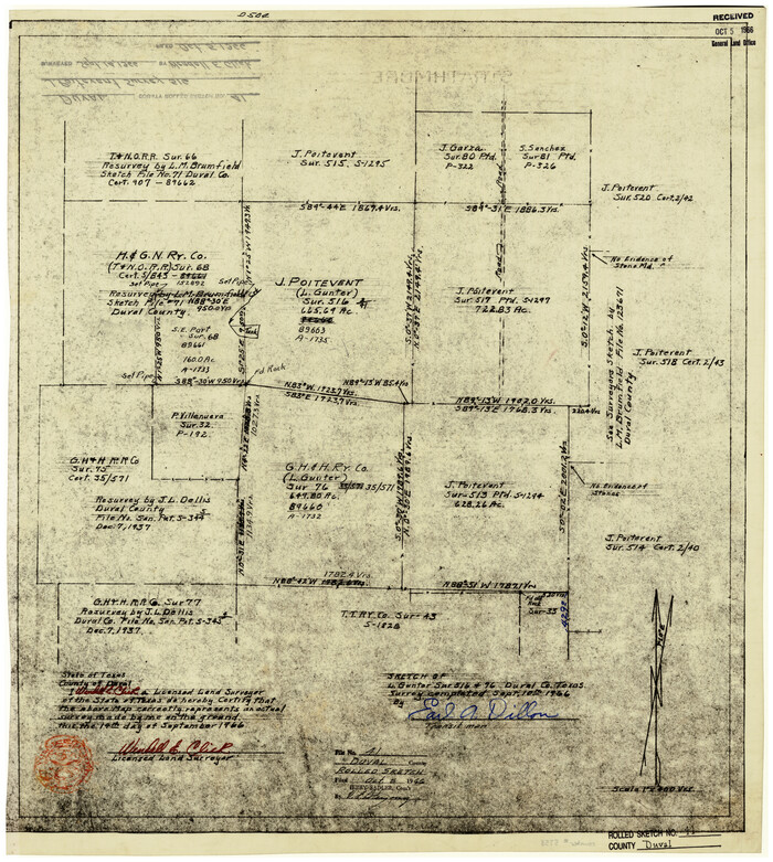

Print $20.00
- Digital $50.00
Duval County Rolled Sketch 41
1966
Size 23.3 x 21.1 inches
Map/Doc 5758
Nueces County Rolled Sketch 100
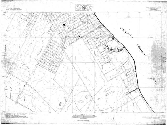

Print $20.00
- Digital $50.00
Nueces County Rolled Sketch 100
Size 30.6 x 40.7 inches
Map/Doc 10209
Flight Mission No. DIX-7P, Frame 93, Aransas County
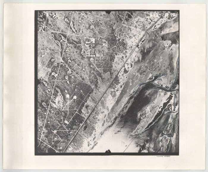

Print $20.00
- Digital $50.00
Flight Mission No. DIX-7P, Frame 93, Aransas County
1956
Size 18.6 x 22.6 inches
Map/Doc 83887
Flight Mission No. DQO-7K, Frame 99, Galveston County


Print $20.00
- Digital $50.00
Flight Mission No. DQO-7K, Frame 99, Galveston County
1952
Size 18.7 x 22.5 inches
Map/Doc 85114
Guadalupe County Working Sketch 4


Print $20.00
- Digital $50.00
Guadalupe County Working Sketch 4
1939
Size 17.7 x 10.8 inches
Map/Doc 63313
Hutchinson County Sketch File 15


Print $20.00
- Digital $50.00
Hutchinson County Sketch File 15
Size 20.7 x 26.7 inches
Map/Doc 11813
San Augustine County Working Sketch 22
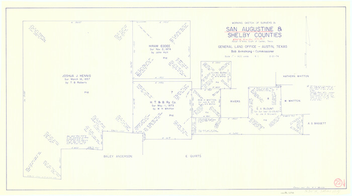

Print $20.00
- Digital $50.00
San Augustine County Working Sketch 22
1974
Size 16.1 x 29.0 inches
Map/Doc 63710
Cass County Working Sketch Graphic Index
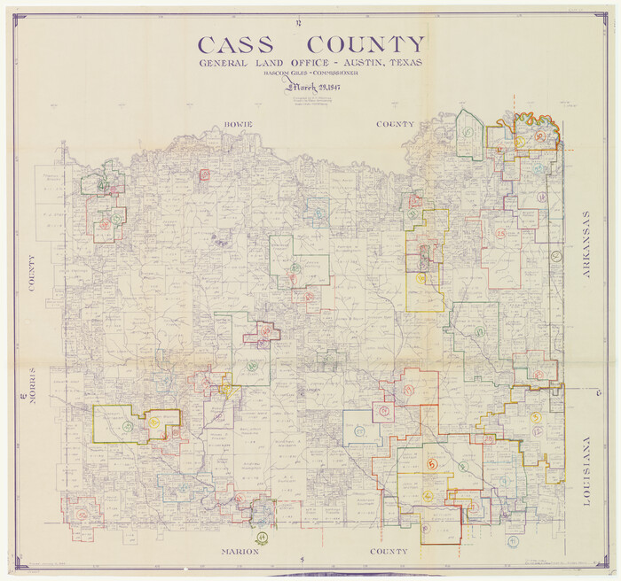

Print $20.00
- Digital $50.00
Cass County Working Sketch Graphic Index
1947
Size 39.1 x 41.9 inches
Map/Doc 76489
[Sketch of area around C. & M. RR. Co. survey 171]
![90214, [Sketch of area around C. & M. RR. Co. survey 171], Twichell Survey Records](https://historictexasmaps.com/wmedia_w700/maps/90214-1.tif.jpg)
![90214, [Sketch of area around C. & M. RR. Co. survey 171], Twichell Survey Records](https://historictexasmaps.com/wmedia_w700/maps/90214-1.tif.jpg)
Print $20.00
- Digital $50.00
[Sketch of area around C. & M. RR. Co. survey 171]
1924
Size 21.8 x 26.9 inches
Map/Doc 90214
Panola County Sketch File 11


Print $6.00
- Digital $50.00
Panola County Sketch File 11
1872
Size 10.3 x 13.2 inches
Map/Doc 33467
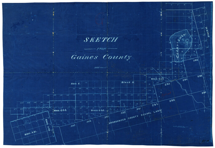
"G" Sketch from Gaines County

Print $20.00
- Digital $50.00
"G" Sketch from Gaines County
1902
Size 31.6 x 21.8 inches
Map/Doc 90845
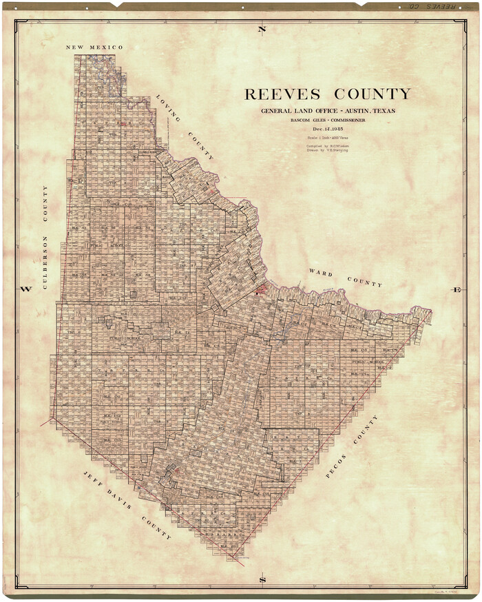
Reeves County

Print $40.00
- Digital $50.00
Reeves County
1945
Size 48.3 x 39.8 inches
Map/Doc 73273
![92216, [Leagues 7, 8, 9, and 10], Twichell Survey Records](https://historictexasmaps.com/wmedia_w1800h1800/maps/92216-1.tif.jpg)