Working Sketch in Dallam County [shows H. & T. C. Ry. Co. Block 47 1/2]
56-25
-
Map/Doc
90649
-
Collection
Twichell Survey Records
-
Object Dates
3/6/1906 (Creation Date)
-
Counties
Dallam
-
Height x Width
18.5 x 18.2 inches
47.0 x 46.2 cm
Part of: Twichell Survey Records
[Leagues 622, 621]
![92170, [Leagues 622, 621], Twichell Survey Records](https://historictexasmaps.com/wmedia_w700/maps/92170-1.tif.jpg)
![92170, [Leagues 622, 621], Twichell Survey Records](https://historictexasmaps.com/wmedia_w700/maps/92170-1.tif.jpg)
Print $20.00
- Digital $50.00
[Leagues 622, 621]
Size 24.2 x 19.8 inches
Map/Doc 92170
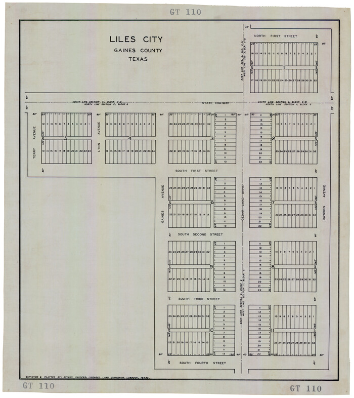
Liles City, Gaines County, Texas

Print $20.00
- Digital $50.00
Liles City, Gaines County, Texas
Size 21.5 x 23.9 inches
Map/Doc 92683
[Blks. Z, C4, 194, 178, C3, A2, 179 and 207]
![89837, [Blks. Z, C4, 194, 178, C3, A2, 179 and 207], Twichell Survey Records](https://historictexasmaps.com/wmedia_w700/maps/89837-1.tif.jpg)
![89837, [Blks. Z, C4, 194, 178, C3, A2, 179 and 207], Twichell Survey Records](https://historictexasmaps.com/wmedia_w700/maps/89837-1.tif.jpg)
Print $40.00
- Digital $50.00
[Blks. Z, C4, 194, 178, C3, A2, 179 and 207]
Size 61.6 x 37.5 inches
Map/Doc 89837
Dawson County Sketch [showing T. & P. Blocks 34 and 33, Township 5 N]
![90546, Dawson County Sketch [showing T. & P. Blocks 34 and 33, Township 5 N], Twichell Survey Records](https://historictexasmaps.com/wmedia_w700/maps/90546-1.tif.jpg)
![90546, Dawson County Sketch [showing T. & P. Blocks 34 and 33, Township 5 N], Twichell Survey Records](https://historictexasmaps.com/wmedia_w700/maps/90546-1.tif.jpg)
Print $2.00
- Digital $50.00
Dawson County Sketch [showing T. & P. Blocks 34 and 33, Township 5 N]
Size 12.6 x 7.0 inches
Map/Doc 90546
Ownership Map Midland Co., Texas


Ownership Map Midland Co., Texas
1951
Size 43.2 x 45.3 inches
Map/Doc 89914
[SE/4 of NW/4 of King Co.]
![89925, [SE/4 of NW/4 of King Co.], Twichell Survey Records](https://historictexasmaps.com/wmedia_w700/maps/89925-1.tif.jpg)
![89925, [SE/4 of NW/4 of King Co.], Twichell Survey Records](https://historictexasmaps.com/wmedia_w700/maps/89925-1.tif.jpg)
Print $40.00
- Digital $50.00
[SE/4 of NW/4 of King Co.]
Size 43.7 x 55.5 inches
Map/Doc 89925
[Hutchinson County Resurveys South of the Canadian River]
![91166, [Hutchinson County Resurveys South of the Canadian River], Twichell Survey Records](https://historictexasmaps.com/wmedia_w700/maps/91166-1.tif.jpg)
![91166, [Hutchinson County Resurveys South of the Canadian River], Twichell Survey Records](https://historictexasmaps.com/wmedia_w700/maps/91166-1.tif.jpg)
Print $20.00
- Digital $50.00
[Hutchinson County Resurveys South of the Canadian River]
1920
Size 33.3 x 21.1 inches
Map/Doc 91166
[North and West Line of Gray County, North Line of Wheeler County]
![89943, [North and West Line of Gray County, North Line of Wheeler County], Twichell Survey Records](https://historictexasmaps.com/wmedia_w700/maps/89943-1.tif.jpg)
![89943, [North and West Line of Gray County, North Line of Wheeler County], Twichell Survey Records](https://historictexasmaps.com/wmedia_w700/maps/89943-1.tif.jpg)
Print $40.00
- Digital $50.00
[North and West Line of Gray County, North Line of Wheeler County]
Size 43.4 x 71.6 inches
Map/Doc 89943
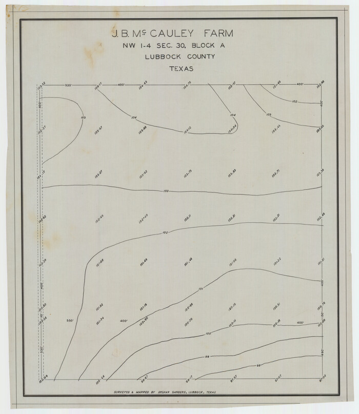
J. B. McCauley Farm NW Quarter Section 30, Block A

Print $20.00
- Digital $50.00
J. B. McCauley Farm NW Quarter Section 30, Block A
Size 16.4 x 18.8 inches
Map/Doc 92315
[University Lands Block 16 and Blocks 194, Z and part of 12]
![91618, [University Lands Block 16 and Blocks 194, Z and part of 12], Twichell Survey Records](https://historictexasmaps.com/wmedia_w700/maps/91618-1.tif.jpg)
![91618, [University Lands Block 16 and Blocks 194, Z and part of 12], Twichell Survey Records](https://historictexasmaps.com/wmedia_w700/maps/91618-1.tif.jpg)
Print $20.00
- Digital $50.00
[University Lands Block 16 and Blocks 194, Z and part of 12]
1911
Size 32.2 x 23.3 inches
Map/Doc 91618
'O Bar O' Ranch


Print $40.00
- Digital $50.00
'O Bar O' Ranch
1946
Size 47.8 x 82.6 inches
Map/Doc 93202
[Parts of Blocks Z, L, M-21, M-15, and 46]
![91831, [Parts of Blocks Z, L, M-21, M-15, and 46], Twichell Survey Records](https://historictexasmaps.com/wmedia_w700/maps/91831-1.tif.jpg)
![91831, [Parts of Blocks Z, L, M-21, M-15, and 46], Twichell Survey Records](https://historictexasmaps.com/wmedia_w700/maps/91831-1.tif.jpg)
Print $20.00
- Digital $50.00
[Parts of Blocks Z, L, M-21, M-15, and 46]
Size 21.2 x 16.7 inches
Map/Doc 91831
You may also like
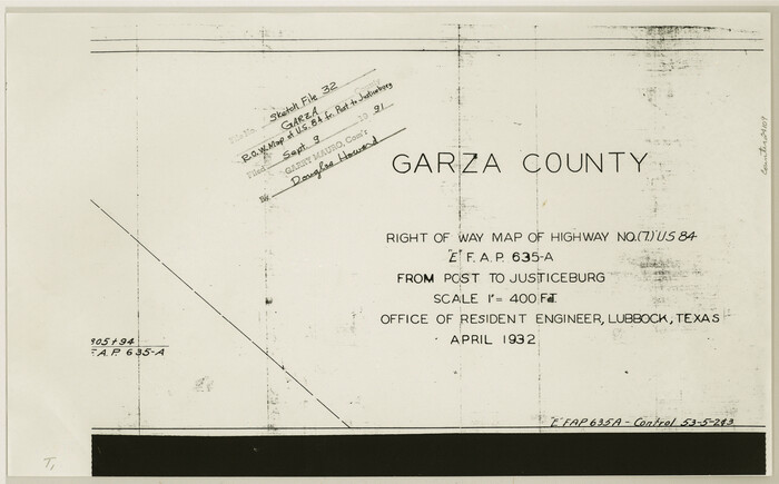
Garza County Sketch File 32

Print $28.00
- Digital $50.00
Garza County Sketch File 32
1932
Size 8.9 x 14.3 inches
Map/Doc 24109
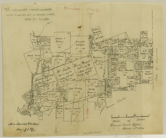
Harrison County Sketch File 17

Print $4.00
- Digital $50.00
Harrison County Sketch File 17
1874
Size 8.8 x 10.5 inches
Map/Doc 26059
Fisher County Working Sketch 18
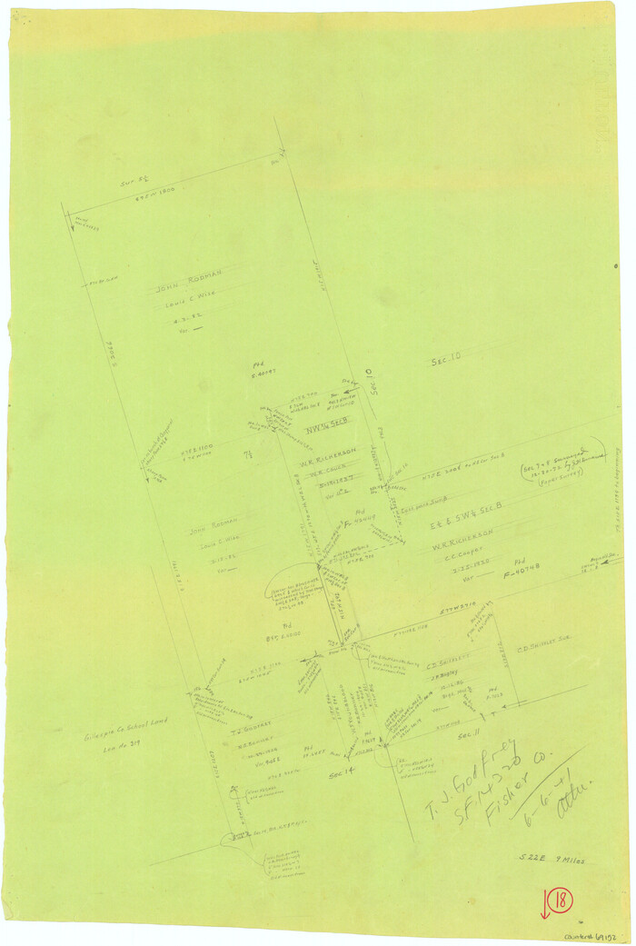

Print $20.00
- Digital $50.00
Fisher County Working Sketch 18
1941
Size 24.7 x 16.6 inches
Map/Doc 69152
Wilbarger County Aerial Photograph Index Sheet 2


Print $20.00
- Digital $50.00
Wilbarger County Aerial Photograph Index Sheet 2
1950
Size 22.4 x 17.5 inches
Map/Doc 83751
Swisher County
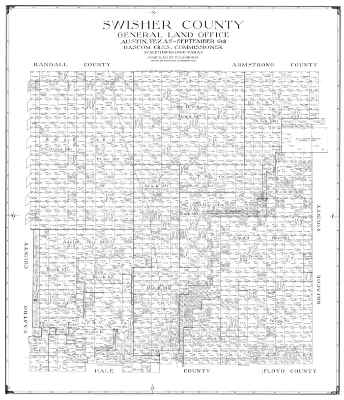

Print $20.00
- Digital $50.00
Swisher County
1941
Size 40.9 x 35.2 inches
Map/Doc 77430
Real County Working Sketch 83
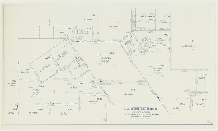

Print $20.00
- Digital $50.00
Real County Working Sketch 83
1986
Size 25.7 x 43.0 inches
Map/Doc 71975
Falls County Sketch File 13
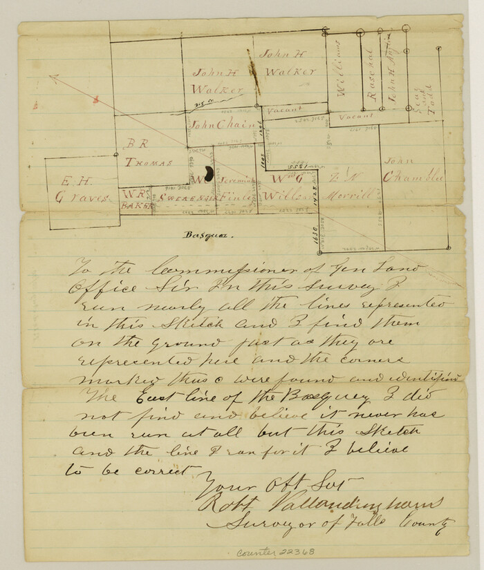

Print $4.00
- Digital $50.00
Falls County Sketch File 13
1870
Size 10.3 x 8.7 inches
Map/Doc 22368
[Nueces Bay, Mustang Island and Padre Island]
![73466, [Nueces Bay, Mustang Island and Padre Island], General Map Collection](https://historictexasmaps.com/wmedia_w700/maps/73466.tif.jpg)
![73466, [Nueces Bay, Mustang Island and Padre Island], General Map Collection](https://historictexasmaps.com/wmedia_w700/maps/73466.tif.jpg)
Print $4.00
- Digital $50.00
[Nueces Bay, Mustang Island and Padre Island]
Size 18.3 x 25.3 inches
Map/Doc 73466
Wichita County Sketch File 18
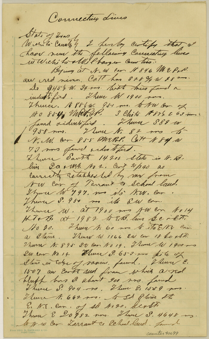

Print $6.00
- Digital $50.00
Wichita County Sketch File 18
1890
Size 14.0 x 8.6 inches
Map/Doc 40099
Harris County Rolled Sketch 42


Print $20.00
- Digital $50.00
Harris County Rolled Sketch 42
1919
Size 15.7 x 19.5 inches
Map/Doc 6100
San Patricio County Rolled Sketch 29C


Print $40.00
- Digital $50.00
San Patricio County Rolled Sketch 29C
Size 49.5 x 61.0 inches
Map/Doc 48872
![90649, Working Sketch in Dallam County [shows H. & T. C. Ry. Co. Block 47 1/2], Twichell Survey Records](https://historictexasmaps.com/wmedia_w1800h1800/maps/90649-1.tif.jpg)
