[Nueces Bay, Mustang Island and Padre Island]
C-7-23
-
Map/Doc
73466
-
Collection
General Map Collection
-
Counties
Nueces
-
Subjects
Nautical Charts
-
Height x Width
18.3 x 25.3 inches
46.5 x 64.3 cm
Part of: General Map Collection
Cottle County Working Sketch 22


Print $40.00
- Digital $50.00
Cottle County Working Sketch 22
1982
Size 44.0 x 75.0 inches
Map/Doc 68332
Wharton County Sketch File 17
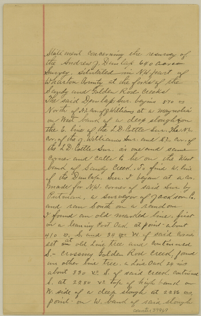

Print $12.00
- Digital $50.00
Wharton County Sketch File 17
1898
Size 12.8 x 8.1 inches
Map/Doc 39969
Flight Mission No. CRC-3R, Frame 52, Chambers County


Print $20.00
- Digital $50.00
Flight Mission No. CRC-3R, Frame 52, Chambers County
1956
Size 18.7 x 22.3 inches
Map/Doc 89041
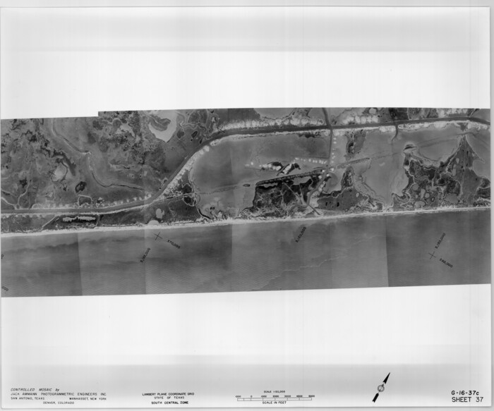
Controlled Mosaic by Jack Amman Photogrammetric Engineers, Inc - Sheet 37

Print $20.00
- Digital $50.00
Controlled Mosaic by Jack Amman Photogrammetric Engineers, Inc - Sheet 37
1954
Size 20.0 x 24.0 inches
Map/Doc 83492
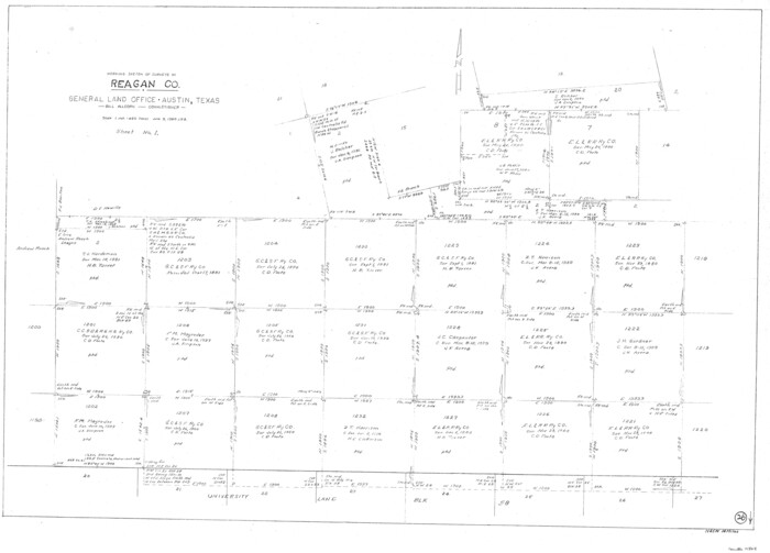
Reagan County Working Sketch 26

Print $20.00
- Digital $50.00
Reagan County Working Sketch 26
1960
Size 29.4 x 41.0 inches
Map/Doc 71868
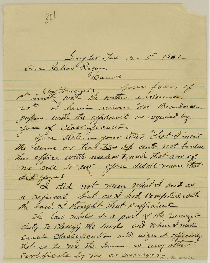
Garza County Sketch File 8

Print $8.00
- Digital $50.00
Garza County Sketch File 8
1900
Size 10.3 x 8.2 inches
Map/Doc 24062
Crosby County Boundary File 1


Print $20.00
- Digital $50.00
Crosby County Boundary File 1
Size 7.4 x 4.1 inches
Map/Doc 51971
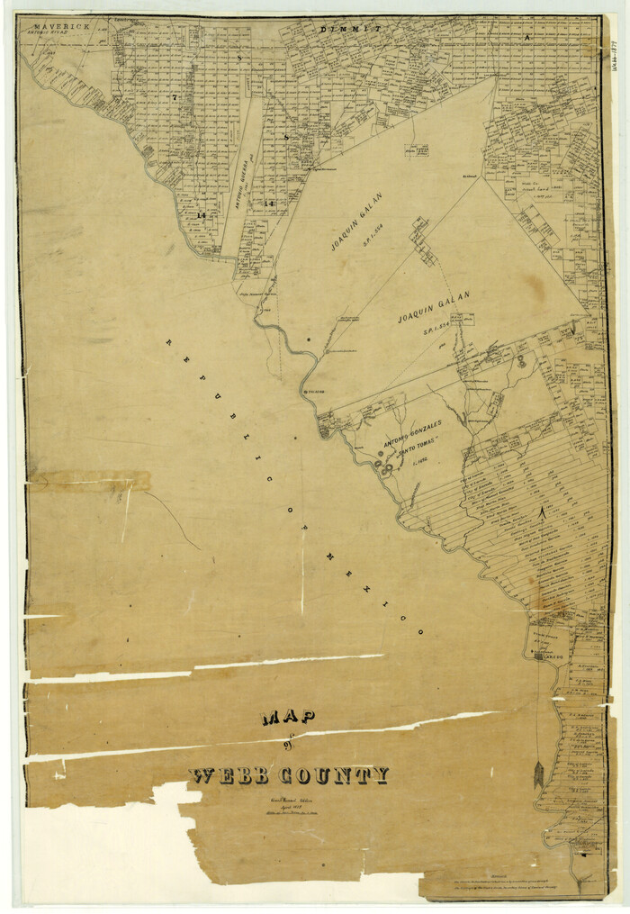
Map of Webb County

Print $20.00
- Digital $50.00
Map of Webb County
1879
Size 36.8 x 25.4 inches
Map/Doc 4131
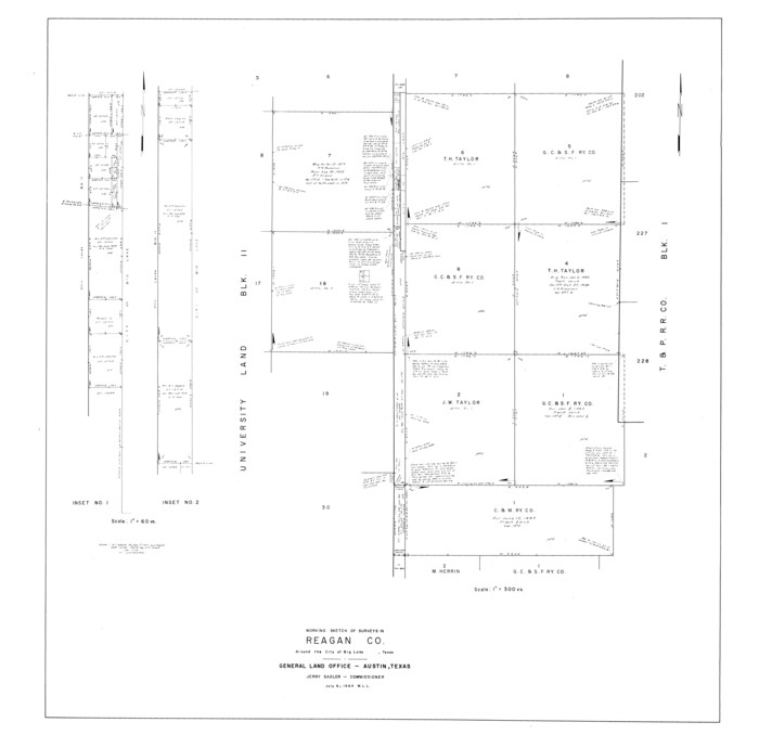
Reagan County Rolled Sketch 38

Print $20.00
- Digital $50.00
Reagan County Rolled Sketch 38
1964
Size 39.2 x 40.5 inches
Map/Doc 9830
Pecos County Working Sketch 112


Print $40.00
- Digital $50.00
Pecos County Working Sketch 112
Size 48.1 x 37.0 inches
Map/Doc 71585
Milam County Sketch File 3


Print $4.00
- Digital $50.00
Milam County Sketch File 3
1853
Size 12.9 x 8.1 inches
Map/Doc 31628
You may also like
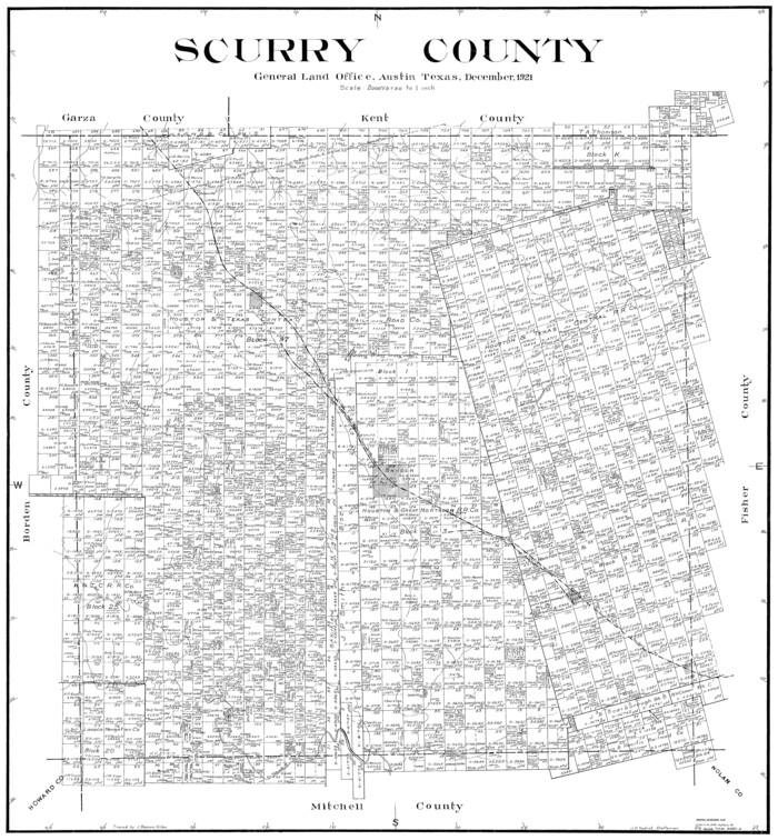
Scurry County

Print $20.00
- Digital $50.00
Scurry County
1921
Size 39.0 x 36.1 inches
Map/Doc 77419
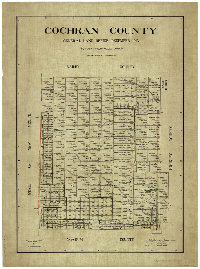
Cochran County

Print $20.00
- Digital $50.00
Cochran County
1913
Size 28.2 x 20.8 inches
Map/Doc 4911
Bell County Working Sketch 2


Print $20.00
- Digital $50.00
Bell County Working Sketch 2
1938
Size 25.8 x 28.8 inches
Map/Doc 67342
Midland County Rolled Sketch 12

Print $40.00
- Digital $50.00
Midland County Rolled Sketch 12
Size 97.0 x 42.6 inches
Map/Doc 9520
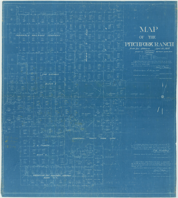
Map of the Pitchfork Ranch

Print $20.00
- Digital $50.00
Map of the Pitchfork Ranch
1915
Size 39.7 x 35.6 inches
Map/Doc 75827
Brewster County Sketch File NS-4b


Print $40.00
- Digital $50.00
Brewster County Sketch File NS-4b
Size 30.4 x 35.8 inches
Map/Doc 10988
Hamilton County Working Sketch 13

Print $40.00
- Digital $50.00
Hamilton County Working Sketch 13
1949
Size 43.5 x 57.0 inches
Map/Doc 63351
Terrell County Rolled Sketch 51A


Print $20.00
- Digital $50.00
Terrell County Rolled Sketch 51A
1957
Size 29.1 x 20.6 inches
Map/Doc 7968
Edwards County Working Sketch 2


Print $20.00
- Digital $50.00
Edwards County Working Sketch 2
Size 13.6 x 19.0 inches
Map/Doc 68878
[Part of Eastern Texas RR. Co. Block 1]
![91921, [Part of Eastern Texas RR. Co. Block 1], Twichell Survey Records](https://historictexasmaps.com/wmedia_w700/maps/91921-1.tif.jpg)
![91921, [Part of Eastern Texas RR. Co. Block 1], Twichell Survey Records](https://historictexasmaps.com/wmedia_w700/maps/91921-1.tif.jpg)
Print $20.00
- Digital $50.00
[Part of Eastern Texas RR. Co. Block 1]
Size 23.9 x 43.1 inches
Map/Doc 91921
[Surveys along Childress Creek in Bosque County]
![69759, [Surveys along Childress Creek in Bosque County], General Map Collection](https://historictexasmaps.com/wmedia_w700/maps/69759.tif.jpg)
![69759, [Surveys along Childress Creek in Bosque County], General Map Collection](https://historictexasmaps.com/wmedia_w700/maps/69759.tif.jpg)
Print $2.00
- Digital $50.00
[Surveys along Childress Creek in Bosque County]
1846
Size 11.6 x 8.5 inches
Map/Doc 69759
Roberts County Working Sketch 37
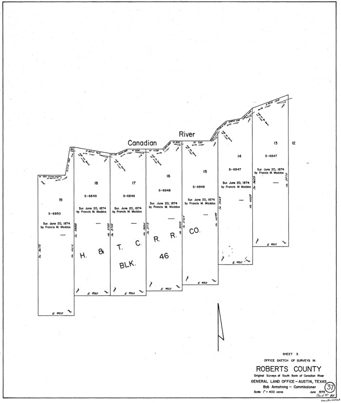

Print $20.00
- Digital $50.00
Roberts County Working Sketch 37
1978
Size 26.6 x 22.5 inches
Map/Doc 63563
![73466, [Nueces Bay, Mustang Island and Padre Island], General Map Collection](https://historictexasmaps.com/wmedia_w1800h1800/maps/73466.tif.jpg)
