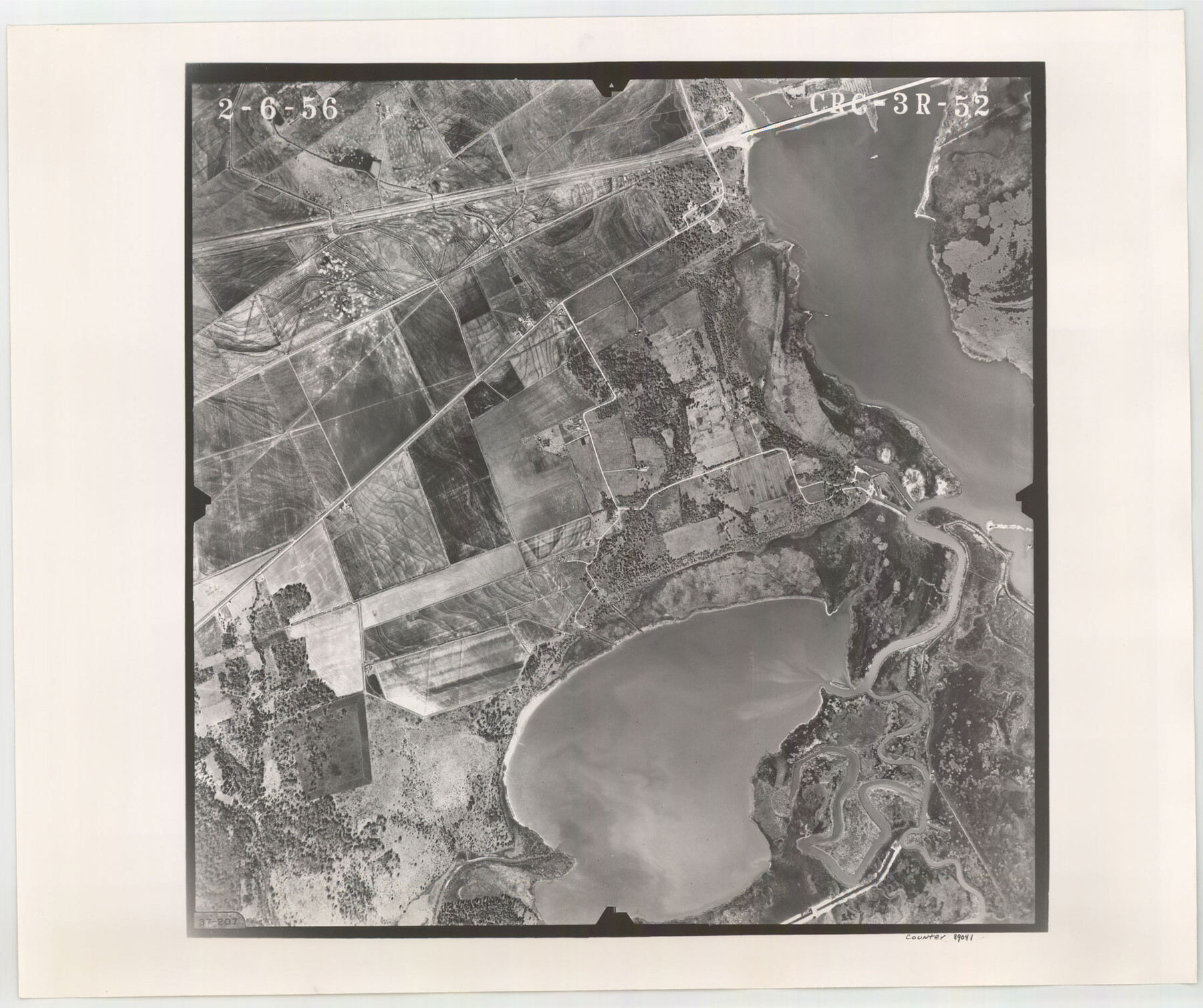
Flight Mission No. CRC-3R, Frame 52, Chambers County
CRC-3R-52
-
Map/Doc
89041
-
Collection
General Map Collection
-
Object Dates
1956/2/6 (Creation Date)
-
People and Organizations
U. S. Department of Agriculture (Publisher)
-
Counties
Chambers
-
Subjects
Aerial Photograph
-
Height x Width
18.7 x 22.3 inches
47.5 x 56.6 cm
-
Comments
Flown by Jack Ammann Photogrammetric Engineers, Inc. of San Antonio, Texas.
Part of: General Map Collection
Haskell County

Print $20.00
- Digital $50.00
Haskell County
1933
Size 45.8 x 39.4 inches
Map/Doc 1852
Encinal County

Print $20.00
- Digital $50.00
Encinal County
1886
Size 32.7 x 22.4 inches
Map/Doc 3515
Ochiltree County Boundary File 4

Print $4.00
- Digital $50.00
Ochiltree County Boundary File 4
Size 11.1 x 8.7 inches
Map/Doc 57682
Flight Mission No. BRA-8M, Frame 146, Jefferson County

Print $20.00
- Digital $50.00
Flight Mission No. BRA-8M, Frame 146, Jefferson County
1953
Size 16.0 x 16.1 inches
Map/Doc 85638
Walker County Working Sketch 17

Print $20.00
- Digital $50.00
Walker County Working Sketch 17
1982
Size 19.9 x 20.8 inches
Map/Doc 72297
Winkler County Working Sketch 1

Print $20.00
- Digital $50.00
Winkler County Working Sketch 1
1944
Size 17.5 x 38.9 inches
Map/Doc 72595
Edwards County Sketch File 9

Print $20.00
- Digital $50.00
Edwards County Sketch File 9
Size 16.9 x 37.8 inches
Map/Doc 10443
[Sketch of expeditions, trails in Jones, Taylor, Shackelford, Callahan, Buchanan/Stephens and Eastland Counties]
![65405, [Sketch of expeditions, trails in Jones, Taylor, Shackelford, Callahan, Buchanan/Stephens and Eastland Counties], General Map Collection](https://historictexasmaps.com/wmedia_w700/maps/65405.tif.jpg)
Print $4.00
- Digital $50.00
[Sketch of expeditions, trails in Jones, Taylor, Shackelford, Callahan, Buchanan/Stephens and Eastland Counties]
1873
Size 10.8 x 18.3 inches
Map/Doc 65405
Hutchinson County Rolled Sketch 43

Print $40.00
- Digital $50.00
Hutchinson County Rolled Sketch 43
1992
Size 40.4 x 49.4 inches
Map/Doc 6313
Shackelford County Rolled Sketch 3

Print $40.00
- Digital $50.00
Shackelford County Rolled Sketch 3
1955
Size 35.4 x 49.9 inches
Map/Doc 9915
Map of Collingsworth County

Print $20.00
- Digital $50.00
Map of Collingsworth County
1899
Size 42.8 x 38.5 inches
Map/Doc 4739
Armstrong County Rolled Sketch OS

Print $20.00
- Digital $50.00
Armstrong County Rolled Sketch OS
1902
Size 17.5 x 32.4 inches
Map/Doc 5086
You may also like
Cochran County Rolled Sketch 1

Print $40.00
- Digital $50.00
Cochran County Rolled Sketch 1
1938
Size 61.8 x 18.0 inches
Map/Doc 8606
The State of Texas

Print $20.00
- Digital $50.00
The State of Texas
1845
Size 18.9 x 23.2 inches
Map/Doc 93870
Pecos County Rolled Sketch 156

Print $40.00
- Digital $50.00
Pecos County Rolled Sketch 156
1938
Size 39.7 x 48.1 inches
Map/Doc 9738
Aransas County Rolled Sketch 24

Print $20.00
- Digital $50.00
Aransas County Rolled Sketch 24
Size 22.5 x 34.8 inches
Map/Doc 77495
Orange County Rolled Sketch 19

Print $20.00
- Digital $50.00
Orange County Rolled Sketch 19
1945
Size 16.2 x 24.7 inches
Map/Doc 7183
Cameron County Sketch File 8b

Print $145.00
- Digital $50.00
Cameron County Sketch File 8b
Size 14.0 x 8.5 inches
Map/Doc 17137
Wichita County Sketch File 8

Print $4.00
- Digital $50.00
Wichita County Sketch File 8
1860
Size 11.7 x 8.2 inches
Map/Doc 40048
Flight Mission No. DIX-5P, Frame 107, Aransas County

Print $20.00
- Digital $50.00
Flight Mission No. DIX-5P, Frame 107, Aransas County
1956
Size 17.6 x 17.8 inches
Map/Doc 83785

Childress County Sketch File 3

Print $30.00
- Digital $50.00
Childress County Sketch File 3
1885
Size 14.1 x 8.6 inches
Map/Doc 18245
Webb County Rolled Sketch 44

Print $20.00
- Digital $50.00
Webb County Rolled Sketch 44
1941
Size 23.9 x 20.1 inches
Map/Doc 8199
San Patricio County Sketch File 16

Print $4.00
San Patricio County Sketch File 16
1880
Size 12.9 x 8.0 inches
Map/Doc 36064