[Surveys on the San Marcos River]
Atlas E, Page 5, Sketch 10 (E-5-10)
E-5-10
-
Map/Doc
149
-
Collection
General Map Collection
-
Counties
Caldwell Gonzales
-
Subjects
Atlas
-
Height x Width
14.1 x 12.4 inches
35.8 x 31.5 cm
-
Medium
paper, manuscript
-
Scale
1:4000
-
Comments
Conserved in 2004.
-
Features
Plum Creek
Part of: General Map Collection
Hood County Sketch File 8


Print $4.00
- Digital $50.00
Hood County Sketch File 8
Size 7.8 x 8.0 inches
Map/Doc 26584
Glasscock County Sketch File 10

Print $6.00
- Digital $50.00
Glasscock County Sketch File 10
1935
Size 11.6 x 12.8 inches
Map/Doc 24172
Rusk County Working Sketch 22


Print $20.00
- Digital $50.00
Rusk County Working Sketch 22
1950
Size 22.5 x 12.8 inches
Map/Doc 63658
Navarro County Sketch File 13


Print $22.00
- Digital $50.00
Navarro County Sketch File 13
Size 12.0 x 8.6 inches
Map/Doc 32324
Jeff Davis County Rolled Sketch 13

Print $73.00
- Digital $50.00
Jeff Davis County Rolled Sketch 13
1921
Size 20.0 x 23.3 inches
Map/Doc 6366
Erath County Working Sketch 22


Print $20.00
- Digital $50.00
Erath County Working Sketch 22
1965
Size 29.8 x 36.8 inches
Map/Doc 69103
Flight Mission No. DCL-6C, Frame 114, Kenedy County
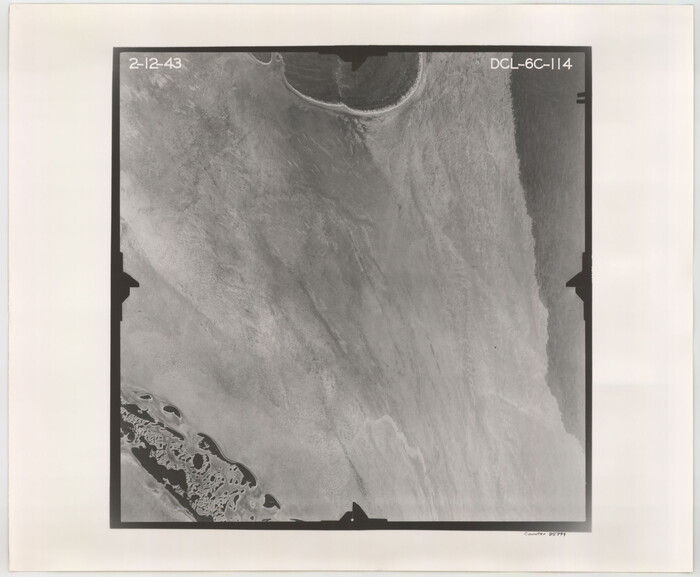

Print $20.00
- Digital $50.00
Flight Mission No. DCL-6C, Frame 114, Kenedy County
1943
Size 18.4 x 22.4 inches
Map/Doc 85944
Cameron County Aerial Photograph Index Sheet 7
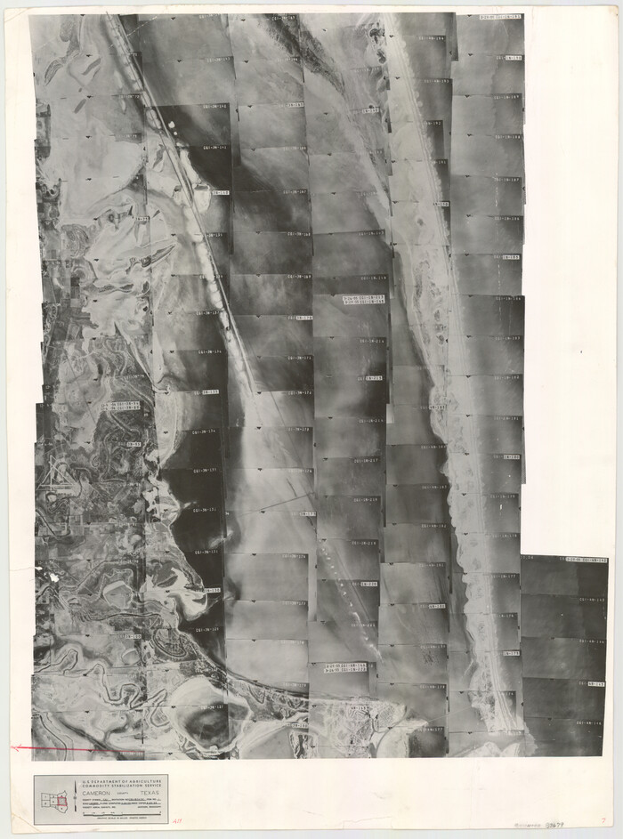

Print $20.00
- Digital $50.00
Cameron County Aerial Photograph Index Sheet 7
1955
Size 21.8 x 16.2 inches
Map/Doc 83679
Map of the Fair Grounds Addition showing subdivisions of Out-lots 39, 49, 50 & 60, Division "O" in the City of Austin
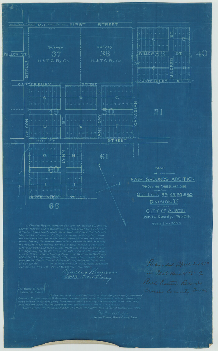

Print $20.00
- Digital $50.00
Map of the Fair Grounds Addition showing subdivisions of Out-lots 39, 49, 50 & 60, Division "O" in the City of Austin
1909
Size 21.4 x 13.3 inches
Map/Doc 2022
[Photostats of section of Hydrographic Surveys H-5399, H-4822 and H-470, Mouth of Trinity River]
![61154, [Photostats of section of Hydrographic Surveys H-5399, H-4822 and H-470, Mouth of Trinity River], General Map Collection](https://historictexasmaps.com/wmedia_w700/maps/61154.tif.jpg)
![61154, [Photostats of section of Hydrographic Surveys H-5399, H-4822 and H-470, Mouth of Trinity River], General Map Collection](https://historictexasmaps.com/wmedia_w700/maps/61154.tif.jpg)
Print $20.00
- Digital $50.00
[Photostats of section of Hydrographic Surveys H-5399, H-4822 and H-470, Mouth of Trinity River]
1933
Size 18.2 x 25.8 inches
Map/Doc 61154
Cherokee County Boundary File 3
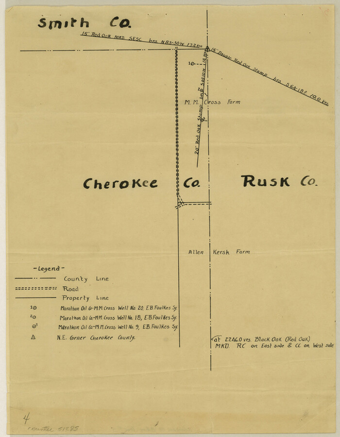

Print $34.00
- Digital $50.00
Cherokee County Boundary File 3
Size 11.2 x 8.8 inches
Map/Doc 51285
Western Waters of the Clear Fork of the Brazos River below Phantom-Hill
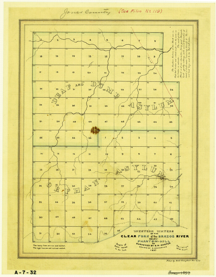

Print $20.00
- Digital $50.00
Western Waters of the Clear Fork of the Brazos River below Phantom-Hill
1857
Size 16.0 x 12.5 inches
Map/Doc 4664
You may also like
Jeff Davis County Rolled Sketch 8


Print $20.00
- Digital $50.00
Jeff Davis County Rolled Sketch 8
Size 40.0 x 41.6 inches
Map/Doc 9264
Gregg County Working Sketch 19


Print $20.00
- Digital $50.00
Gregg County Working Sketch 19
1957
Size 31.7 x 37.3 inches
Map/Doc 63286
Crockett County, Texas
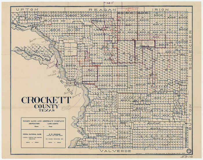

Print $20.00
- Digital $50.00
Crockett County, Texas
Size 24.7 x 19.5 inches
Map/Doc 90316
Stonewall County Working Sketch 14


Print $20.00
- Digital $50.00
Stonewall County Working Sketch 14
1951
Size 22.2 x 37.1 inches
Map/Doc 62321
Harris County Sketch File 11a

Print $6.00
- Digital $50.00
Harris County Sketch File 11a
Size 11.0 x 10.0 inches
Map/Doc 25351
Coleman County Working Sketch 11
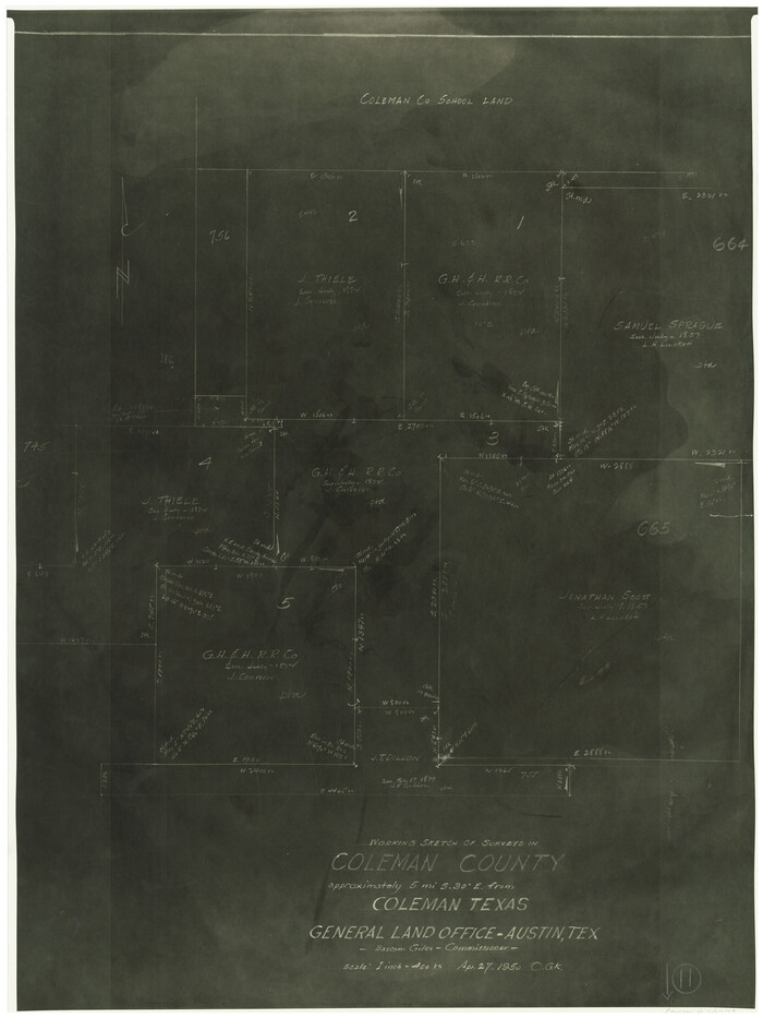

Print $20.00
- Digital $50.00
Coleman County Working Sketch 11
1950
Size 24.2 x 18.2 inches
Map/Doc 68077
United States - Gulf Coast Texas - Southern part of Laguna Madre
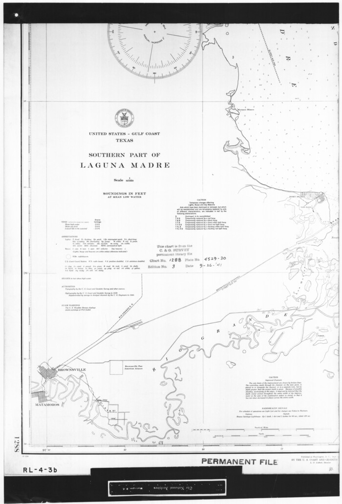

Print $20.00
- Digital $50.00
United States - Gulf Coast Texas - Southern part of Laguna Madre
1941
Size 27.0 x 18.3 inches
Map/Doc 72953
Williamson County Sketch File 16a
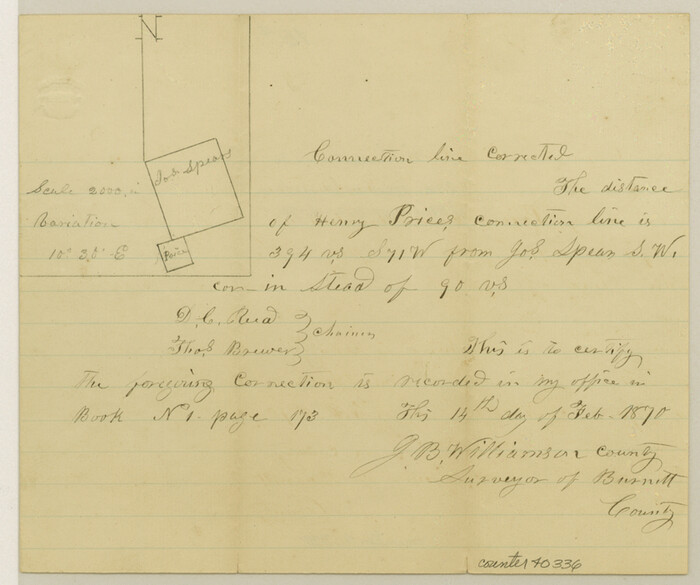

Print $4.00
- Digital $50.00
Williamson County Sketch File 16a
1870
Size 7.0 x 8.4 inches
Map/Doc 40336
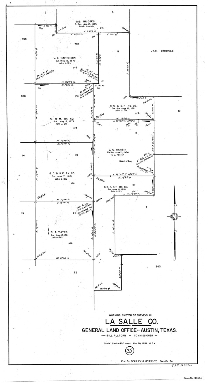
La Salle County Working Sketch 35

Print $20.00
- Digital $50.00
La Salle County Working Sketch 35
1958
Size 31.4 x 16.8 inches
Map/Doc 70336
Hutchinson County Working Sketch 17


Print $40.00
- Digital $50.00
Hutchinson County Working Sketch 17
1955
Size 47.2 x 128.6 inches
Map/Doc 66375
Brazoria County Sketch File 56


Print $109.00
- Digital $50.00
Brazoria County Sketch File 56
1986
Size 10.4 x 7.5 inches
Map/Doc 15327
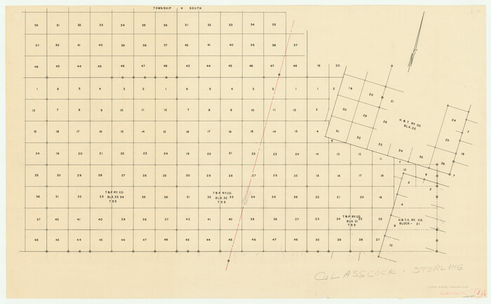
Glasscock County Working Sketch 1

Print $20.00
- Digital $50.00
Glasscock County Working Sketch 1
Size 26.6 x 43.0 inches
Map/Doc 63174
![149, [Surveys on the San Marcos River], General Map Collection](https://historictexasmaps.com/wmedia_w1800h1800/maps/149.tif.jpg)