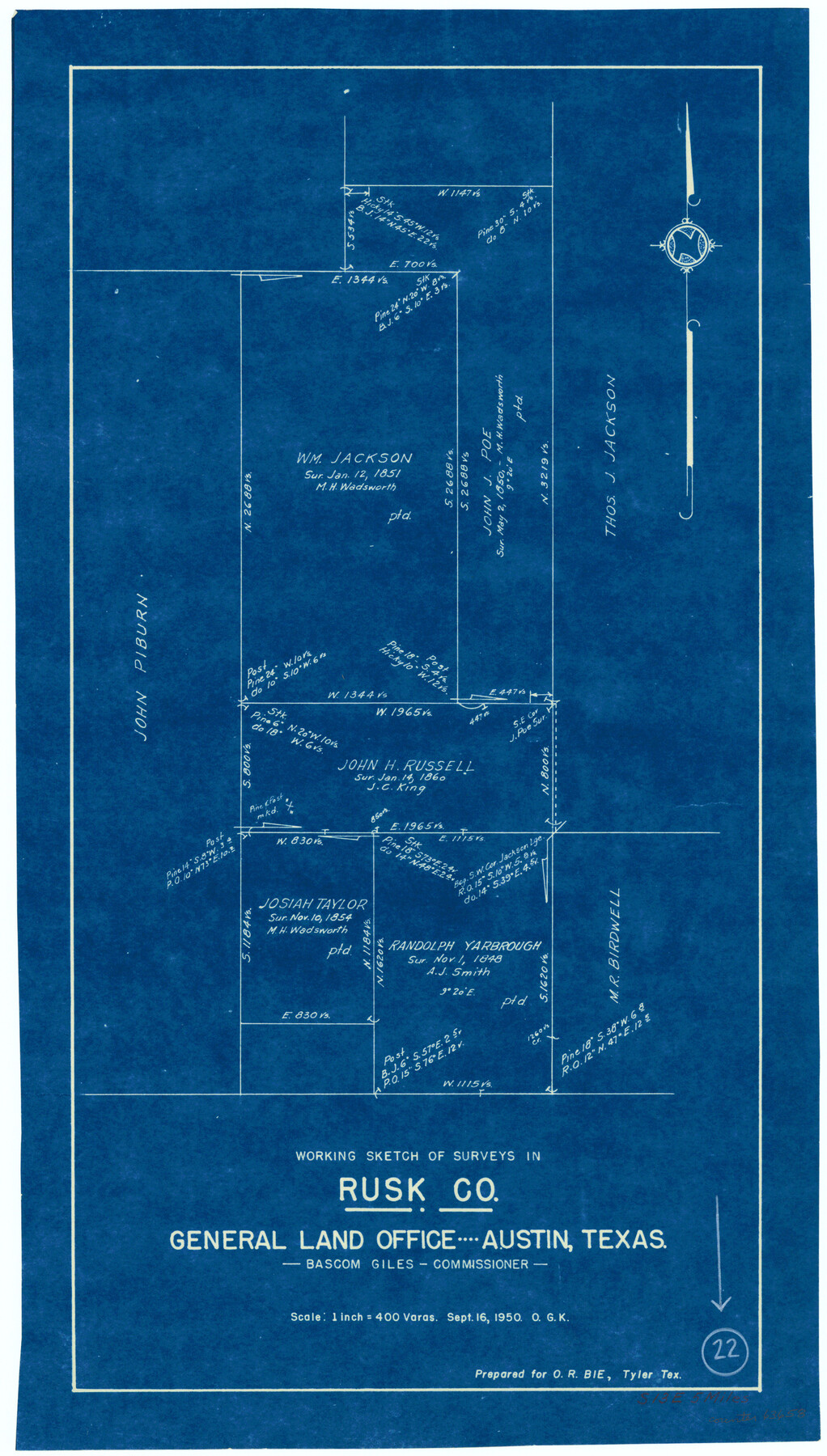
Rusk County Working Sketch 22
-
Map/Doc
63658
-
Collection
General Map Collection
-
Object Dates
9/16/1950 (Creation Date)
-
People and Organizations
Otto G. Kurio (Draftsman)
-
Counties
Rusk
-
Subjects
Surveying Working Sketch
-
Height x Width
22.5 x 12.8 inches
57.2 x 32.5 cm
-
Scale
1" = 400 varas
Part of: General Map Collection
Palo Pinto County

Print $20.00
- Digital $50.00
Palo Pinto County
1898
Size 44.8 x 38.0 inches
Map/Doc 66964
Duval County Rolled Sketch 38

Print $20.00
- Digital $50.00
Duval County Rolled Sketch 38
1937
Size 22.6 x 16.1 inches
Map/Doc 5755
Outer Continental Shelf Leasing Maps (Texas Offshore Operations)

Print $20.00
- Digital $50.00
Outer Continental Shelf Leasing Maps (Texas Offshore Operations)
1954
Size 11.6 x 12.3 inches
Map/Doc 75835
Newton County Sketch File 48

Print $4.00
- Digital $50.00
Newton County Sketch File 48
Size 12.4 x 7.9 inches
Map/Doc 32460
Childress County Rolled Sketch 3

Print $40.00
- Digital $50.00
Childress County Rolled Sketch 3
Size 21.1 x 57.0 inches
Map/Doc 8598
Archer County Sketch File 19

Print $40.00
- Digital $50.00
Archer County Sketch File 19
1902
Size 23.8 x 26.8 inches
Map/Doc 10829
Caldwell County Sketch File 1

Print $22.00
- Digital $50.00
Caldwell County Sketch File 1
Size 8.6 x 12.4 inches
Map/Doc 35825
Map of Main Line Houston & Tex. Centr. Railway from Dallas to Red River City

Print $40.00
- Digital $50.00
Map of Main Line Houston & Tex. Centr. Railway from Dallas to Red River City
Size 37.1 x 84.9 inches
Map/Doc 64089
Yoakum County Sketch File 14

Print $22.00
- Digital $50.00
Yoakum County Sketch File 14
1937
Size 14.5 x 14.6 inches
Map/Doc 40791

Map of the Lands belonging to the Texas Land & Cattle Co. situated in Wharton, Matagorda and Jackson Counties, Texas

Print $20.00
- Digital $50.00
Map of the Lands belonging to the Texas Land & Cattle Co. situated in Wharton, Matagorda and Jackson Counties, Texas
1904
Size 24.6 x 38.5 inches
Map/Doc 94020
Leon County Working Sketch 43

Print $40.00
- Digital $50.00
Leon County Working Sketch 43
1980
Size 55.1 x 38.0 inches
Map/Doc 70442
You may also like
Glasscock County, Texas

Print $20.00
- Digital $50.00
Glasscock County, Texas
1889
Size 21.7 x 18.1 inches
Map/Doc 730
Brewster County Working Sketch 23

Print $20.00
- Digital $50.00
Brewster County Working Sketch 23
1939
Size 26.7 x 43.6 inches
Map/Doc 67557
Robertson County Rolled Sketch 6

Print $20.00
- Digital $50.00
Robertson County Rolled Sketch 6
Size 22.8 x 15.6 inches
Map/Doc 7512
Crosby County Boundary File 1

Print $20.00
- Digital $50.00
Crosby County Boundary File 1
Size 7.4 x 4.1 inches
Map/Doc 51971
North Sulphur River, Ben Franklin Sheet

Print $40.00
- Digital $50.00
North Sulphur River, Ben Franklin Sheet
1928
Size 24.6 x 57.4 inches
Map/Doc 65172
Van Zandt County Sketch File 24

Print $4.00
- Digital $50.00
Van Zandt County Sketch File 24
1858
Size 6.7 x 7.9 inches
Map/Doc 39439
Winkler County Rolled Sketch 7

Print $20.00
- Digital $50.00
Winkler County Rolled Sketch 7
1929
Size 27.6 x 32.5 inches
Map/Doc 8273
Brewster County Rolled Sketch 93

Print $20.00
- Digital $50.00
Brewster County Rolled Sketch 93
1935
Size 24.1 x 43.1 inches
Map/Doc 5251
Flight Mission No. CRC-3R, Frame 28, Chambers County

Print $20.00
- Digital $50.00
Flight Mission No. CRC-3R, Frame 28, Chambers County
1956
Size 18.8 x 22.4 inches
Map/Doc 84803
Gulf Oil Corp. Fishgide - Port O'Connor

Gulf Oil Corp. Fishgide - Port O'Connor
1960
Size 12.0 x 22.0 inches
Map/Doc 75982
Calhoun County Rolled Sketch 30

Print $20.00
- Digital $50.00
Calhoun County Rolled Sketch 30
1974
Size 18.5 x 27.6 inches
Map/Doc 5490
Henderson County Working Sketch 25

Print $20.00
- Digital $50.00
Henderson County Working Sketch 25
1954
Size 42.0 x 31.2 inches
Map/Doc 66158