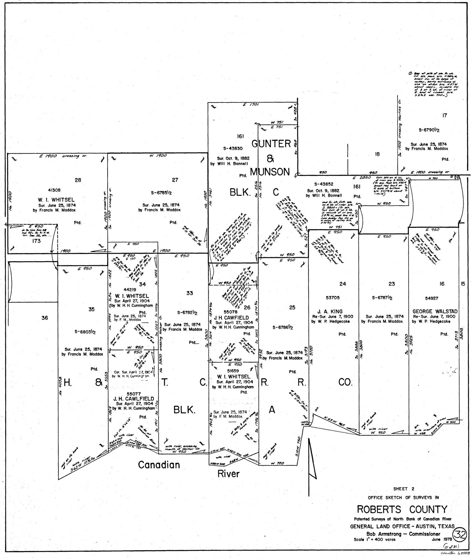
Roberts County Working Sketch 32
-
Map/Doc
63558
-
Collection
General Map Collection
-
Object Dates
6/1978 (Creation Date)
-
Counties
Roberts
-
Subjects
Surveying Working Sketch
-
Height x Width
26.6 x 22.5 inches
67.6 x 57.2 cm
-
Scale
1" = 400 varas
Part of: General Map Collection
Travis County Working Sketch 5

Print $20.00
- Digital $50.00
Travis County Working Sketch 5
1910
Size 28.3 x 20.7 inches
Map/Doc 69389
Menard County Boundary File 12a

Print $14.00
- Digital $50.00
Menard County Boundary File 12a
Size 14.2 x 8.8 inches
Map/Doc 57114
Hardin County Working Sketch 8

Print $20.00
- Digital $50.00
Hardin County Working Sketch 8
1926
Size 16.5 x 21.0 inches
Map/Doc 63406
Chambers County Sketch File 21

Print $20.00
- Digital $50.00
Chambers County Sketch File 21
Size 29.3 x 32.8 inches
Map/Doc 10331
Blanco County Sketch File 27

Print $6.00
- Digital $50.00
Blanco County Sketch File 27
1888
Size 14.1 x 11.2 inches
Map/Doc 14621
United States - Gulf Coast - Galveston to Rio Grande

Print $20.00
- Digital $50.00
United States - Gulf Coast - Galveston to Rio Grande
1940
Size 27.1 x 18.2 inches
Map/Doc 72758
Jefferson County Working Sketch 8

Print $20.00
- Digital $50.00
Jefferson County Working Sketch 8
1931
Size 34.9 x 18.2 inches
Map/Doc 66551
Chambers County NRC Article 33.136 Sketch 5

Print $22.00
- Digital $50.00
Chambers County NRC Article 33.136 Sketch 5
2003
Size 24.2 x 18.3 inches
Map/Doc 78608
Webb County Rolled Sketch 56

Print $20.00
- Digital $50.00
Webb County Rolled Sketch 56
1945
Size 22.2 x 23.7 inches
Map/Doc 8208
Jefferson County Sketch File 33

Print $32.00
- Digital $50.00
Jefferson County Sketch File 33
1934
Size 8.2 x 7.6 inches
Map/Doc 28197
Cherokee County Sketch File 27

Print $4.00
- Digital $50.00
Cherokee County Sketch File 27
1852
Size 8.3 x 8.2 inches
Map/Doc 18171
Pecos County Sketch File 27A

Print $20.00
- Digital $50.00
Pecos County Sketch File 27A
Size 26.7 x 19.8 inches
Map/Doc 12166
You may also like
Pecos County Sketch File 74

Print $8.00
- Digital $50.00
Pecos County Sketch File 74
1941
Size 14.1 x 8.8 inches
Map/Doc 33900
Wilbarger County Aerial Photograph Index Sheet 4

Print $20.00
- Digital $50.00
Wilbarger County Aerial Photograph Index Sheet 4
1950
Size 21.7 x 18.8 inches
Map/Doc 83753
San Saba County Sketch File 18

Print $12.00
- Digital $50.00
San Saba County Sketch File 18
1919
Size 11.4 x 8.8 inches
Map/Doc 36460
Harris County Rolled Sketch 76

Print $20.00
- Digital $50.00
Harris County Rolled Sketch 76
1951
Size 37.0 x 24.0 inches
Map/Doc 6113
Translation of Titles - Austin's First Colony, Vol. 2

Translation of Titles - Austin's First Colony, Vol. 2
1841
Map/Doc 94545
Flight Mission No. BRE-2P, Frame 15, Nueces County

Print $20.00
- Digital $50.00
Flight Mission No. BRE-2P, Frame 15, Nueces County
1956
Size 18.4 x 22.4 inches
Map/Doc 86724
Menard County Boundary File 8

Print $4.00
- Digital $50.00
Menard County Boundary File 8
Size 11.1 x 8.7 inches
Map/Doc 57092
The Republic County of Bastrop. January 25, 1840

Print $20.00
The Republic County of Bastrop. January 25, 1840
2020
Size 14.7 x 21.6 inches
Map/Doc 96091
The Cotton Kingdom: a Traveller's Observations on Cotton and Slavery in the American Slave States

The Cotton Kingdom: a Traveller's Observations on Cotton and Slavery in the American Slave States
Map/Doc 96571
Map of the River Sabine from Logan's Ferry to 32nd degree of North Latitude

Print $20.00
- Digital $50.00
Map of the River Sabine from Logan's Ferry to 32nd degree of North Latitude
Size 22.1 x 28.6 inches
Map/Doc 94002
Bandera County

Print $40.00
- Digital $50.00
Bandera County
1947
Size 33.7 x 54.2 inches
Map/Doc 77207
Dimmit County Working Sketch 19

Print $20.00
- Digital $50.00
Dimmit County Working Sketch 19
1948
Size 27.4 x 23.3 inches
Map/Doc 68680