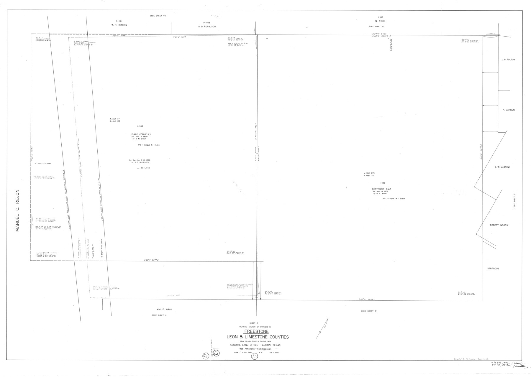
Freestone County Working Sketch 13
-
Map/Doc
69255
-
Collection
General Map Collection
-
Object Dates
2/1/1980 (Creation Date)
-
People and Organizations
Beverly Robison (Draftsman)
-
Counties
Freestone Leon Limestone
-
Subjects
Surveying Working Sketch
-
Height x Width
42.8 x 59.7 inches
108.7 x 151.6 cm
-
Scale
1" = 200 varas
Part of: General Map Collection
Brewster County Working Sketch 19

Print $20.00
- Digital $50.00
Brewster County Working Sketch 19
1935
Size 15.7 x 13.0 inches
Map/Doc 67551
Calhoun County Sketch File 20

Print $10.00
Calhoun County Sketch File 20
1839
Size 8.8 x 8.6 inches
Map/Doc 76865
Clay County Boundary File 16

Print $56.00
- Digital $50.00
Clay County Boundary File 16
Size 9.1 x 3.7 inches
Map/Doc 51422
Andrews County

Print $40.00
- Digital $50.00
Andrews County
1951
Size 43.0 x 54.4 inches
Map/Doc 77199

Flight Mission No. DCL-7C, Frame 55, Kenedy County

Print $20.00
- Digital $50.00
Flight Mission No. DCL-7C, Frame 55, Kenedy County
1943
Size 15.2 x 15.2 inches
Map/Doc 86043
Jones County Working Sketch 10

Print $20.00
- Digital $50.00
Jones County Working Sketch 10
1982
Size 19.3 x 34.3 inches
Map/Doc 66648
Brewster County Working Sketch 84

Print $20.00
- Digital $50.00
Brewster County Working Sketch 84
1973
Size 44.9 x 39.4 inches
Map/Doc 67684
Harris County Boundary File 39 (21)

Print $6.00
- Digital $50.00
Harris County Boundary File 39 (21)
Size 10.2 x 8.1 inches
Map/Doc 54365
Sterling County Rolled Sketch 15

Print $20.00
- Digital $50.00
Sterling County Rolled Sketch 15
Size 30.0 x 31.2 inches
Map/Doc 9947
Jones County Working Sketch 4

Print $20.00
- Digital $50.00
Jones County Working Sketch 4
1946
Size 35.5 x 20.6 inches
Map/Doc 66642
Flight Mission No. DAG-24K, Frame 36, Matagorda County

Print $20.00
- Digital $50.00
Flight Mission No. DAG-24K, Frame 36, Matagorda County
1953
Size 18.5 x 22.2 inches
Map/Doc 86523
You may also like
Dallas County Working Sketch 12

Print $20.00
- Digital $50.00
Dallas County Working Sketch 12
1983
Size 30.5 x 44.1 inches
Map/Doc 68578
Webb County Working Sketch 35

Print $40.00
- Digital $50.00
Webb County Working Sketch 35
1939
Size 54.5 x 36.2 inches
Map/Doc 72400
Harris County NRC Article 33.136 Sketch 5

Print $20.00
- Digital $50.00
Harris County NRC Article 33.136 Sketch 5
2002
Size 22.2 x 34.1 inches
Map/Doc 77047
Travis County Sketch File 46

Print $20.00
- Digital $50.00
Travis County Sketch File 46
1939
Size 21.0 x 21.2 inches
Map/Doc 12468
Little River, Buckholts Sheet

Print $4.00
- Digital $50.00
Little River, Buckholts Sheet
1936
Size 30.0 x 24.2 inches
Map/Doc 65065
Tom Green County Boundary File 7

Print $10.00
- Digital $50.00
Tom Green County Boundary File 7
Size 14.5 x 9.2 inches
Map/Doc 59388
Refugio County Sketch File 7

Print $4.00
- Digital $50.00
Refugio County Sketch File 7
1875
Size 12.1 x 7.6 inches
Map/Doc 35251
General Highway Map, Jasper County, Newton County, Texas

Print $20.00
General Highway Map, Jasper County, Newton County, Texas
1940
Size 18.6 x 25.2 inches
Map/Doc 79142
[Sketch for Mineral Application 24072, San Jacinto River]
![65606, [Sketch for Mineral Application 24072, San Jacinto River], General Map Collection](https://historictexasmaps.com/wmedia_w700/maps/65606.tif.jpg)
Print $20.00
- Digital $50.00
[Sketch for Mineral Application 24072, San Jacinto River]
1929
Size 23.2 x 17.8 inches
Map/Doc 65606
Travels to the source of the Missouri River and across the American Continent to the Pacific Ocean - Vol. 3

Travels to the source of the Missouri River and across the American Continent to the Pacific Ocean - Vol. 3
1815
Map/Doc 97414
[E. T. Ry. Blk. 1]
![89795, [E. T. Ry. Blk. 1], Twichell Survey Records](https://historictexasmaps.com/wmedia_w700/maps/89795-1.tif.jpg)
Print $40.00
- Digital $50.00
[E. T. Ry. Blk. 1]
Size 40.6 x 51.2 inches
Map/Doc 89795
Jefferson County NRC Article 33.136 Sketch 6

Print $4.00
- Digital $50.00
Jefferson County NRC Article 33.136 Sketch 6
2005
Size 14.1 x 8.6 inches
Map/Doc 83171