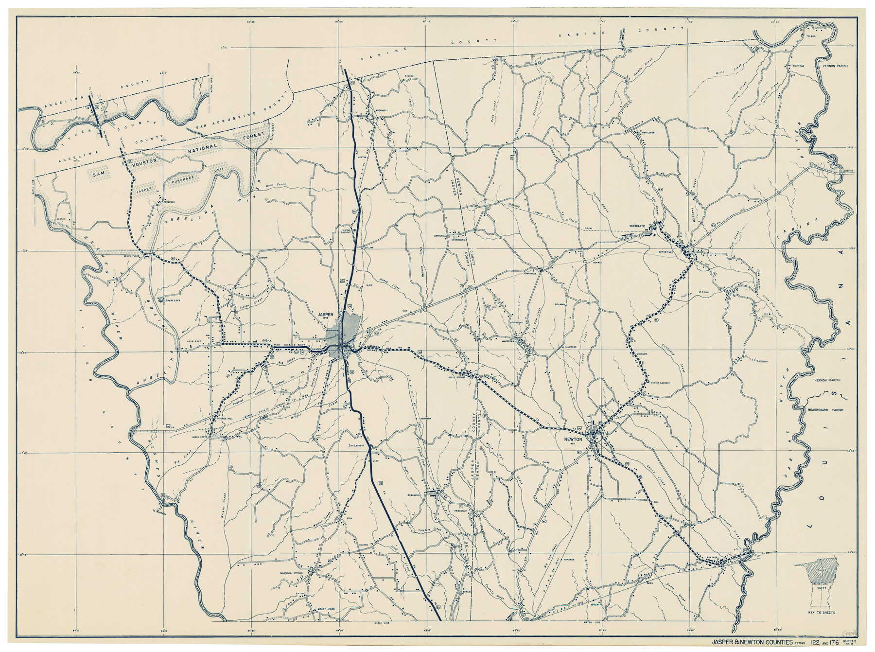
General Highway Map, Jasper County, Newton County, Texas
-
Map/Doc
79142
-
Collection
Texas State Library and Archives
-
Object Dates
1940 (Creation Date)
-
People and Organizations
Texas State Highway Department (Publisher)
-
Counties
Jasper Newton
-
Subjects
County
-
Height x Width
18.6 x 25.2 inches
47.2 x 64.0 cm
-
Comments
Prints available courtesy of the Texas State Library and Archives.
More info can be found here: TSLAC Map 04904
Part of: Texas State Library and Archives
Map of the Country Upon Upper Red River Explored in 1852

Print $20.00
Map of the Country Upon Upper Red River Explored in 1852
1852
Size 17.2 x 34.9 inches
Map/Doc 79726
General Highway Map, Ochiltree County, Texas

Print $20.00
General Highway Map, Ochiltree County, Texas
1961
Size 18.2 x 24.3 inches
Map/Doc 79618
General Highway Map. Detail of Cities and Towns in Travis County, Texas. City Map, Austin and vicinity, Travis County, Texas

Print $20.00
General Highway Map. Detail of Cities and Towns in Travis County, Texas. City Map, Austin and vicinity, Travis County, Texas
1961
Size 18.1 x 24.7 inches
Map/Doc 79687
General Highway Map, Starr County, Texas

Print $20.00
General Highway Map, Starr County, Texas
1940
Size 24.7 x 18.5 inches
Map/Doc 79245
General Highway Map, Henderson County, Texas

Print $20.00
General Highway Map, Henderson County, Texas
1939
Size 18.3 x 25.0 inches
Map/Doc 79125
Map of Bexar County Oil Fields

Print $40.00
Map of Bexar County Oil Fields
1919
Size 37.6 x 49.0 inches
Map/Doc 79307
J. De Cordova's Map of the State of Texas Compiled from the records of the General Land Office of the State

Print $20.00
J. De Cordova's Map of the State of Texas Compiled from the records of the General Land Office of the State
1872
Size 34.3 x 31.9 inches
Map/Doc 76216
General Highway Map. Detail of Cities and Towns in Dallas County, Texas [Dallas and vicinity]
![79431, General Highway Map. Detail of Cities and Towns in Dallas County, Texas [Dallas and vicinity], Texas State Library and Archives](https://historictexasmaps.com/wmedia_w700/maps/79431.tif.jpg)
Print $20.00
General Highway Map. Detail of Cities and Towns in Dallas County, Texas [Dallas and vicinity]
1961
Size 18.1 x 24.4 inches
Map/Doc 79431
General Highway Map, Martin County, Texas

Print $20.00
General Highway Map, Martin County, Texas
1961
Size 18.1 x 24.6 inches
Map/Doc 79583
General Highway Map, Taylor County, Texas

Print $20.00
General Highway Map, Taylor County, Texas
1940
Size 18.6 x 25.0 inches
Map/Doc 79254
Map of the United States of America with its territories and districts including also a part of upper and lower Canada and Mexico

Print $20.00
Map of the United States of America with its territories and districts including also a part of upper and lower Canada and Mexico
1835
Size 30.3 x 43.2 inches
Map/Doc 79728
General Highway Map, Liberty County, Texas

Print $20.00
General Highway Map, Liberty County, Texas
1940
Size 24.6 x 18.3 inches
Map/Doc 79173
You may also like
Presidio County Texas

Print $20.00
- Digital $50.00
Presidio County Texas
Size 22.6 x 17.8 inches
Map/Doc 3967
Current Miscellaneous File 67

Print $8.00
- Digital $50.00
Current Miscellaneous File 67
1957
Size 11.2 x 8.8 inches
Map/Doc 74130

Burnet County Sketch File 12

Print $4.00
- Digital $50.00
Burnet County Sketch File 12
1848
Size 12.6 x 7.5 inches
Map/Doc 16694
Crockett County Sketch File 96

Print $4.00
- Digital $50.00
Crockett County Sketch File 96
1934
Size 11.4 x 8.9 inches
Map/Doc 19964
General Highway Map, Kleberg County, Texas

Print $20.00
General Highway Map, Kleberg County, Texas
1961
Size 24.6 x 18.3 inches
Map/Doc 79559
Map of western Texas and northern Mexico from authentical surveys

Print $20.00
Map of western Texas and northern Mexico from authentical surveys
1869
Size 27.2 x 31.9 inches
Map/Doc 93577
Armstrong County

Print $20.00
- Digital $50.00
Armstrong County
1933
Size 39.3 x 39.4 inches
Map/Doc 77203
Cherokee County Sketch File 4

Print $7.00
- Digital $50.00
Cherokee County Sketch File 4
1850
Size 10.3 x 8.2 inches
Map/Doc 18117
Brazoria County Sketch File 42

Print $12.00
- Digital $50.00
Brazoria County Sketch File 42
1949
Size 14.7 x 9.0 inches
Map/Doc 15053
Wood County Boundary File 3

Print $10.00
- Digital $50.00
Wood County Boundary File 3
Size 12.4 x 8.5 inches
Map/Doc 60162
Kimble County Sketch File A1

Print $4.00
- Digital $50.00
Kimble County Sketch File A1
Size 8.8 x 13.4 inches
Map/Doc 28961