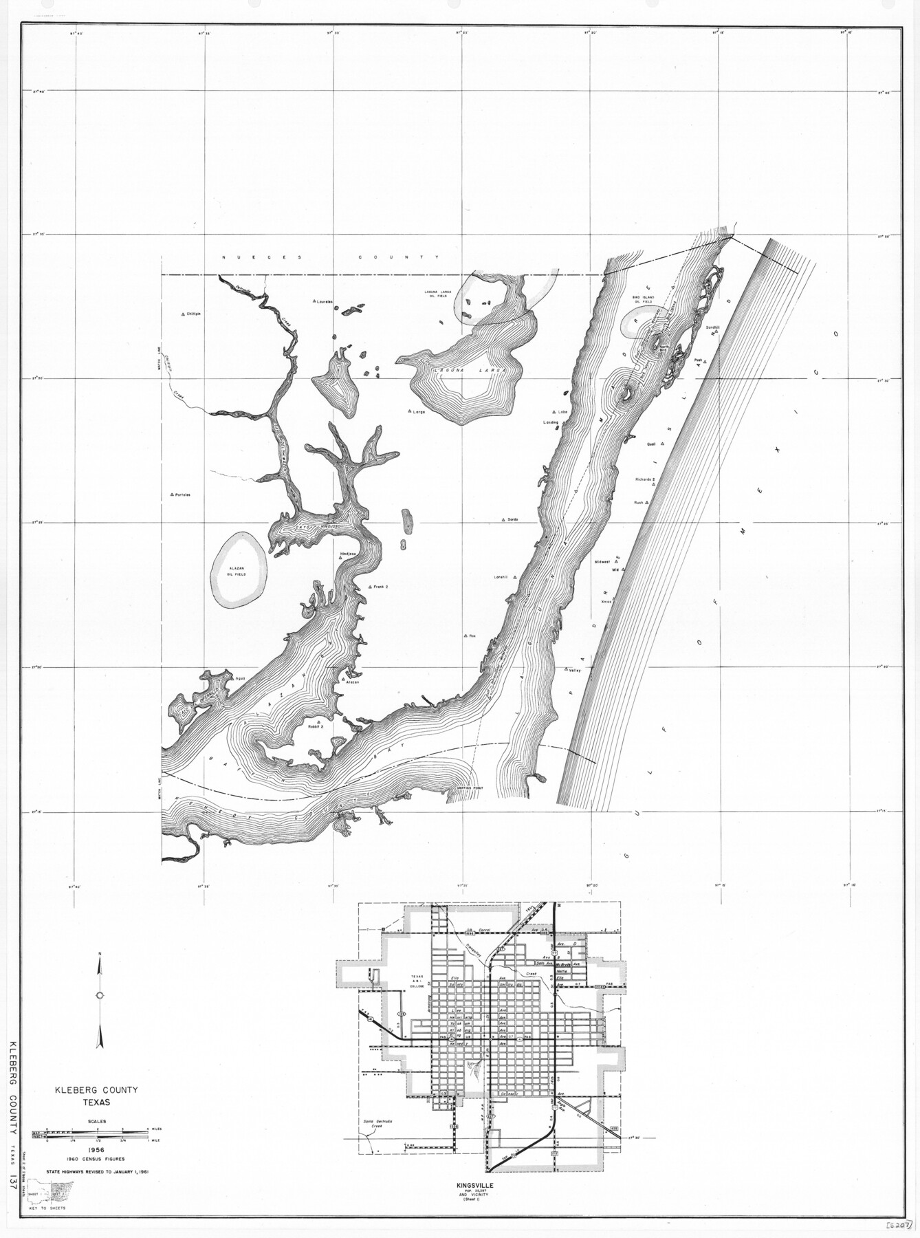
General Highway Map, Kleberg County, Texas
-
Map/Doc
79559
-
Collection
Texas State Library and Archives
-
Object Dates
1961 (Creation Date)
-
People and Organizations
Texas State Highway Department (Publisher)
-
Counties
Kleberg
-
Subjects
County
-
Height x Width
24.6 x 18.3 inches
62.5 x 46.5 cm
-
Comments
Prints available courtesy of the Texas State Library and Archives.
More info can be found here: TSLAC Map 05207
Part of: Texas State Library and Archives
General Highway Map. Detail of Cities and Towns in Jim Wells County, Texas. City Map of Alice, Jim Wells County, Texas

Print $20.00
General Highway Map. Detail of Cities and Towns in Jim Wells County, Texas. City Map of Alice, Jim Wells County, Texas
1961
Size 24.6 x 18.3 inches
Map/Doc 79544
General Highway Map, Nolan County, Texas

Print $20.00
General Highway Map, Nolan County, Texas
1940
Size 18.4 x 24.7 inches
Map/Doc 79208
General Highway Map, Jeff Davis County, Texas

Print $20.00
General Highway Map, Jeff Davis County, Texas
1940
Size 18.6 x 24.8 inches
Map/Doc 79143
General Highway Map, Crane County, Texas

Print $20.00
General Highway Map, Crane County, Texas
1961
Size 24.8 x 18.2 inches
Map/Doc 79424
General Highway Map, Crane County, Texas

Print $20.00
General Highway Map, Crane County, Texas
1940
Size 25.2 x 18.3 inches
Map/Doc 79061
General Highway Map, Crockett County, Texas

Print $20.00
General Highway Map, Crockett County, Texas
1940
Size 18.3 x 25.1 inches
Map/Doc 79062
General Highway Map. Detail of Cities and Towns in Dallas County, Texas [Dallas and vicinity]
![79431, General Highway Map. Detail of Cities and Towns in Dallas County, Texas [Dallas and vicinity], Texas State Library and Archives](https://historictexasmaps.com/wmedia_w700/maps/79431.tif.jpg)
Print $20.00
General Highway Map. Detail of Cities and Towns in Dallas County, Texas [Dallas and vicinity]
1961
Size 18.1 x 24.4 inches
Map/Doc 79431
General Highway Map, Hill County, Texas

Print $20.00
General Highway Map, Hill County, Texas
1940
Size 25.0 x 18.6 inches
Map/Doc 79129
Revised Map of Austin, Texas

Print $20.00
Revised Map of Austin, Texas
1885
Size 16.5 x 14.0 inches
Map/Doc 76272
General Highway Map, Ellis County, Texas

Print $20.00
General Highway Map, Ellis County, Texas
1939
Size 18.4 x 24.9 inches
Map/Doc 79083
General Highway Map, Cottle County, Texas

Print $20.00
General Highway Map, Cottle County, Texas
1940
Size 18.3 x 25.2 inches
Map/Doc 79060
Map of Mexico, Texas, Old and New California, and Yucatan

Print $20.00
Map of Mexico, Texas, Old and New California, and Yucatan
1847
Size 17.9 x 24.4 inches
Map/Doc 76191
You may also like
Map of Texas and part of New Mexico compiled in the Bureau of Topographl. Engrs. chiefly for military purposes

Print $20.00
- Digital $50.00
Map of Texas and part of New Mexico compiled in the Bureau of Topographl. Engrs. chiefly for military purposes
1857
Size 18.8 x 24.8 inches
Map/Doc 97116
Sutton County Sketch File 52

Print $6.00
- Digital $50.00
Sutton County Sketch File 52
1948
Size 11.2 x 8.8 inches
Map/Doc 37529
Texas City Channel, Texas, Channel and Turning Basin Dredging - Sheet 4

Print $20.00
- Digital $50.00
Texas City Channel, Texas, Channel and Turning Basin Dredging - Sheet 4
1958
Size 28.5 x 40.9 inches
Map/Doc 61834
Map of Archer County

Print $20.00
- Digital $50.00
Map of Archer County
1886
Size 24.4 x 20.5 inches
Map/Doc 3240
La Salle County Sketch File 28

Print $6.00
- Digital $50.00
La Salle County Sketch File 28
1882
Size 8.7 x 3.6 inches
Map/Doc 29555
Bosque County Working Sketch 12

Print $20.00
- Digital $50.00
Bosque County Working Sketch 12
1957
Size 18.3 x 21.8 inches
Map/Doc 67445
Galveston County Sketch File 55

Print $20.00
- Digital $50.00
Galveston County Sketch File 55
1839
Size 5.2 x 3.7 inches
Map/Doc 23591
Duval County Sketch File 84

Print $6.00
- Digital $50.00
Duval County Sketch File 84
1945
Size 14.4 x 8.9 inches
Map/Doc 21531
Photo Index of Texas Coast - Sheet 5 of 6

Print $20.00
- Digital $50.00
Photo Index of Texas Coast - Sheet 5 of 6
1954
Size 20.0 x 24.0 inches
Map/Doc 83443
[Surveying Sketch of Northern Portion of Hutchinson County]
![5065, [Surveying Sketch of Northern Portion of Hutchinson County], Maddox Collection](https://historictexasmaps.com/wmedia_w700/maps/5065.tif.jpg)
Print $20.00
- Digital $50.00
[Surveying Sketch of Northern Portion of Hutchinson County]
1890
Size 26.5 x 42.5 inches
Map/Doc 5065
Houston Ship Channel, Alexander Island to Carpenter Bayou

Print $20.00
- Digital $50.00
Houston Ship Channel, Alexander Island to Carpenter Bayou
1971
Size 34.9 x 46.0 inches
Map/Doc 69908
Sketch Showing Township 5 North, T. & P. RR. Surveys, Borden and Dawson Counties, Texas

Print $20.00
- Digital $50.00
Sketch Showing Township 5 North, T. & P. RR. Surveys, Borden and Dawson Counties, Texas
Size 24.7 x 36.0 inches
Map/Doc 90636