339 results

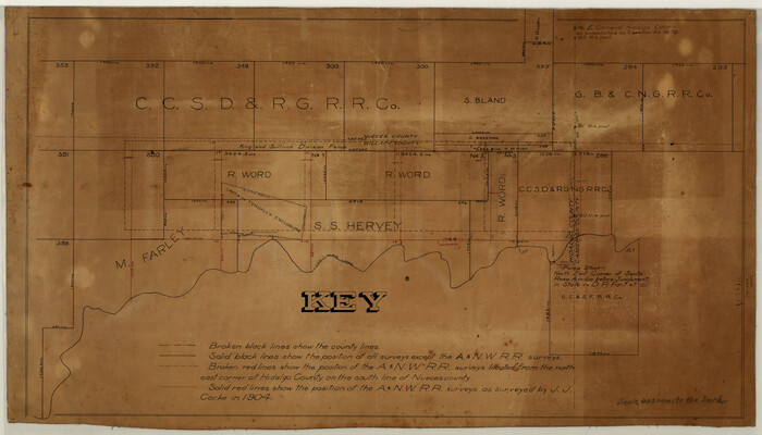
[Surveying Sketch of M. Farley, R. Word, S. S. Hervey, et al in Kleberg County, Texas]
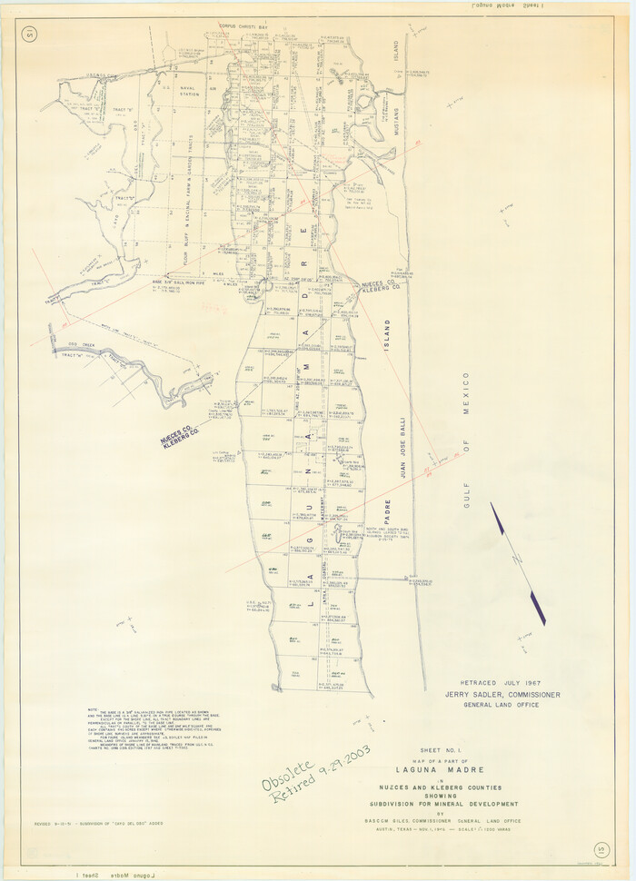
10783.tif
Print $20.00 - Digital $50.00

[Surveying Sketch of M. Farley, R. Word, S. S. Hervey, et al in Kleberg County, Texas]

Size: 23.2 x 40.6 inches
10783
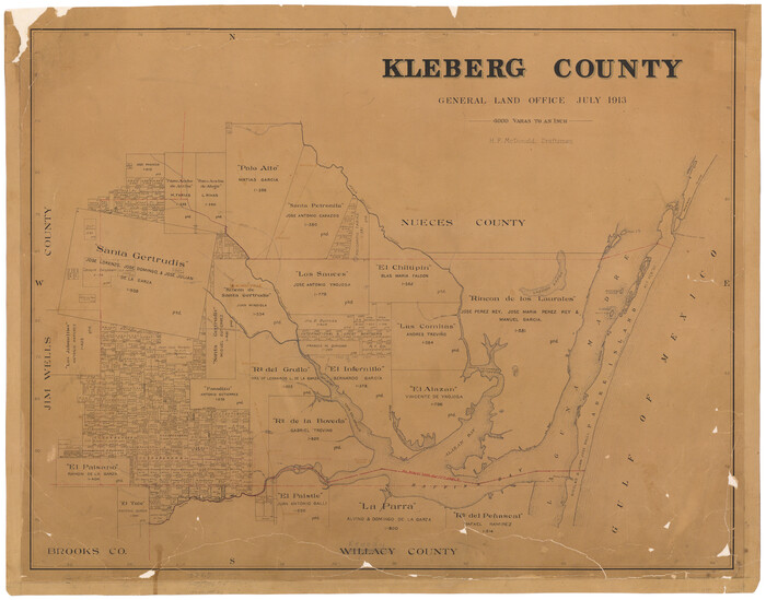
Kleberg County
1878.tif
Print $20.00 - Digital $50.00

Kleberg County

1913

Size: 25.6 x 32.8 inches
1878
Part of Laguna Madre in Nueces and Kleberg Counties, showing Subdivision for Mineral Development
1921.tif
Print $20.00 - Digital $50.00

Part of Laguna Madre in Nueces and Kleberg Counties, showing Subdivision for Mineral Development

1948

Size: 42.0 x 30.3 inches
1921
Part of Laguna Madre in Nueces and Kleberg Counties, showing Subdivision for Mineral Development
1922.tif
Print $20.00 - Digital $50.00

Part of Laguna Madre in Nueces and Kleberg Counties, showing Subdivision for Mineral Development

1948

Size: 36.9 x 26.6 inches
1922
Baffin and Alazan Bays, Cayo Infiernillo in Kenedy and Kleberg Counties, showing Subdivision for Mineral Development
1923.tif
Print $40.00 - Digital $50.00

Baffin and Alazan Bays, Cayo Infiernillo in Kenedy and Kleberg Counties, showing Subdivision for Mineral Development

1949

Size: 33.0 x 52.4 inches
1923
Texas Gulf Coast, from the Sabine River to the Rio Grande as Subdivided for Mineral Development; Aransas, Nueces, Kleberg, Kenedy, Willacy, and Cameron Counties
1940.tif
Print $40.00 - Digital $50.00

Texas Gulf Coast, from the Sabine River to the Rio Grande as Subdivided for Mineral Development; Aransas, Nueces, Kleberg, Kenedy, Willacy, and Cameron Counties

1976

Size: 118.0 x 43.0 inches
1940
Map of sections 1 & 2 of a survey of Padre Island made for the Office of the Attorney General of the State of Texas
2258.tif
Print $20.00 - Digital $50.00

Map of sections 1 & 2 of a survey of Padre Island made for the Office of the Attorney General of the State of Texas

1941

Size: 40.8 x 39.8 inches
2258
Map of section no. 3 of a survey of Padre Island made for the Office of the Attorney General of the State of Texas
2259.tif
Print $40.00 - Digital $50.00

Map of section no. 3 of a survey of Padre Island made for the Office of the Attorney General of the State of Texas

1941

Size: 49.6 x 40.2 inches
2259
Map of section no. 4 of a survey of Padre Island made for the Office of the Attorney General of the State of Texas
2260.tif
Print $40.00 - Digital $50.00

Map of section no. 4 of a survey of Padre Island made for the Office of the Attorney General of the State of Texas

1941
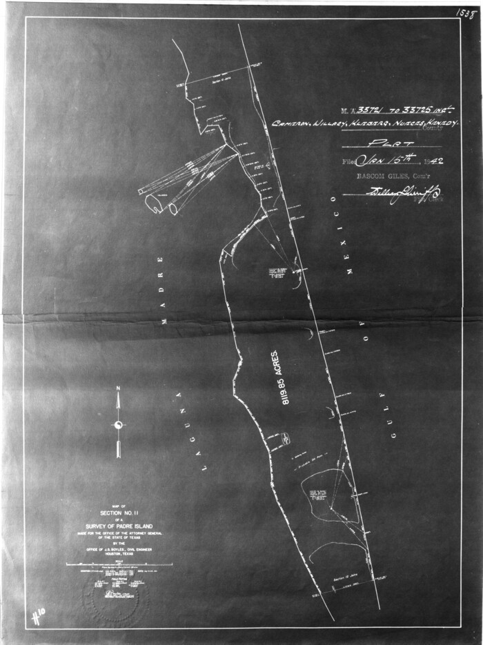
Size: 82.6 x 40.8 inches
2260
[Sketch for Mineral Application 33721 - 33725 Incl. - Padre and Mustang Island]
2868.tif
Print $20.00 - Digital $50.00

[Sketch for Mineral Application 33721 - 33725 Incl. - Padre and Mustang Island]

1942
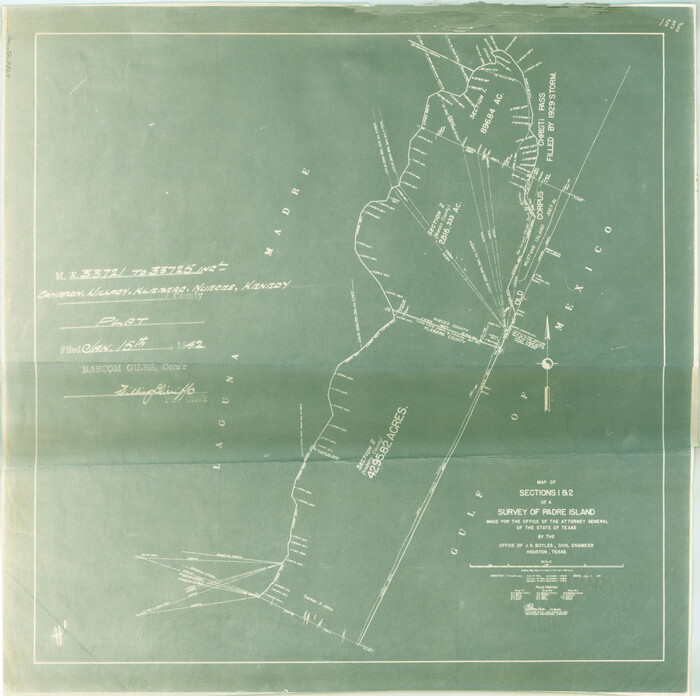
Size: 29.7 x 22.3 inches
2868
[Sketch for Mineral Application 33721 - 33725 Incl. - Padre and Mustang Island]
2869.tif
Print $20.00 - Digital $50.00

[Sketch for Mineral Application 33721 - 33725 Incl. - Padre and Mustang Island]

1942
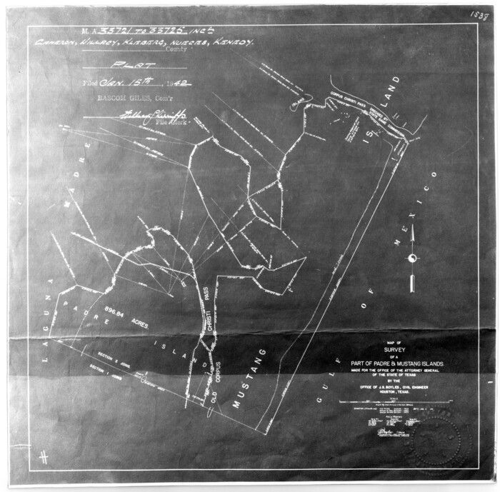
Size: 22.2 x 22.3 inches
2869
[Sketch for Mineral Application 33721 - 33725 Incl. - Padre and Mustang Island]
2870.tif
Print $20.00 - Digital $50.00

[Sketch for Mineral Application 33721 - 33725 Incl. - Padre and Mustang Island]

1942
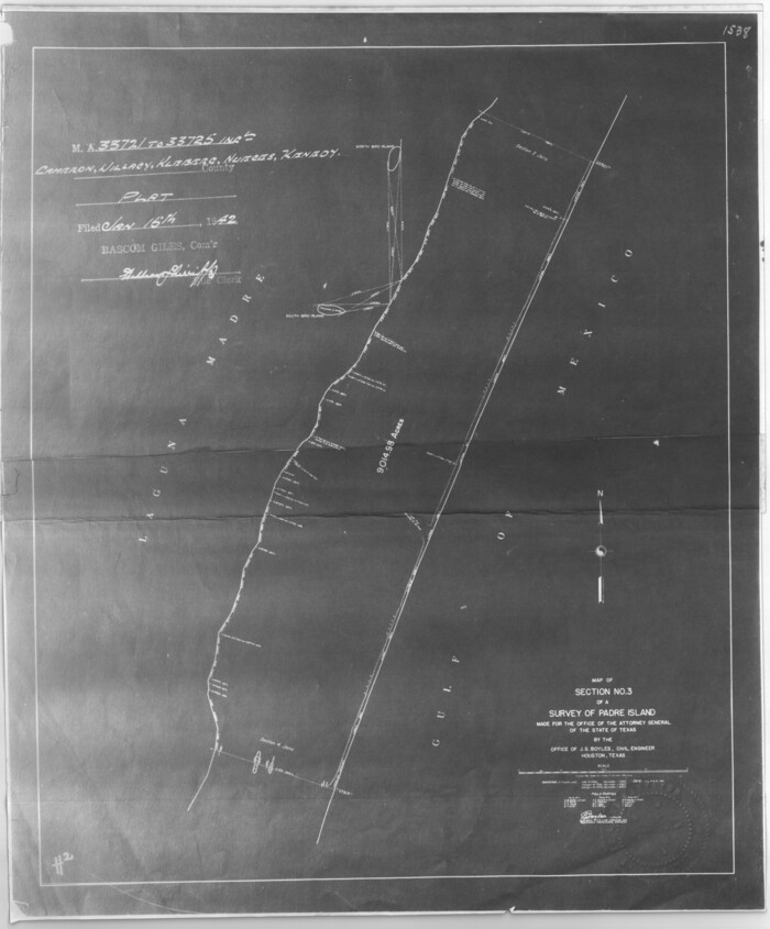
Size: 22.1 x 22.4 inches
2870
[Sketch for Mineral Application 33721 - 33725 Incl. - Padre and Mustang Island]
2871.tif
Print $20.00 - Digital $50.00

[Sketch for Mineral Application 33721 - 33725 Incl. - Padre and Mustang Island]

1942
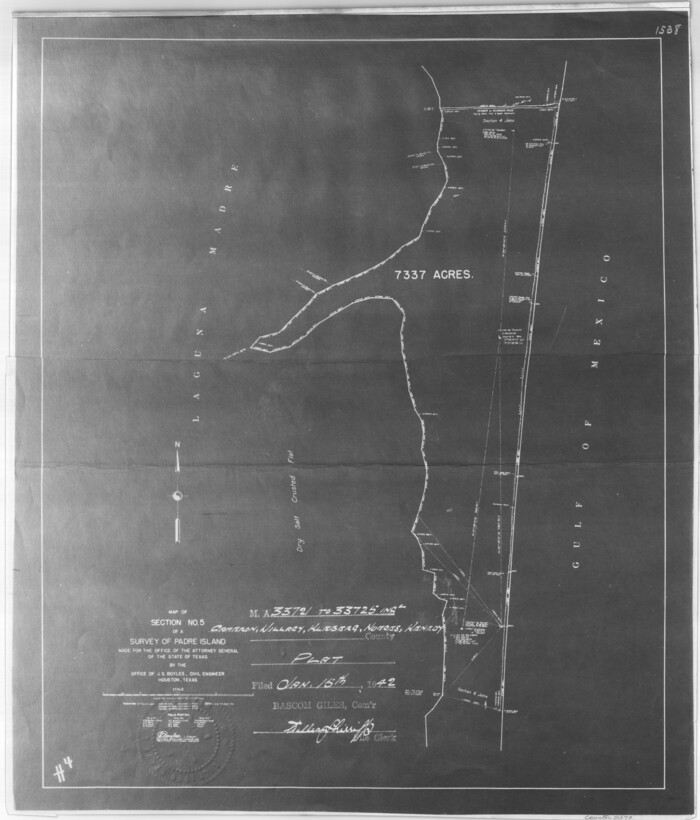
Size: 27.0 x 22.4 inches
2871
[Sketch for Mineral Application 33721 - 33725 Incl. - Padre and Mustang Island]
2873.tif
Print $20.00 - Digital $50.00

[Sketch for Mineral Application 33721 - 33725 Incl. - Padre and Mustang Island]

1942
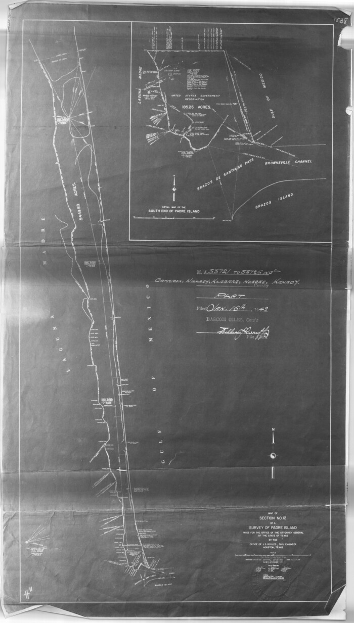
Size: 26.6 x 22.7 inches
2873
[Sketch for Mineral Application 33721 - 33725 Incl. - Padre and Mustang Island]
2874.tif
Print $20.00 - Digital $50.00

[Sketch for Mineral Application 33721 - 33725 Incl. - Padre and Mustang Island]

1941
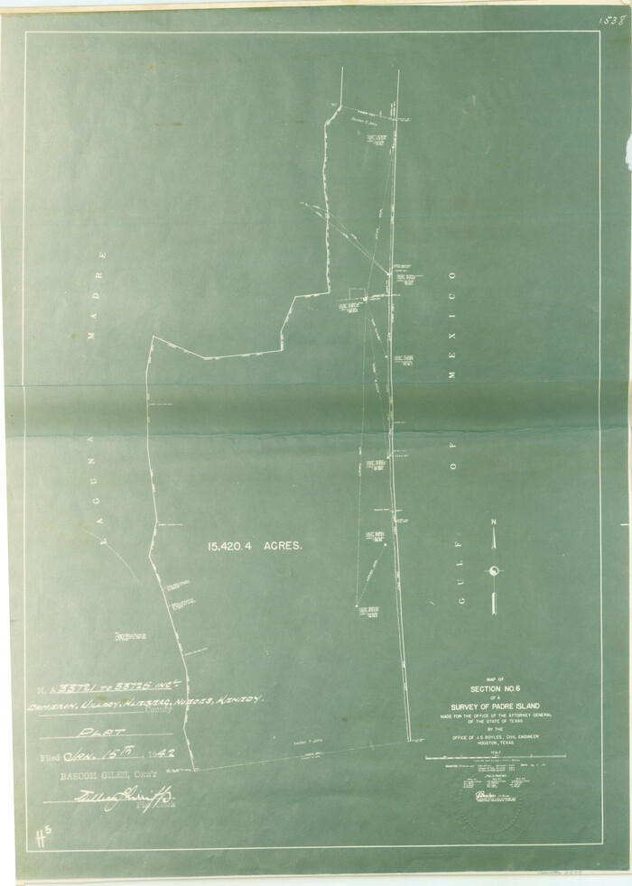
Size: 40.2 x 22.8 inches
2874
[Sketch for Mineral Application 33721 - 33725 Incl. - Padre and Mustang Island]
2875.tif
Print $20.00 - Digital $50.00

[Sketch for Mineral Application 33721 - 33725 Incl. - Padre and Mustang Island]

1942
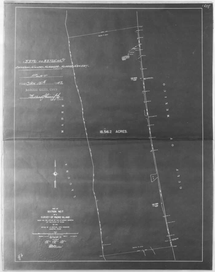
Size: 30.9 x 22.0 inches
2875
[Sketch for Mineral Application 33721 - 33725 Incl. - Padre and Mustang Island]
2876.tif
Print $20.00 - Digital $50.00

[Sketch for Mineral Application 33721 - 33725 Incl. - Padre and Mustang Island]

1942
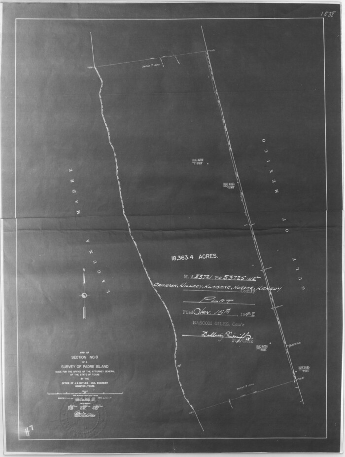
Size: 29.1 x 23.0 inches
2876
[Sketch for Mineral Application 33721 - 33725 Incl. - Padre and Mustang Island]
2877.tif
Print $20.00 - Digital $50.00

[Sketch for Mineral Application 33721 - 33725 Incl. - Padre and Mustang Island]

1942

Size: 29.8 x 22.6 inches
2877
[Sketch for Mineral Application 33721 - 33725 Incl. - Padre and Mustang Island]
2878.tif
Print $20.00 - Digital $50.00

[Sketch for Mineral Application 33721 - 33725 Incl. - Padre and Mustang Island]

1942
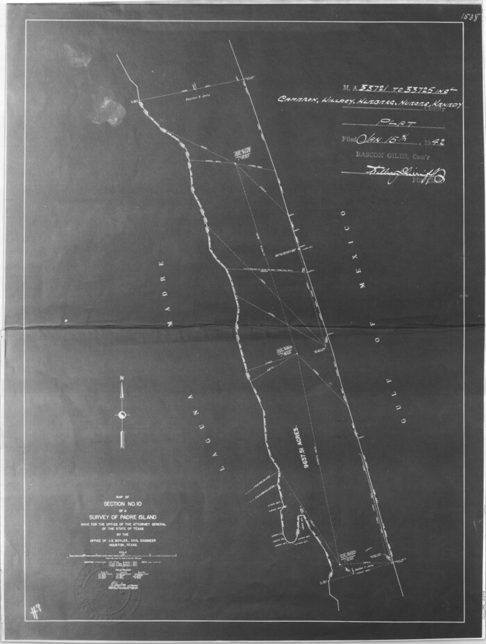
Size: 29.8 x 22.7 inches
2878
[Sketch for Mineral Application 33721 - 33725 Incl. - Padre and Mustang Island]
2879.tif
Print $20.00 - Digital $50.00

[Sketch for Mineral Application 33721 - 33725 Incl. - Padre and Mustang Island]

1942

Size: 29.4 x 22.2 inches
2879
Texas Gulf Coast Map from the Sabine River to the Rio Grande as subdivided for mineral development
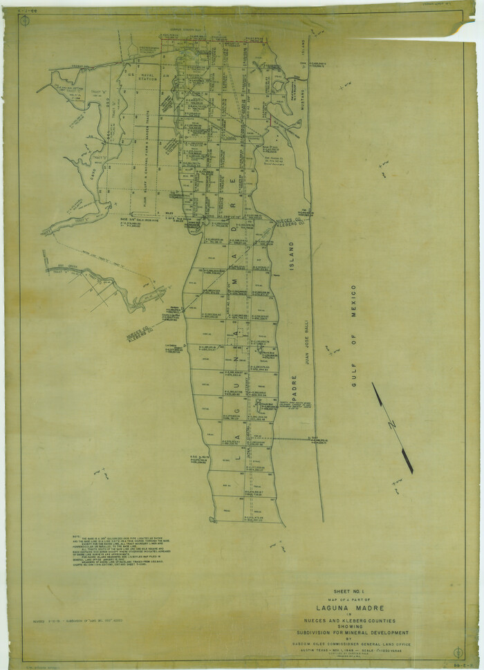
2902.tif
Print $40.00 - Digital $50.00

Texas Gulf Coast Map from the Sabine River to the Rio Grande as subdivided for mineral development

Size: 117.9 x 46.0 inches
2902
Map of a part of Laguna Madre showing subdivision for mineral development
2913.tif
Print $20.00 - Digital $50.00

Map of a part of Laguna Madre showing subdivision for mineral development

1948

Size: 42.9 x 31.0 inches
2913
Map of a part of Laguna Madre showing subdivision for mineral development
2914.tif
Print $20.00 - Digital $50.00

Map of a part of Laguna Madre showing subdivision for mineral development

1948
Size: 37.4 x 27.7 inches
2914
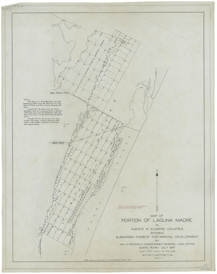
Map of Portion of Laguna Madre in Nueces & Kleberg Counties showing subdivision thereof for mineral development
2918.tif
Print $20.00 - Digital $50.00

Map of Portion of Laguna Madre in Nueces & Kleberg Counties showing subdivision thereof for mineral development

1937

Size: 38.6 x 30.8 inches
2918
Kleberg County Sketch File 1
29192, Kleberg County Sketch File 1, General Map Collection
Print $36.00 - Digital $50.00

Kleberg County Sketch File 1

1994

Size: 8.8 x 11.3 inches
29192
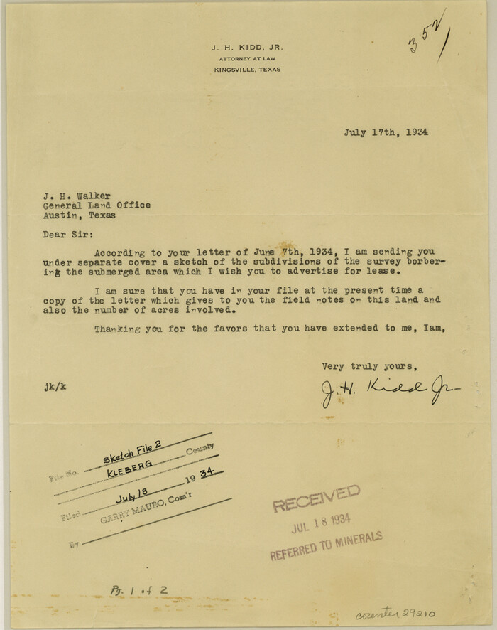
Kleberg County Sketch File 2
29210, Kleberg County Sketch File 2, General Map Collection
Print $5.00 - Digital $50.00

Kleberg County Sketch File 2

1934

Size: 11.1 x 8.8 inches
29210
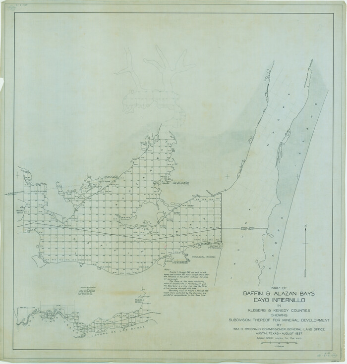
Map of Baffin & Alazan Bays, Cayo Infiernillo in Kenedy & Kleberg Counties Showing Subdivision for Mineral Development
3016.tif
Print $20.00 - Digital $50.00

Map of Baffin & Alazan Bays, Cayo Infiernillo in Kenedy & Kleberg Counties Showing Subdivision for Mineral Development

1937

Size: 42.4 x 40.4 inches
3016
Map of Baffin & Alazan Bays, Cayo Infiernillo in Kenedy & Kleberg Counties Showing Subdivision for Mineral Development
3017.tif
Print $40.00 - Digital $50.00

Map of Baffin & Alazan Bays, Cayo Infiernillo in Kenedy & Kleberg Counties Showing Subdivision for Mineral Development

1949
Size: 30.5 x 54.2 inches
3017
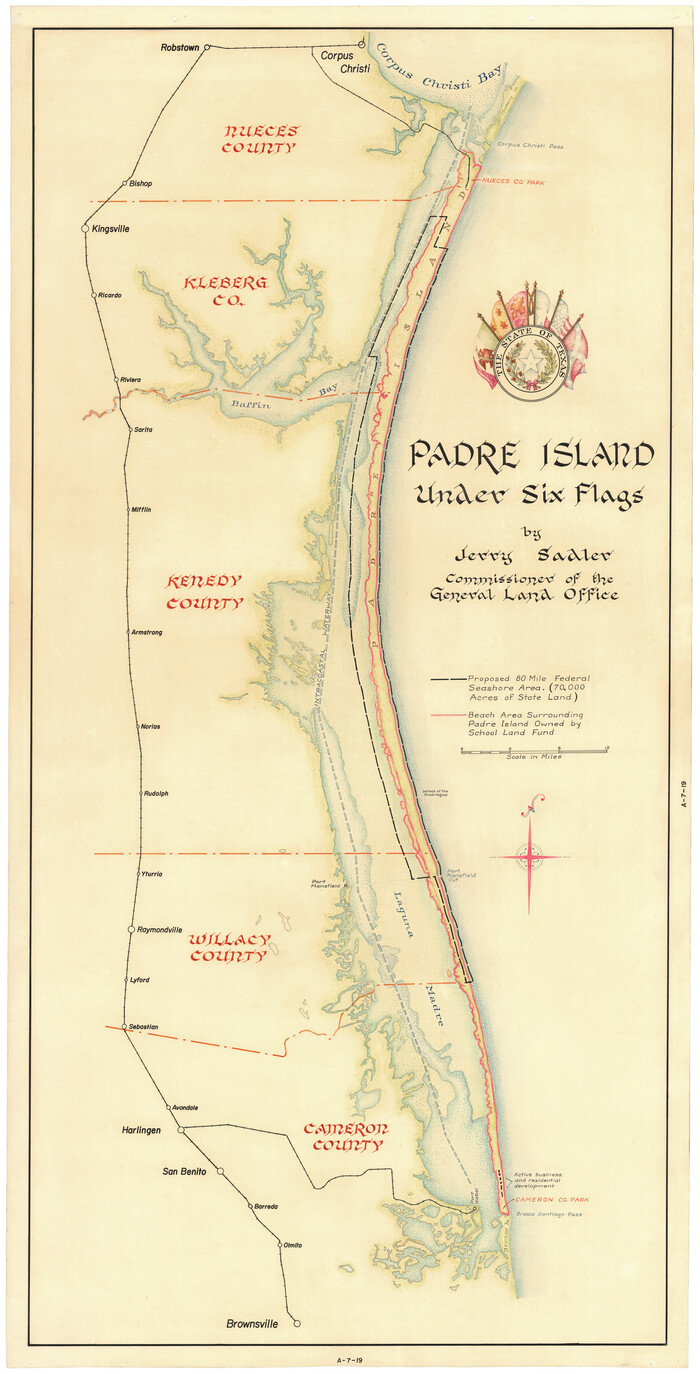
Padre Island Under Six Flags
3123-1.tif
Print $40.00 - Digital $50.00

Padre Island Under Six Flags

1962

Size: 59.3 x 30.3 inches
3123
Padre Island Under Six Flags
3126.tif
Print $40.00 - Digital $50.00

Padre Island Under Six Flags

1962

Size: 63.7 x 36.9 inches
3126
[Surveying Sketch of M. Farley, R. Word, S. S. Hervey, et al in Kleberg County, Texas]
10783, [Surveying Sketch of M. Farley, R. Word, S. S. Hervey, et al in Kleberg County, Texas], Maddox Collection
Print $20.00 - Digital $50.00

[Surveying Sketch of M. Farley, R. Word, S. S. Hervey, et al in Kleberg County, Texas]

  • Size

    23.2 x 40.6 inches

  • Map/Doc

    10783

Kleberg County
1878, Kleberg County, General Map Collection
Print $20.00 - Digital $50.00

Kleberg County

1913

  • Size

    25.6 x 32.8 inches

  • Map/Doc

    1878

  • Creation Date

    1913

Part of Laguna Madre in Nueces and Kleberg Counties, showing Subdivision for Mineral Development
1921, Part of Laguna Madre in Nueces and Kleberg Counties, showing Subdivision for Mineral Development, General Map Collection
Print $20.00 - Digital $50.00

Part of Laguna Madre in Nueces and Kleberg Counties, showing Subdivision for Mineral Development

1948

  • Size

    42.0 x 30.3 inches

  • Map/Doc

    1921

  • Creation Date

    1948

Part of Laguna Madre in Nueces and Kleberg Counties, showing Subdivision for Mineral Development
1922, Part of Laguna Madre in Nueces and Kleberg Counties, showing Subdivision for Mineral Development, General Map Collection
Print $20.00 - Digital $50.00

Part of Laguna Madre in Nueces and Kleberg Counties, showing Subdivision for Mineral Development

1948

  • Size

    36.9 x 26.6 inches

  • Map/Doc

    1922

  • Creation Date

    1948

Baffin and Alazan Bays, Cayo Infiernillo in Kenedy and Kleberg Counties, showing Subdivision for Mineral Development
1923, Baffin and Alazan Bays, Cayo Infiernillo in Kenedy and Kleberg Counties, showing Subdivision for Mineral Development, General Map Collection
Print $40.00 - Digital $50.00

Baffin and Alazan Bays, Cayo Infiernillo in Kenedy and Kleberg Counties, showing Subdivision for Mineral Development

1949

  • Size

    33.0 x 52.4 inches

  • Map/Doc

    1923

  • Creation Date

    1949

Texas Gulf Coast, from the Sabine River to the Rio Grande as Subdivided for Mineral Development; Aransas, Nueces, Kleberg, Kenedy, Willacy, and Cameron Counties
1940, Texas Gulf Coast, from the Sabine River to the Rio Grande as Subdivided for Mineral Development; Aransas, Nueces, Kleberg, Kenedy, Willacy, and Cameron Counties, General Map Collection
Print $40.00 - Digital $50.00

Texas Gulf Coast, from the Sabine River to the Rio Grande as Subdivided for Mineral Development; Aransas, Nueces, Kleberg, Kenedy, Willacy, and Cameron Counties

1976

  • Size

    118.0 x 43.0 inches

  • Map/Doc

    1940

  • Creation Date

    1976

Map of sections 1 & 2 of a survey of Padre Island made for the Office of the Attorney General of the State of Texas
2258, Map of sections 1 & 2 of a survey of Padre Island made for the Office of the Attorney General of the State of Texas, General Map Collection
Print $20.00 - Digital $50.00

Map of sections 1 & 2 of a survey of Padre Island made for the Office of the Attorney General of the State of Texas

1941

  • Size

    40.8 x 39.8 inches

  • Map/Doc

    2258

  • Creation Date

    1941

Map of section no. 3 of a survey of Padre Island made for the Office of the Attorney General of the State of Texas
2259, Map of section no. 3 of a survey of Padre Island made for the Office of the Attorney General of the State of Texas, General Map Collection
Print $40.00 - Digital $50.00

Map of section no. 3 of a survey of Padre Island made for the Office of the Attorney General of the State of Texas

1941

  • Size

    49.6 x 40.2 inches

  • Map/Doc

    2259

  • Creation Date

    1941

Map of section no. 4 of a survey of Padre Island made for the Office of the Attorney General of the State of Texas
2260, Map of section no. 4 of a survey of Padre Island made for the Office of the Attorney General of the State of Texas, General Map Collection
Print $40.00 - Digital $50.00

Map of section no. 4 of a survey of Padre Island made for the Office of the Attorney General of the State of Texas

1941

  • Size

    82.6 x 40.8 inches

  • Map/Doc

    2260

  • Creation Date

    1941

[Sketch for Mineral Application 33721 - 33725 Incl. - Padre and Mustang Island]
2868, [Sketch for Mineral Application 33721 - 33725  Incl. - Padre and Mustang Island], General Map Collection
Print $20.00 - Digital $50.00

[Sketch for Mineral Application 33721 - 33725 Incl. - Padre and Mustang Island]

1942

  • Size

    29.7 x 22.3 inches

  • Map/Doc

    2868

  • Creation Date

    1942

[Sketch for Mineral Application 33721 - 33725 Incl. - Padre and Mustang Island]
2869, [Sketch for Mineral Application 33721 - 33725  Incl. - Padre and Mustang Island], General Map Collection
Print $20.00 - Digital $50.00

[Sketch for Mineral Application 33721 - 33725 Incl. - Padre and Mustang Island]

1942

  • Size

    22.2 x 22.3 inches

  • Map/Doc

    2869

  • Creation Date

    1942

[Sketch for Mineral Application 33721 - 33725 Incl. - Padre and Mustang Island]
2870, [Sketch for Mineral Application 33721 - 33725  Incl. - Padre and Mustang Island], General Map Collection
Print $20.00 - Digital $50.00

[Sketch for Mineral Application 33721 - 33725 Incl. - Padre and Mustang Island]

1942

  • Size

    22.1 x 22.4 inches

  • Map/Doc

    2870

  • Creation Date

    1942

[Sketch for Mineral Application 33721 - 33725 Incl. - Padre and Mustang Island]
2871, [Sketch for Mineral Application 33721 - 33725  Incl. - Padre and Mustang Island], General Map Collection
Print $20.00 - Digital $50.00

[Sketch for Mineral Application 33721 - 33725 Incl. - Padre and Mustang Island]

1942

  • Size

    27.0 x 22.4 inches

  • Map/Doc

    2871

  • Creation Date

    1942

[Sketch for Mineral Application 33721 - 33725 Incl. - Padre and Mustang Island]
2873, [Sketch for Mineral Application 33721 - 33725  Incl. - Padre and Mustang Island], General Map Collection
Print $20.00 - Digital $50.00

[Sketch for Mineral Application 33721 - 33725 Incl. - Padre and Mustang Island]

1942

  • Size

    26.6 x 22.7 inches

  • Map/Doc

    2873

  • Creation Date

    1942

[Sketch for Mineral Application 33721 - 33725 Incl. - Padre and Mustang Island]
2874, [Sketch for Mineral Application 33721 - 33725  Incl. - Padre and Mustang Island], General Map Collection
Print $20.00 - Digital $50.00

[Sketch for Mineral Application 33721 - 33725 Incl. - Padre and Mustang Island]

1941

  • Size

    40.2 x 22.8 inches

  • Map/Doc

    2874

  • Creation Date

    1941

[Sketch for Mineral Application 33721 - 33725 Incl. - Padre and Mustang Island]
2875, [Sketch for Mineral Application 33721 - 33725  Incl. - Padre and Mustang Island], General Map Collection
Print $20.00 - Digital $50.00

[Sketch for Mineral Application 33721 - 33725 Incl. - Padre and Mustang Island]

1942

  • Size

    30.9 x 22.0 inches

  • Map/Doc

    2875

  • Creation Date

    1942

[Sketch for Mineral Application 33721 - 33725 Incl. - Padre and Mustang Island]
2876, [Sketch for Mineral Application 33721 - 33725  Incl. - Padre and Mustang Island], General Map Collection
Print $20.00 - Digital $50.00

[Sketch for Mineral Application 33721 - 33725 Incl. - Padre and Mustang Island]

1942

  • Size

    29.1 x 23.0 inches

  • Map/Doc

    2876

  • Creation Date

    1942

[Sketch for Mineral Application 33721 - 33725 Incl. - Padre and Mustang Island]
2877, [Sketch for Mineral Application 33721 - 33725  Incl. - Padre and Mustang Island], General Map Collection
Print $20.00 - Digital $50.00

[Sketch for Mineral Application 33721 - 33725 Incl. - Padre and Mustang Island]

1942

  • Size

    29.8 x 22.6 inches

  • Map/Doc

    2877

  • Creation Date

    1942

[Sketch for Mineral Application 33721 - 33725 Incl. - Padre and Mustang Island]
2878, [Sketch for Mineral Application 33721 - 33725  Incl. - Padre and Mustang Island], General Map Collection
Print $20.00 - Digital $50.00

[Sketch for Mineral Application 33721 - 33725 Incl. - Padre and Mustang Island]

1942

  • Size

    29.8 x 22.7 inches

  • Map/Doc

    2878

  • Creation Date

    1942

[Sketch for Mineral Application 33721 - 33725 Incl. - Padre and Mustang Island]
2879, [Sketch for Mineral Application 33721 - 33725  Incl. - Padre and Mustang Island], General Map Collection
Print $20.00 - Digital $50.00

[Sketch for Mineral Application 33721 - 33725 Incl. - Padre and Mustang Island]

1942

  • Size

    29.4 x 22.2 inches

  • Map/Doc

    2879

  • Creation Date

    1942

Texas Gulf Coast Map from the Sabine River to the Rio Grande as subdivided for mineral development
2902, Texas Gulf Coast Map from the Sabine River to the Rio Grande as subdivided for mineral development, General Map Collection
Print $40.00 - Digital $50.00

Texas Gulf Coast Map from the Sabine River to the Rio Grande as subdivided for mineral development

  • Size

    117.9 x 46.0 inches

  • Map/Doc

    2902

Map of a part of Laguna Madre showing subdivision for mineral development
2913, Map of a part of Laguna Madre showing subdivision for mineral development, General Map Collection
Print $20.00 - Digital $50.00

Map of a part of Laguna Madre showing subdivision for mineral development

1948

  • Size

    42.9 x 31.0 inches

  • Map/Doc

    2913

  • Creation Date

    1948

Map of a part of Laguna Madre showing subdivision for mineral development
2914, Map of a part of Laguna Madre showing subdivision for mineral development, General Map Collection
Print $20.00 - Digital $50.00

Map of a part of Laguna Madre showing subdivision for mineral development

1948

  • Size

    37.4 x 27.7 inches

  • Map/Doc

    2914

  • Creation Date

    1948

Map of Portion of Laguna Madre in Nueces & Kleberg Counties showing subdivision thereof for mineral development
2918, Map of Portion of Laguna Madre in Nueces & Kleberg Counties showing subdivision thereof for mineral development, General Map Collection
Print $20.00 - Digital $50.00

Map of Portion of Laguna Madre in Nueces & Kleberg Counties showing subdivision thereof for mineral development

1937

  • Size

    38.6 x 30.8 inches

  • Map/Doc

    2918

  • Creation Date

    1937

Kleberg County Sketch File 1
29192, Kleberg County Sketch File 1, General Map Collection
Print $36.00 - Digital $50.00

Kleberg County Sketch File 1

1994

  • Size

    8.8 x 11.3 inches

  • Map/Doc

    29192

  • Creation Date

    1994

Kleberg County Sketch File 2
29210, Kleberg County Sketch File 2, General Map Collection
Print $5.00 - Digital $50.00

Kleberg County Sketch File 2

1934

  • Size

    11.1 x 8.8 inches

  • Map/Doc

    29210

  • Creation Date

    1934

Map of Baffin & Alazan Bays, Cayo Infiernillo in Kenedy & Kleberg Counties Showing Subdivision for Mineral Development
3016, Map of Baffin & Alazan Bays, Cayo Infiernillo in Kenedy & Kleberg Counties Showing Subdivision for Mineral Development, General Map Collection
Print $20.00 - Digital $50.00

Map of Baffin & Alazan Bays, Cayo Infiernillo in Kenedy & Kleberg Counties Showing Subdivision for Mineral Development

1937

  • Size

    42.4 x 40.4 inches

  • Map/Doc

    3016

  • Creation Date

    1937

Map of Baffin & Alazan Bays, Cayo Infiernillo in Kenedy & Kleberg Counties Showing Subdivision for Mineral Development
3017, Map of Baffin & Alazan Bays, Cayo Infiernillo in Kenedy & Kleberg Counties Showing Subdivision for Mineral Development, General Map Collection
Print $40.00 - Digital $50.00

Map of Baffin & Alazan Bays, Cayo Infiernillo in Kenedy & Kleberg Counties Showing Subdivision for Mineral Development

1949

  • Size

    30.5 x 54.2 inches

  • Map/Doc

    3017

  • Creation Date

    1949

Padre Island Under Six Flags
3123, Padre Island Under Six Flags, General Map Collection
Print $40.00 - Digital $50.00

Padre Island Under Six Flags

1962

  • Size

    59.3 x 30.3 inches

  • Map/Doc

    3123

  • Creation Date

    1962

Padre Island Under Six Flags
3126, Padre Island Under Six Flags, General Map Collection
Print $40.00 - Digital $50.00

Padre Island Under Six Flags

1962

  • Size

    63.7 x 36.9 inches

  • Map/Doc

    3126

  • Creation Date

    1962