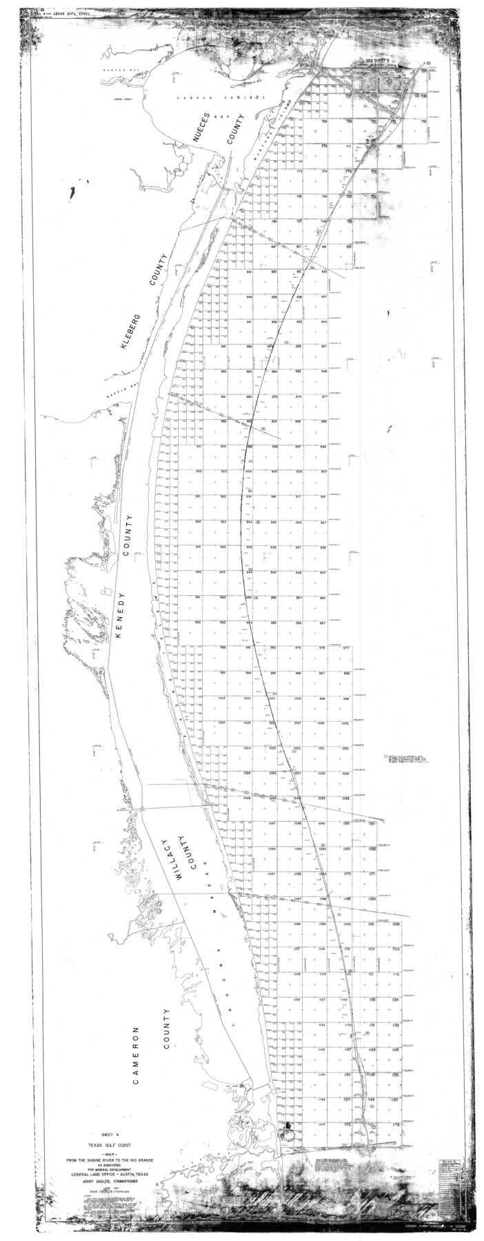
Texas Gulf Coast Map from the Sabine River to the Rio Grande as subdivided for mineral development
K-3-35; K-3-36; K-3-37; K-3-38
-
Map/Doc
2902
-
Collection
General Map Collection
-
People and Organizations
General Land Office (Publisher)
-
Counties
Aransas Nueces Kleberg Kenedy Willacy Cameron
-
Subjects
Energy Offshore Submerged Area
-
Height x Width
117.9 x 46.0 inches
299.5 x 116.8 cm
-
Comments
Obsolete as of 1967.
Part of: General Map Collection
Taylor County Sketch File 6

Print $40.00
- Digital $50.00
Taylor County Sketch File 6
Size 40.1 x 55.0 inches
Map/Doc 10382
Andrews County Rolled Sketch 44

Print $40.00
- Digital $50.00
Andrews County Rolled Sketch 44
1990
Size 37.0 x 64.8 inches
Map/Doc 94990
Atascosa County Sketch File 23

Print $40.00
- Digital $50.00
Atascosa County Sketch File 23
Size 17.1 x 21.2 inches
Map/Doc 10860
Briscoe County Sketch File G

Print $40.00
- Digital $50.00
Briscoe County Sketch File G
1918
Size 17.7 x 22.4 inches
Map/Doc 11004
Texas, San Antonio Bay, Hynes Bay

Print $40.00
- Digital $50.00
Texas, San Antonio Bay, Hynes Bay
1934
Size 33.0 x 48.9 inches
Map/Doc 69998
Wharton County Rolled Sketch 9

Print $20.00
- Digital $50.00
Wharton County Rolled Sketch 9
1970
Size 30.1 x 41.3 inches
Map/Doc 8233
Travis County Boundary File 20

Print $6.00
- Digital $50.00
Travis County Boundary File 20
Size 14.4 x 9.2 inches
Map/Doc 59454
Mitchell County Sketch File X

Print $20.00
- Digital $50.00
Mitchell County Sketch File X
1908
Size 29.9 x 17.7 inches
Map/Doc 12104
Flight Mission No. CUG-3P, Frame 164, Kleberg County

Print $20.00
- Digital $50.00
Flight Mission No. CUG-3P, Frame 164, Kleberg County
1956
Size 18.5 x 22.2 inches
Map/Doc 86284
Flight Mission No. CRE-1R, Frame 130, Jackson County

Print $20.00
- Digital $50.00
Flight Mission No. CRE-1R, Frame 130, Jackson County
1956
Size 18.4 x 22.3 inches
Map/Doc 85338
Flight Mission No. CLL-1N, Frame 189, Willacy County

Print $20.00
- Digital $50.00
Flight Mission No. CLL-1N, Frame 189, Willacy County
1954
Size 18.2 x 22.0 inches
Map/Doc 87059
San Jacinto County Working Sketch 36

Print $40.00
- Digital $50.00
San Jacinto County Working Sketch 36
1964
Size 33.0 x 57.2 inches
Map/Doc 63749
You may also like
No. 3 Chart of Channel connecting Corpus Christi Bay with Aransas Bay, Texas

Print $20.00
- Digital $50.00
No. 3 Chart of Channel connecting Corpus Christi Bay with Aransas Bay, Texas
1878
Size 18.4 x 28.0 inches
Map/Doc 72775
Potter County Sketch File 9

Print $20.00
- Digital $50.00
Potter County Sketch File 9
1887
Size 12.5 x 17.7 inches
Map/Doc 12198
Wichita County Sketch File 7

Print $2.00
- Digital $50.00
Wichita County Sketch File 7
Size 7.5 x 13.9 inches
Map/Doc 40047
Plat Showing Block Z, W. D. and F. W. Johnson Subdivision, Bailey County, Texas

Print $20.00
- Digital $50.00
Plat Showing Block Z, W. D. and F. W. Johnson Subdivision, Bailey County, Texas
1955
Size 24.3 x 15.7 inches
Map/Doc 92538
[Part of North line of County, North of Block G]
![90803, [Part of North line of County, North of Block G], Twichell Survey Records](https://historictexasmaps.com/wmedia_w700/maps/90803-1.tif.jpg)
Print $2.00
- Digital $50.00
[Part of North line of County, North of Block G]
Size 11.8 x 4.2 inches
Map/Doc 90803
Flight Mission No. DQN-7K, Frame 89, Calhoun County

Print $20.00
- Digital $50.00
Flight Mission No. DQN-7K, Frame 89, Calhoun County
1953
Size 18.4 x 22.2 inches
Map/Doc 84480
Survey of all that part of lots 6, 7, and the north 1/2 of 20 foot alley lying south of said lots 6 and 7, all of lots 8, 9, 10, the east one half of lot 11, all of lot 13, lying south and adjacent to the southerly seawall right-of-way line

Print $2.00
- Digital $50.00
Survey of all that part of lots 6, 7, and the north 1/2 of 20 foot alley lying south of said lots 6 and 7, all of lots 8, 9, 10, the east one half of lot 11, all of lot 13, lying south and adjacent to the southerly seawall right-of-way line
1969
Size 17.0 x 15.3 inches
Map/Doc 73624
Jones County Sketch File 19

Print $56.00
- Digital $50.00
Jones County Sketch File 19
1875
Size 11.1 x 8.6 inches
Map/Doc 28516

Brewster County Working Sketch 118.2

Print $20.00
- Digital $50.00
Brewster County Working Sketch 118.2
Size 26.8 x 20.6 inches
Map/Doc 67871
Nueces County, Texas

Print $20.00
- Digital $50.00
Nueces County, Texas
1879
Size 29.3 x 40.0 inches
Map/Doc 590
Geographically Correct Map of United States showing the Union Pacific System - Union Pacific R.R. Co., Oregon Short Line R.R. Co., Oregon-Washington R.R. & Nav. Co., Los Angeles & Salt Lake R.R. Co., St. Joseph & Grand Island Ry. Co. and connections

Print $20.00
- Digital $50.00
Geographically Correct Map of United States showing the Union Pacific System - Union Pacific R.R. Co., Oregon Short Line R.R. Co., Oregon-Washington R.R. & Nav. Co., Los Angeles & Salt Lake R.R. Co., St. Joseph & Grand Island Ry. Co. and connections
1922
Size 18.2 x 32.2 inches
Map/Doc 95771