339 results

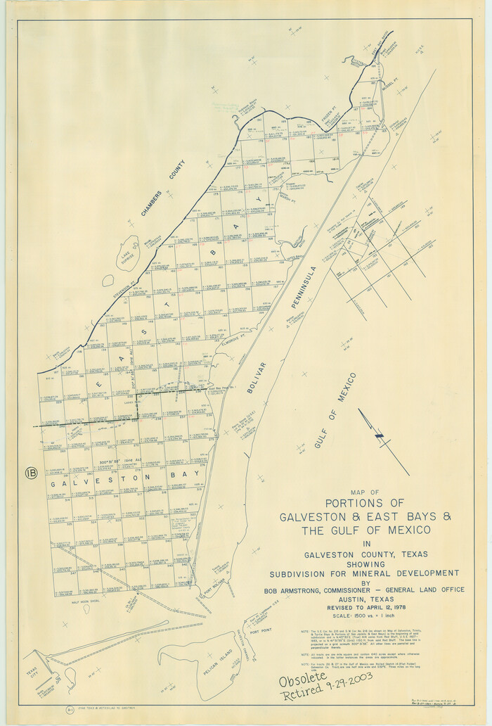
Portions of Galveston and East Bays and the Gulf of Mexico in Galveston County, showing Subdivision for Mineral Development
1904.tif
Print $20.00 - Digital $50.00

Portions of Galveston and East Bays and the Gulf of Mexico in Galveston County, showing Subdivision for Mineral Development

1978
Size: 38.1 x 25.8 inches
1904
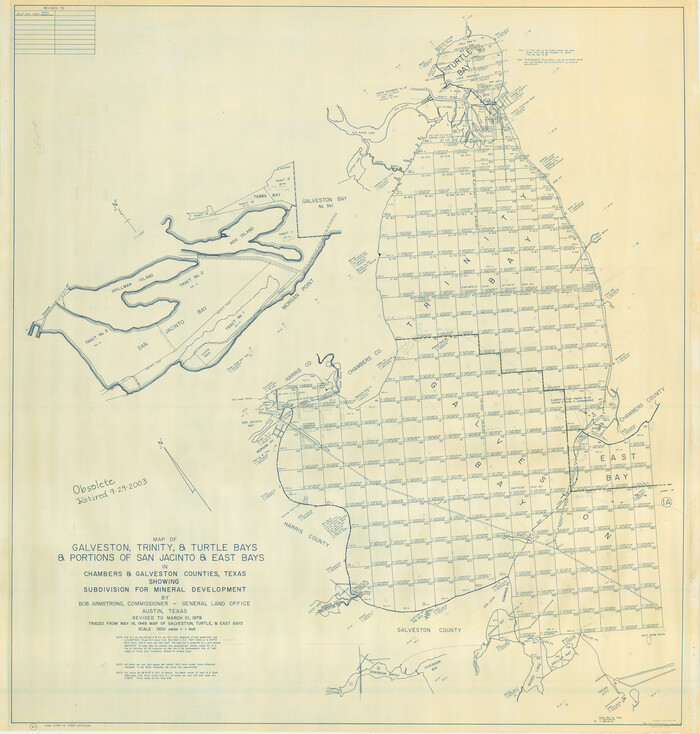
Galveston, Trinity, and Turtle Bays and Portions of San Jacinto and East Bays in Chambers and Galveston Counties, showing Subdivision for Mineral Development
1905.tif
Print $20.00 - Digital $50.00

Galveston, Trinity, and Turtle Bays and Portions of San Jacinto and East Bays in Chambers and Galveston Counties, showing Subdivision for Mineral Development

1978
Size: 46.0 x 43.9 inches
1905
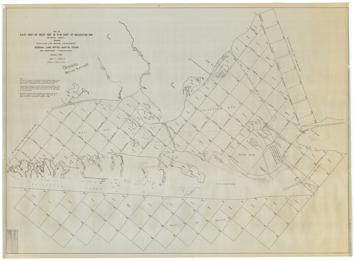
East Part of West Bay and Southwest Part of Galveston Bay, Galveston County, showing Subdivision for Mineral Development
1906-GC.tif
Print $40.00 - Digital $50.00

East Part of West Bay and Southwest Part of Galveston Bay, Galveston County, showing Subdivision for Mineral Development

1963

Size: 42.2 x 58.2 inches
1906
Chocolate Bay, West Portion of West Bay and Vicinity, Brazoria and Galveston Counties, showing Subdivision for Mineral Development
1907.tif
Print $40.00 - Digital $50.00

Chocolate Bay, West Portion of West Bay and Vicinity, Brazoria and Galveston Counties, showing Subdivision for Mineral Development

1948
Size: 40.7 x 53.9 inches
1907
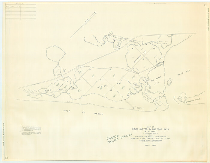
Drum, Oyster and Bastrop Bays and Vicinity; Brazoria County, showing Subdivision for Mineral Development
1908.tif
Print $20.00 - Digital $50.00

Drum, Oyster and Bastrop Bays and Vicinity; Brazoria County, showing Subdivision for Mineral Development

1949

Size: 35.4 x 45.4 inches
1908
East Portion of Matagorda Bay in Matagorda County, showing Subdivision for Mineral Development
1909.tif
Print $40.00 - Digital $50.00

East Portion of Matagorda Bay in Matagorda County, showing Subdivision for Mineral Development

1949
Size: 30.8 x 51.1 inches
1909
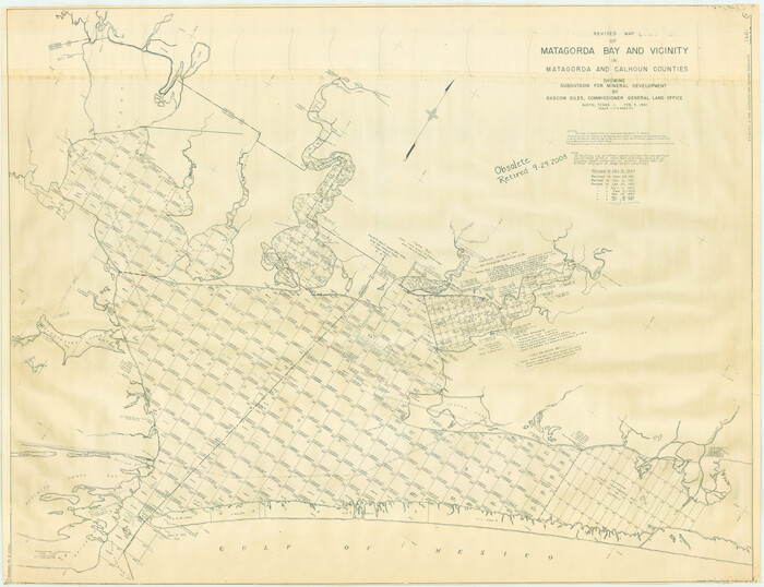
Revised Map of Matagorda Bay and Vicinity in Matagorda and Calhoun Counties, showing Subdivision for Mineral Development
1910.tif
Print $40.00 - Digital $50.00

Revised Map of Matagorda Bay and Vicinity in Matagorda and Calhoun Counties, showing Subdivision for Mineral Development

1959
Size: 43.8 x 57.0 inches
1910
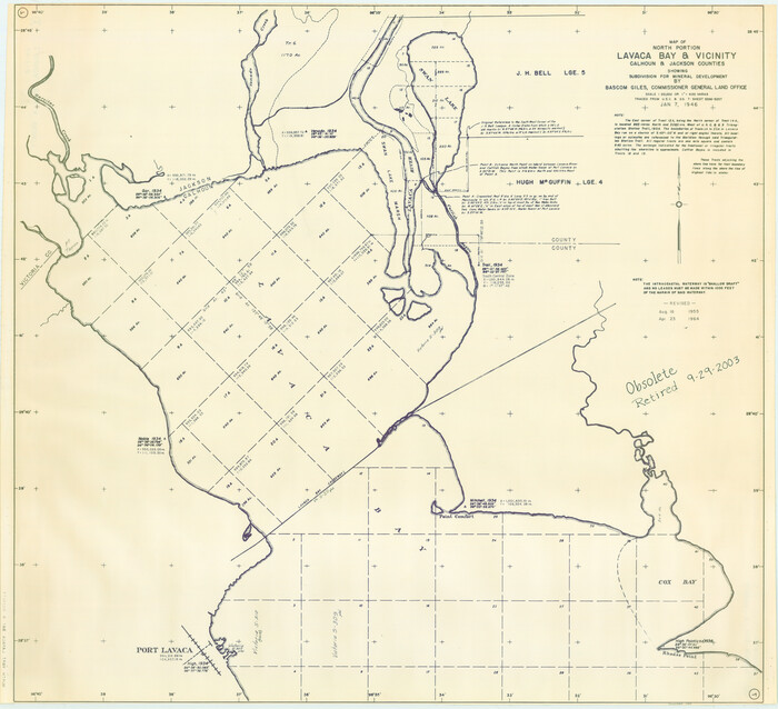
North Portion of Lavaca Bay and Vicinity, showing Subdivision for Mineral Development
1911.tif
Print $20.00 - Digital $50.00

North Portion of Lavaca Bay and Vicinity, showing Subdivision for Mineral Development

1946

Size: 33.8 x 37.1 inches
1911
San Antonio Bay and Vicinity in Aransas and Calhoun Counties, showing Subdivsion for Mineral Development
1912.tif
Print $40.00 - Digital $50.00

San Antonio Bay and Vicinity in Aransas and Calhoun Counties, showing Subdivsion for Mineral Development

1948
Size: 37.0 x 74.5 inches
1912
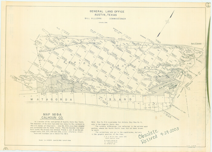
Espiritu Santo Bay, Calhoun County, showing Subdivision for Mineral Development
1913.tif
Print $20.00 - Digital $50.00

Espiritu Santo Bay, Calhoun County, showing Subdivision for Mineral Development

1958
Size: 20.1 x 28.0 inches
1913
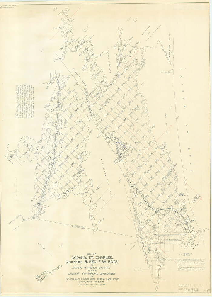
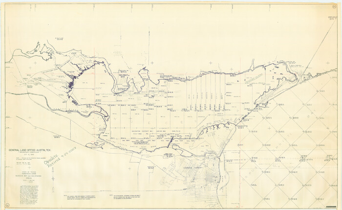
Copano, St. Charles, Aransas and Red Fish Bays, in Aransas and Nueces Counties, showing Subdivision for Mineral Development
1914.tif
Print $40.00 - Digital $50.00

Copano, St. Charles, Aransas and Red Fish Bays, in Aransas and Nueces Counties, showing Subdivision for Mineral Development

1949
Size: 55.9 x 40.0 inches
1914
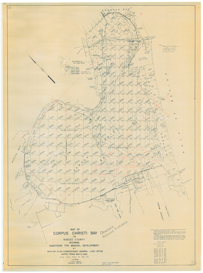
Nueces Bay and Adjoining Areas showing submerged Lands
1916.tif
Print $40.00 - Digital $50.00

Nueces Bay and Adjoining Areas showing submerged Lands

1946
Size: 34.6 x 56.4 inches
1916
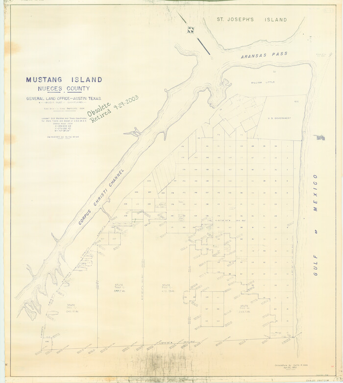
Corpus Christi Bay in Nueces County, showing Subdivision for Mineral Development
1917.tif
Print $40.00 - Digital $50.00

Corpus Christi Bay in Nueces County, showing Subdivision for Mineral Development

1950
Size: 48.4 x 36.0 inches
1917
Mustang Island, Nueces County
1918.tif
Print $20.00 - Digital $50.00

Mustang Island, Nueces County

1952

Size: 39.5 x 35.4 inches
1918
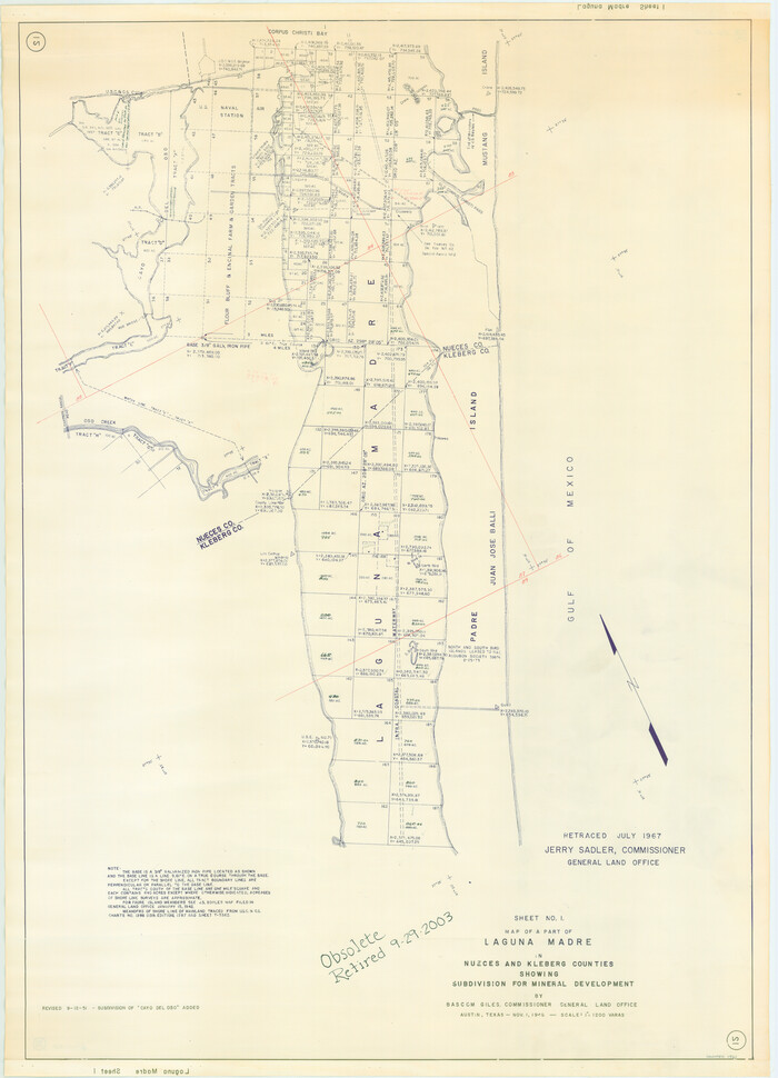
State Tracts in East Part of Corpus Christi Bay, surveys on Harbor Island and Corpus Christi Channel, Nueces County
1919.tif
Print $40.00 - Digital $50.00

State Tracts in East Part of Corpus Christi Bay, surveys on Harbor Island and Corpus Christi Channel, Nueces County

1957
Size: 54.1 x 37.7 inches
1919
Part of Laguna Madre in Nueces and Kleberg Counties, showing Subdivision for Mineral Development
1921.tif
Print $20.00 - Digital $50.00

Part of Laguna Madre in Nueces and Kleberg Counties, showing Subdivision for Mineral Development

1948

Size: 42.0 x 30.3 inches
1921
Part of Laguna Madre in Nueces and Kleberg Counties, showing Subdivision for Mineral Development
1922.tif
Print $20.00 - Digital $50.00

Part of Laguna Madre in Nueces and Kleberg Counties, showing Subdivision for Mineral Development

1948

Size: 36.9 x 26.6 inches
1922
Baffin and Alazan Bays, Cayo Infiernillo in Kenedy and Kleberg Counties, showing Subdivision for Mineral Development
1923.tif
Print $40.00 - Digital $50.00

Baffin and Alazan Bays, Cayo Infiernillo in Kenedy and Kleberg Counties, showing Subdivision for Mineral Development

1949
Size: 33.0 x 52.4 inches
1923
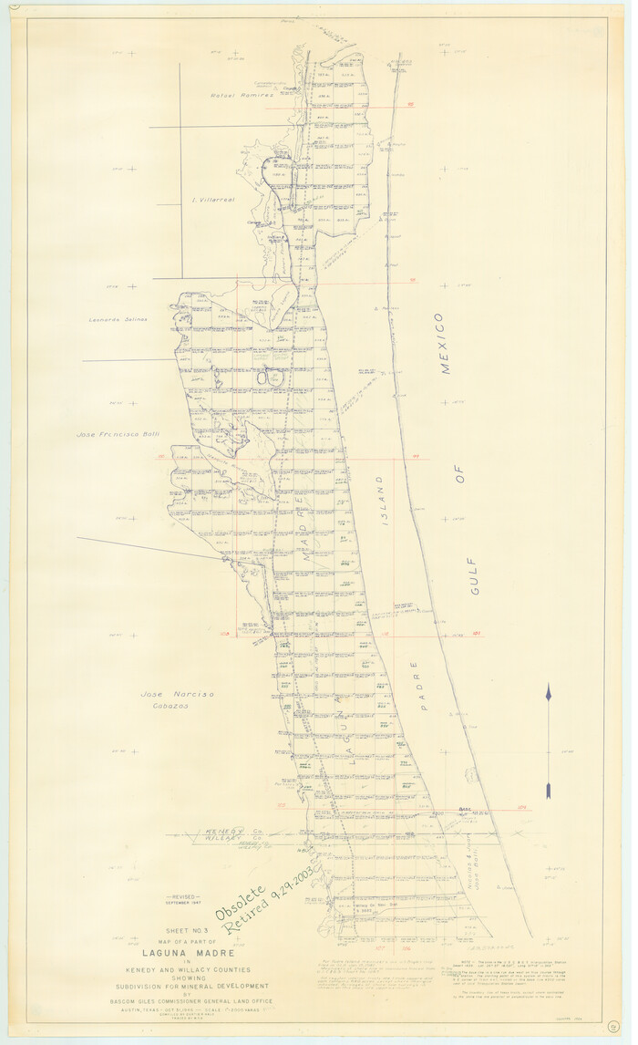
Part of Laguna Madre in Kenedy and Willacy Counties, showing Subdivision for Mineral Development
1924.tif
Print $40.00 - Digital $50.00

Part of Laguna Madre in Kenedy and Willacy Counties, showing Subdivision for Mineral Development

1946
Size: 49.1 x 30.0 inches
1924
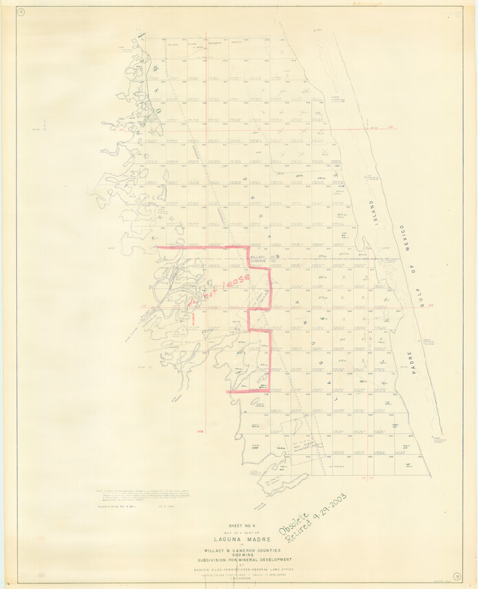
Part of Laguna Madre in Willacy and Cameron Counties, showing Subdivision for Mineral Development
1925.tif
Print $20.00 - Digital $50.00

Part of Laguna Madre in Willacy and Cameron Counties, showing Subdivision for Mineral Development

1950

Size: 45.1 x 36.8 inches
1925
Part of Laguna Madre in Cameron County, showing Subdivision for Mineral Development
1926.tif
Print $20.00 - Digital $50.00

Part of Laguna Madre in Cameron County, showing Subdivision for Mineral Development

1963
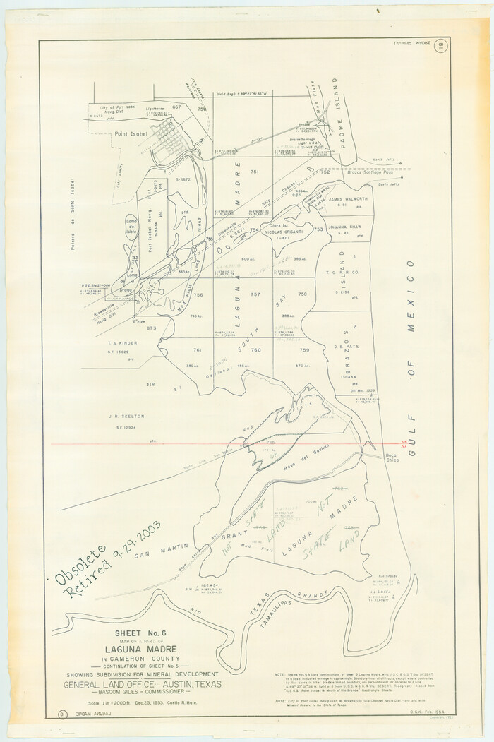
Size: 45.8 x 36.0 inches
1926
Part of Laguna Madre in Cameron County, showing Subdivision for Mineral Development
1927.tif
Print $20.00 - Digital $50.00

Part of Laguna Madre in Cameron County, showing Subdivision for Mineral Development

1953

Size: 33.0 x 21.9 inches
1927
Sketch of surveys in Harrison & Marion Cos. Showing Caddo Lake & Subdivisions
1928.tif
Print $20.00 - Digital $50.00

Sketch of surveys in Harrison & Marion Cos. Showing Caddo Lake & Subdivisions

1955
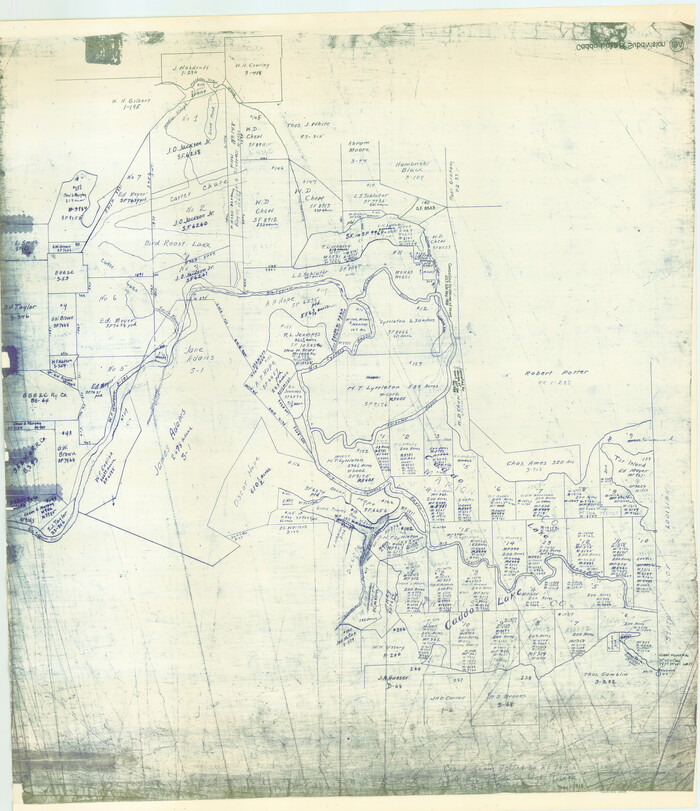
Size: 32.7 x 33.1 inches
1928
Caddo Lake Subdivision, Copied from Sketch in MF 000964
1929.tif
Print $20.00 - Digital $50.00

Caddo Lake Subdivision, Copied from Sketch in MF 000964

1918

Size: 32.5 x 28.0 inches
1929
West Half of Sabine Lake, Jefferson County, showing Subdivision for Mineral Development; do not use; see Map 25a
1930.tif
Print $20.00 - Digital $50.00

West Half of Sabine Lake, Jefferson County, showing Subdivision for Mineral Development; do not use; see Map 25a

1956
Size: 38.2 x 28.4 inches
1930
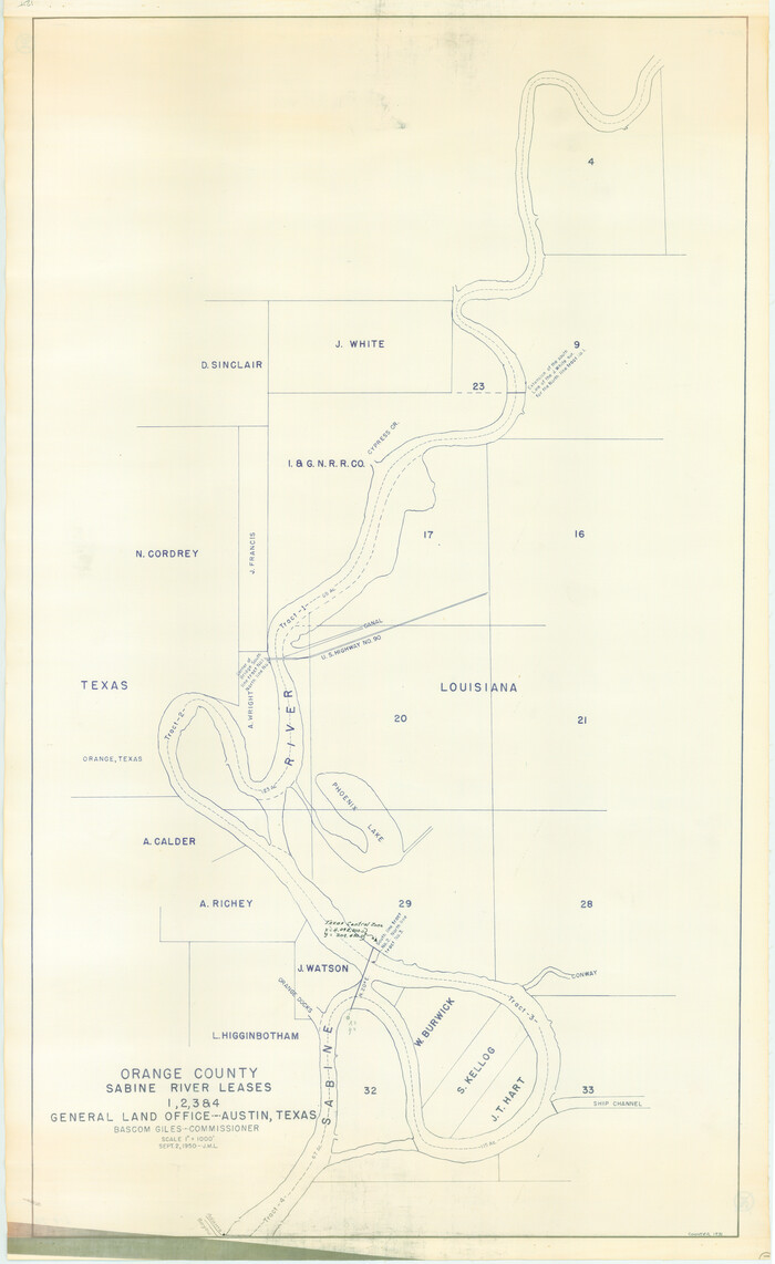
Orange County Sabine River Leases 1,2,3,4
1931.tif
Print $20.00 - Digital $50.00

Orange County Sabine River Leases 1,2,3,4

1950
Size: 36.5 x 22.4 inches
1931
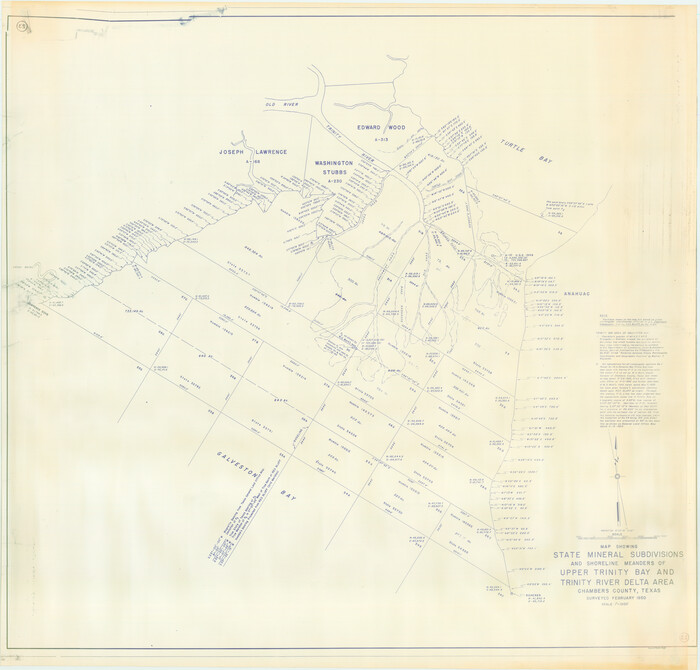
State Mineral Subdivisions and Shoreline Meanders of Upper Trinity Bay and Trinity River Delta Area, Chambers County
1933.tif
Print $20.00 - Digital $50.00

State Mineral Subdivisions and Shoreline Meanders of Upper Trinity Bay and Trinity River Delta Area, Chambers County

1950
Size: 42.8 x 44.7 inches
1933
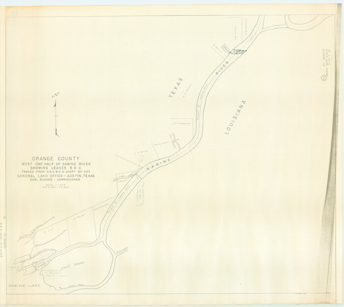
Orange County, West Half of Sabine River Showing Leases 5 and 6
1934.tif
Print $20.00 - Digital $50.00

Orange County, West Half of Sabine River Showing Leases 5 and 6

1957

Size: 30.6 x 34.3 inches
1934
Revised map of west half of Sabine Lake and Sabine Pass, showing subdivision for mineral development; Jefferson and Orange Counties
1935.tif
Print $40.00 - Digital $50.00

Revised map of west half of Sabine Lake and Sabine Pass, showing subdivision for mineral development; Jefferson and Orange Counties

1979

Size: 72.1 x 41.5 inches
1935
Texas Gulf Coast, from the Sabine River to the Rio Grande as Subdivided for Mineral Development; Jefferson, Chambers and Galveston Counties
1937.tif
Print $20.00 - Digital $50.00

Texas Gulf Coast, from the Sabine River to the Rio Grande as Subdivided for Mineral Development; Jefferson, Chambers and Galveston Counties

1976

Size: 29.0 x 42.5 inches
1937
Portions of Galveston and East Bays and the Gulf of Mexico in Galveston County, showing Subdivision for Mineral Development
1904, Portions of Galveston and East Bays and the Gulf of Mexico in Galveston County, showing Subdivision for Mineral Development, General Map Collection
Print $20.00 - Digital $50.00

Portions of Galveston and East Bays and the Gulf of Mexico in Galveston County, showing Subdivision for Mineral Development

1978

  • Size

    38.1 x 25.8 inches

  • Map/Doc

    1904

  • Creation Date

    1978

Galveston, Trinity, and Turtle Bays and Portions of San Jacinto and East Bays in Chambers and Galveston Counties, showing Subdivision for Mineral Development
1905, Galveston, Trinity, and Turtle Bays and Portions of San Jacinto and East Bays in Chambers and Galveston Counties, showing Subdivision for Mineral Development, General Map Collection
Print $20.00 - Digital $50.00

Galveston, Trinity, and Turtle Bays and Portions of San Jacinto and East Bays in Chambers and Galveston Counties, showing Subdivision for Mineral Development

1978

  • Size

    46.0 x 43.9 inches

  • Map/Doc

    1905

  • Creation Date

    1978

East Part of West Bay and Southwest Part of Galveston Bay, Galveston County, showing Subdivision for Mineral Development
1906, East Part of West Bay and Southwest Part of Galveston Bay, Galveston County, showing Subdivision for Mineral Development, General Map Collection
Print $40.00 - Digital $50.00

East Part of West Bay and Southwest Part of Galveston Bay, Galveston County, showing Subdivision for Mineral Development

1963

  • Size

    42.2 x 58.2 inches

  • Map/Doc

    1906

  • Creation Date

    1963

Chocolate Bay, West Portion of West Bay and Vicinity, Brazoria and Galveston Counties, showing Subdivision for Mineral Development
1907, Chocolate Bay, West Portion of West Bay and Vicinity, Brazoria and Galveston Counties, showing Subdivision for Mineral Development, General Map Collection
Print $40.00 - Digital $50.00

Chocolate Bay, West Portion of West Bay and Vicinity, Brazoria and Galveston Counties, showing Subdivision for Mineral Development

1948

  • Size

    40.7 x 53.9 inches

  • Map/Doc

    1907

  • Creation Date

    1948

Drum, Oyster and Bastrop Bays and Vicinity; Brazoria County, showing Subdivision for Mineral Development
1908, Drum, Oyster and Bastrop Bays and Vicinity; Brazoria County, showing Subdivision for Mineral Development, General Map Collection
Print $20.00 - Digital $50.00

Drum, Oyster and Bastrop Bays and Vicinity; Brazoria County, showing Subdivision for Mineral Development

1949

  • Size

    35.4 x 45.4 inches

  • Map/Doc

    1908

  • Creation Date

    1949

East Portion of Matagorda Bay in Matagorda County, showing Subdivision for Mineral Development
1909, East Portion of Matagorda Bay in Matagorda County, showing Subdivision for Mineral Development, General Map Collection
Print $40.00 - Digital $50.00

East Portion of Matagorda Bay in Matagorda County, showing Subdivision for Mineral Development

1949

  • Size

    30.8 x 51.1 inches

  • Map/Doc

    1909

  • Creation Date

    1949

Revised Map of Matagorda Bay and Vicinity in Matagorda and Calhoun Counties, showing Subdivision for Mineral Development
1910, Revised Map of Matagorda Bay and Vicinity in Matagorda and Calhoun Counties, showing Subdivision for Mineral Development, General Map Collection
Print $40.00 - Digital $50.00

Revised Map of Matagorda Bay and Vicinity in Matagorda and Calhoun Counties, showing Subdivision for Mineral Development

1959

  • Size

    43.8 x 57.0 inches

  • Map/Doc

    1910

  • Creation Date

    1959

North Portion of Lavaca Bay and Vicinity, showing Subdivision for Mineral Development
1911, North Portion of Lavaca Bay and Vicinity, showing Subdivision for Mineral Development, General Map Collection
Print $20.00 - Digital $50.00

North Portion of Lavaca Bay and Vicinity, showing Subdivision for Mineral Development

1946

  • Size

    33.8 x 37.1 inches

  • Map/Doc

    1911

  • Creation Date

    1946

San Antonio Bay and Vicinity in Aransas and Calhoun Counties, showing Subdivsion for Mineral Development
1912, San Antonio Bay and Vicinity in Aransas and Calhoun Counties, showing Subdivsion for Mineral Development, General Map Collection
Print $40.00 - Digital $50.00

San Antonio Bay and Vicinity in Aransas and Calhoun Counties, showing Subdivsion for Mineral Development

1948

  • Size

    37.0 x 74.5 inches

  • Map/Doc

    1912

  • Creation Date

    1948

Espiritu Santo Bay, Calhoun County, showing Subdivision for Mineral Development
1913, Espiritu Santo Bay, Calhoun County, showing Subdivision for Mineral Development, General Map Collection
Print $20.00 - Digital $50.00

Espiritu Santo Bay, Calhoun County, showing Subdivision for Mineral Development

1958

  • Size

    20.1 x 28.0 inches

  • Map/Doc

    1913

  • Creation Date

    1958

Copano, St. Charles, Aransas and Red Fish Bays, in Aransas and Nueces Counties, showing Subdivision for Mineral Development
1914, Copano, St. Charles, Aransas and Red Fish Bays, in Aransas and Nueces Counties, showing Subdivision for Mineral Development, General Map Collection
Print $40.00 - Digital $50.00

Copano, St. Charles, Aransas and Red Fish Bays, in Aransas and Nueces Counties, showing Subdivision for Mineral Development

1949

  • Size

    55.9 x 40.0 inches

  • Map/Doc

    1914

  • Creation Date

    1949

Nueces Bay and Adjoining Areas showing submerged Lands
1916, Nueces Bay and Adjoining Areas showing submerged Lands, General Map Collection
Print $40.00 - Digital $50.00

Nueces Bay and Adjoining Areas showing submerged Lands

1946

  • Size

    34.6 x 56.4 inches

  • Map/Doc

    1916

  • Creation Date

    1946

Corpus Christi Bay in Nueces County, showing Subdivision for Mineral Development
1917, Corpus Christi Bay in Nueces County, showing Subdivision for Mineral Development, General Map Collection
Print $40.00 - Digital $50.00

Corpus Christi Bay in Nueces County, showing Subdivision for Mineral Development

1950

  • Size

    48.4 x 36.0 inches

  • Map/Doc

    1917

  • Creation Date

    1950

Mustang Island, Nueces County
1918, Mustang Island, Nueces County, General Map Collection
Print $20.00 - Digital $50.00

Mustang Island, Nueces County

1952

  • Size

    39.5 x 35.4 inches

  • Map/Doc

    1918

  • Creation Date

    1952

State Tracts in East Part of Corpus Christi Bay, surveys on Harbor Island and Corpus Christi Channel, Nueces County
1919, State Tracts in East Part of Corpus Christi Bay, surveys on Harbor Island and Corpus Christi Channel, Nueces County, General Map Collection
Print $40.00 - Digital $50.00

State Tracts in East Part of Corpus Christi Bay, surveys on Harbor Island and Corpus Christi Channel, Nueces County

1957

  • Size

    54.1 x 37.7 inches

  • Map/Doc

    1919

  • Creation Date

    1957

Part of Laguna Madre in Nueces and Kleberg Counties, showing Subdivision for Mineral Development
1921, Part of Laguna Madre in Nueces and Kleberg Counties, showing Subdivision for Mineral Development, General Map Collection
Print $20.00 - Digital $50.00

Part of Laguna Madre in Nueces and Kleberg Counties, showing Subdivision for Mineral Development

1948

  • Size

    42.0 x 30.3 inches

  • Map/Doc

    1921

  • Creation Date

    1948

Part of Laguna Madre in Nueces and Kleberg Counties, showing Subdivision for Mineral Development
1922, Part of Laguna Madre in Nueces and Kleberg Counties, showing Subdivision for Mineral Development, General Map Collection
Print $20.00 - Digital $50.00

Part of Laguna Madre in Nueces and Kleberg Counties, showing Subdivision for Mineral Development

1948

  • Size

    36.9 x 26.6 inches

  • Map/Doc

    1922

  • Creation Date

    1948

Baffin and Alazan Bays, Cayo Infiernillo in Kenedy and Kleberg Counties, showing Subdivision for Mineral Development
1923, Baffin and Alazan Bays, Cayo Infiernillo in Kenedy and Kleberg Counties, showing Subdivision for Mineral Development, General Map Collection
Print $40.00 - Digital $50.00

Baffin and Alazan Bays, Cayo Infiernillo in Kenedy and Kleberg Counties, showing Subdivision for Mineral Development

1949

  • Size

    33.0 x 52.4 inches

  • Map/Doc

    1923

  • Creation Date

    1949

Part of Laguna Madre in Kenedy and Willacy Counties, showing Subdivision for Mineral Development
1924, Part of Laguna Madre in Kenedy and Willacy Counties, showing Subdivision for Mineral Development, General Map Collection
Print $40.00 - Digital $50.00

Part of Laguna Madre in Kenedy and Willacy Counties, showing Subdivision for Mineral Development

1946

  • Size

    49.1 x 30.0 inches

  • Map/Doc

    1924

  • Creation Date

    1946

Part of Laguna Madre in Willacy and Cameron Counties, showing Subdivision for Mineral Development
1925, Part of Laguna Madre in Willacy and Cameron Counties, showing Subdivision for Mineral Development, General Map Collection
Print $20.00 - Digital $50.00

Part of Laguna Madre in Willacy and Cameron Counties, showing Subdivision for Mineral Development

1950

  • Size

    45.1 x 36.8 inches

  • Map/Doc

    1925

  • Creation Date

    1950

Part of Laguna Madre in Cameron County, showing Subdivision for Mineral Development
1926, Part of Laguna Madre in Cameron County, showing Subdivision for Mineral Development, General Map Collection
Print $20.00 - Digital $50.00

Part of Laguna Madre in Cameron County, showing Subdivision for Mineral Development

1963

  • Size

    45.8 x 36.0 inches

  • Map/Doc

    1926

  • Creation Date

    1963

Part of Laguna Madre in Cameron County, showing Subdivision for Mineral Development
1927, Part of Laguna Madre in Cameron County, showing Subdivision for Mineral Development, General Map Collection
Print $20.00 - Digital $50.00

Part of Laguna Madre in Cameron County, showing Subdivision for Mineral Development

1953

  • Size

    33.0 x 21.9 inches

  • Map/Doc

    1927

  • Creation Date

    1953

Sketch of surveys in Harrison & Marion Cos. Showing Caddo Lake & Subdivisions
1928, Sketch of surveys in Harrison & Marion Cos. Showing Caddo Lake & Subdivisions, General Map Collection
Print $20.00 - Digital $50.00

Sketch of surveys in Harrison & Marion Cos. Showing Caddo Lake & Subdivisions

1955

  • Size

    32.7 x 33.1 inches

  • Map/Doc

    1928

  • Creation Date

    1955

Caddo Lake Subdivision, Copied from Sketch in MF 000964
1929, Caddo Lake Subdivision, Copied from Sketch in MF 000964, General Map Collection
Print $20.00 - Digital $50.00

Caddo Lake Subdivision, Copied from Sketch in MF 000964

1918

  • Size

    32.5 x 28.0 inches

  • Map/Doc

    1929

  • Creation Date

    1918

West Half of Sabine Lake, Jefferson County, showing Subdivision for Mineral Development; do not use; see Map 25a
1930, West Half of Sabine Lake, Jefferson County, showing Subdivision for Mineral Development; do not use; see Map 25a, General Map Collection
Print $20.00 - Digital $50.00

West Half of Sabine Lake, Jefferson County, showing Subdivision for Mineral Development; do not use; see Map 25a

1956

  • Size

    38.2 x 28.4 inches

  • Map/Doc

    1930

  • Creation Date

    1956

Orange County Sabine River Leases 1,2,3,4
1931, Orange County Sabine River Leases 1,2,3,4, General Map Collection
Print $20.00 - Digital $50.00

Orange County Sabine River Leases 1,2,3,4

1950

  • Size

    36.5 x 22.4 inches

  • Map/Doc

    1931

  • Creation Date

    1950

State Mineral Subdivisions and Shoreline Meanders of Upper Trinity Bay and Trinity River Delta Area, Chambers County
1933, State Mineral Subdivisions and Shoreline Meanders of Upper Trinity Bay and Trinity River Delta Area, Chambers County, General Map Collection
Print $20.00 - Digital $50.00

State Mineral Subdivisions and Shoreline Meanders of Upper Trinity Bay and Trinity River Delta Area, Chambers County

1950

  • Size

    42.8 x 44.7 inches

  • Map/Doc

    1933

  • Creation Date

    1950

Orange County, West Half of Sabine River Showing Leases 5 and 6
1934, Orange County, West Half of Sabine River Showing Leases 5 and 6, General Map Collection
Print $20.00 - Digital $50.00

Orange County, West Half of Sabine River Showing Leases 5 and 6

1957

  • Size

    30.6 x 34.3 inches

  • Map/Doc

    1934

  • Creation Date

    1957

Revised map of west half of Sabine Lake and Sabine Pass, showing subdivision for mineral development; Jefferson and Orange Counties
1935, Revised Map of West Half of Sabine Lake, showing Subdivision for Mineral Development; Jefferson and Orange Counties, General Map Collection
Print $40.00 - Digital $50.00

Revised map of west half of Sabine Lake and Sabine Pass, showing subdivision for mineral development; Jefferson and Orange Counties

1979

  • Size

    72.1 x 41.5 inches

  • Map/Doc

    1935

  • Creation Date

    1979

Texas Gulf Coast, from the Sabine River to the Rio Grande as Subdivided for Mineral Development; Jefferson, Chambers and Galveston Counties
1937, Texas Gulf Coast, from the Sabine River to the Rio Grande as Subdivided for Mineral Development; Jefferson, Chambers and Galveston Counties, General Map Collection
Print $20.00 - Digital $50.00

Texas Gulf Coast, from the Sabine River to the Rio Grande as Subdivided for Mineral Development; Jefferson, Chambers and Galveston Counties

1976

  • Size

    29.0 x 42.5 inches

  • Map/Doc

    1937

  • Creation Date

    1976