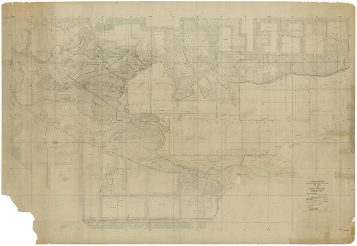
[Subdivision of Nueces Bay and list of Court Decrees]
1940
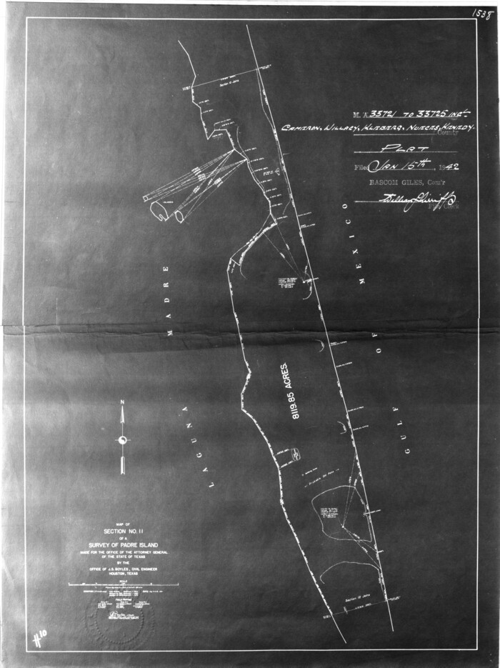
[Sketch for Mineral Application 33721 - 33725 Incl. - Padre and Mustang Island]
1942
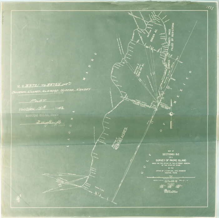
[Sketch for Mineral Application 33721 - 33725 Incl. - Padre and Mustang Island]
1942
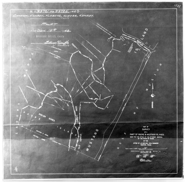
[Sketch for Mineral Application 33721 - 33725 Incl. - Padre and Mustang Island]
1942
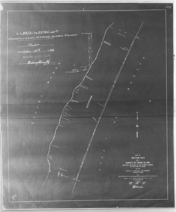
[Sketch for Mineral Application 33721 - 33725 Incl. - Padre and Mustang Island]
1942
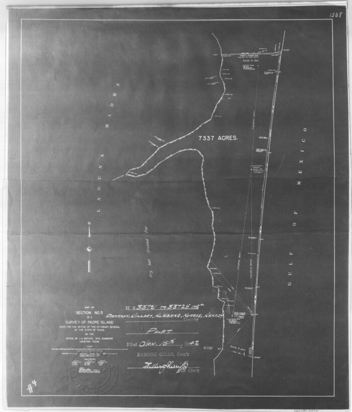
[Sketch for Mineral Application 33721 - 33725 Incl. - Padre and Mustang Island]
1942
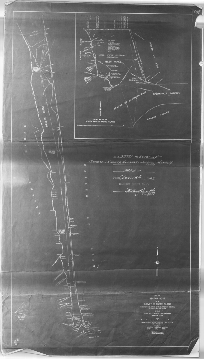
[Sketch for Mineral Application 33721 - 33725 Incl. - Padre and Mustang Island]
1941
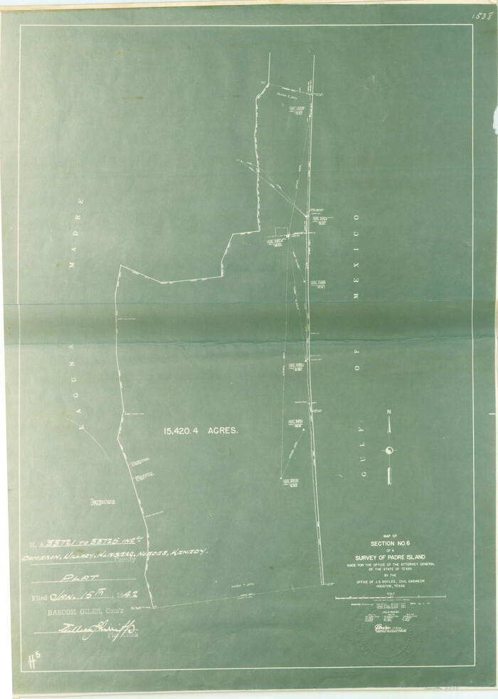
[Sketch for Mineral Application 33721 - 33725 Incl. - Padre and Mustang Island]
1942
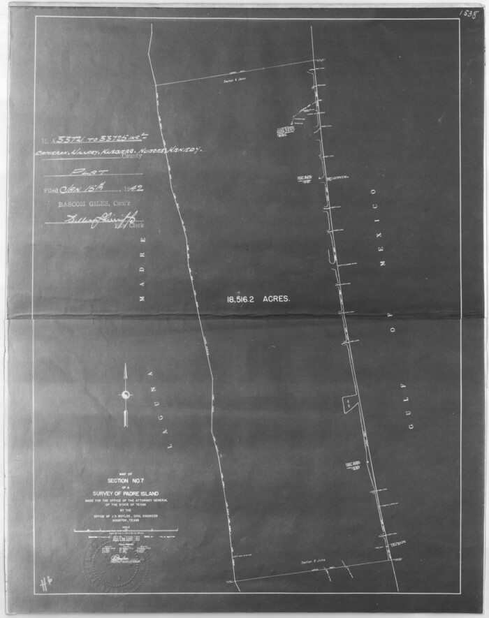
[Sketch for Mineral Application 33721 - 33725 Incl. - Padre and Mustang Island]
1942
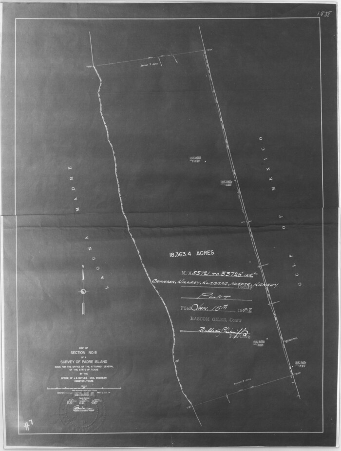
[Sketch for Mineral Application 33721 - 33725 Incl. - Padre and Mustang Island]
1942

[Sketch for Mineral Application 33721 - 33725 Incl. - Padre and Mustang Island]
1942
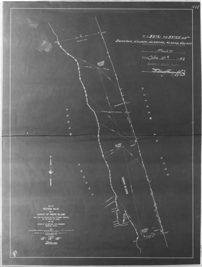
[Sketch for Mineral Application 33721 - 33725 Incl. - Padre and Mustang Island]
1942
[Sketch for Mineral Application 33721 - 33725 Incl. - Padre and Mustang Island]

[Sketch for Mineral Application 31137 - Colorado River, W. A. Wagner]
1928

[Sketch for Mineral Application 31137 - Colorado River, W. A. Wagner]
1928

[Sketch for Mineral Application 27670 - Strip between Simon Sanchez leagues and Trinity River]
1934

[Sketch for Mineral Application 27670 - Strip between Simon Sanchez leagues and Trinity River]
1934
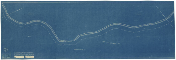
[Sketch for Mineral Application 27670 - Strip between Simon Sanchez leagues and Trinity River]
1934
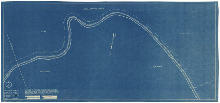
[Sketch for Mineral Application 27670 - Strip between Simon Sanchez leagues and Trinity River]
1934

[Sketch for Mineral Application 27670 - Strip between Simon Sanchez leagues and Trinity River]

[Sketch for Mineral Application 27670 - Strip between Simon Sanchez leagues and Trinity River]
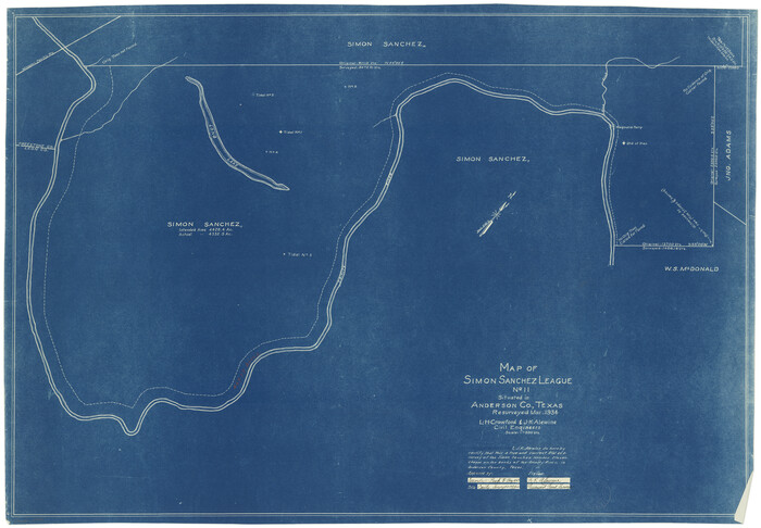
[Sketch for Mineral Application 27669 - Trinity River, Frank R. Graves]
1934
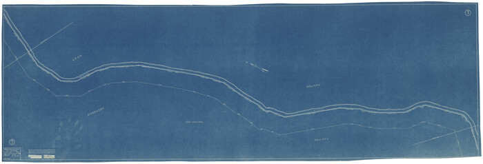
[Sketch for Mineral Application 27669 - Trinity River, Frank R. Graves]
1934
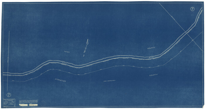
[Sketch for Mineral Application 27669 - Trinity River, Frank R. Graves]
1934
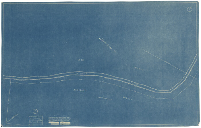
[Sketch for Mineral Application 27669 - Trinity River, Frank R. Graves]
1934
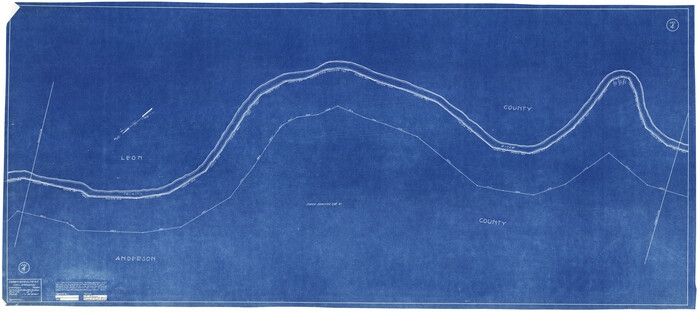
[Sketch for Mineral Application 27669 - Trinity River, Frank R. Graves]
1934
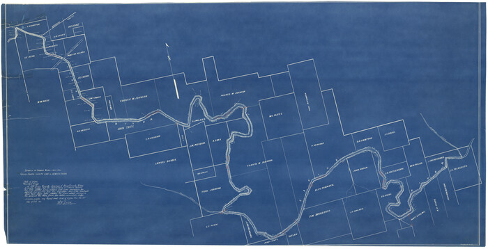
[Sketch for Mineral Application 26649-26650 - Sabine River, Harry A. Wolan]
1931
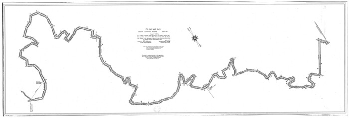
[Sketch for Mineral Application 26546 - Sabine River between Hawkins Creek and east boundary line of BBB&C RR Co. Surveys, R. S. Rathke]
1931
[Sketch for Mineral Application 26546 - Sabine River between Hawkins Creek and east boundary line of BBB&C RR Co. Surveys, R. S. Rathke]
1931
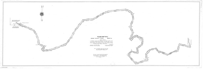
[Sketch for Mineral Application 26542 - Sabine River between Prairie and Hawkins Creek, F. B. Jackson, Jr.]
1931
![2086, [Subdivision of Nueces Bay and list of Court Decrees], General Map Collection](https://historictexasmaps.com/wmedia_w700/maps/2086-1.tif.jpg)
[Subdivision of Nueces Bay and list of Court Decrees]
1940
-
Size
34.2 x 48.8 inches
-
Map/Doc
2086
-
Creation Date
1940
![2868, [Sketch for Mineral Application 33721 - 33725 Incl. - Padre and Mustang Island], General Map Collection](https://historictexasmaps.com/wmedia_w700/maps/2868.tif.jpg)
[Sketch for Mineral Application 33721 - 33725 Incl. - Padre and Mustang Island]
1942
-
Size
29.7 x 22.3 inches
-
Map/Doc
2868
-
Creation Date
1942
![2869, [Sketch for Mineral Application 33721 - 33725 Incl. - Padre and Mustang Island], General Map Collection](https://historictexasmaps.com/wmedia_w700/maps/2869.tif.jpg)
[Sketch for Mineral Application 33721 - 33725 Incl. - Padre and Mustang Island]
1942
-
Size
22.2 x 22.3 inches
-
Map/Doc
2869
-
Creation Date
1942
![2870, [Sketch for Mineral Application 33721 - 33725 Incl. - Padre and Mustang Island], General Map Collection](https://historictexasmaps.com/wmedia_w700/maps/2870.tif.jpg)
[Sketch for Mineral Application 33721 - 33725 Incl. - Padre and Mustang Island]
1942
-
Size
22.1 x 22.4 inches
-
Map/Doc
2870
-
Creation Date
1942
![2871, [Sketch for Mineral Application 33721 - 33725 Incl. - Padre and Mustang Island], General Map Collection](https://historictexasmaps.com/wmedia_w700/maps/2871.tif.jpg)
[Sketch for Mineral Application 33721 - 33725 Incl. - Padre and Mustang Island]
1942
-
Size
27.0 x 22.4 inches
-
Map/Doc
2871
-
Creation Date
1942
![2873, [Sketch for Mineral Application 33721 - 33725 Incl. - Padre and Mustang Island], General Map Collection](https://historictexasmaps.com/wmedia_w700/maps/2873.tif.jpg)
[Sketch for Mineral Application 33721 - 33725 Incl. - Padre and Mustang Island]
1942
-
Size
26.6 x 22.7 inches
-
Map/Doc
2873
-
Creation Date
1942
![2874, [Sketch for Mineral Application 33721 - 33725 Incl. - Padre and Mustang Island], General Map Collection](https://historictexasmaps.com/wmedia_w700/maps/2874.tif.jpg)
[Sketch for Mineral Application 33721 - 33725 Incl. - Padre and Mustang Island]
1941
-
Size
40.2 x 22.8 inches
-
Map/Doc
2874
-
Creation Date
1941
![2875, [Sketch for Mineral Application 33721 - 33725 Incl. - Padre and Mustang Island], General Map Collection](https://historictexasmaps.com/wmedia_w700/maps/2875.tif.jpg)
[Sketch for Mineral Application 33721 - 33725 Incl. - Padre and Mustang Island]
1942
-
Size
30.9 x 22.0 inches
-
Map/Doc
2875
-
Creation Date
1942
![2876, [Sketch for Mineral Application 33721 - 33725 Incl. - Padre and Mustang Island], General Map Collection](https://historictexasmaps.com/wmedia_w700/maps/2876.tif.jpg)
[Sketch for Mineral Application 33721 - 33725 Incl. - Padre and Mustang Island]
1942
-
Size
29.1 x 23.0 inches
-
Map/Doc
2876
-
Creation Date
1942
![2877, [Sketch for Mineral Application 33721 - 33725 Incl. - Padre and Mustang Island], General Map Collection](https://historictexasmaps.com/wmedia_w700/maps/2877.tif.jpg)
[Sketch for Mineral Application 33721 - 33725 Incl. - Padre and Mustang Island]
1942
-
Size
29.8 x 22.6 inches
-
Map/Doc
2877
-
Creation Date
1942
![2878, [Sketch for Mineral Application 33721 - 33725 Incl. - Padre and Mustang Island], General Map Collection](https://historictexasmaps.com/wmedia_w700/maps/2878.tif.jpg)
[Sketch for Mineral Application 33721 - 33725 Incl. - Padre and Mustang Island]
1942
-
Size
29.8 x 22.7 inches
-
Map/Doc
2878
-
Creation Date
1942
![2879, [Sketch for Mineral Application 33721 - 33725 Incl. - Padre and Mustang Island], General Map Collection](https://historictexasmaps.com/wmedia_w700/maps/2879.tif.jpg)
[Sketch for Mineral Application 33721 - 33725 Incl. - Padre and Mustang Island]
1942
-
Size
29.4 x 22.2 inches
-
Map/Doc
2879
-
Creation Date
1942
![65664, [Sketch for Mineral Application 33721 - 33725 Incl. - Padre and Mustang Island], General Map Collection](https://historictexasmaps.com/wmedia_w700/maps/65664.tif.jpg)
[Sketch for Mineral Application 33721 - 33725 Incl. - Padre and Mustang Island]
-
Size
42.3 x 22.6 inches
-
Map/Doc
65664
![65633, [Sketch for Mineral Application 31137 - Colorado River, W. A. Wagner], General Map Collection](https://historictexasmaps.com/wmedia_w700/maps/65633.tif.jpg)
[Sketch for Mineral Application 31137 - Colorado River, W. A. Wagner]
1928
-
Size
39.6 x 126.4 inches
-
Map/Doc
65633
-
Creation Date
1928
![65634, [Sketch for Mineral Application 31137 - Colorado River, W. A. Wagner], General Map Collection](https://historictexasmaps.com/wmedia_w700/maps/65634.tif.jpg)
[Sketch for Mineral Application 31137 - Colorado River, W. A. Wagner]
1928
-
Size
39.6 x 126.2 inches
-
Map/Doc
65634
-
Creation Date
1928
![2862, [Sketch for Mineral Application 27670 - Strip between Simon Sanchez leagues and Trinity River], General Map Collection](https://historictexasmaps.com/wmedia_w700/maps/2862-1.tif.jpg)
[Sketch for Mineral Application 27670 - Strip between Simon Sanchez leagues and Trinity River]
1934
-
Size
25.7 x 39.9 inches
-
Map/Doc
2862
-
Creation Date
1934
![2864, [Sketch for Mineral Application 27670 - Strip between Simon Sanchez leagues and Trinity River], General Map Collection](https://historictexasmaps.com/wmedia_w700/maps/2864-1.tif.jpg)
[Sketch for Mineral Application 27670 - Strip between Simon Sanchez leagues and Trinity River]
1934
-
Size
17.2 x 31.7 inches
-
Map/Doc
2864
-
Creation Date
1934
![2865, [Sketch for Mineral Application 27670 - Strip between Simon Sanchez leagues and Trinity River], General Map Collection](https://historictexasmaps.com/wmedia_w700/maps/2865-1.tif.jpg)
[Sketch for Mineral Application 27670 - Strip between Simon Sanchez leagues and Trinity River]
1934
-
Size
17.3 x 50.5 inches
-
Map/Doc
2865
-
Creation Date
1934
![2866, [Sketch for Mineral Application 27670 - Strip between Simon Sanchez leagues and Trinity River], General Map Collection](https://historictexasmaps.com/wmedia_w700/maps/2866-1.tif.jpg)
[Sketch for Mineral Application 27670 - Strip between Simon Sanchez leagues and Trinity River]
1934
-
Size
17.3 x 36.7 inches
-
Map/Doc
2866
-
Creation Date
1934
![65645, [Sketch for Mineral Application 27670 - Strip between Simon Sanchez leagues and Trinity River], General Map Collection](https://historictexasmaps.com/wmedia_w700/maps/65645.tif.jpg)
[Sketch for Mineral Application 27670 - Strip between Simon Sanchez leagues and Trinity River]
-
Size
17.5 x 55.2 inches
-
Map/Doc
65645
![65646, [Sketch for Mineral Application 27670 - Strip between Simon Sanchez leagues and Trinity River], General Map Collection](https://historictexasmaps.com/wmedia_w700/maps/65646.tif.jpg)
[Sketch for Mineral Application 27670 - Strip between Simon Sanchez leagues and Trinity River]
-
Size
55.5 x 17.8 inches
-
Map/Doc
65646
![2856, [Sketch for Mineral Application 27669 - Trinity River, Frank R. Graves], General Map Collection](https://historictexasmaps.com/wmedia_w700/maps/2856-1.tif.jpg)
[Sketch for Mineral Application 27669 - Trinity River, Frank R. Graves]
1934
-
Size
24.9 x 36.0 inches
-
Map/Doc
2856
-
Creation Date
1934
![2858, [Sketch for Mineral Application 27669 - Trinity River, Frank R. Graves], General Map Collection](https://historictexasmaps.com/wmedia_w700/maps/2858-1.tif.jpg)
[Sketch for Mineral Application 27669 - Trinity River, Frank R. Graves]
1934
-
Size
28.3 x 83.2 inches
-
Map/Doc
2858
-
Creation Date
1934
![2859, [Sketch for Mineral Application 27669 - Trinity River, Frank R. Graves], General Map Collection](https://historictexasmaps.com/wmedia_w700/maps/2859-1.tif.jpg)
[Sketch for Mineral Application 27669 - Trinity River, Frank R. Graves]
1934
-
Size
27.9 x 51.7 inches
-
Map/Doc
2859
-
Creation Date
1934
![2860, [Sketch for Mineral Application 27669 - Trinity River, Frank R. Graves], General Map Collection](https://historictexasmaps.com/wmedia_w700/maps/2860-1.tif.jpg)
[Sketch for Mineral Application 27669 - Trinity River, Frank R. Graves]
1934
-
Size
27.4 x 42.7 inches
-
Map/Doc
2860
-
Creation Date
1934
![2861, [Sketch for Mineral Application 27669 - Trinity River, Frank R. Graves], General Map Collection](https://historictexasmaps.com/wmedia_w700/maps/2861-1.tif.jpg)
[Sketch for Mineral Application 27669 - Trinity River, Frank R. Graves]
1934
-
Size
27.4 x 61.6 inches
-
Map/Doc
2861
-
Creation Date
1934
![2852, [Sketch for Mineral Application 26649-26650 - Sabine River, Harry A. Wolan], General Map Collection](https://historictexasmaps.com/wmedia_w700/maps/2852-1.tif.jpg)
[Sketch for Mineral Application 26649-26650 - Sabine River, Harry A. Wolan]
1931
-
Size
36.9 x 72.2 inches
-
Map/Doc
2852
-
Creation Date
1931
![65665, [Sketch for Mineral Application 26546 - Sabine River between Hawkins Creek and east boundary line of BBB&C RR Co. Surveys, R. S. Rathke], General Map Collection](https://historictexasmaps.com/wmedia_w700/maps/65665.tif.jpg)
[Sketch for Mineral Application 26546 - Sabine River between Hawkins Creek and east boundary line of BBB&C RR Co. Surveys, R. S. Rathke]
1931
-
Size
25.5 x 75.1 inches
-
Map/Doc
65665
-
Creation Date
1931
![65666, [Sketch for Mineral Application 26546 - Sabine River between Hawkins Creek and east boundary line of BBB&C RR Co. Surveys, R. S. Rathke], General Map Collection](https://historictexasmaps.com/wmedia_w700/maps/65666.tif.jpg)
[Sketch for Mineral Application 26546 - Sabine River between Hawkins Creek and east boundary line of BBB&C RR Co. Surveys, R. S. Rathke]
1931
-
Size
74.9 x 26.3 inches
-
Map/Doc
65666
-
Creation Date
1931
![65669, [Sketch for Mineral Application 26542 - Sabine River between Prairie and Hawkins Creek, F. B. Jackson, Jr.], General Map Collection](https://historictexasmaps.com/wmedia_w700/maps/65669.tif.jpg)
[Sketch for Mineral Application 26542 - Sabine River between Prairie and Hawkins Creek, F. B. Jackson, Jr.]
1931
-
Size
22.0 x 64.0 inches
-
Map/Doc
65669
-
Creation Date
1931