[Sketch for Mineral Application 26542 - Sabine River between Prairie and Hawkins Creek, F. B. Jackson, Jr.]
K-1-10
-
Map/Doc
65669
-
Collection
General Map Collection
-
Object Dates
1931 (Creation Date)
-
Counties
Gregg
-
Subjects
Energy Offshore Submerged Area
-
Height x Width
22.0 x 64.0 inches
55.9 x 162.6 cm
Part of: General Map Collection
Victoria County Sketch File 9


Print $8.00
- Digital $50.00
Victoria County Sketch File 9
1938
Size 14.3 x 8.8 inches
Map/Doc 39530
Caldwell County Sketch File 4

Print $8.00
- Digital $50.00
Caldwell County Sketch File 4
Size 8.8 x 6.9 inches
Map/Doc 35831
Dallam County Sketch File 1


Print $22.00
- Digital $50.00
Dallam County Sketch File 1
1885
Size 29.5 x 27.1 inches
Map/Doc 11277
Montgomery County Working Sketch 34


Print $20.00
- Digital $50.00
Montgomery County Working Sketch 34
1952
Size 43.0 x 35.8 inches
Map/Doc 71141
A Map of Part of Matagorda Peninsula, State of Texas


Print $40.00
- Digital $50.00
A Map of Part of Matagorda Peninsula, State of Texas
1856
Size 34.4 x 54.2 inches
Map/Doc 69980
Goliad County Sketch File 38

Print $4.00
- Digital $50.00
Goliad County Sketch File 38
1859
Size 13.0 x 8.1 inches
Map/Doc 24338
Hudspeth County Sketch File 50

Print $20.00
- Digital $50.00
Hudspeth County Sketch File 50
Size 11.2 x 8.7 inches
Map/Doc 42948
Fractional Township No. 9 South Range No. 23 East of the Indian Meridian, Indian Territory

Print $20.00
- Digital $50.00
Fractional Township No. 9 South Range No. 23 East of the Indian Meridian, Indian Territory
1898
Size 19.2 x 24.4 inches
Map/Doc 75240
Montague County Rolled Sketch 5
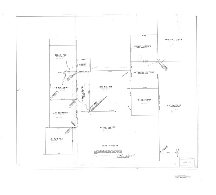

Print $20.00
- Digital $50.00
Montague County Rolled Sketch 5
Size 27.3 x 30.2 inches
Map/Doc 6789
Kerr County Working Sketch 14
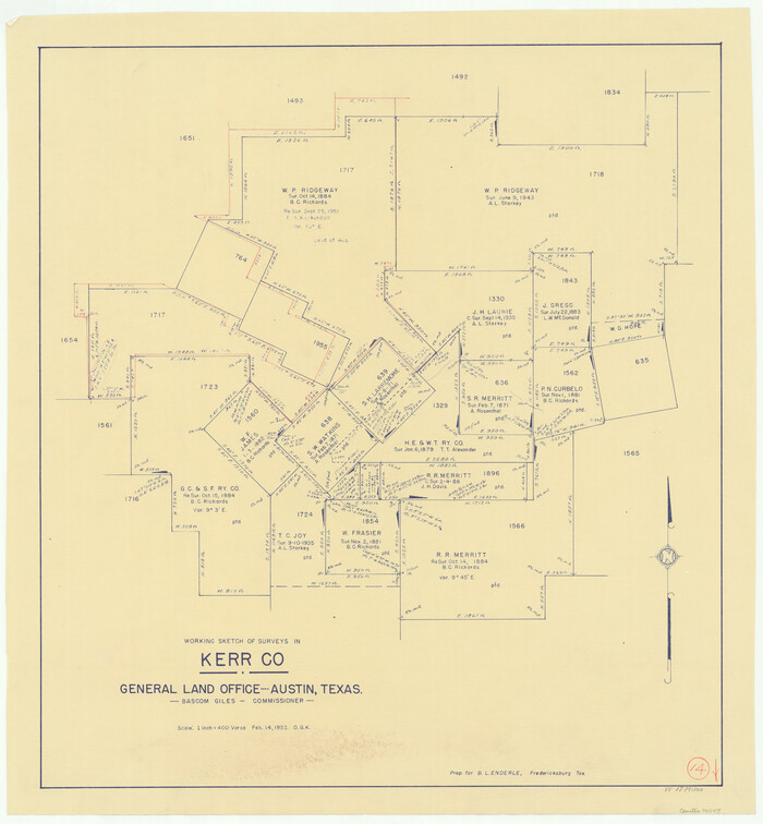

Print $20.00
- Digital $50.00
Kerr County Working Sketch 14
1952
Size 26.5 x 24.5 inches
Map/Doc 70045
Marion County Working Sketch 31
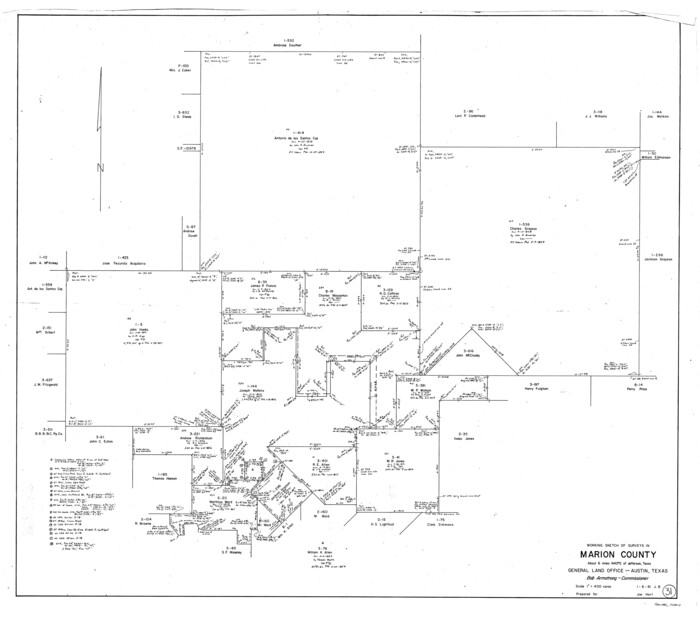

Print $20.00
- Digital $50.00
Marion County Working Sketch 31
1981
Size 35.4 x 40.0 inches
Map/Doc 70807
You may also like
Haskell County Rolled Sketch 5
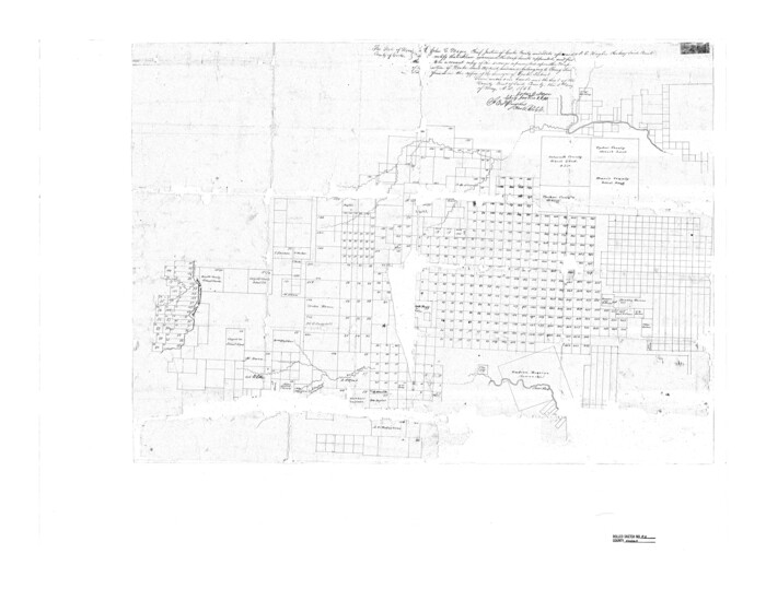

Print $20.00
- Digital $50.00
Haskell County Rolled Sketch 5
1858
Size 30.0 x 39.0 inches
Map/Doc 6165
"Old Three Hundred" Land Grants under Austin's First Contract


"Old Three Hundred" Land Grants under Austin's First Contract
2023
Size 8.5 x 11.0 inches
Map/Doc 97185
Lavaca County Sketch File 8


Print $6.00
- Digital $50.00
Lavaca County Sketch File 8
1882
Size 10.7 x 10.3 inches
Map/Doc 29644
Harris County Rolled Sketch 72
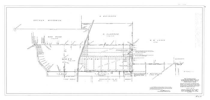

Print $40.00
- Digital $50.00
Harris County Rolled Sketch 72
1945
Size 23.0 x 48.3 inches
Map/Doc 9132
Maverick County Working Sketch 11


Print $20.00
- Digital $50.00
Maverick County Working Sketch 11
1965
Size 41.4 x 35.8 inches
Map/Doc 70903
Flight Mission No. BQY-4M, Frame 39, Harris County


Print $20.00
- Digital $50.00
Flight Mission No. BQY-4M, Frame 39, Harris County
1953
Size 18.6 x 22.3 inches
Map/Doc 85254
Hutchinson County, 1922


Print $20.00
- Digital $50.00
Hutchinson County, 1922
1922
Size 36.4 x 43.7 inches
Map/Doc 89700
San Luis Pass to East Matagorda Bay
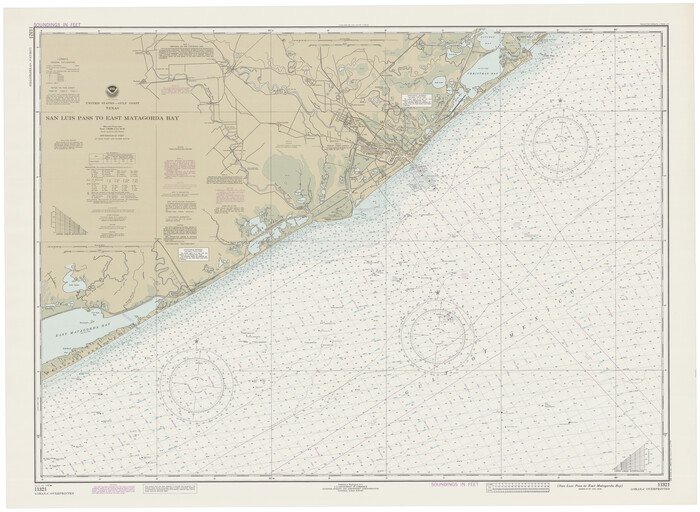

Print $40.00
- Digital $50.00
San Luis Pass to East Matagorda Bay
1982
Size 35.6 x 49.3 inches
Map/Doc 69970
Chambers County Working Sketch 17
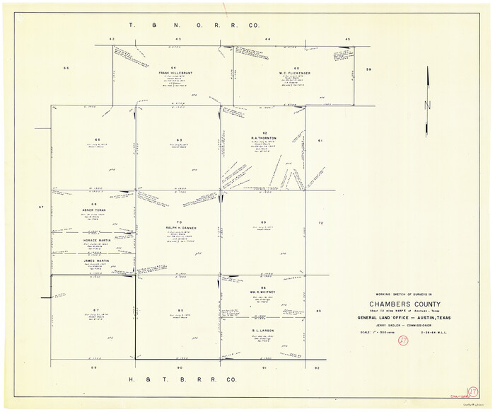

Print $20.00
- Digital $50.00
Chambers County Working Sketch 17
1964
Size 30.6 x 37.0 inches
Map/Doc 68000
![65669, [Sketch for Mineral Application 26542 - Sabine River between Prairie and Hawkins Creek, F. B. Jackson, Jr.], General Map Collection](https://historictexasmaps.com/wmedia_w1800h1800/maps/65669.tif.jpg)
