
Gregg County Sketch File 7
1931
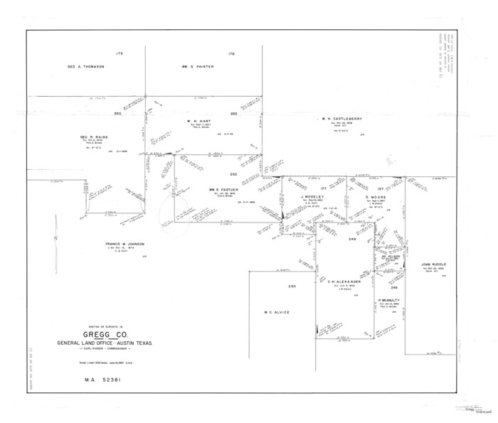
Gregg County Rolled Sketch 21
1957
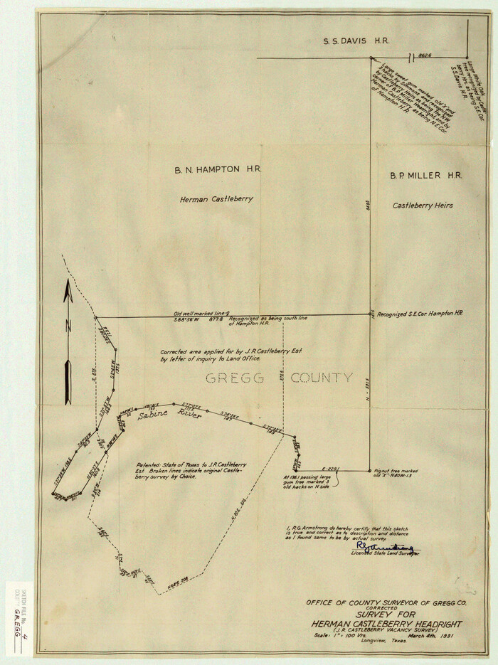
Gregg County Sketch File 4
1931
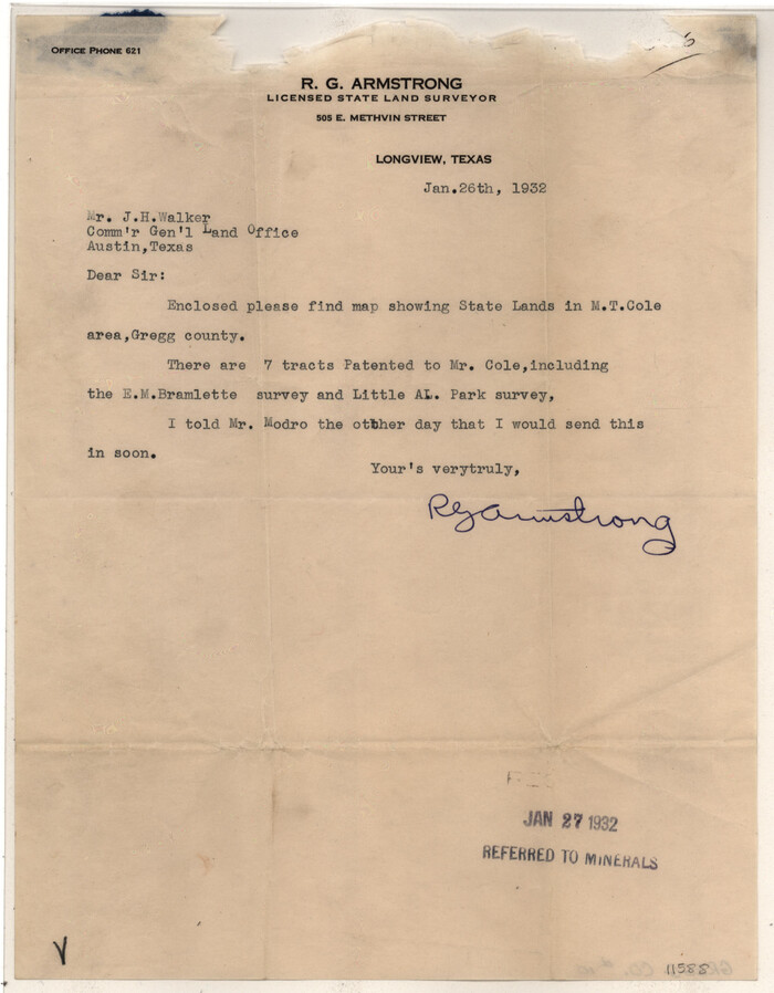
Gregg County Sketch File 10
1932

Gregg County Sketch File 12

Upshur County Sketch File 13A
1936

Upshur County Sketch File 13B
1936

Upshur County Sketch File 15
1934

Upshur County Sketch File 19
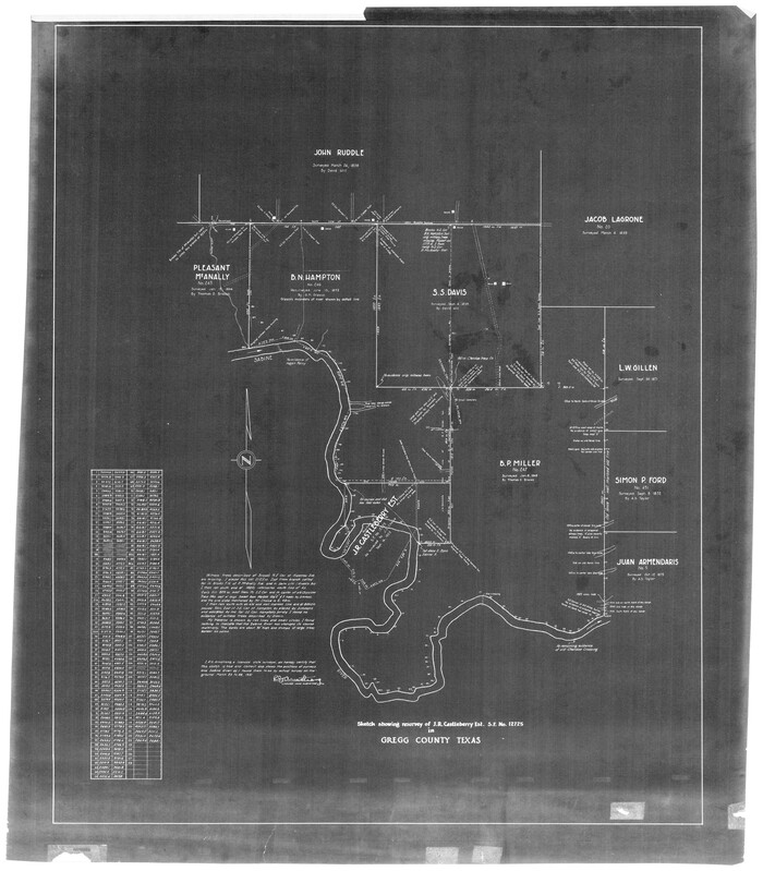
Sketch of Resurvey of J. R. Castlebury Est., SF 12725 in Gregg County
1931

Gregg County Sketch File 1A
1847

Gregg County Sketch File 1B
1848

Gregg County Sketch File 1C
1847
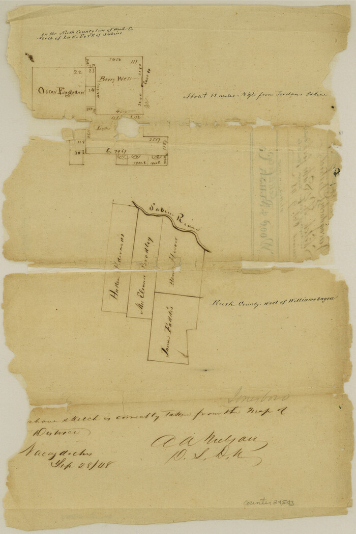
Gregg County Sketch File 1D
1848

Gregg County Sketch File 1E
1849

Gregg County Sketch File 1F
1850

Gregg County Sketch File 1G

Gregg County Sketch File 1H

Gregg County Sketch File 1
1872
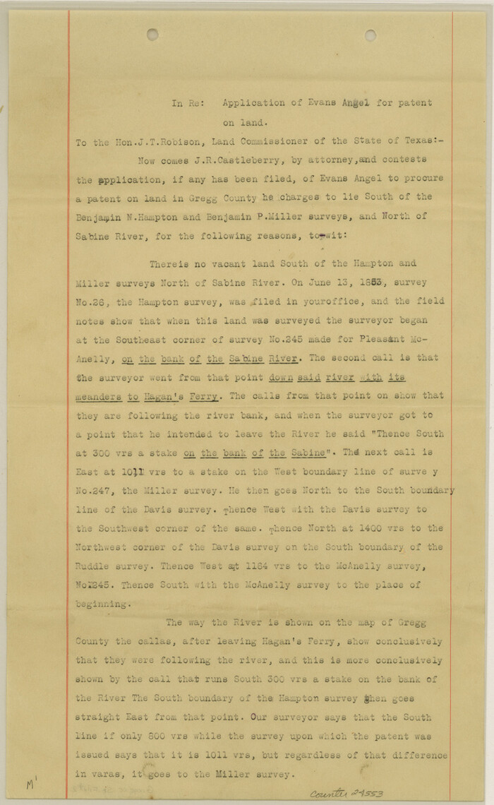
Gregg County Sketch File 2
1921

Gregg County Sketch File 2a
1847
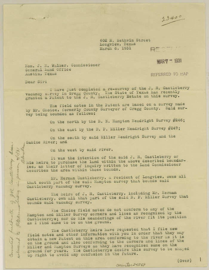
Gregg County Sketch File 3
1931

Gregg County Sketch File 4a
1848
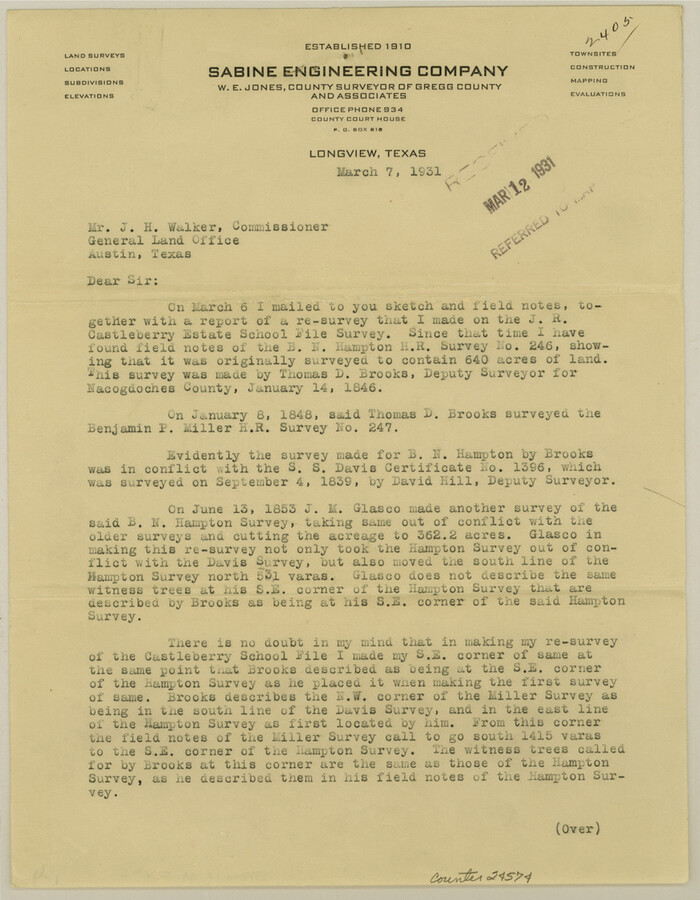
Gregg County Sketch File 5
1931

Gregg County Sketch File 6
1931
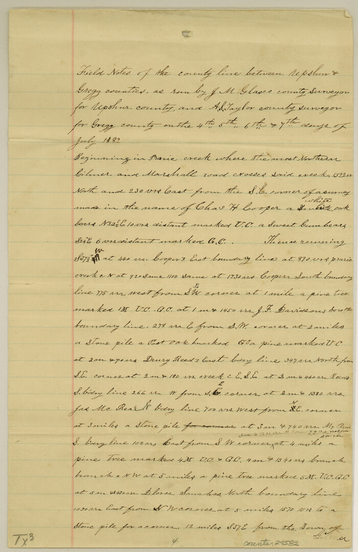
Gregg County Sketch File 8
1931

Gregg County Sketch File 9
1931

Gregg County Sketch File 11
1933

Gregg County Sketch File 13
1934
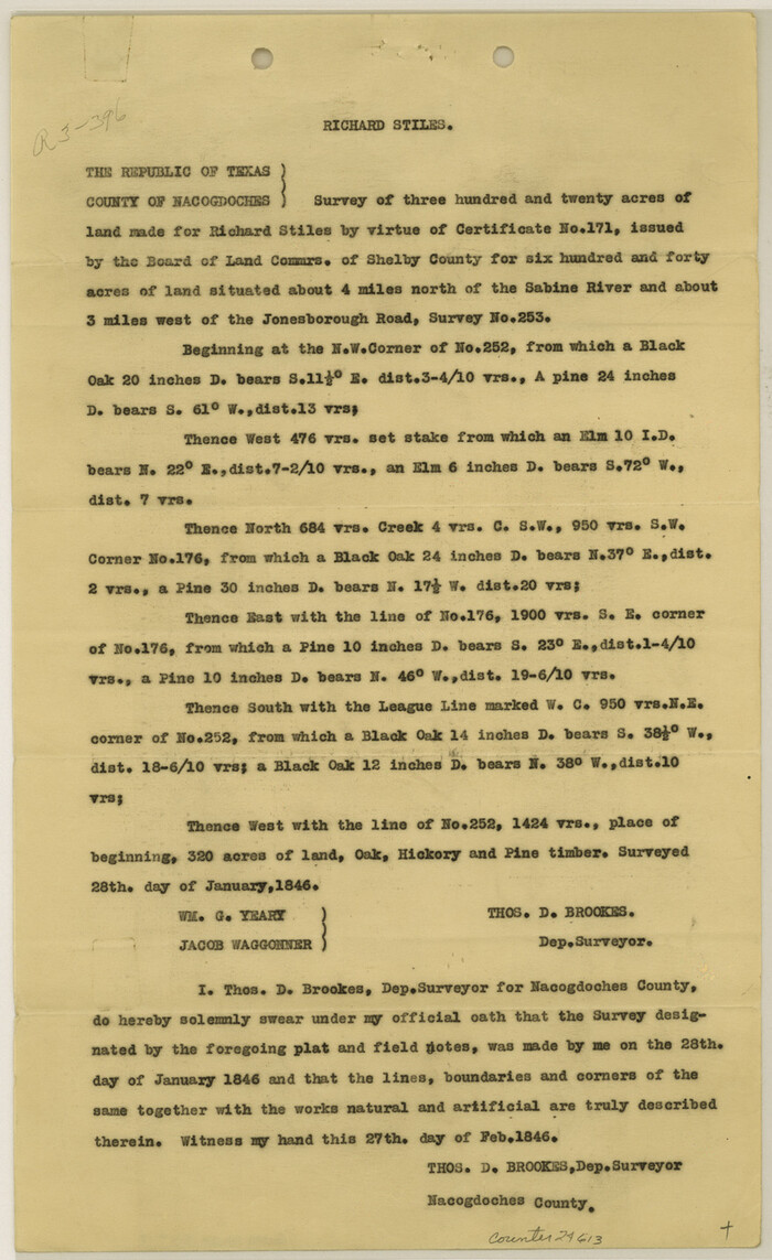
Gregg County Sketch File 14
1946

Gregg County Sketch File 7
1931
-
Size
42.9 x 34.8 inches
-
Map/Doc
10466
-
Creation Date
1931

Gregg County Rolled Sketch 21
1957
-
Size
34.4 x 40.4 inches
-
Map/Doc
10650
-
Creation Date
1957

Gregg County Sketch File 4
1931
-
Size
22.1 x 16.6 inches
-
Map/Doc
11586
-
Creation Date
1931

Gregg County Sketch File 10
1932
-
Size
35.1 x 26.0 inches
-
Map/Doc
11588
-
Creation Date
1932

Gregg County Sketch File 12
-
Size
17.3 x 24.1 inches
-
Map/Doc
11589

Upshur County Sketch File 13A
1936
-
Size
20.5 x 32.4 inches
-
Map/Doc
12503
-
Creation Date
1936

Upshur County Sketch File 13B
1936
-
Size
20.5 x 32.3 inches
-
Map/Doc
12504
-
Creation Date
1936

Upshur County Sketch File 15
1934
-
Size
20.7 x 31.2 inches
-
Map/Doc
12505
-
Creation Date
1934

Upshur County Sketch File 19
-
Size
17.9 x 22.2 inches
-
Map/Doc
12507

Sketch of Resurvey of J. R. Castlebury Est., SF 12725 in Gregg County
1931
-
Size
38.6 x 33.3 inches
-
Map/Doc
2039
-
Creation Date
1931

Gregg County Sketch File 1A
1847
-
Size
8.3 x 7.6 inches
-
Map/Doc
24535
-
Creation Date
1847

Gregg County Sketch File 1B
1848
-
Size
12.8 x 8.4 inches
-
Map/Doc
24538
-
Creation Date
1848

Gregg County Sketch File 1C
1847
-
Size
7.8 x 11.6 inches
-
Map/Doc
24540
-
Creation Date
1847

Gregg County Sketch File 1D
1848
-
Size
12.7 x 8.5 inches
-
Map/Doc
24543
-
Creation Date
1848

Gregg County Sketch File 1E
1849
-
Size
12.6 x 8.2 inches
-
Map/Doc
24545
-
Creation Date
1849

Gregg County Sketch File 1F
1850
-
Size
12.2 x 7.8 inches
-
Map/Doc
24547
-
Creation Date
1850

Gregg County Sketch File 1G
-
Size
6.2 x 7.0 inches
-
Map/Doc
24549

Gregg County Sketch File 1H
-
Size
5.8 x 5.4 inches
-
Map/Doc
24550

Gregg County Sketch File 1
1872
-
Size
8.0 x 10.1 inches
-
Map/Doc
24551
-
Creation Date
1872

Gregg County Sketch File 2
1921
-
Size
14.2 x 8.7 inches
-
Map/Doc
24553
-
Creation Date
1921

Gregg County Sketch File 2a
1847
-
Size
10.1 x 15.9 inches
-
Map/Doc
24566
-
Creation Date
1847

Gregg County Sketch File 3
1931
-
Size
11.2 x 8.7 inches
-
Map/Doc
24569
-
Creation Date
1931

Gregg County Sketch File 4a
1848
-
Size
12.7 x 8.1 inches
-
Map/Doc
24572
-
Creation Date
1848

Gregg County Sketch File 5
1931
-
Size
11.2 x 8.7 inches
-
Map/Doc
24574
-
Creation Date
1931

Gregg County Sketch File 6
1931
-
Size
11.2 x 8.8 inches
-
Map/Doc
24577
-
Creation Date
1931

Gregg County Sketch File 8
1931
-
Size
12.9 x 8.3 inches
-
Map/Doc
24582
-
Creation Date
1931

Gregg County Sketch File 9
1931
-
Size
11.1 x 8.7 inches
-
Map/Doc
24586
-
Creation Date
1931

Gregg County Sketch File 11
1933
-
Size
14.4 x 8.9 inches
-
Map/Doc
24591
-
Creation Date
1933

Gregg County Sketch File 13
1934
-
Size
13.9 x 8.7 inches
-
Map/Doc
24597
-
Creation Date
1934

Gregg County Sketch File 14
1946
-
Size
14.3 x 8.8 inches
-
Map/Doc
24613
-
Creation Date
1946