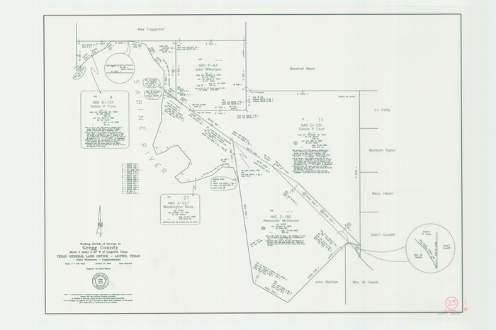
Gregg County Working Sketch 25
2006

Upshur County Working Sketch 15b
1996
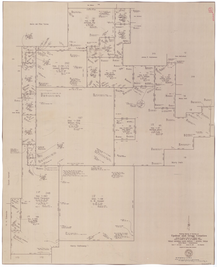
Upshur County Working Sketch 15a
1996

Upshur County Working Sketch 15, revised
1996
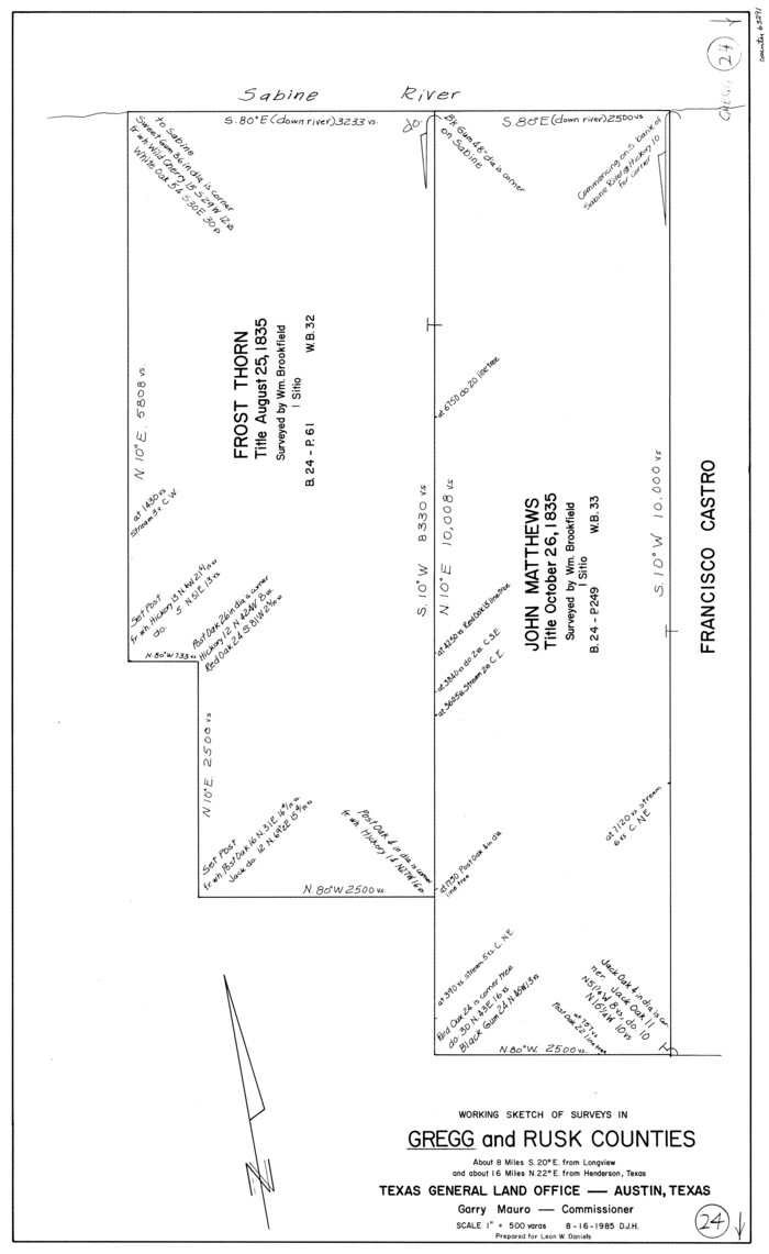
Gregg County Working Sketch 24
1985
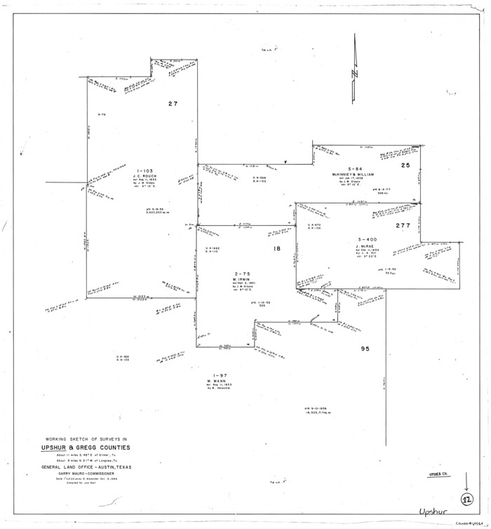
Upshur County Working Sketch 12
1984
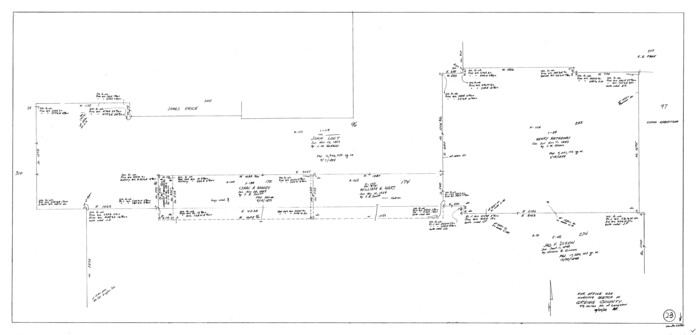
Gregg County Working Sketch 23
1982
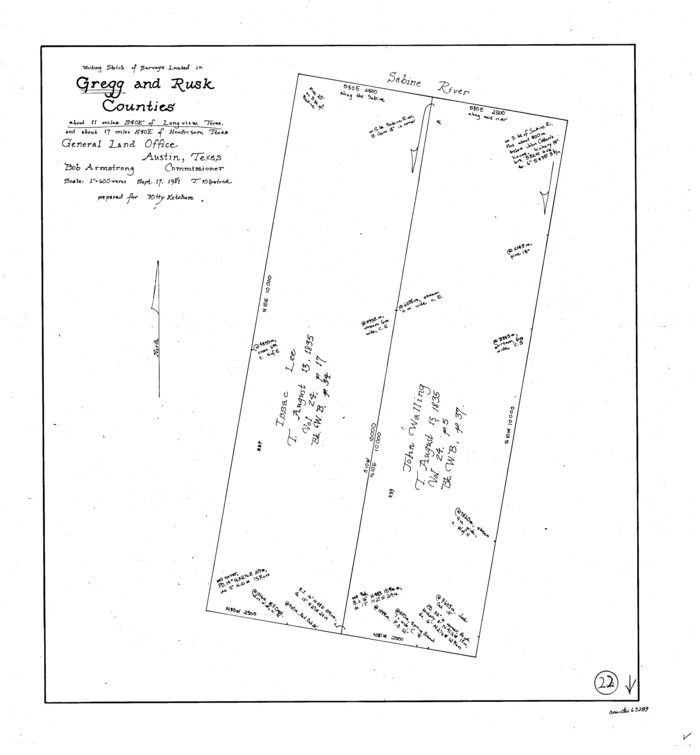
Gregg County Working Sketch 22
1981
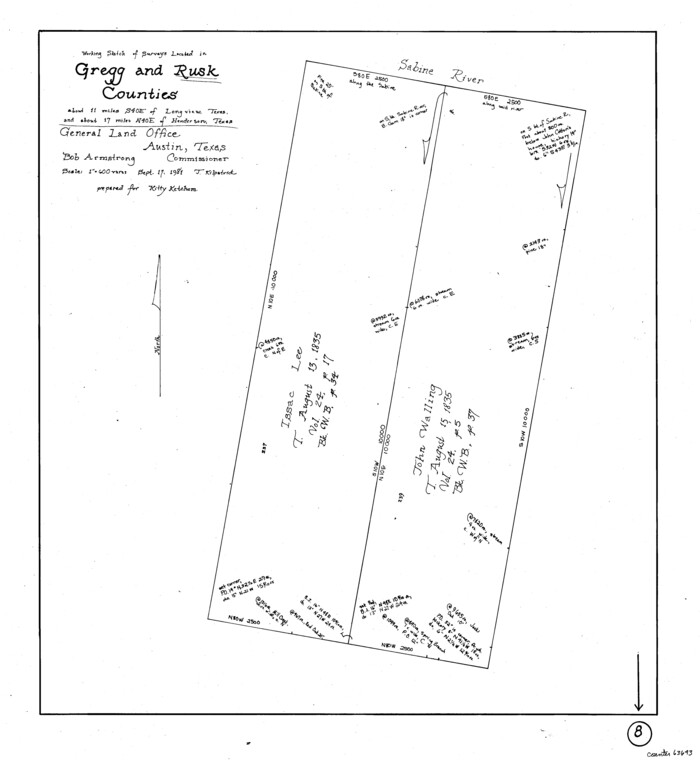
Rusk County Working Sketch 8
1981

Gregg County Working Sketch 21
1966
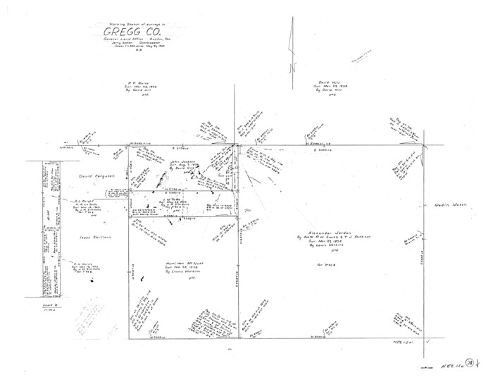
Gregg County Working Sketch 20
1962
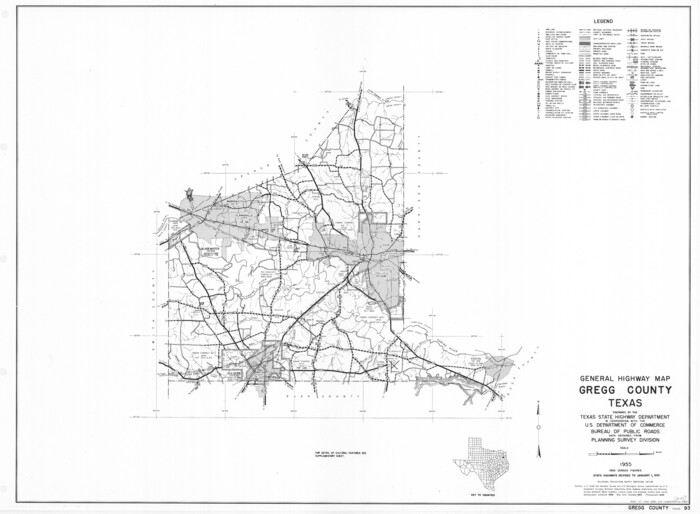
General Highway Map, Gregg County, Texas
1961
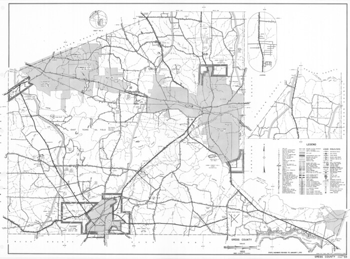
General Highway Map, Gregg County, Texas
1961

Gregg County Rolled Sketch 20
1957
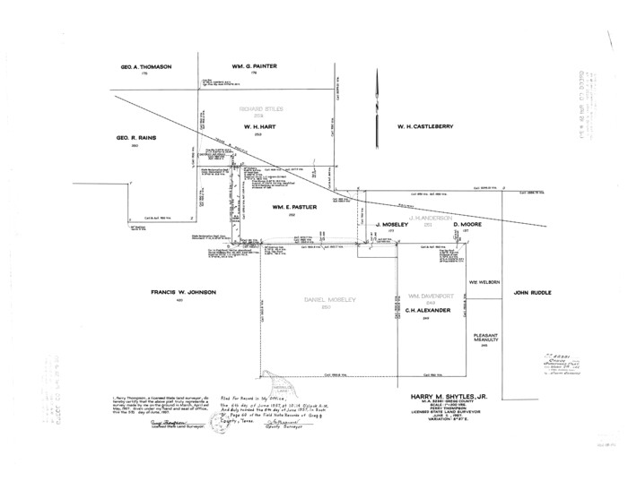
Gregg County Rolled Sketch 20
1957
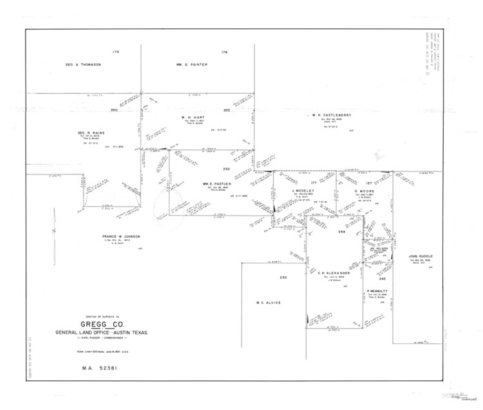
Gregg County Rolled Sketch 21
1957

Gregg County Working Sketch 19
1957
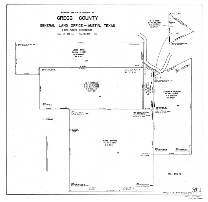
Gregg County Working Sketch 18
1955
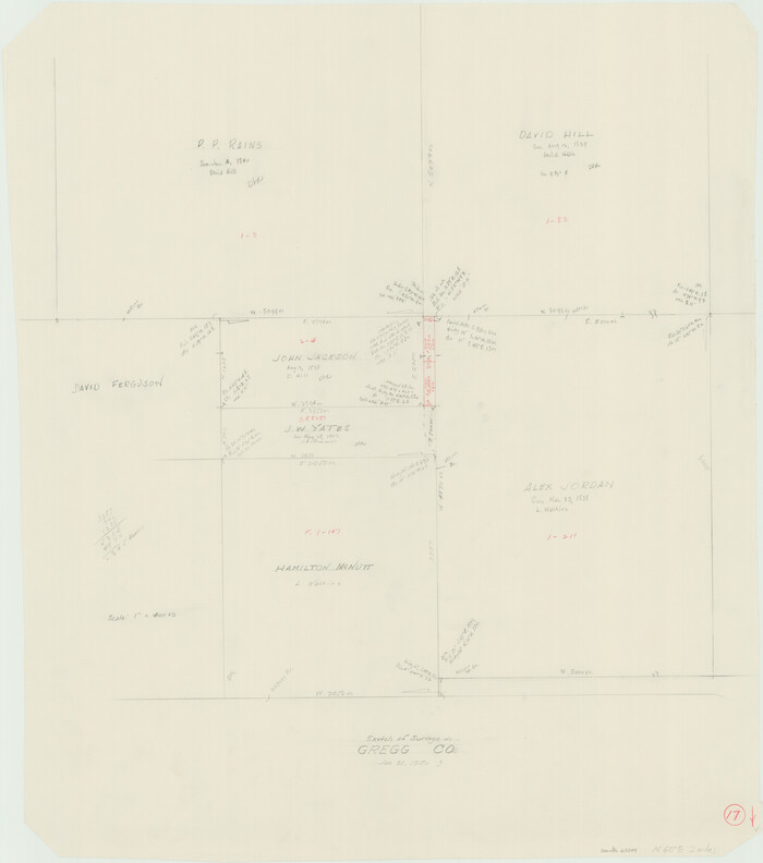
Gregg County Working Sketch 17
1950

Gregg County Sketch File 15
1946
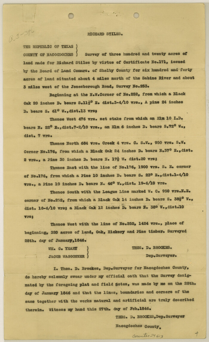
Gregg County Sketch File 14
1946
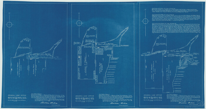
Gregg County Working Sketch 16
1944
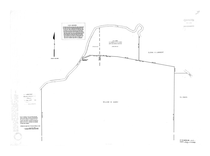
Gregg County Rolled Sketch 16A
1942

Gregg County Rolled Sketch 16
1942

Gregg County Working Sketch 15
1941

Gregg County Working Sketch 14
1941

Gregg County Rolled Sketch 15
1941

Gregg County Rolled Sketch 14
1940
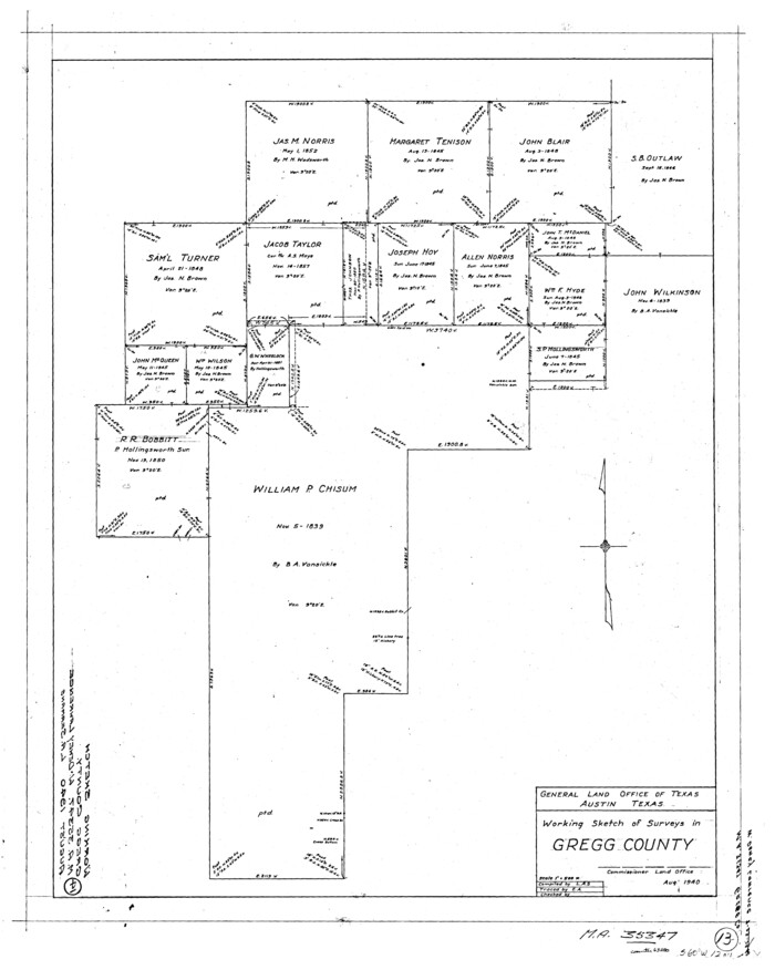
Gregg County Working Sketch 13
1940

Gregg County Working Sketch 12
1940

Gregg County Working Sketch 25
2006
-
Size
22.6 x 34.0 inches
-
Map/Doc
83095
-
Creation Date
2006

Upshur County Working Sketch 15b
1996
-
Size
36.7 x 29.4 inches
-
Map/Doc
69572
-
Creation Date
1996

Upshur County Working Sketch 15a
1996
-
Size
42.6 x 34.7 inches
-
Map/Doc
69573
-
Creation Date
1996

Upshur County Working Sketch 15, revised
1996
-
Size
43.3 x 37.4 inches
-
Map/Doc
78217
-
Creation Date
1996

Gregg County Working Sketch 24
1985
-
Size
26.6 x 16.3 inches
-
Map/Doc
63291
-
Creation Date
1985

Upshur County Working Sketch 12
1984
-
Size
31.9 x 29.6 inches
-
Map/Doc
69569
-
Creation Date
1984

Gregg County Working Sketch 23
1982
-
Size
20.2 x 42.2 inches
-
Map/Doc
63290
-
Creation Date
1982

Gregg County Working Sketch 22
1981
-
Size
23.2 x 21.5 inches
-
Map/Doc
63289
-
Creation Date
1981

Rusk County Working Sketch 8
1981
-
Size
22.4 x 20.6 inches
-
Map/Doc
63643
-
Creation Date
1981

Gregg County Working Sketch 21
1966
-
Size
25.5 x 32.1 inches
-
Map/Doc
63288
-
Creation Date
1966

Gregg County Working Sketch 20
1962
-
Size
34.3 x 44.4 inches
-
Map/Doc
63287
-
Creation Date
1962

General Highway Map, Gregg County, Texas
1961
-
Size
18.1 x 24.7 inches
-
Map/Doc
79488
-
Creation Date
1961

General Highway Map, Gregg County, Texas
1961
-
Size
18.1 x 24.6 inches
-
Map/Doc
79489
-
Creation Date
1961

Gregg County Rolled Sketch 20
1957
-
Size
34.6 x 44.7 inches
-
Map/Doc
6478
-
Creation Date
1957

Gregg County Rolled Sketch 20
1957
-
Size
34.0 x 44.4 inches
-
Map/Doc
9070
-
Creation Date
1957

Gregg County Rolled Sketch 21
1957
-
Size
34.4 x 40.4 inches
-
Map/Doc
10650
-
Creation Date
1957

Gregg County Working Sketch 19
1957
-
Size
31.7 x 37.3 inches
-
Map/Doc
63286
-
Creation Date
1957

Gregg County Working Sketch 18
1955
-
Size
23.3 x 24.0 inches
-
Map/Doc
63285
-
Creation Date
1955

Gregg County Working Sketch 17
1950
-
Size
29.7 x 26.2 inches
-
Map/Doc
63284
-
Creation Date
1950

Gregg County Sketch File 15
1946
-
Size
14.3 x 8.8 inches
-
Map/Doc
24616
-
Creation Date
1946

Gregg County Sketch File 14
1946
-
Size
14.3 x 8.8 inches
-
Map/Doc
24613
-
Creation Date
1946

Gregg County Working Sketch 16
1944
-
Size
14.8 x 27.9 inches
-
Map/Doc
63283
-
Creation Date
1944

Gregg County Rolled Sketch 16A
1942
-
Size
30.1 x 40.4 inches
-
Map/Doc
6039
-
Creation Date
1942

Gregg County Rolled Sketch 16
1942
-
Size
29.0 x 36.7 inches
-
Map/Doc
6038
-
Creation Date
1942

Gregg County Working Sketch 15
1941
-
Size
24.8 x 29.5 inches
-
Map/Doc
63282
-
Creation Date
1941

Gregg County Working Sketch 14
1941
-
Size
29.7 x 39.5 inches
-
Map/Doc
63281
-
Creation Date
1941

Gregg County Rolled Sketch 15
1941
-
Size
42.7 x 57.1 inches
-
Map/Doc
9066
-
Creation Date
1941

Gregg County Rolled Sketch 14
1940
-
Size
42.4 x 14.1 inches
-
Map/Doc
6037
-
Creation Date
1940

Gregg County Working Sketch 13
1940
-
Size
30.3 x 24.2 inches
-
Map/Doc
63280
-
Creation Date
1940

Gregg County Working Sketch 12
1940
-
Size
11.0 x 18.9 inches
-
Map/Doc
63279
-
Creation Date
1940