English Field Notes of the Spanish Archives - Books DBE, WBPS, GAN, WB3, and X


English Field Notes of the Spanish Archives - Books DBE, WBPS, GAN, WB3, and X
1835
96546
English Field Notes of the Spanish Archives - Books TJG, DB, A, A2, B, B2, WB, and WR


English Field Notes of the Spanish Archives - Books TJG, DB, A, A2, B, B2, WB, and WR
1835
96553
General Highway Map, Gregg County, Texas
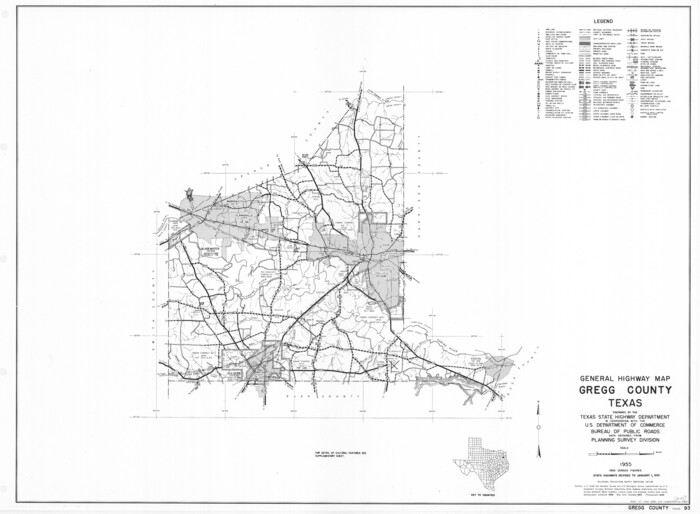

Print $20.00
General Highway Map, Gregg County, Texas
1961
Size: 18.1 x 24.7 inches
79488
General Highway Map, Gregg County, Texas
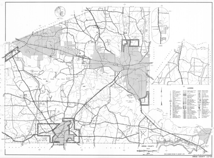

Print $20.00
General Highway Map, Gregg County, Texas
1961
Size: 18.1 x 24.6 inches
79489
General Highway Map, Upshur County, Gregg County, Texas


Print $20.00
General Highway Map, Upshur County, Gregg County, Texas
1939
Size: 24.9 x 18.6 inches
79105
Gregg County Boundary File 1


Print $6.00
- Digital $50.00
Gregg County Boundary File 1
Size: 10.0 x 7.9 inches
53981
Gregg County Boundary File 2
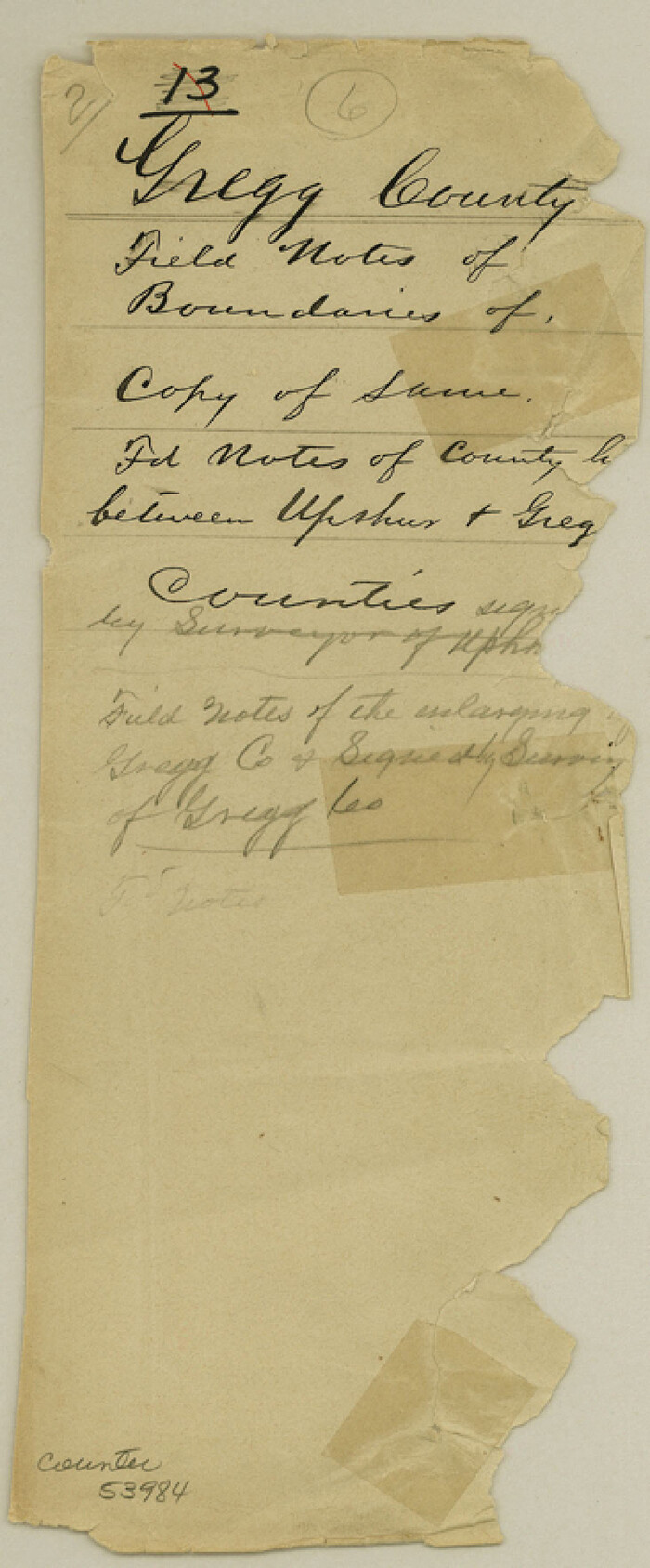

Print $8.00
- Digital $50.00
Gregg County Boundary File 2
Size: 8.8 x 3.7 inches
53984
Gregg County Boundary File 3


Print $8.00
- Digital $50.00
Gregg County Boundary File 3
Size: 14.1 x 8.5 inches
53988
Gregg County Boundary File 4


Print $14.00
- Digital $50.00
Gregg County Boundary File 4
Size: 14.1 x 8.6 inches
53992
Gregg County Boundary File 5
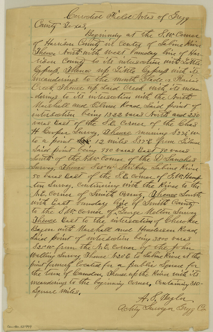

Print $4.00
- Digital $50.00
Gregg County Boundary File 5
Size: 13.5 x 8.7 inches
53999
Gregg County Boundary File 6


Print $6.00
- Digital $50.00
Gregg County Boundary File 6
Size: 8.5 x 5.8 inches
54001
Gregg County Boundary File 6a
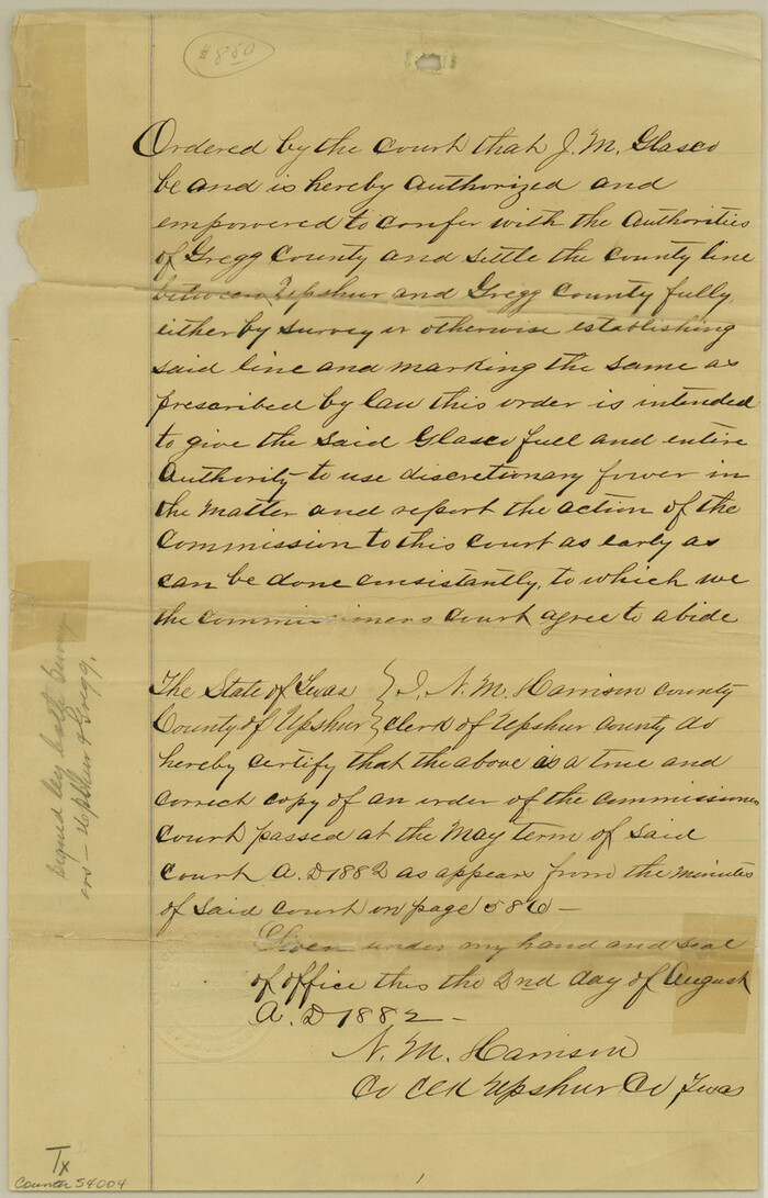

Print $46.00
- Digital $50.00
Gregg County Boundary File 6a
Size: 12.7 x 8.2 inches
54004
Gregg County Boundary File 7


Print $20.00
- Digital $50.00
Gregg County Boundary File 7
Size: 5.2 x 8.6 inches
54009
Gregg County Boundary File 8


Print $8.00
- Digital $50.00
Gregg County Boundary File 8
Size: 14.0 x 8.6 inches
54019
Gregg County Boundary File 9


Print $16.00
- Digital $50.00
Gregg County Boundary File 9
Size: 4.1 x 14.9 inches
54023
Gregg County Rolled Sketch 11
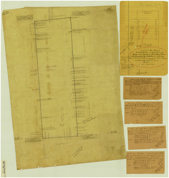

Print $20.00
- Digital $50.00
Gregg County Rolled Sketch 11
Size: 32.7 x 30.5 inches
6036
Gregg County Rolled Sketch 12
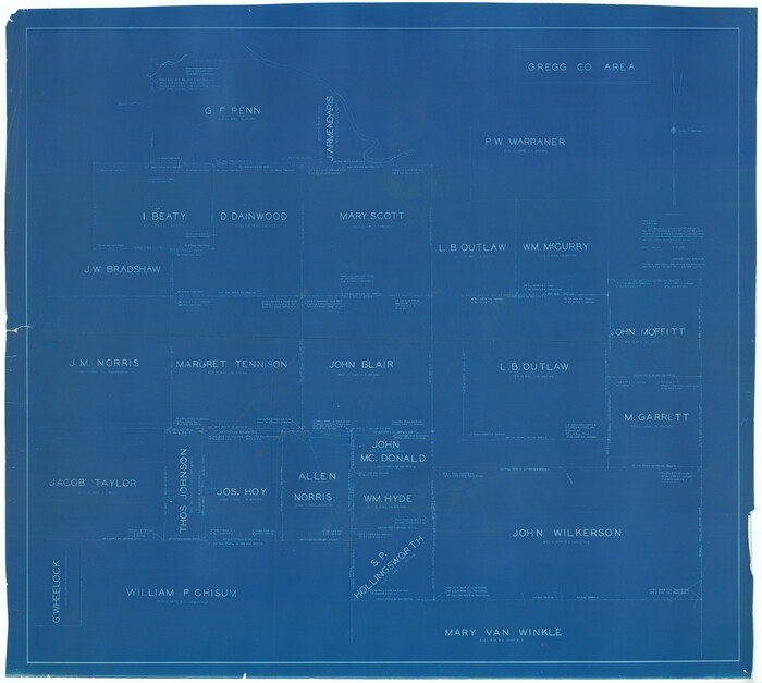

Print $40.00
- Digital $50.00
Gregg County Rolled Sketch 12
1939
Size: 49.5 x 55.5 inches
9065
Gregg County Rolled Sketch 13

Print $64.00
- Digital $50.00
Gregg County Rolled Sketch 13
1940
Size: 10.5 x 15.5 inches
45439
Gregg County Rolled Sketch 14


Print $20.00
- Digital $50.00
Gregg County Rolled Sketch 14
1940
Size: 42.4 x 14.1 inches
6037
Gregg County Rolled Sketch 15


Print $40.00
- Digital $50.00
Gregg County Rolled Sketch 15
1941
Size: 42.7 x 57.1 inches
9066
Gregg County Rolled Sketch 16


Print $20.00
- Digital $50.00
Gregg County Rolled Sketch 16
1942
Size: 29.0 x 36.7 inches
6038
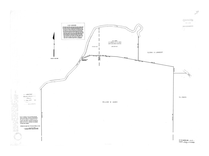
Gregg County Rolled Sketch 16A

Print $20.00
- Digital $50.00
Gregg County Rolled Sketch 16A
1942
Size: 30.1 x 40.4 inches
6039
English Field Notes of the Spanish Archives - Books DBE, WBPS, GAN, WB3, and X


English Field Notes of the Spanish Archives - Books DBE, WBPS, GAN, WB3, and X
1835
-
Map/Doc
96546
-
Creation Date
1835
English Field Notes of the Spanish Archives - Books TJG, DB, A, A2, B, B2, WB, and WR


English Field Notes of the Spanish Archives - Books TJG, DB, A, A2, B, B2, WB, and WR
1835
-
Map/Doc
96553
-
Creation Date
1835
General Highway Map, Gregg County, Texas


Print $20.00
General Highway Map, Gregg County, Texas
1961
-
Size
18.1 x 24.7 inches
-
Map/Doc
79488
-
Creation Date
1961
General Highway Map, Gregg County, Texas


Print $20.00
General Highway Map, Gregg County, Texas
1961
-
Size
18.1 x 24.6 inches
-
Map/Doc
79489
-
Creation Date
1961
General Highway Map, Upshur County, Gregg County, Texas


Print $20.00
General Highway Map, Upshur County, Gregg County, Texas
1939
-
Size
24.9 x 18.6 inches
-
Map/Doc
79105
-
Creation Date
1939
Gregg Co.


Print $20.00
- Digital $50.00
Gregg Co.
1893
-
Size
27.6 x 29.3 inches
-
Map/Doc
4963
-
Creation Date
1893
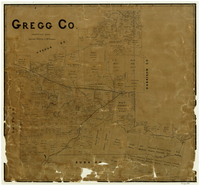
Gregg County

Print $20.00
- Digital $50.00
Gregg County
1893
-
Size
25.3 x 27.2 inches
-
Map/Doc
3602
-
Creation Date
1893
Gregg County


Print $20.00
- Digital $50.00
Gregg County
1887
-
Size
17.2 x 14.6 inches
-
Map/Doc
3603
-
Creation Date
1887
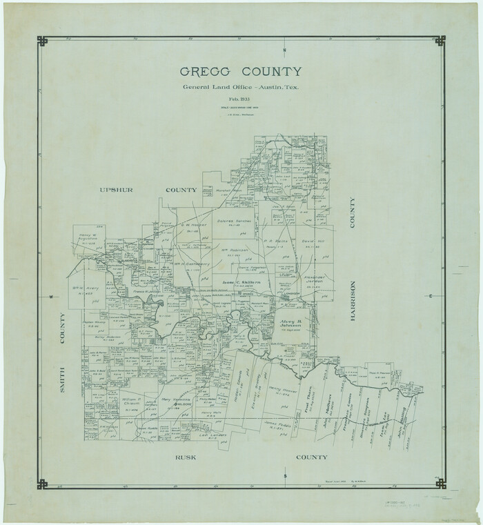
Gregg County

Print $20.00
- Digital $50.00
Gregg County
1933
-
Size
36.1 x 33.2 inches
-
Map/Doc
66841
-
Creation Date
1933
Gregg County


Print $20.00
- Digital $50.00
Gregg County
1933
-
Size
34.4 x 30.3 inches
-
Map/Doc
66842
-
Creation Date
1933
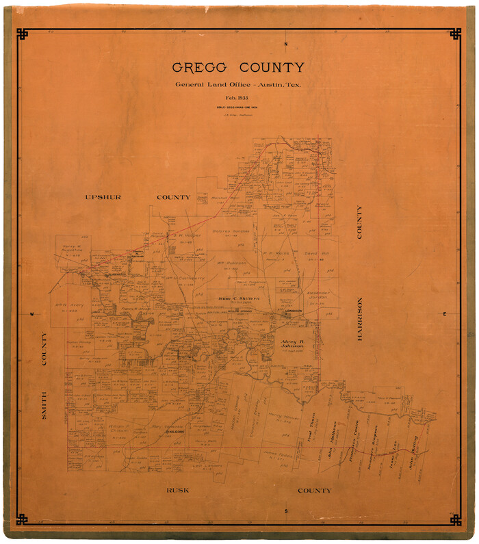
Gregg County

Print $20.00
- Digital $50.00
Gregg County
1933
-
Size
33.7 x 30.2 inches
-
Map/Doc
73163
-
Creation Date
1933
Gregg County


Print $20.00
- Digital $50.00
Gregg County
1933
-
Size
40.3 x 36.4 inches
-
Map/Doc
77295
-
Creation Date
1933
Gregg County
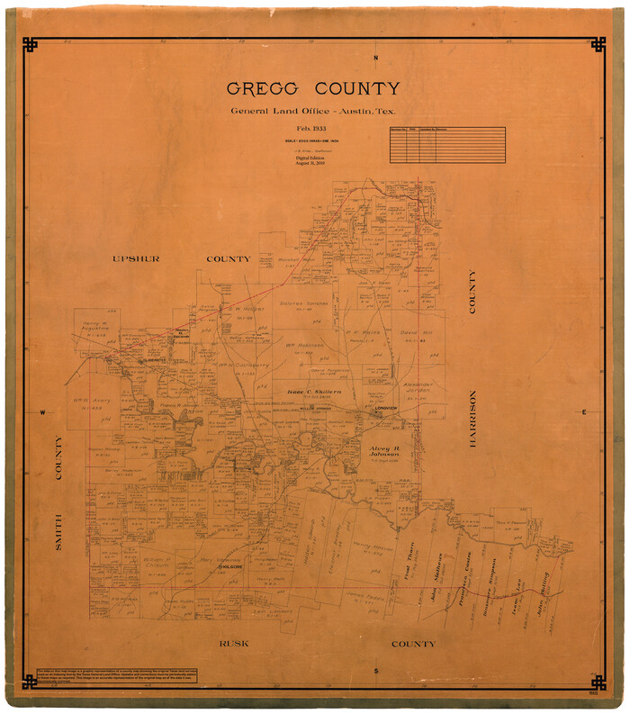

Print $20.00
- Digital $50.00
Gregg County
1933
-
Size
35.2 x 31.3 inches
-
Map/Doc
95513
-
Creation Date
1933
Gregg County Boundary File 1


Print $6.00
- Digital $50.00
Gregg County Boundary File 1
-
Size
10.0 x 7.9 inches
-
Map/Doc
53981
Gregg County Boundary File 2


Print $8.00
- Digital $50.00
Gregg County Boundary File 2
-
Size
8.8 x 3.7 inches
-
Map/Doc
53984
Gregg County Boundary File 3


Print $8.00
- Digital $50.00
Gregg County Boundary File 3
-
Size
14.1 x 8.5 inches
-
Map/Doc
53988
Gregg County Boundary File 4


Print $14.00
- Digital $50.00
Gregg County Boundary File 4
-
Size
14.1 x 8.6 inches
-
Map/Doc
53992
Gregg County Boundary File 5


Print $4.00
- Digital $50.00
Gregg County Boundary File 5
-
Size
13.5 x 8.7 inches
-
Map/Doc
53999
Gregg County Boundary File 6


Print $6.00
- Digital $50.00
Gregg County Boundary File 6
-
Size
8.5 x 5.8 inches
-
Map/Doc
54001
Gregg County Boundary File 6a


Print $46.00
- Digital $50.00
Gregg County Boundary File 6a
-
Size
12.7 x 8.2 inches
-
Map/Doc
54004
Gregg County Boundary File 7


Print $20.00
- Digital $50.00
Gregg County Boundary File 7
-
Size
5.2 x 8.6 inches
-
Map/Doc
54009
Gregg County Boundary File 8


Print $8.00
- Digital $50.00
Gregg County Boundary File 8
-
Size
14.0 x 8.6 inches
-
Map/Doc
54019
Gregg County Boundary File 9


Print $16.00
- Digital $50.00
Gregg County Boundary File 9
-
Size
4.1 x 14.9 inches
-
Map/Doc
54023
Gregg County Rolled Sketch 11


Print $20.00
- Digital $50.00
Gregg County Rolled Sketch 11
-
Size
32.7 x 30.5 inches
-
Map/Doc
6036
Gregg County Rolled Sketch 12


Print $40.00
- Digital $50.00
Gregg County Rolled Sketch 12
1939
-
Size
49.5 x 55.5 inches
-
Map/Doc
9065
-
Creation Date
1939
Gregg County Rolled Sketch 13


Print $64.00
- Digital $50.00
Gregg County Rolled Sketch 13
1940
-
Size
10.5 x 15.5 inches
-
Map/Doc
45439
-
Creation Date
1940
Gregg County Rolled Sketch 14


Print $20.00
- Digital $50.00
Gregg County Rolled Sketch 14
1940
-
Size
42.4 x 14.1 inches
-
Map/Doc
6037
-
Creation Date
1940
Gregg County Rolled Sketch 15


Print $40.00
- Digital $50.00
Gregg County Rolled Sketch 15
1941
-
Size
42.7 x 57.1 inches
-
Map/Doc
9066
-
Creation Date
1941
Gregg County Rolled Sketch 16


Print $20.00
- Digital $50.00
Gregg County Rolled Sketch 16
1942
-
Size
29.0 x 36.7 inches
-
Map/Doc
6038
-
Creation Date
1942
Gregg County Rolled Sketch 16A


Print $20.00
- Digital $50.00
Gregg County Rolled Sketch 16A
1942
-
Size
30.1 x 40.4 inches
-
Map/Doc
6039
-
Creation Date
1942