Gregg County Boundary File 2
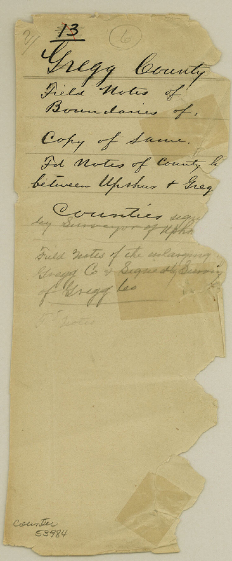
Field Notes of Line between the Counties of Upshur and Gregg Certified Copy
-
Map/Doc
53984
-
Collection
General Map Collection
-
Counties
Gregg
-
Subjects
County Boundaries
-
Height x Width
8.8 x 3.7 inches
22.4 x 9.4 cm
Part of: General Map Collection
Starr County Sketch File 24

Print $20.00
- Digital $50.00
Starr County Sketch File 24
1922
Size 15.7 x 19.5 inches
Map/Doc 12332
Panola County Sketch File 29

Print $7.00
- Digital $50.00
Panola County Sketch File 29
1842
Size 10.0 x 8.1 inches
Map/Doc 33502
Lynn County Sketch File A

Print $2.00
- Digital $50.00
Lynn County Sketch File A
1905
Size 8.6 x 6.3 inches
Map/Doc 30477

Brewster County Rolled Sketch 80

Print $40.00
- Digital $50.00
Brewster County Rolled Sketch 80
1943
Size 51.6 x 42.7 inches
Map/Doc 8493
Loving County Working Sketch 21

Print $20.00
- Digital $50.00
Loving County Working Sketch 21
1984
Size 26.7 x 36.0 inches
Map/Doc 70655
Jim Hogg County Rolled Sketch 14

Print $20.00
- Digital $50.00
Jim Hogg County Rolled Sketch 14
2023
Size 21.1 x 30.3 inches
Map/Doc 97155
Frio County Rolled Sketch 12A

Print $20.00
- Digital $50.00
Frio County Rolled Sketch 12A
1948
Size 40.0 x 45.2 inches
Map/Doc 8905
Young County Rolled Sketch 18

Print $20.00
- Digital $50.00
Young County Rolled Sketch 18
2020
Size 22.6 x 30.4 inches
Map/Doc 95960

Brewster County Rolled Sketch 157

Print $20.00
- Digital $50.00
Brewster County Rolled Sketch 157
2008
Size 36.6 x 24.8 inches
Map/Doc 88870
Calhoun County Rolled Sketch 22

Print $20.00
- Digital $50.00
Calhoun County Rolled Sketch 22
Size 35.0 x 37.0 inches
Map/Doc 8552
You may also like
Hamilton County Boundary File 6

Print $4.00
- Digital $50.00
Hamilton County Boundary File 6
Size 11.2 x 8.6 inches
Map/Doc 54225
Flight Mission No. BQY-4M, Frame 56, Harris County

Print $20.00
- Digital $50.00
Flight Mission No. BQY-4M, Frame 56, Harris County
1953
Size 18.6 x 22.4 inches
Map/Doc 85265
Crane County Working Sketch 5

Print $40.00
- Digital $50.00
Crane County Working Sketch 5
1928
Size 34.5 x 49.0 inches
Map/Doc 68282
Panola County Sketch File 20

Print $22.00
- Digital $50.00
Panola County Sketch File 20
Size 8.3 x 14.6 inches
Map/Doc 33485
Runnels County

Print $40.00
- Digital $50.00
Runnels County
1948
Size 49.4 x 38.7 inches
Map/Doc 63010
Liberty County Rolled Sketch 14

Print $20.00
- Digital $50.00
Liberty County Rolled Sketch 14
Size 33.2 x 43.9 inches
Map/Doc 6620
Sutton County Sketch File 5

Print $40.00
- Digital $50.00
Sutton County Sketch File 5
Size 14.0 x 17.3 inches
Map/Doc 37356
Rusk County Rolled Sketch 5

Print $40.00
- Digital $50.00
Rusk County Rolled Sketch 5
1948
Size 36.9 x 49.5 inches
Map/Doc 10744
Duval County Boundary File 4

Print $40.00
- Digital $50.00
Duval County Boundary File 4
Size 39.5 x 13.7 inches
Map/Doc 52767
Medina County Boundary File 1

Print $14.00
- Digital $50.00
Medina County Boundary File 1
Size 12.8 x 8.1 inches
Map/Doc 57019
Smith County Boundary File 1

Print $52.00
- Digital $50.00
Smith County Boundary File 1
1922
Size 14.3 x 8.8 inches
Map/Doc 58791
Railroad Track Map, H&TCRRCo., Falls County, Texas

Print $4.00
- Digital $50.00
Railroad Track Map, H&TCRRCo., Falls County, Texas
1918
Size 11.7 x 18.5 inches
Map/Doc 62839