[Sketch for Mineral Application 26649-26650 - Sabine River, Harry A. Wolan]
K-1-31a; K-1-31b
-
Map/Doc
2852
-
Collection
General Map Collection
-
Object Dates
1931 (Creation Date)
-
People and Organizations
W.E. Jones (Surveyor/Engineer)
-
Counties
Smith Gregg
-
Subjects
Energy Offshore Submerged Area
-
Height x Width
36.9 x 72.2 inches
93.7 x 183.4 cm
Part of: General Map Collection
Burnet County Boundary File 12a

Print $8.00
- Digital $50.00
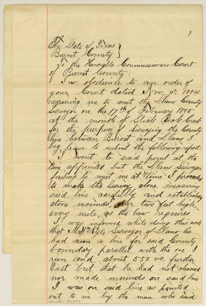
Burnet County Boundary File 12a
Size 12.9 x 8.7 inches
Map/Doc 50956
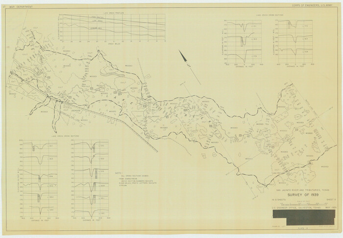
San Jacinto River and Tributaries, Texas - Survey of 1939

Print $20.00
- Digital $50.00
San Jacinto River and Tributaries, Texas - Survey of 1939
1939
Size 28.0 x 40.3 inches
Map/Doc 60307
[Surveys in the Jefferson District: G. A. Patillo's league, Big Sandy, Sabine Bay]
![69727, [Surveys in the Jefferson District: G. A. Patillo's league, Big Sandy, Sabine Bay], General Map Collection](https://historictexasmaps.com/wmedia_w700/maps/69727-1.tif.jpg)
![69727, [Surveys in the Jefferson District: G. A. Patillo's league, Big Sandy, Sabine Bay], General Map Collection](https://historictexasmaps.com/wmedia_w700/maps/69727-1.tif.jpg)
Print $20.00
- Digital $50.00
[Surveys in the Jefferson District: G. A. Patillo's league, Big Sandy, Sabine Bay]
1846
Size 14.4 x 20.9 inches
Map/Doc 69727
Menard County Rolled Sketch 8
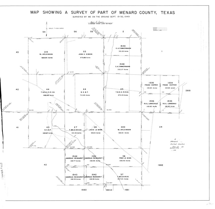

Print $20.00
- Digital $50.00
Menard County Rolled Sketch 8
1949
Size 36.6 x 37.7 inches
Map/Doc 9510
Midland County Working Sketch 3


Print $20.00
- Digital $50.00
Midland County Working Sketch 3
Size 19.5 x 35.2 inches
Map/Doc 70983
Orange County Boundary File 9


Print $16.00
- Digital $50.00
Orange County Boundary File 9
Size 11.2 x 8.7 inches
Map/Doc 57782
Panola County Working Sketch 27


Print $20.00
- Digital $50.00
Panola County Working Sketch 27
1956
Map/Doc 71436
Webb County Rolled Sketch 53
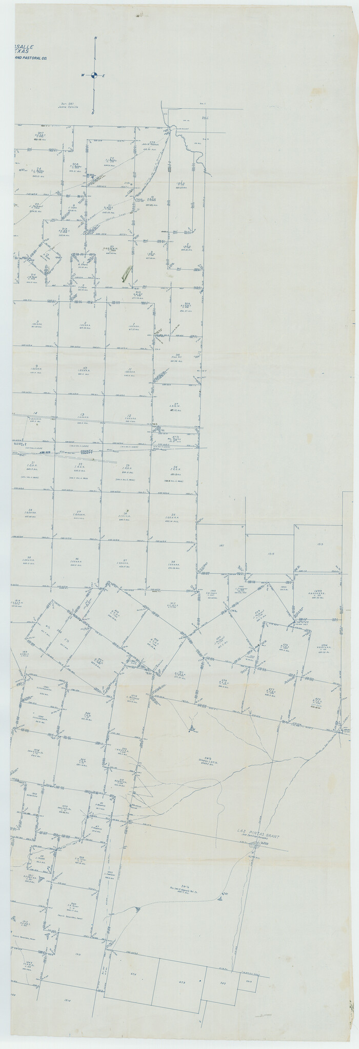

Print $40.00
- Digital $50.00
Webb County Rolled Sketch 53
1944
Size 83.5 x 28.6 inches
Map/Doc 49483
Hartley County Rolled Sketch 8


Print $20.00
- Digital $50.00
Hartley County Rolled Sketch 8
1974
Size 20.0 x 23.7 inches
Map/Doc 6162
You may also like
Caldwell County
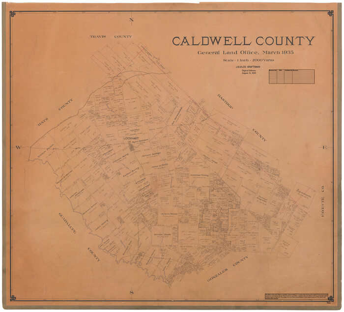

Print $20.00
- Digital $50.00
Caldwell County
1935
Size 38.7 x 42.7 inches
Map/Doc 95444
Colorado County Sketch File 16


Print $4.00
- Digital $50.00
Colorado County Sketch File 16
Size 8.2 x 10.3 inches
Map/Doc 18945
Presidio County Rolled Sketch 92
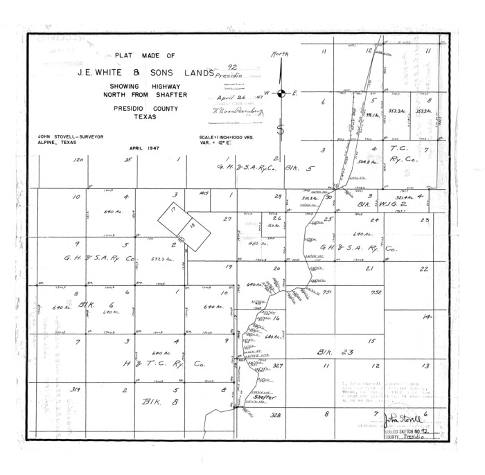

Print $20.00
- Digital $50.00
Presidio County Rolled Sketch 92
1947
Size 18.5 x 18.9 inches
Map/Doc 7377
Runnels County Sketch File 35


Print $20.00
Runnels County Sketch File 35
1889
Size 17.7 x 30.6 inches
Map/Doc 12266
Grimes County Rolled Sketch 1


Print $20.00
- Digital $50.00
Grimes County Rolled Sketch 1
1945
Size 34.6 x 35.0 inches
Map/Doc 9007
Carte d'une partie des Côtes de l'Inde depuis Bombay jus'qu'a Surate, avec le détail des Habitations de cette Côte
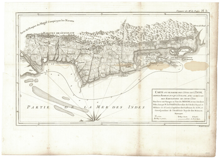

Print $20.00
- Digital $50.00
Carte d'une partie des Côtes de l'Inde depuis Bombay jus'qu'a Surate, avec le détail des Habitations de cette Côte
1782
Size 13.2 x 18.2 inches
Map/Doc 97119
The Mexican Municipality of Washington. Proposed Creation, ca Spring 1835
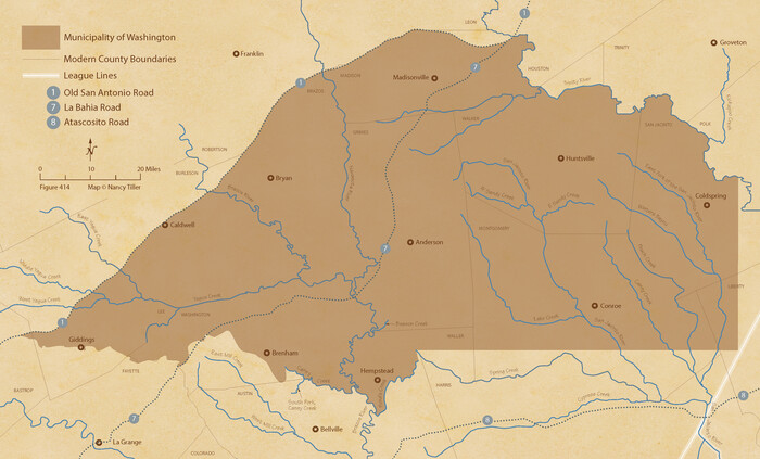

Print $20.00
The Mexican Municipality of Washington. Proposed Creation, ca Spring 1835
2020
Size 13.1 x 21.7 inches
Map/Doc 96035
Map of the Missouri Pacific and St. Louis, Iron Mountain and Southern Railways and Connections
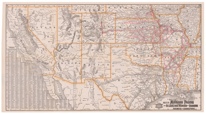

Print $20.00
- Digital $50.00
Map of the Missouri Pacific and St. Louis, Iron Mountain and Southern Railways and Connections
1898
Size 17.7 x 32.1 inches
Map/Doc 95791
Louisiana and Texas Intracoastal Waterway


Print $20.00
- Digital $50.00
Louisiana and Texas Intracoastal Waterway
1937
Size 13.7 x 19.6 inches
Map/Doc 83348
Cogdell Ranch Kent County, Texas


Print $20.00
- Digital $50.00
Cogdell Ranch Kent County, Texas
1950
Size 24.8 x 13.5 inches
Map/Doc 92189
Nueces County NRC Article 33.136 Sketch 13
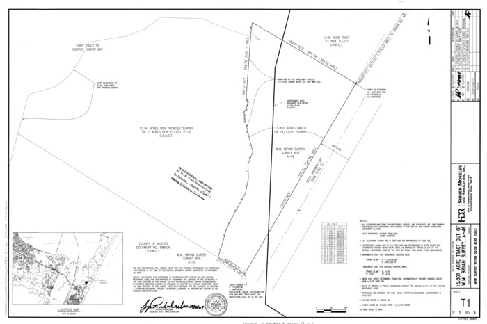

Print $24.00
- Digital $50.00
Nueces County NRC Article 33.136 Sketch 13
2007
Size 22.3 x 34.3 inches
Map/Doc 88809
Uvalde County Rolled Sketch 15


Print $20.00
- Digital $50.00
Uvalde County Rolled Sketch 15
1979
Size 26.9 x 23.9 inches
Map/Doc 8099
![2852, [Sketch for Mineral Application 26649-26650 - Sabine River, Harry A. Wolan], General Map Collection](https://historictexasmaps.com/wmedia_w1800h1800/maps/2852-1.tif.jpg)
