[Sketch for Mineral Application 27670 - Strip between Simon Sanchez leagues and Trinity River]
K-1-22 (a-e)
-
Map/Doc
2862
-
Collection
General Map Collection
-
Object Dates
1934 (Creation Date)
-
People and Organizations
J.K. Alewine (Surveyor/Engineer)
-
Counties
Leon
-
Subjects
Energy Offshore Submerged Area
-
Height x Width
25.7 x 39.9 inches
65.3 x 101.4 cm
Part of: General Map Collection
Crosby County Working Sketch 16


Print $40.00
- Digital $50.00
Crosby County Working Sketch 16
1979
Size 37.4 x 59.3 inches
Map/Doc 68450
Lynn County Rolled Sketch 10


Print $20.00
- Digital $50.00
Lynn County Rolled Sketch 10
Size 13.1 x 18.5 inches
Map/Doc 6646
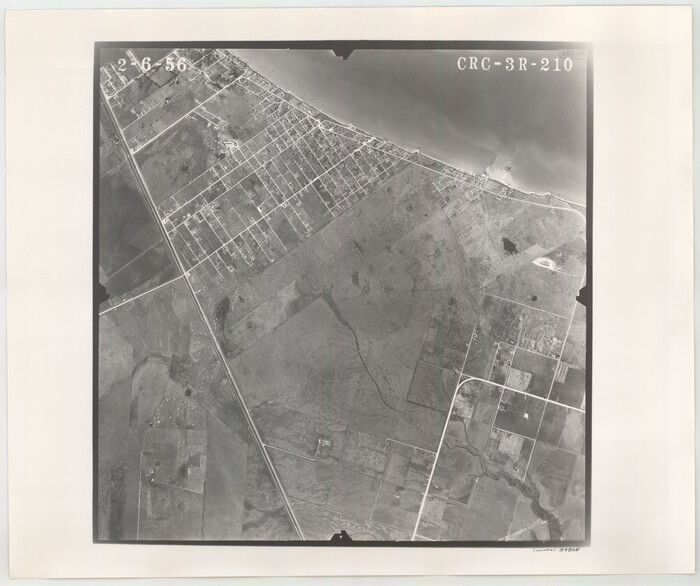
Flight Mission No. CRC-3R, Frame 210, Chambers County

Print $20.00
- Digital $50.00
Flight Mission No. CRC-3R, Frame 210, Chambers County
1956
Size 18.6 x 22.3 inches
Map/Doc 84865
McLennan County Sketch File 5


Print $9.00
- Digital $50.00
McLennan County Sketch File 5
Size 11.0 x 17.0 inches
Map/Doc 31240
Jefferson County Working Sketch 11


Print $20.00
- Digital $50.00
Jefferson County Working Sketch 11
1943
Size 46.6 x 43.0 inches
Map/Doc 66554
Aransas County Working Sketch 16


Print $40.00
- Digital $50.00
Aransas County Working Sketch 16
1965
Size 55.3 x 43.1 inches
Map/Doc 67183
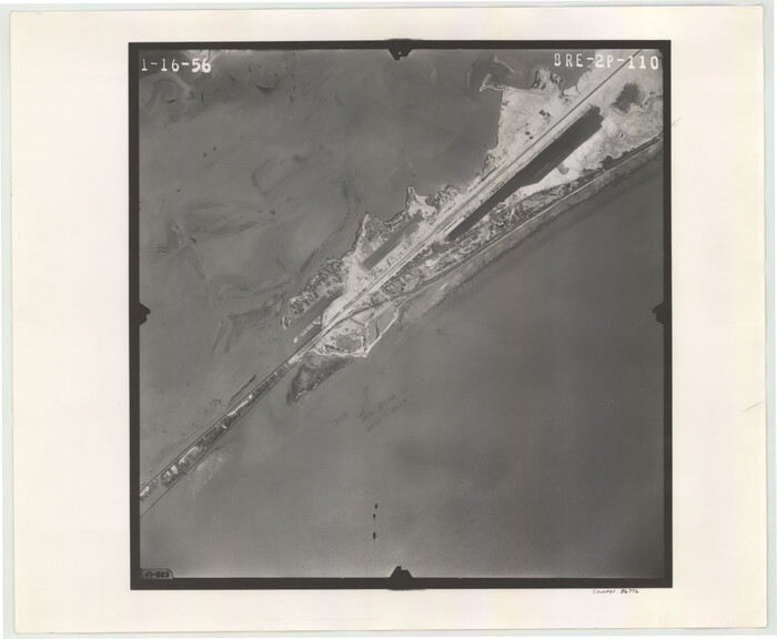
Flight Mission No. BRE-2P, Frame 110, Nueces County

Print $20.00
- Digital $50.00
Flight Mission No. BRE-2P, Frame 110, Nueces County
1956
Size 18.6 x 22.6 inches
Map/Doc 86796
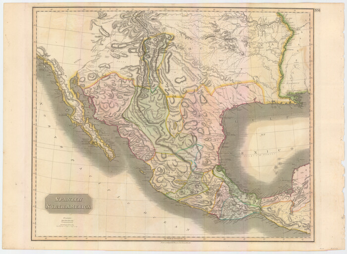
Spanish North America

Print $20.00
- Digital $50.00
Spanish North America
1814
Size 21.9 x 29.8 inches
Map/Doc 89224
Red River County Working Sketch 53


Print $20.00
- Digital $50.00
Red River County Working Sketch 53
1971
Size 23.4 x 26.9 inches
Map/Doc 72036
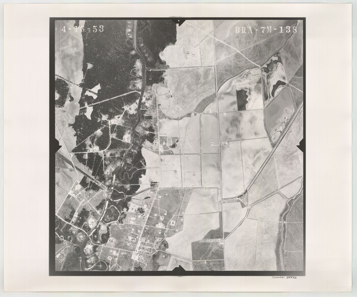
Flight Mission No. BRA-7M, Frame 138, Jefferson County

Print $20.00
- Digital $50.00
Flight Mission No. BRA-7M, Frame 138, Jefferson County
1953
Size 18.6 x 22.4 inches
Map/Doc 85532
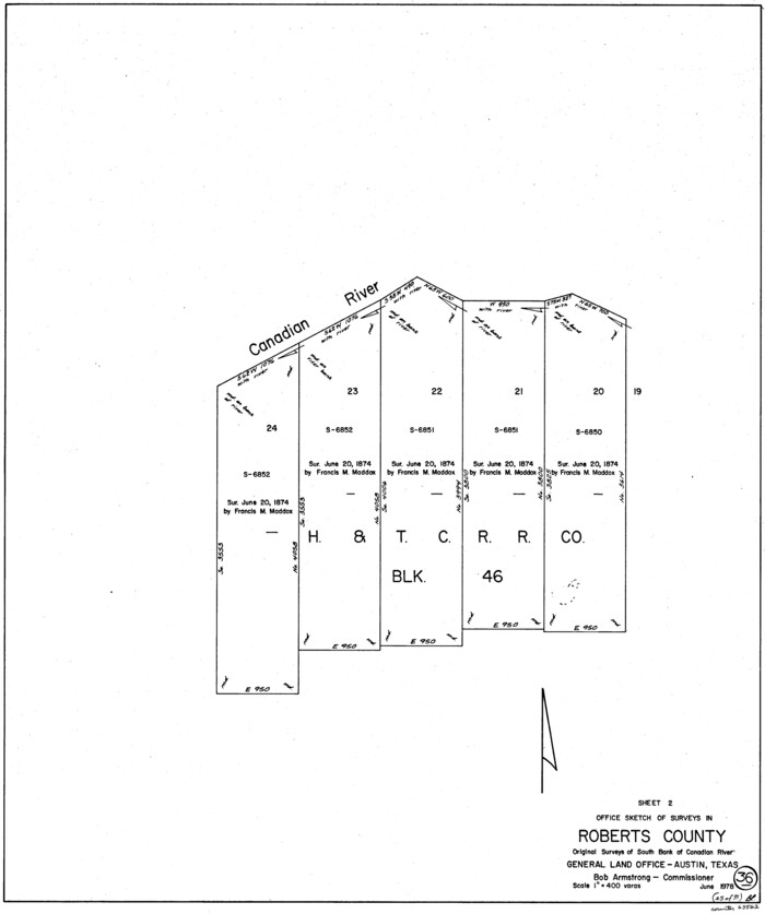
Roberts County Working Sketch 36

Print $20.00
- Digital $50.00
Roberts County Working Sketch 36
1978
Size 26.6 x 22.3 inches
Map/Doc 63562
[Sketch for Mineral Application 15273 - Sabine River Bed]
![65575, [Sketch for Mineral Application 15273 - Sabine River Bed], General Map Collection](https://historictexasmaps.com/wmedia_w700/maps/65575-GC.tif.jpg)
![65575, [Sketch for Mineral Application 15273 - Sabine River Bed], General Map Collection](https://historictexasmaps.com/wmedia_w700/maps/65575-GC.tif.jpg)
Print $20.00
- Digital $50.00
[Sketch for Mineral Application 15273 - Sabine River Bed]
1926
Size 28.2 x 45.5 inches
Map/Doc 65575
You may also like
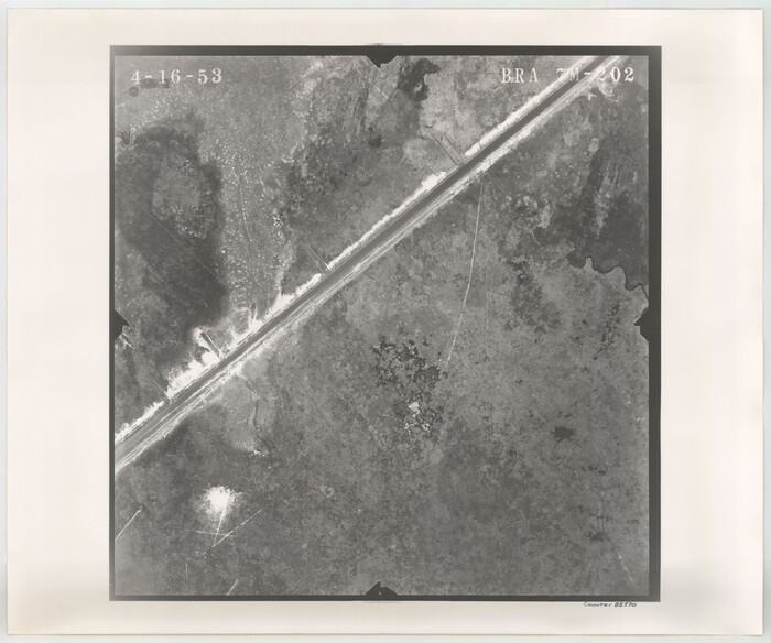
Flight Mission No. BRA-7M, Frame 202, Jefferson County

Print $20.00
- Digital $50.00
Flight Mission No. BRA-7M, Frame 202, Jefferson County
1953
Size 18.6 x 22.3 inches
Map/Doc 85570
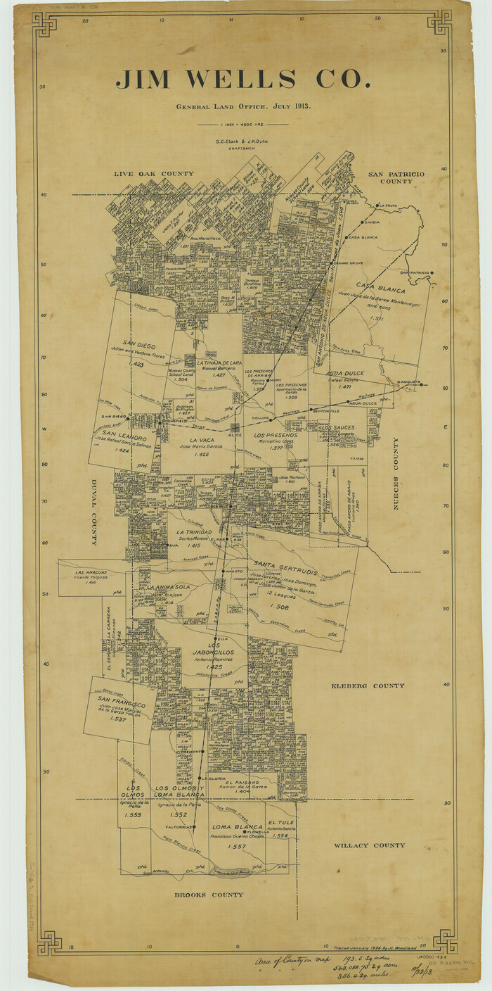
Jim Wells Co.

Print $20.00
- Digital $50.00
Jim Wells Co.
1913
Size 43.1 x 21.4 inches
Map/Doc 66886
Real County Rolled Sketch 4
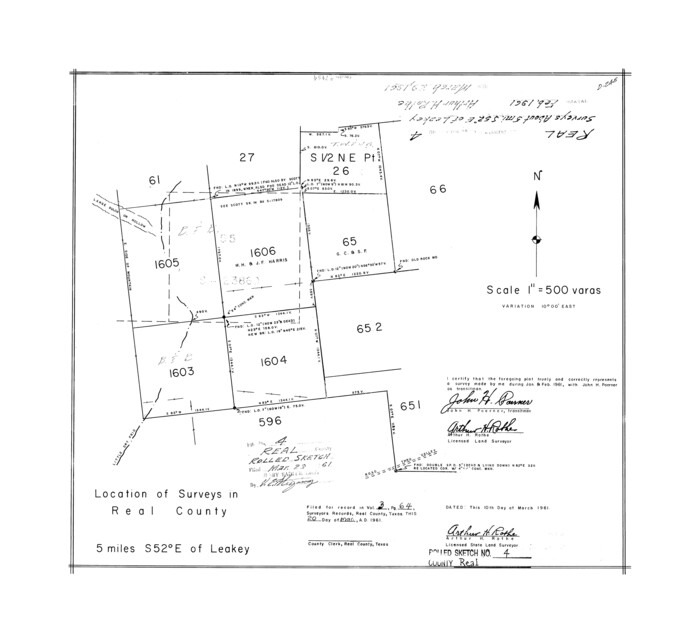

Print $20.00
- Digital $50.00
Real County Rolled Sketch 4
1961
Size 18.7 x 20.4 inches
Map/Doc 7454
Hutchinson County Working Sketch 16
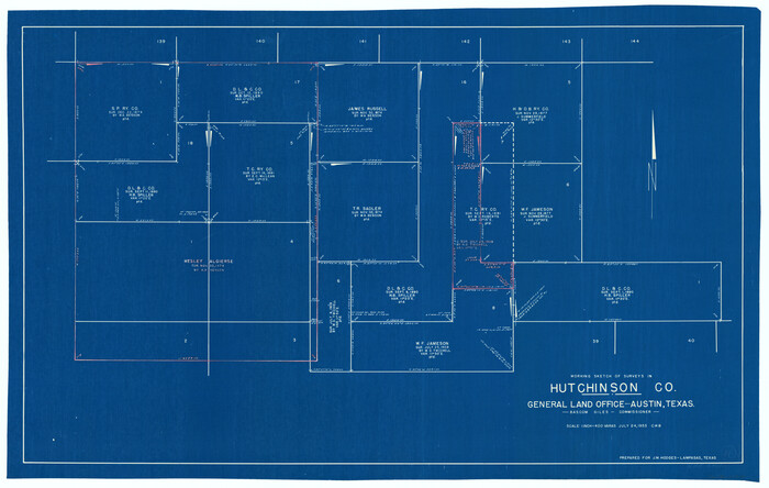

Print $20.00
- Digital $50.00
Hutchinson County Working Sketch 16
1953
Size 23.0 x 36.3 inches
Map/Doc 66374
Fort Bend County Sketch File 12
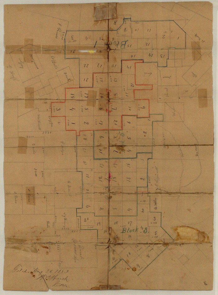

Print $20.00
- Digital $50.00
Fort Bend County Sketch File 12
Size 24.6 x 18.2 inches
Map/Doc 11503
Midland County Sketch File 19
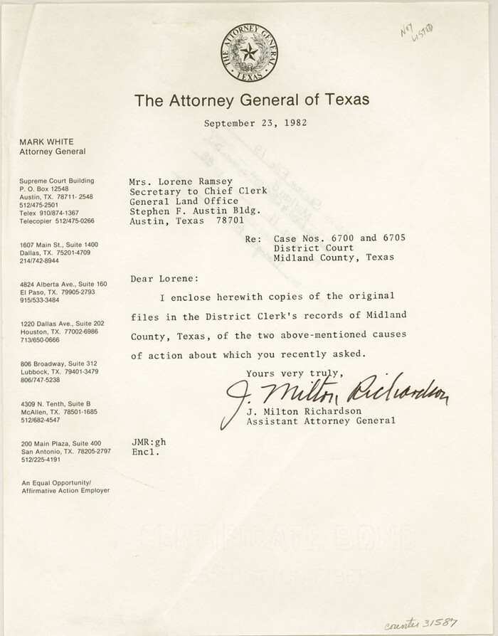

Print $74.00
- Digital $50.00
Midland County Sketch File 19
1952
Size 11.1 x 8.7 inches
Map/Doc 31587
Map of the Houston & Great Northern Railroad

Print $40.00
- Digital $50.00
Map of the Houston & Great Northern Railroad
1871
Size 26.6 x 48.4 inches
Map/Doc 64472
[Sketch of Surveys Near Port Aransas and Aransas Pass, Aransas County, Texas]
![676, [Sketch of Surveys Near Port Aransas and Aransas Pass, Aransas County, Texas], Maddox Collection](https://historictexasmaps.com/wmedia_w700/maps/676.tif.jpg)
![676, [Sketch of Surveys Near Port Aransas and Aransas Pass, Aransas County, Texas], Maddox Collection](https://historictexasmaps.com/wmedia_w700/maps/676.tif.jpg)
Print $20.00
- Digital $50.00
[Sketch of Surveys Near Port Aransas and Aransas Pass, Aransas County, Texas]
Size 22.8 x 18.5 inches
Map/Doc 676
Howard County Working Sketch Graphic Index

Print $20.00
- Digital $50.00
Howard County Working Sketch Graphic Index
1922
Size 42.5 x 36.3 inches
Map/Doc 76583
Culberson County Rolled Sketch 58


Print $40.00
- Digital $50.00
Culberson County Rolled Sketch 58
1979
Size 37.8 x 52.6 inches
Map/Doc 8759
[T. & N. O. R.R. Jefferson Co. North]
![64055, [T. & N. O. R.R. Jefferson Co. North], General Map Collection](https://historictexasmaps.com/wmedia_w700/maps/64055-1.tif.jpg)
![64055, [T. & N. O. R.R. Jefferson Co. North], General Map Collection](https://historictexasmaps.com/wmedia_w700/maps/64055-1.tif.jpg)
Print $20.00
- Digital $50.00
[T. & N. O. R.R. Jefferson Co. North]
Size 13.4 x 33.4 inches
Map/Doc 64055
![2862, [Sketch for Mineral Application 27670 - Strip between Simon Sanchez leagues and Trinity River], General Map Collection](https://historictexasmaps.com/wmedia_w1800h1800/maps/2862-1.tif.jpg)
