
Energy Map of Texas
2020

Texas Land Commissioner George P. Bush's Energy Map of Texas Showing Significant Events and Well & Pipeline Locations Between 1543 and 2015
2015
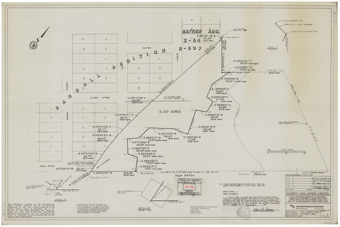
[Plat and field notes of 3.107 acre tract for Clement Cove Harbor Company]
1987
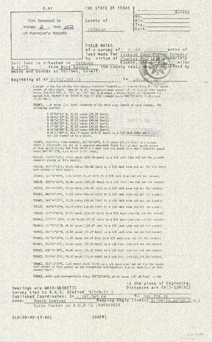
[Plat and field notes of 3.107 acre tract for Clement Cove Harbor Company]
1987
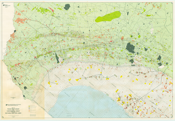
Map of Texas Gulf Coast and Continental Shelf showing Natural Gas Pipe Lines
1983

Revised map of west half of Sabine Lake and Sabine Pass, showing subdivision for mineral development; Jefferson and Orange Counties
1979

Map of Texas Gulf Coast and Continental Shelf showing Natural Gas Pipe Lines
1979
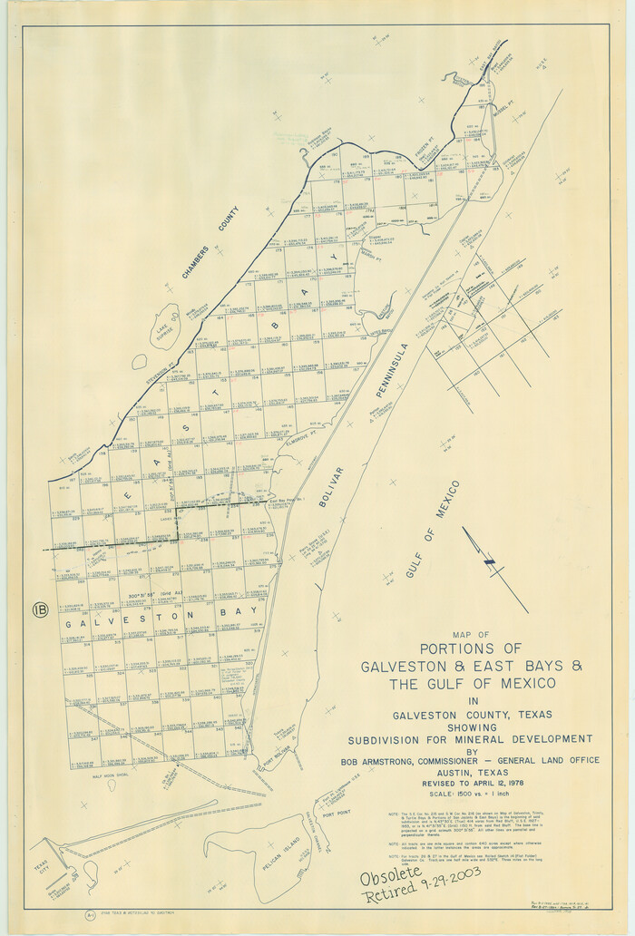
Portions of Galveston and East Bays and the Gulf of Mexico in Galveston County, showing Subdivision for Mineral Development
1978
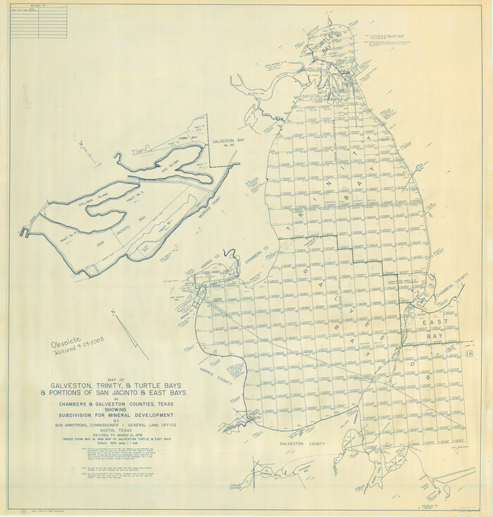
Galveston, Trinity, and Turtle Bays and Portions of San Jacinto and East Bays in Chambers and Galveston Counties, showing Subdivision for Mineral Development
1978

Sketch showing surveys on Harbor Island in Nueces County
1978

Office sketch of surveys on St. Joseph Island and Mustang Island in Aransas & Nueces Cos.
1978
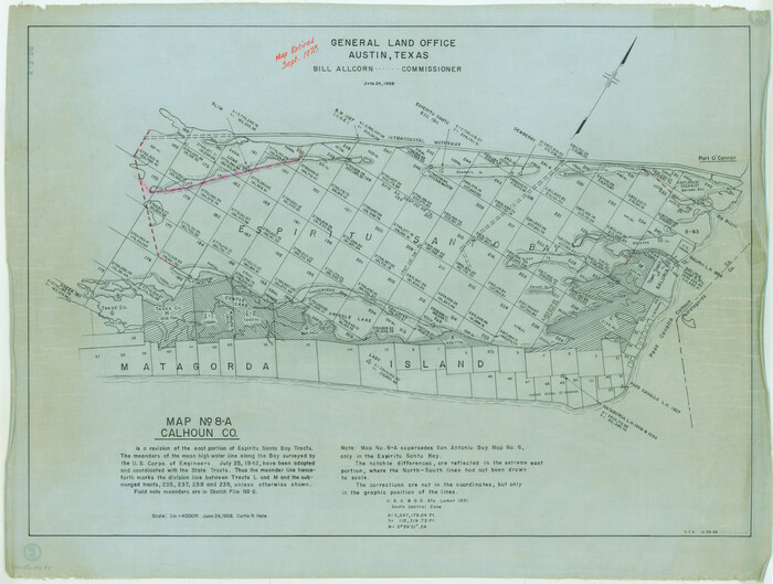
Map No. 8-A, Calhoun Co. - Revision of the East portion of Espiritu Santo Bay Tracts
1978
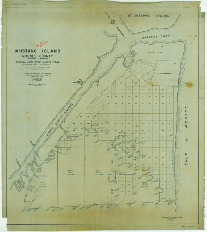
Mustang Island, Nueces County, Texas
1978
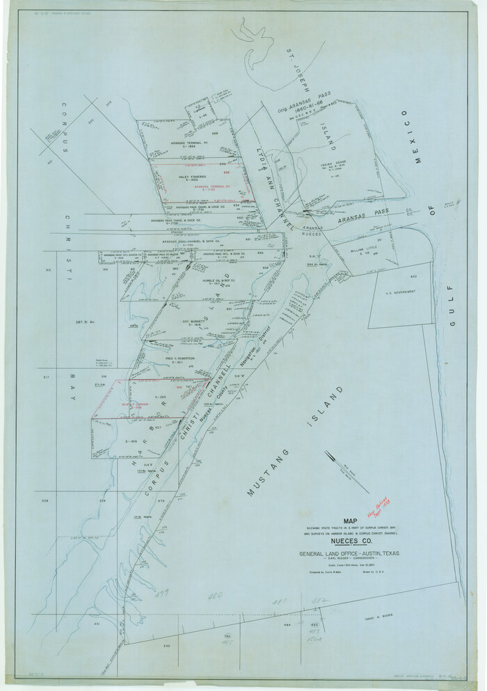
Map showing state tracts in E. part of Corpus Christi Bay and surveys on Harbor Island & Corpus Christi channel
1978
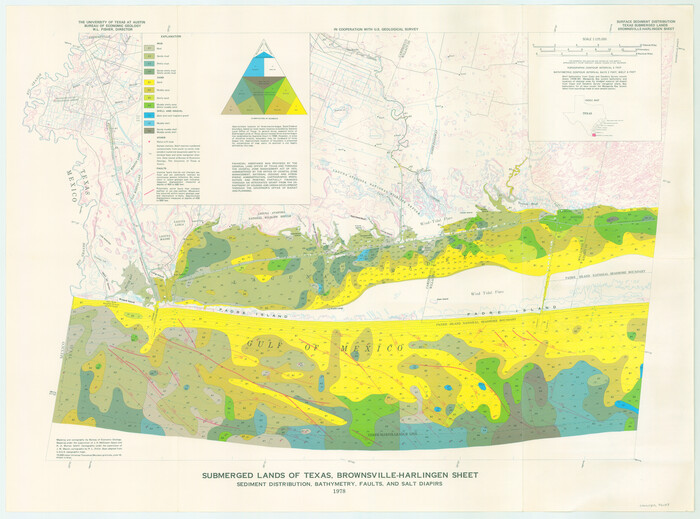
Submerged Lands of Texas, Brownsville-Harlingen Sheet
1978
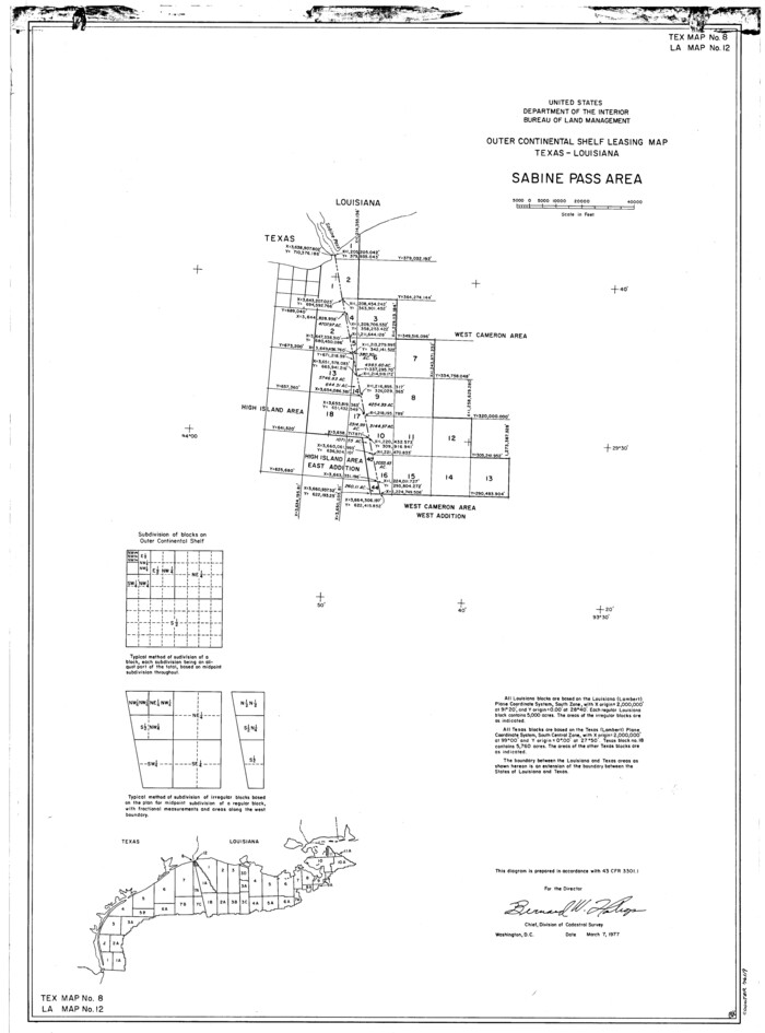
Outer Continental Shelf Leasing Maps (Louisiana Offshore Operations)
1977

Texas Gulf Coast, from the Sabine River to the Rio Grande as Subdivided for Mineral Development; Jefferson, Chambers and Galveston Counties
1976

Texas Gulf Coast, from the Sabine River to the Rio Grande as Subdivided for Mineral Development; Galveston, Brazoria and Matagorda Counties
1976

Texas Gulf Coast, from the Sabine River to the Rio Grande as Subdivided for Mineral Development; Matagorda, Calhoun and Aransas Counties
1976

Texas Gulf Coast, from the Sabine River to the Rio Grande as Subdivided for Mineral Development; Aransas, Nueces, Kleberg, Kenedy, Willacy, and Cameron Counties
1976
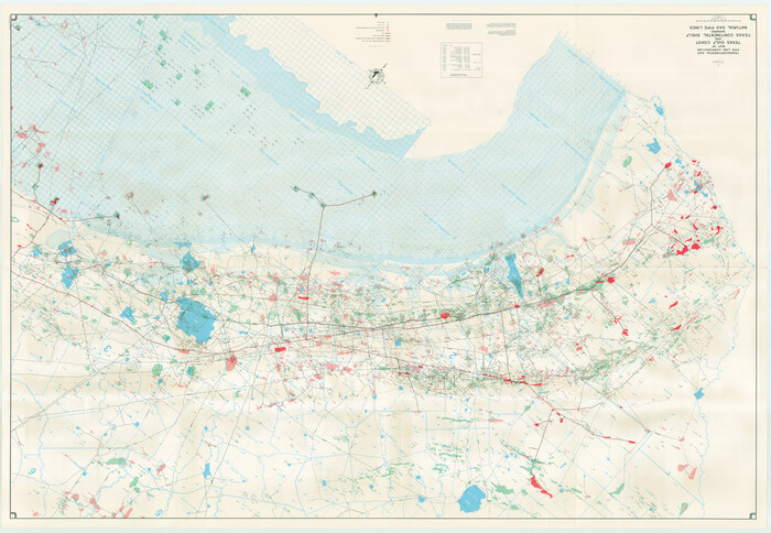
Map of Texas Gulf Coast and Texas Continental Shelf showing Natural Gas Pipe Lines
1973
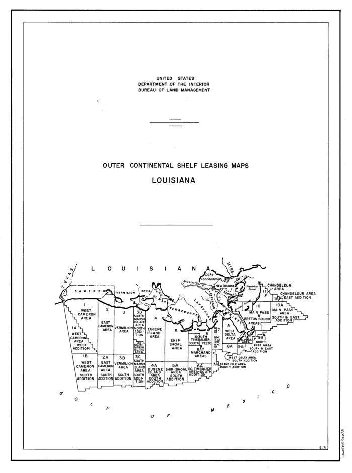
Outer Continental Shelf Leasing Maps (Louisiana Offshore Operations)
1971
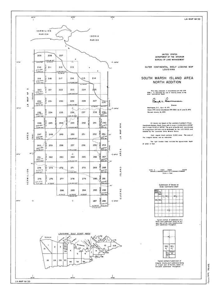
Outer Continental Shelf Leasing Maps (Louisiana Offshore Operations)
1971

Map of Texas Gulf Coast and Texas Continental Shelf showing Natural Gas Pipe Lines
1968

Texas Gulf Coast Map from the Sabine River to the Rio Grande as subdivided for mineral development
1966
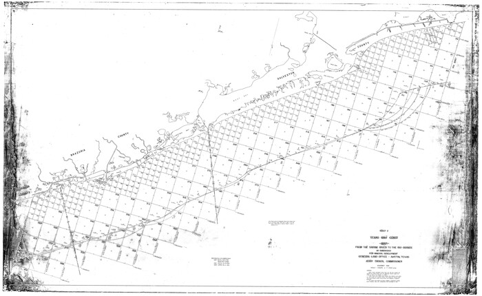
Texas Gulf Coast Map from the Sabine River to the Rio Grande as subdivided for mineral development
1966
Texas Gulf Coast Sheets 1, 2, 3, 4. Map from the Sabine River to the Rio Grande As Subdivided for Mineral Development.
1966
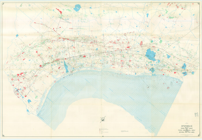
Map of Texas Gulf Coast and Texas Continental Shelf showing Natural Gas Pipe Lines
1966
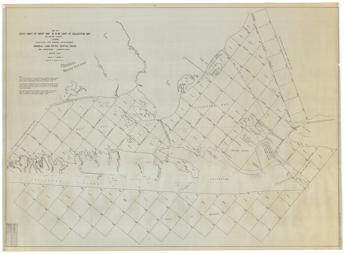
East Part of West Bay and Southwest Part of Galveston Bay, Galveston County, showing Subdivision for Mineral Development
1963

Part of Laguna Madre in Cameron County, showing Subdivision for Mineral Development
1963

Energy Map of Texas
2020
-
Size
36.0 x 36.0 inches
-
Map/Doc
96436
-
Creation Date
2020

Texas Land Commissioner George P. Bush's Energy Map of Texas Showing Significant Events and Well & Pipeline Locations Between 1543 and 2015
2015
-
Size
33.3 x 36.3 inches
-
Map/Doc
93978
-
Creation Date
2015
![60397, [Plat and field notes of 3.107 acre tract for Clement Cove Harbor Company], General Map Collection](https://historictexasmaps.com/wmedia_w700/maps/60397-1.tif.jpg)
[Plat and field notes of 3.107 acre tract for Clement Cove Harbor Company]
1987
-
Size
24.2 x 36.5 inches
-
Map/Doc
60397
-
Creation Date
1987

[Plat and field notes of 3.107 acre tract for Clement Cove Harbor Company]
1987
-
Size
13.7 x 8.5 inches
-
Map/Doc
60398
-
Creation Date
1987

Map of Texas Gulf Coast and Continental Shelf showing Natural Gas Pipe Lines
1983
-
Size
40.9 x 59.1 inches
-
Map/Doc
75969
-
Creation Date
1983

Revised map of west half of Sabine Lake and Sabine Pass, showing subdivision for mineral development; Jefferson and Orange Counties
1979
-
Size
72.1 x 41.5 inches
-
Map/Doc
1935
-
Creation Date
1979

Map of Texas Gulf Coast and Continental Shelf showing Natural Gas Pipe Lines
1979
-
Size
40.9 x 59.3 inches
-
Map/Doc
75905
-
Creation Date
1979

Portions of Galveston and East Bays and the Gulf of Mexico in Galveston County, showing Subdivision for Mineral Development
1978
-
Size
38.1 x 25.8 inches
-
Map/Doc
1904
-
Creation Date
1978

Galveston, Trinity, and Turtle Bays and Portions of San Jacinto and East Bays in Chambers and Galveston Counties, showing Subdivision for Mineral Development
1978
-
Size
46.0 x 43.9 inches
-
Map/Doc
1905
-
Creation Date
1978

Sketch showing surveys on Harbor Island in Nueces County
1978
-
Size
46.4 x 36.0 inches
-
Map/Doc
2020
-
Creation Date
1978

Office sketch of surveys on St. Joseph Island and Mustang Island in Aransas & Nueces Cos.
1978
-
Size
42.8 x 17.7 inches
-
Map/Doc
2252
-
Creation Date
1978

Map No. 8-A, Calhoun Co. - Revision of the East portion of Espiritu Santo Bay Tracts
1978
-
Size
21.2 x 28.0 inches
-
Map/Doc
2498
-
Creation Date
1978

Mustang Island, Nueces County, Texas
1978
-
Size
40.7 x 36.2 inches
-
Map/Doc
2500
-
Creation Date
1978

Map showing state tracts in E. part of Corpus Christi Bay and surveys on Harbor Island & Corpus Christi channel
1978
-
Size
53.4 x 37.7 inches
-
Map/Doc
2501
-
Creation Date
1978

Submerged Lands of Texas, Brownsville-Harlingen Sheet
1978
-
Size
23.9 x 32.2 inches
-
Map/Doc
76129
-
Creation Date
1978

Outer Continental Shelf Leasing Maps (Louisiana Offshore Operations)
1977
-
Size
29.6 x 21.9 inches
-
Map/Doc
76119
-
Creation Date
1977

Texas Gulf Coast, from the Sabine River to the Rio Grande as Subdivided for Mineral Development; Jefferson, Chambers and Galveston Counties
1976
-
Size
29.0 x 42.5 inches
-
Map/Doc
1937
-
Creation Date
1976

Texas Gulf Coast, from the Sabine River to the Rio Grande as Subdivided for Mineral Development; Galveston, Brazoria and Matagorda Counties
1976
-
Size
43.8 x 69.3 inches
-
Map/Doc
1938
-
Creation Date
1976

Texas Gulf Coast, from the Sabine River to the Rio Grande as Subdivided for Mineral Development; Matagorda, Calhoun and Aransas Counties
1976
-
Size
43.0 x 90.9 inches
-
Map/Doc
1939
-
Creation Date
1976

Texas Gulf Coast, from the Sabine River to the Rio Grande as Subdivided for Mineral Development; Aransas, Nueces, Kleberg, Kenedy, Willacy, and Cameron Counties
1976
-
Size
118.0 x 43.0 inches
-
Map/Doc
1940
-
Creation Date
1976

Map of Texas Gulf Coast and Texas Continental Shelf showing Natural Gas Pipe Lines
1973
-
Size
41.6 x 60.1 inches
-
Map/Doc
75904
-
Creation Date
1973

Outer Continental Shelf Leasing Maps (Louisiana Offshore Operations)
1971
-
Size
20.2 x 15.0 inches
-
Map/Doc
76092
-
Creation Date
1971

Outer Continental Shelf Leasing Maps (Louisiana Offshore Operations)
1971
-
Size
18.7 x 13.9 inches
-
Map/Doc
76102
-
Creation Date
1971

Map of Texas Gulf Coast and Texas Continental Shelf showing Natural Gas Pipe Lines
1968
-
Size
39.4 x 57.1 inches
-
Map/Doc
75903
-
Creation Date
1968

Texas Gulf Coast Map from the Sabine River to the Rio Grande as subdivided for mineral development
1966
-
Size
29.1 x 41.7 inches
-
Map/Doc
2496
-
Creation Date
1966

Texas Gulf Coast Map from the Sabine River to the Rio Grande as subdivided for mineral development
1966
-
Size
42.8 x 69.7 inches
-
Map/Doc
2497
-
Creation Date
1966

Texas Gulf Coast Sheets 1, 2, 3, 4. Map from the Sabine River to the Rio Grande As Subdivided for Mineral Development.
1966
-
Size
88.6 x 42.7 inches
-
Map/Doc
2903
-
Creation Date
1966

Map of Texas Gulf Coast and Texas Continental Shelf showing Natural Gas Pipe Lines
1966
-
Size
39.6 x 57.0 inches
-
Map/Doc
75902
-
Creation Date
1966

East Part of West Bay and Southwest Part of Galveston Bay, Galveston County, showing Subdivision for Mineral Development
1963
-
Size
42.2 x 58.2 inches
-
Map/Doc
1906
-
Creation Date
1963

Part of Laguna Madre in Cameron County, showing Subdivision for Mineral Development
1963
-
Size
45.8 x 36.0 inches
-
Map/Doc
1926
-
Creation Date
1963