339 results

A Portion of the State's Submerged Oil Field, Goose Creek - Harris County - Texas
3165.tif
Print $20.00 - Digital $50.00

A Portion of the State's Submerged Oil Field, Goose Creek - Harris County - Texas

1919

Size: 14.2 x 17.3 inches
3165
Baffin and Alazan Bays, Cayo Infiernillo in Kenedy and Kleberg Counties, showing Subdivision for Mineral Development
1923.tif
Print $40.00 - Digital $50.00

Baffin and Alazan Bays, Cayo Infiernillo in Kenedy and Kleberg Counties, showing Subdivision for Mineral Development

1949
Size: 33.0 x 52.4 inches
1923
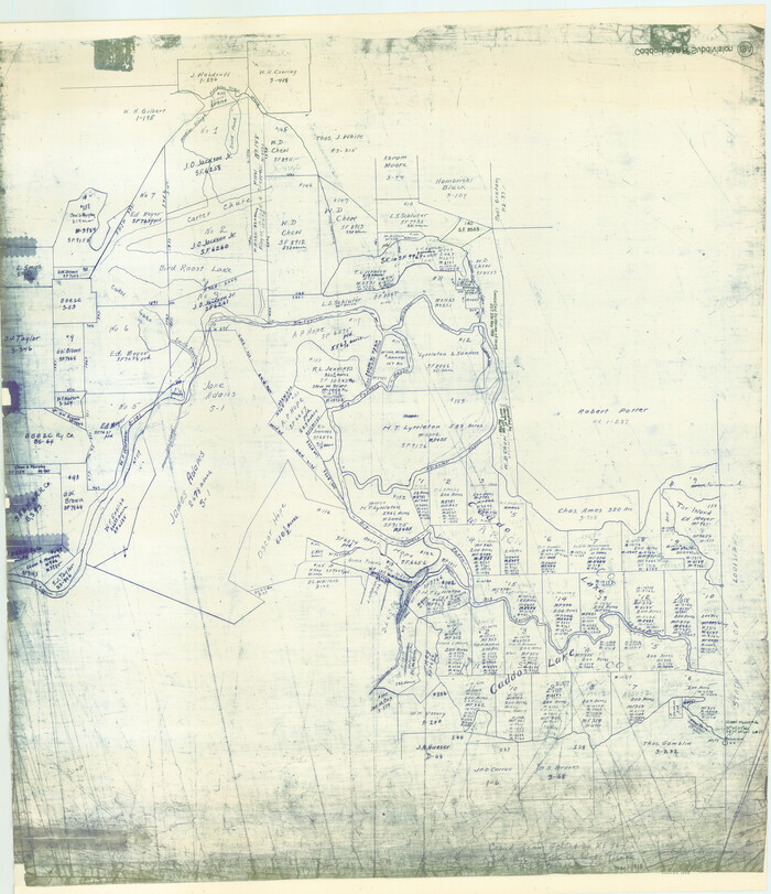
Caddo Lake Subdivision, Copied from Sketch in MF 000964
1929.tif
Print $20.00 - Digital $50.00

Caddo Lake Subdivision, Copied from Sketch in MF 000964

1918

Size: 32.5 x 28.0 inches
1929
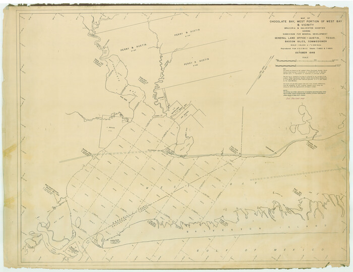
Chocolate Bay, West Portion of West Bay and Vicinity, Brazoria and Galveston Counties, showing Subdivision for Mineral Development
1907.tif
Print $40.00 - Digital $50.00

Chocolate Bay, West Portion of West Bay and Vicinity, Brazoria and Galveston Counties, showing Subdivision for Mineral Development

1948
Size: 40.7 x 53.9 inches
1907
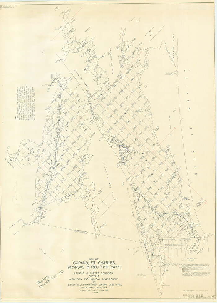
Chocolate Bay, West Portion of West Bay and Vicinity, and Galveston Cos. Showing Subdivision for Mineral Development.
3012.tif
Print $40.00 - Digital $50.00

Chocolate Bay, West Portion of West Bay and Vicinity, and Galveston Cos. Showing Subdivision for Mineral Development.

1948
Size: 43.0 x 55.9 inches
3012
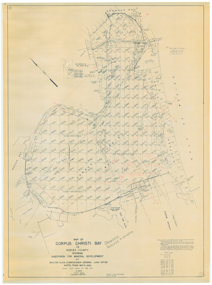
Copano, St. Charles, Aransas and Red Fish Bays, in Aransas and Nueces Counties, showing Subdivision for Mineral Development
1914.tif
Print $40.00 - Digital $50.00

Copano, St. Charles, Aransas and Red Fish Bays, in Aransas and Nueces Counties, showing Subdivision for Mineral Development

1949
Size: 55.9 x 40.0 inches
1914
Corpus Christi Bay in Nueces County, showing Subdivision for Mineral Development
1917.tif
Print $40.00 - Digital $50.00

Corpus Christi Bay in Nueces County, showing Subdivision for Mineral Development

1950
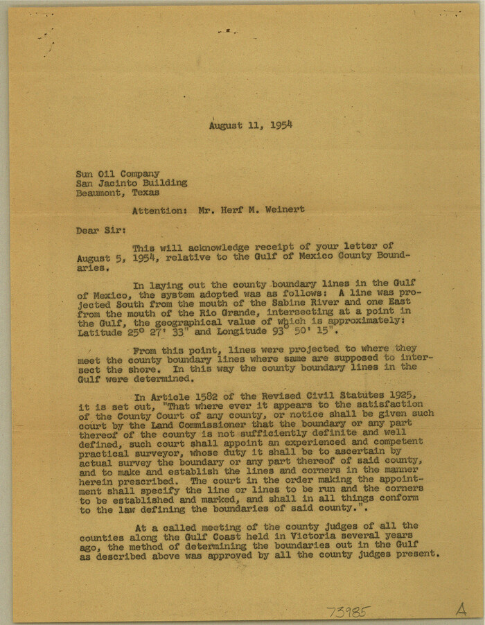
Size: 48.4 x 36.0 inches
1917
Current Miscellaneous File 44
73985, Current Miscellaneous File 44, General Map Collection
Print $10.00 - Digital $50.00

Current Miscellaneous File 44

1954

Size: 11.3 x 8.8 inches
73985
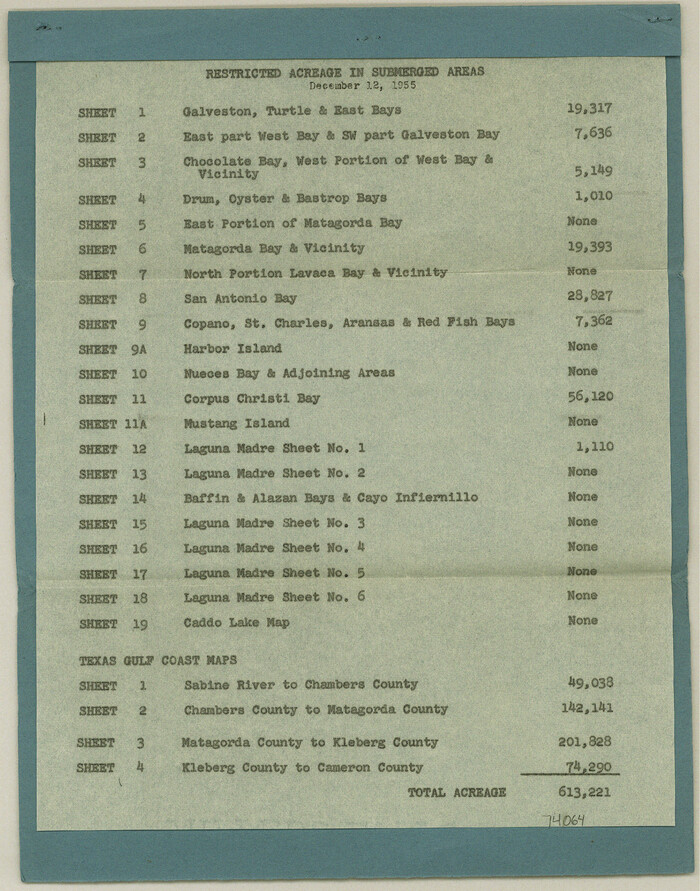
Current Miscellaneous File 60
74064, Current Miscellaneous File 60, General Map Collection
Print $4.00 - Digital $50.00

Current Miscellaneous File 60

1955

Size: 11.9 x 9.4 inches
74064
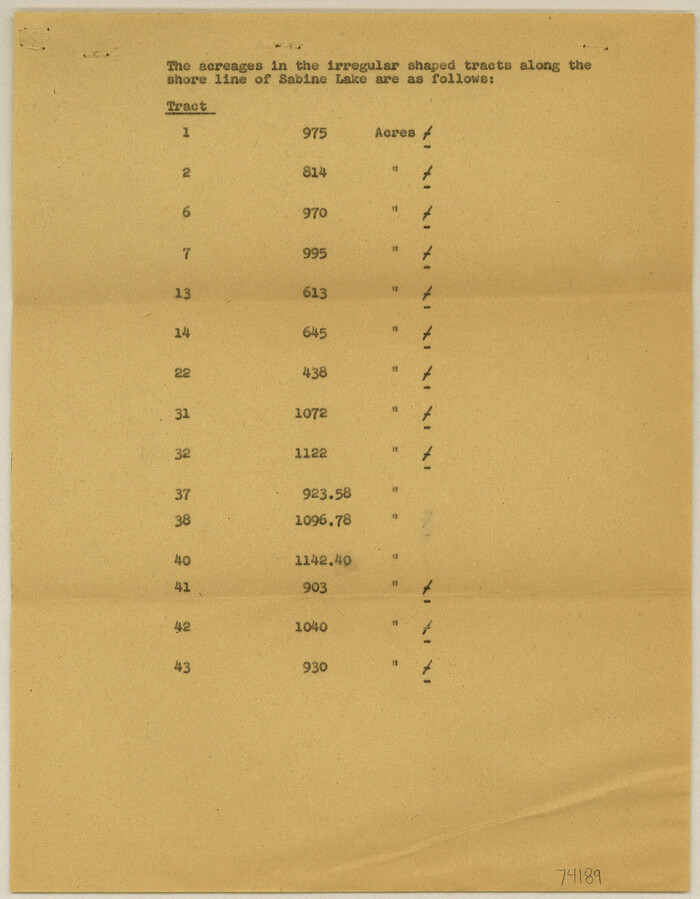
Current Miscellaneous File 76
74189, Current Miscellaneous File 76, General Map Collection
Print $10.00 - Digital $50.00

Current Miscellaneous File 76

1960

Size: 11.3 x 8.8 inches
74189
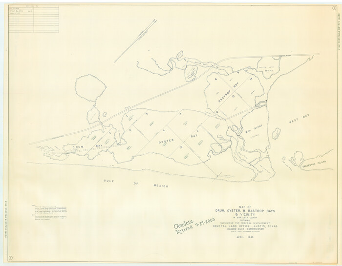
Drum, Oyster and Bastrop Bays and Vicinity; Brazoria County, showing Subdivision for Mineral Development
1908.tif
Print $20.00 - Digital $50.00

Drum, Oyster and Bastrop Bays and Vicinity; Brazoria County, showing Subdivision for Mineral Development

1949
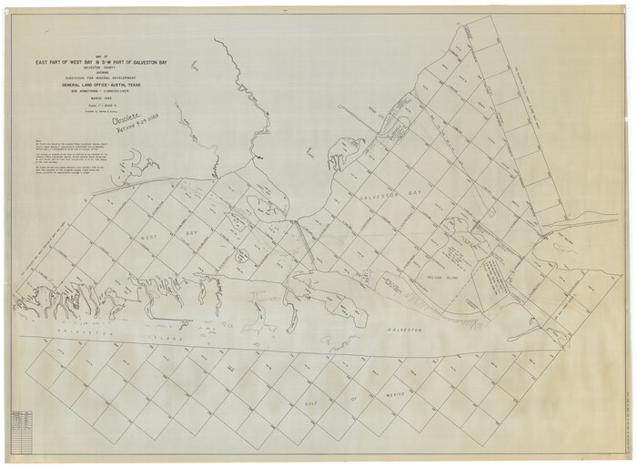
Size: 35.4 x 45.4 inches
1908
East Part of West Bay and Southwest Part of Galveston Bay, Galveston County, showing Subdivision for Mineral Development
1906-GC.tif
Print $40.00 - Digital $50.00

East Part of West Bay and Southwest Part of Galveston Bay, Galveston County, showing Subdivision for Mineral Development

1963

Size: 42.2 x 58.2 inches
1906
East Portion of Matagorda Bay in Matagorda County, showing Subdivision for Mineral Development
1909.tif
Print $40.00 - Digital $50.00

East Portion of Matagorda Bay in Matagorda County, showing Subdivision for Mineral Development

1949

Size: 30.8 x 51.1 inches
1909
Energy Map of Texas
96436-1.tif
Print $20.00 - Digital $50.00

Energy Map of Texas

2020

Size: 36.0 x 36.0 inches
96436
Espiritu Santo Bay, Calhoun County, showing Subdivision for Mineral Development
1913.tif
Print $20.00 - Digital $50.00

Espiritu Santo Bay, Calhoun County, showing Subdivision for Mineral Development

1958
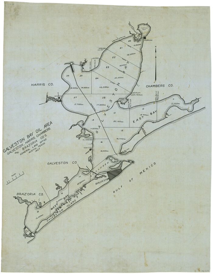
Size: 20.1 x 28.0 inches
1913
Galveston Bay Oil Area, Galveston, Harris, Chambers and Brazoria Cos.
2938.tif
Print $40.00 - Digital $50.00

Galveston Bay Oil Area, Galveston, Harris, Chambers and Brazoria Cos.

1927
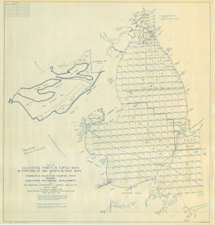
Size: 52.9 x 40.8 inches
2938
Galveston, Trinity, and Turtle Bays and Portions of San Jacinto and East Bays in Chambers and Galveston Counties, showing Subdivision for Mineral Development
1905.tif
Print $20.00 - Digital $50.00

Galveston, Trinity, and Turtle Bays and Portions of San Jacinto and East Bays in Chambers and Galveston Counties, showing Subdivision for Mineral Development

1978
Size: 46.0 x 43.9 inches
1905
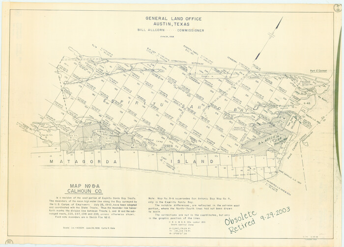
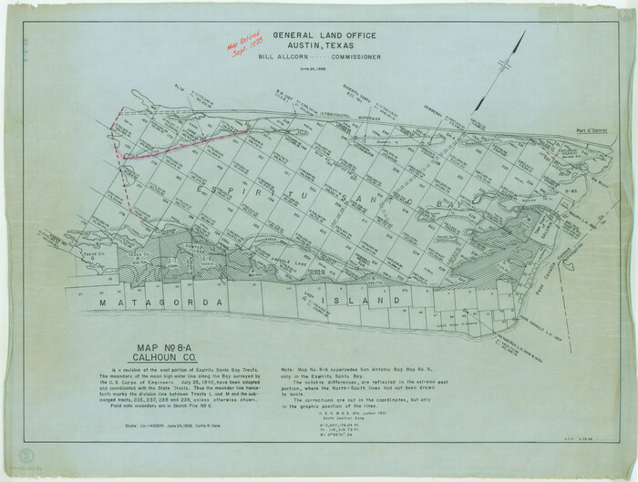
Map No. 8-A, Calhoun Co. - Revision of the East portion of Espiritu Santo Bay Tracts
2498.tif
Print $5.00 - Digital $50.00

Map No. 8-A, Calhoun Co. - Revision of the East portion of Espiritu Santo Bay Tracts

1978
Size: 21.2 x 28.0 inches
2498
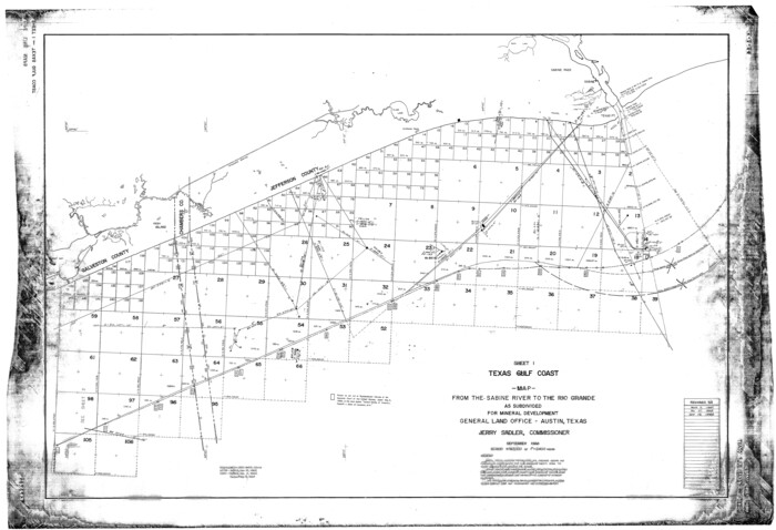
Map from the Sabine River to the Rio Grande as subdivided for mineral development
65801.tif
Print $20.00 - Digital $50.00

Map from the Sabine River to the Rio Grande as subdivided for mineral development
Size: 30.6 x 44.8 inches
65801
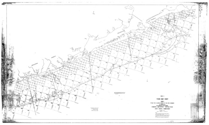
Map from the Sabine River to the Rio Grande as subdivided for mineral development
65802.tif
Print $40.00 - Digital $50.00

Map from the Sabine River to the Rio Grande as subdivided for mineral development

Size: 43.5 x 72.5 inches
65802
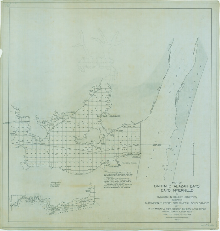
Map of Baffin & Alazan Bays, Cayo Infiernillo in Kenedy & Kleberg Counties Showing Subdivision for Mineral Development
3016.tif
Print $20.00 - Digital $50.00

Map of Baffin & Alazan Bays, Cayo Infiernillo in Kenedy & Kleberg Counties Showing Subdivision for Mineral Development

1937

Size: 42.4 x 40.4 inches
3016
Map of Baffin & Alazan Bays, Cayo Infiernillo in Kenedy & Kleberg Counties Showing Subdivision for Mineral Development
3017.tif
Print $40.00 - Digital $50.00

Map of Baffin & Alazan Bays, Cayo Infiernillo in Kenedy & Kleberg Counties Showing Subdivision for Mineral Development

1949
Size: 30.5 x 54.2 inches
3017
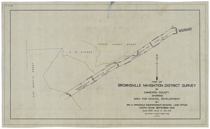
Map of Brownsville Navigation District survey in Cameron County showing area for mineral development
2731.tif
Print $20.00 - Digital $50.00

Map of Brownsville Navigation District survey in Cameron County showing area for mineral development

1938
Size: 22.3 x 36.5 inches
2731
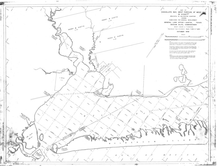
Map of Chocolate Bay, west portion of West Bay & vicinity, Brazoria & Galveston Counties showing subdivision for mineral development
2974.tif
Print $40.00 - Digital $50.00

Map of Chocolate Bay, west portion of West Bay & vicinity, Brazoria & Galveston Counties showing subdivision for mineral development

1948
Size: 42.2 x 55.2 inches
2974
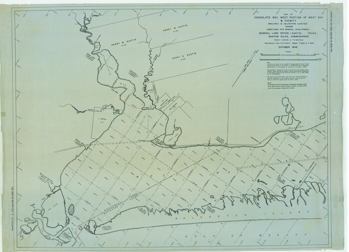
Map of Chocolate Bay, west portion of West Bay & vicinity, Brazoria & Galveston Counties showing subdivision for mineral development
65806.tif
Print $40.00 - Digital $50.00

Map of Chocolate Bay, west portion of West Bay & vicinity, Brazoria & Galveston Counties showing subdivision for mineral development

Size: 42.0 x 58.1 inches
65806
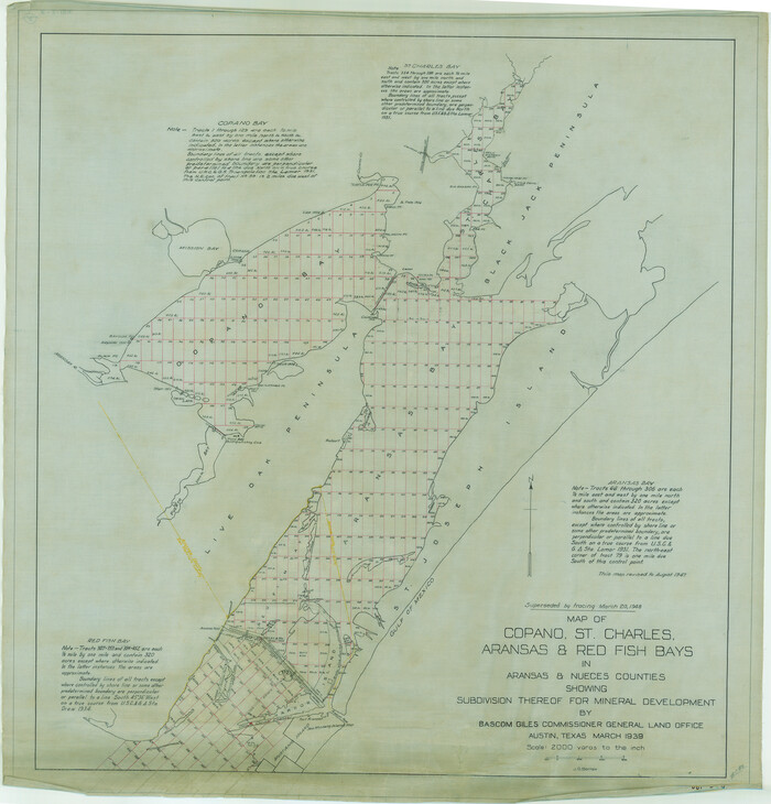
Map of Copano, St. Charles, Aransas & Red Fish Bays in Aransas & Nueces Counties showing subdivision thereof for Mineral Development
2296.tif
Print $20.00 - Digital $50.00

Map of Copano, St. Charles, Aransas & Red Fish Bays in Aransas & Nueces Counties showing subdivision thereof for Mineral Development

1939
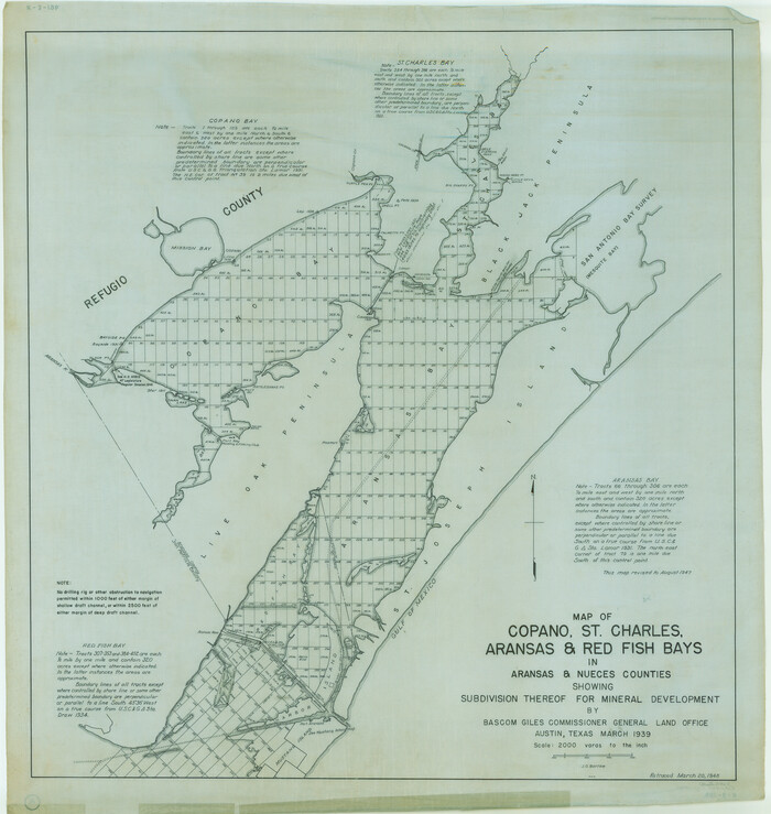
Size: 35.9 x 34.4 inches
2296
Map of Copano, St. Charles, Aransas & Red Fish Bays in Aransas & Nueces Counties showing subdivision thereof for Mineral Development
2923.tif
Print $20.00 - Digital $50.00

Map of Copano, St. Charles, Aransas & Red Fish Bays in Aransas & Nueces Counties showing subdivision thereof for Mineral Development

1948
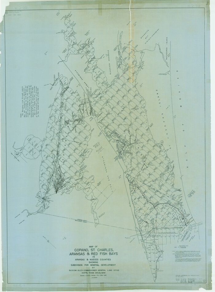
Size: 35.9 x 34.0 inches
2923
Map of Copano, St. Charles, Aransas & Red Fish Bays in Aransas & Nueces Counties showing subdivision thereof for mineral development
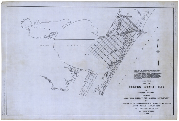
65805.tif
Print $40.00 - Digital $50.00

Map of Copano, St. Charles, Aransas & Red Fish Bays in Aransas & Nueces Counties showing subdivision thereof for mineral development

Size: 57.9 x 42.7 inches
65805
Map of Corpus Christi Bay in Nueces County Showing Subdivision Thereof for Mineral Development
2941.tif
Print $20.00 - Digital $50.00

Map of Corpus Christi Bay in Nueces County Showing Subdivision Thereof for Mineral Development

1940
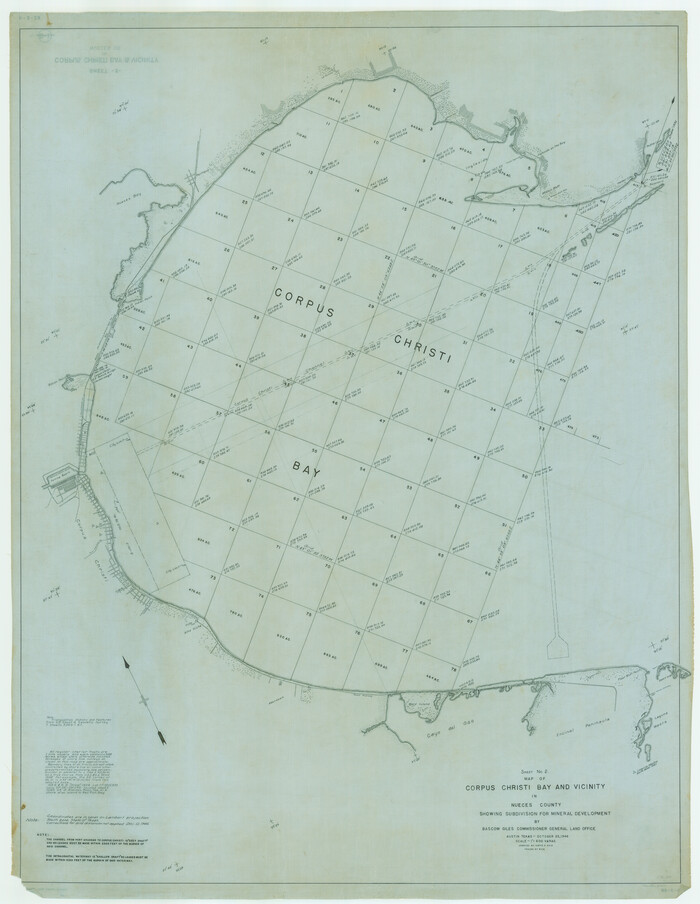
Size: 23.3 x 34.7 inches
2941
Map of Corpus Christi Bay in Nueces County Showing Subdivision Thereof for Mineral Development
2942.tif
Print $40.00 - Digital $50.00

Map of Corpus Christi Bay in Nueces County Showing Subdivision Thereof for Mineral Development

1946

Size: 55.9 x 43.3 inches
2942
A Portion of the State's Submerged Oil Field, Goose Creek - Harris County - Texas
3165, A Portion of the State's Submerged Oil Field, Goose Creek - Harris County - Texas, General Map Collection
Print $20.00 - Digital $50.00

A Portion of the State's Submerged Oil Field, Goose Creek - Harris County - Texas

1919

  • Size

    14.2 x 17.3 inches

  • Map/Doc

    3165

  • Creation Date

    1919

Baffin and Alazan Bays, Cayo Infiernillo in Kenedy and Kleberg Counties, showing Subdivision for Mineral Development
1923, Baffin and Alazan Bays, Cayo Infiernillo in Kenedy and Kleberg Counties, showing Subdivision for Mineral Development, General Map Collection
Print $40.00 - Digital $50.00

Baffin and Alazan Bays, Cayo Infiernillo in Kenedy and Kleberg Counties, showing Subdivision for Mineral Development

1949

  • Size

    33.0 x 52.4 inches

  • Map/Doc

    1923

  • Creation Date

    1949

Caddo Lake Subdivision, Copied from Sketch in MF 000964
1929, Caddo Lake Subdivision, Copied from Sketch in MF 000964, General Map Collection
Print $20.00 - Digital $50.00

Caddo Lake Subdivision, Copied from Sketch in MF 000964

1918

  • Size

    32.5 x 28.0 inches

  • Map/Doc

    1929

  • Creation Date

    1918

Chocolate Bay, West Portion of West Bay and Vicinity, Brazoria and Galveston Counties, showing Subdivision for Mineral Development
1907, Chocolate Bay, West Portion of West Bay and Vicinity, Brazoria and Galveston Counties, showing Subdivision for Mineral Development, General Map Collection
Print $40.00 - Digital $50.00

Chocolate Bay, West Portion of West Bay and Vicinity, Brazoria and Galveston Counties, showing Subdivision for Mineral Development

1948

  • Size

    40.7 x 53.9 inches

  • Map/Doc

    1907

  • Creation Date

    1948

Chocolate Bay, West Portion of West Bay and Vicinity, and Galveston Cos. Showing Subdivision for Mineral Development.
3012, Chocolate Bay, West Portion of West Bay and Vicinity, and Galveston Cos. Showing Subdivision for Mineral Development., General Map Collection
Print $40.00 - Digital $50.00

Chocolate Bay, West Portion of West Bay and Vicinity, and Galveston Cos. Showing Subdivision for Mineral Development.

1948

  • Size

    43.0 x 55.9 inches

  • Map/Doc

    3012

  • Creation Date

    1948

Copano, St. Charles, Aransas and Red Fish Bays, in Aransas and Nueces Counties, showing Subdivision for Mineral Development
1914, Copano, St. Charles, Aransas and Red Fish Bays, in Aransas and Nueces Counties, showing Subdivision for Mineral Development, General Map Collection
Print $40.00 - Digital $50.00

Copano, St. Charles, Aransas and Red Fish Bays, in Aransas and Nueces Counties, showing Subdivision for Mineral Development

1949

  • Size

    55.9 x 40.0 inches

  • Map/Doc

    1914

  • Creation Date

    1949

Corpus Christi Bay in Nueces County, showing Subdivision for Mineral Development
1917, Corpus Christi Bay in Nueces County, showing Subdivision for Mineral Development, General Map Collection
Print $40.00 - Digital $50.00

Corpus Christi Bay in Nueces County, showing Subdivision for Mineral Development

1950

  • Size

    48.4 x 36.0 inches

  • Map/Doc

    1917

  • Creation Date

    1950

Current Miscellaneous File 44
73985, Current Miscellaneous File 44, General Map Collection
Print $10.00 - Digital $50.00

Current Miscellaneous File 44

1954

  • Size

    11.3 x 8.8 inches

  • Map/Doc

    73985

  • Creation Date

    1954

Current Miscellaneous File 60
74064, Current Miscellaneous File 60, General Map Collection
Print $4.00 - Digital $50.00

Current Miscellaneous File 60

1955

  • Size

    11.9 x 9.4 inches

  • Map/Doc

    74064

  • Creation Date

    1955

Current Miscellaneous File 76
74189, Current Miscellaneous File 76, General Map Collection
Print $10.00 - Digital $50.00

Current Miscellaneous File 76

1960

  • Size

    11.3 x 8.8 inches

  • Map/Doc

    74189

  • Creation Date

    1960

Drum, Oyster and Bastrop Bays and Vicinity; Brazoria County, showing Subdivision for Mineral Development
1908, Drum, Oyster and Bastrop Bays and Vicinity; Brazoria County, showing Subdivision for Mineral Development, General Map Collection
Print $20.00 - Digital $50.00

Drum, Oyster and Bastrop Bays and Vicinity; Brazoria County, showing Subdivision for Mineral Development

1949

  • Size

    35.4 x 45.4 inches

  • Map/Doc

    1908

  • Creation Date

    1949

East Part of West Bay and Southwest Part of Galveston Bay, Galveston County, showing Subdivision for Mineral Development
1906, East Part of West Bay and Southwest Part of Galveston Bay, Galveston County, showing Subdivision for Mineral Development, General Map Collection
Print $40.00 - Digital $50.00

East Part of West Bay and Southwest Part of Galveston Bay, Galveston County, showing Subdivision for Mineral Development

1963

  • Size

    42.2 x 58.2 inches

  • Map/Doc

    1906

  • Creation Date

    1963

East Portion of Matagorda Bay in Matagorda County, showing Subdivision for Mineral Development
1909, East Portion of Matagorda Bay in Matagorda County, showing Subdivision for Mineral Development, General Map Collection
Print $40.00 - Digital $50.00

East Portion of Matagorda Bay in Matagorda County, showing Subdivision for Mineral Development

1949

  • Size

    30.8 x 51.1 inches

  • Map/Doc

    1909

  • Creation Date

    1949

Energy Map of Texas
96436, Energy Map of Texas, General Map Collection
Print $20.00 - Digital $50.00

Energy Map of Texas

2020

  • Size

    36.0 x 36.0 inches

  • Map/Doc

    96436

  • Creation Date

    2020

Espiritu Santo Bay, Calhoun County, showing Subdivision for Mineral Development
1913, Espiritu Santo Bay, Calhoun County, showing Subdivision for Mineral Development, General Map Collection
Print $20.00 - Digital $50.00

Espiritu Santo Bay, Calhoun County, showing Subdivision for Mineral Development

1958

  • Size

    20.1 x 28.0 inches

  • Map/Doc

    1913

  • Creation Date

    1958

Galveston Bay Oil Area, Galveston, Harris, Chambers and Brazoria Cos.
2938, Galveston Bay Oil Area, Galveston, Harris, Chambers and Brazoria Cos., General Map Collection
Print $40.00 - Digital $50.00

Galveston Bay Oil Area, Galveston, Harris, Chambers and Brazoria Cos.

1927

  • Size

    52.9 x 40.8 inches

  • Map/Doc

    2938

  • Creation Date

    1927

Galveston, Trinity, and Turtle Bays and Portions of San Jacinto and East Bays in Chambers and Galveston Counties, showing Subdivision for Mineral Development
1905, Galveston, Trinity, and Turtle Bays and Portions of San Jacinto and East Bays in Chambers and Galveston Counties, showing Subdivision for Mineral Development, General Map Collection
Print $20.00 - Digital $50.00

Galveston, Trinity, and Turtle Bays and Portions of San Jacinto and East Bays in Chambers and Galveston Counties, showing Subdivision for Mineral Development

1978

  • Size

    46.0 x 43.9 inches

  • Map/Doc

    1905

  • Creation Date

    1978

Map No. 8-A, Calhoun Co. - Revision of the East portion of Espiritu Santo Bay Tracts
2498, Map No. 8-A, Calhoun Co. - Revision of the East portion of Espiritu Santo Bay Tracts, General Map Collection
Print $5.00 - Digital $50.00

Map No. 8-A, Calhoun Co. - Revision of the East portion of Espiritu Santo Bay Tracts

1978

  • Size

    21.2 x 28.0 inches

  • Map/Doc

    2498

  • Creation Date

    1978

Map from the Sabine River to the Rio Grande as subdivided for mineral development
65801, Map from the Sabine River to the Rio Grande as subdivided for mineral development, General Map Collection
Print $20.00 - Digital $50.00

Map from the Sabine River to the Rio Grande as subdivided for mineral development

  • Size

    30.6 x 44.8 inches

  • Map/Doc

    65801

Map from the Sabine River to the Rio Grande as subdivided for mineral development
65802, Map from the Sabine River to the Rio Grande as subdivided for mineral development, General Map Collection
Print $40.00 - Digital $50.00

Map from the Sabine River to the Rio Grande as subdivided for mineral development

  • Size

    43.5 x 72.5 inches

  • Map/Doc

    65802

Map of Baffin & Alazan Bays, Cayo Infiernillo in Kenedy & Kleberg Counties Showing Subdivision for Mineral Development
3016, Map of Baffin & Alazan Bays, Cayo Infiernillo in Kenedy & Kleberg Counties Showing Subdivision for Mineral Development, General Map Collection
Print $20.00 - Digital $50.00

Map of Baffin & Alazan Bays, Cayo Infiernillo in Kenedy & Kleberg Counties Showing Subdivision for Mineral Development

1937

  • Size

    42.4 x 40.4 inches

  • Map/Doc

    3016

  • Creation Date

    1937

Map of Baffin & Alazan Bays, Cayo Infiernillo in Kenedy & Kleberg Counties Showing Subdivision for Mineral Development
3017, Map of Baffin & Alazan Bays, Cayo Infiernillo in Kenedy & Kleberg Counties Showing Subdivision for Mineral Development, General Map Collection
Print $40.00 - Digital $50.00

Map of Baffin & Alazan Bays, Cayo Infiernillo in Kenedy & Kleberg Counties Showing Subdivision for Mineral Development

1949

  • Size

    30.5 x 54.2 inches

  • Map/Doc

    3017

  • Creation Date

    1949

Map of Brownsville Navigation District survey in Cameron County showing area for mineral development
2731, Map of Brownsville Navigation District survey in Cameron County showing area for mineral development, General Map Collection
Print $20.00 - Digital $50.00

Map of Brownsville Navigation District survey in Cameron County showing area for mineral development

1938

  • Size

    22.3 x 36.5 inches

  • Map/Doc

    2731

  • Creation Date

    1938

Map of Chocolate Bay, west portion of West Bay & vicinity, Brazoria & Galveston Counties showing subdivision for mineral development
2974, Map of Chocolate Bay, west portion of West Bay & vicinity, Brazoria & Galveston Counties showing subdivision for mineral development, General Map Collection
Print $40.00 - Digital $50.00

Map of Chocolate Bay, west portion of West Bay & vicinity, Brazoria & Galveston Counties showing subdivision for mineral development

1948

  • Size

    42.2 x 55.2 inches

  • Map/Doc

    2974

  • Creation Date

    1948

Map of Chocolate Bay, west portion of West Bay & vicinity, Brazoria & Galveston Counties showing subdivision for mineral development
65806, Map of Chocolate Bay, west portion of West Bay & vicinity, Brazoria & Galveston Counties showing subdivision for mineral development, General Map Collection
Print $40.00 - Digital $50.00

Map of Chocolate Bay, west portion of West Bay & vicinity, Brazoria & Galveston Counties showing subdivision for mineral development

  • Size

    42.0 x 58.1 inches

  • Map/Doc

    65806

Map of Copano, St. Charles, Aransas & Red Fish Bays in Aransas & Nueces Counties showing subdivision thereof for Mineral Development
2296, Map of Copano, St. Charles, Aransas & Red Fish Bays in Aransas & Nueces Counties showing subdivision thereof for Mineral Development, General Map Collection
Print $20.00 - Digital $50.00

Map of Copano, St. Charles, Aransas & Red Fish Bays in Aransas & Nueces Counties showing subdivision thereof for Mineral Development

1939

  • Size

    35.9 x 34.4 inches

  • Map/Doc

    2296

  • Creation Date

    1939

Map of Copano, St. Charles, Aransas & Red Fish Bays in Aransas & Nueces Counties showing subdivision thereof for Mineral Development
2923, Map of Copano, St. Charles, Aransas & Red Fish Bays in Aransas & Nueces Counties showing subdivision thereof for Mineral Development, General Map Collection
Print $20.00 - Digital $50.00

Map of Copano, St. Charles, Aransas & Red Fish Bays in Aransas & Nueces Counties showing subdivision thereof for Mineral Development

1948

  • Size

    35.9 x 34.0 inches

  • Map/Doc

    2923

  • Creation Date

    1948

Map of Copano, St. Charles, Aransas & Red Fish Bays in Aransas & Nueces Counties showing subdivision thereof for mineral development
65805, Map of Copano, St. Charles, Aransas & Red Fish Bays in Aransas & Nueces Counties showing subdivision thereof for mineral development, General Map Collection
Print $40.00 - Digital $50.00

Map of Copano, St. Charles, Aransas & Red Fish Bays in Aransas & Nueces Counties showing subdivision thereof for mineral development

  • Size

    57.9 x 42.7 inches

  • Map/Doc

    65805

Map of Corpus Christi Bay in Nueces County Showing Subdivision Thereof for Mineral Development
2941, Map of Corpus Christi Bay in Nueces County Showing Subdivision Thereof for Mineral Development, General Map Collection
Print $20.00 - Digital $50.00

Map of Corpus Christi Bay in Nueces County Showing Subdivision Thereof for Mineral Development

1940

  • Size

    23.3 x 34.7 inches

  • Map/Doc

    2941

  • Creation Date

    1940

Map of Corpus Christi Bay in Nueces County Showing Subdivision Thereof for Mineral Development
2942, Map of Corpus Christi Bay in Nueces County Showing Subdivision Thereof for Mineral Development, General Map Collection
Print $40.00 - Digital $50.00

Map of Corpus Christi Bay in Nueces County Showing Subdivision Thereof for Mineral Development

1946

  • Size

    55.9 x 43.3 inches

  • Map/Doc

    2942

  • Creation Date

    1946