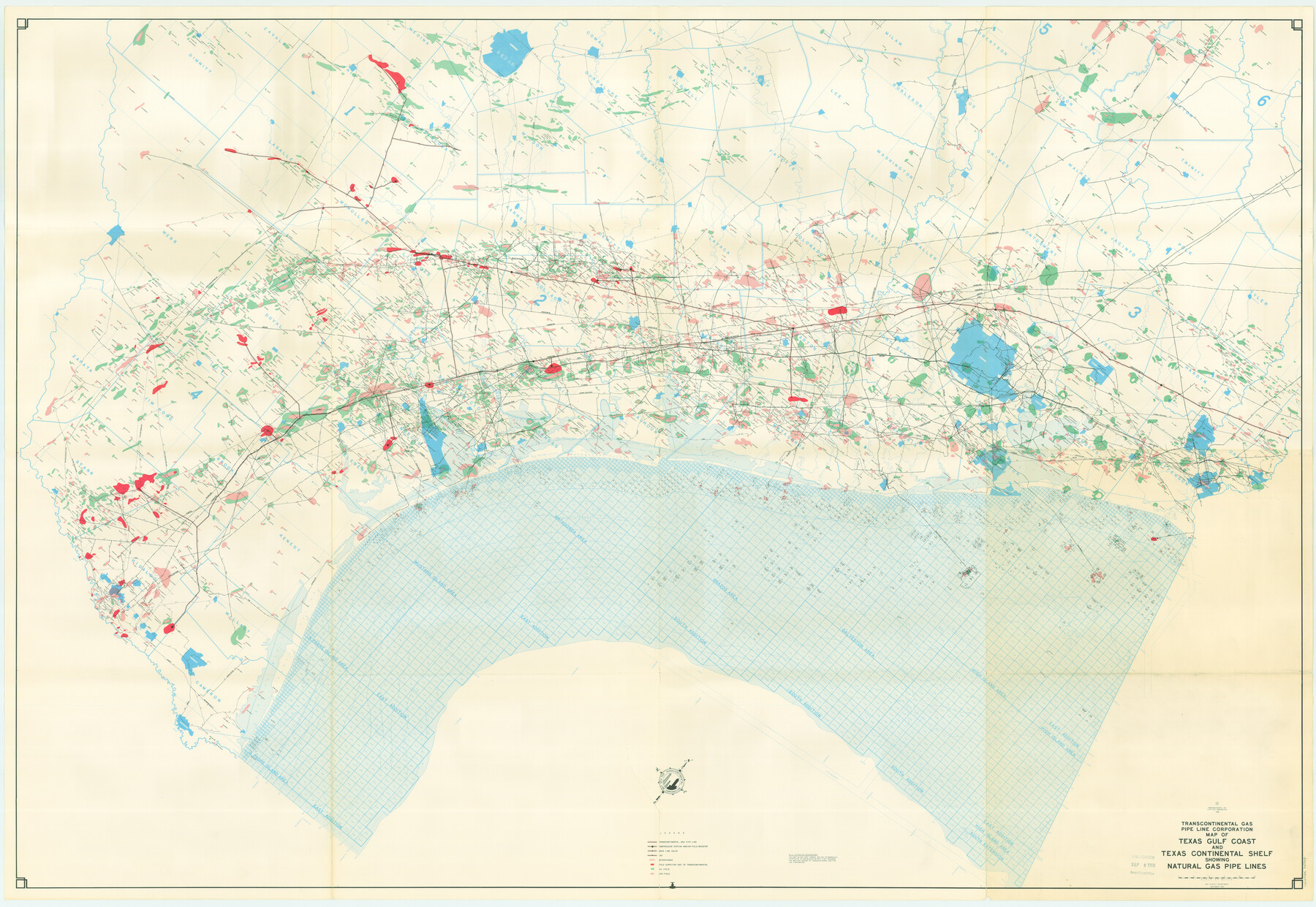
Map of Texas Gulf Coast and Texas Continental Shelf showing Natural Gas Pipe Lines
-
Map/Doc
75903
-
Collection
General Map Collection
-
Object Dates
1968 (Creation Date)
-
Subjects
Energy Offshore Submerged Area
-
Height x Width
39.4 x 57.1 inches
100.1 x 145.0 cm
Part of: General Map Collection
Mills County Working Sketch 8

Print $20.00
- Digital $50.00
Mills County Working Sketch 8
1919
Size 27.6 x 23.3 inches
Map/Doc 71038
Harris County Working Sketch 83

Print $20.00
- Digital $50.00
Harris County Working Sketch 83
1970
Size 26.0 x 30.1 inches
Map/Doc 65975
[Fractional Township No. 7 South Range No. 17 East of the Indian Meridian, Indian Territory]
![75231, [Fractional Township No. 7 South Range No. 17 East of the Indian Meridian, Indian Territory], General Map Collection](https://historictexasmaps.com/wmedia_w700/maps/75231.tif.jpg)
Print $20.00
- Digital $50.00
[Fractional Township No. 7 South Range No. 17 East of the Indian Meridian, Indian Territory]
Size 19.2 x 24.3 inches
Map/Doc 75231
Chart of the Harbour of San [Luis]
![72763, Chart of the Harbour of San [Luis], General Map Collection](https://historictexasmaps.com/wmedia_w700/maps/72763.tif.jpg)
Print $20.00
- Digital $50.00
Chart of the Harbour of San [Luis]
1846
Size 27.7 x 18.3 inches
Map/Doc 72763
Hutchinson County Working Sketch 30

Print $20.00
- Digital $50.00
Hutchinson County Working Sketch 30
1978
Size 27.6 x 23.3 inches
Map/Doc 66390
Cottle County Sketch File 7

Print $20.00
- Digital $50.00
Cottle County Sketch File 7
1893
Size 22.1 x 20.7 inches
Map/Doc 11191
[Sketch for Mineral Application 26501 - Sabine River, T. A. Oldhausen]
![2834, [Sketch for Mineral Application 26501 - Sabine River, T. A. Oldhausen], General Map Collection](https://historictexasmaps.com/wmedia_w700/maps/2834.tif.jpg)
Print $20.00
- Digital $50.00
[Sketch for Mineral Application 26501 - Sabine River, T. A. Oldhausen]
1931
Size 23.9 x 36.0 inches
Map/Doc 2834
Travis County Appraisal District Plat Map 2_2512

Print $20.00
- Digital $50.00
Travis County Appraisal District Plat Map 2_2512
1938
Size 21.5 x 26.5 inches
Map/Doc 94216
Yoakum County Sketch File 10

Print $20.00
- Digital $50.00
Yoakum County Sketch File 10
1902
Size 33.7 x 18.8 inches
Map/Doc 12706
Red River County Working Sketch 83

Print $20.00
- Digital $50.00
Red River County Working Sketch 83
1996
Size 21.0 x 22.3 inches
Map/Doc 72069
Harris County Historic Topographic 34

Print $20.00
- Digital $50.00
Harris County Historic Topographic 34
1915
Size 19.7 x 23.7 inches
Map/Doc 65845
Potter County Boundary File 2

Print $30.00
- Digital $50.00
Potter County Boundary File 2
Size 9.0 x 6.0 inches
Map/Doc 57952
You may also like
The Republic County of Goliad. December 29, 1845

Print $20.00
The Republic County of Goliad. December 29, 1845
2020
Size 17.5 x 21.7 inches
Map/Doc 96152
Angelina County Working Sketch 25

Print $20.00
- Digital $50.00
Angelina County Working Sketch 25
1954
Size 25.0 x 17.5 inches
Map/Doc 67107
Hudspeth County Working Sketch 18

Print $40.00
- Digital $50.00
Hudspeth County Working Sketch 18
1957
Size 22.2 x 113.1 inches
Map/Doc 66300
Matagorda County Rolled Sketch 38

Print $295.00
- Digital $50.00
Matagorda County Rolled Sketch 38
1984
Size 23.2 x 23.2 inches
Map/Doc 6697
General Highway Map. Detail of Cities and Towns in Harris County, Texas

Print $20.00
General Highway Map. Detail of Cities and Towns in Harris County, Texas
1939
Size 18.2 x 24.9 inches
Map/Doc 79119
Map of Smith County

Print $20.00
- Digital $50.00
Map of Smith County
1855
Size 21.9 x 21.3 inches
Map/Doc 4038
![90607, [Block K8], Twichell Survey Records](https://historictexasmaps.com/wmedia_w700/maps/90607-1.tif.jpg)
Gaines County Sketch File 15

Print $5.00
- Digital $50.00
Gaines County Sketch File 15
1956
Size 11.6 x 8.8 inches
Map/Doc 23202
Randall County Working Sketch 3

Print $40.00
- Digital $50.00
Randall County Working Sketch 3
1934
Size 48.8 x 42.5 inches
Map/Doc 71840
Coast Chart No. 106, Galveston Bay to Oyster Bay, Texas

Print $20.00
Coast Chart No. 106, Galveston Bay to Oyster Bay, Texas
1858
Size 32.4 x 40.7 inches
Map/Doc 76252
Sketch of Surveys on Peach Point, J. Perry's Property

Print $20.00
- Digital $50.00
Sketch of Surveys on Peach Point, J. Perry's Property
1832
Size 14.0 x 20.6 inches
Map/Doc 219
Chambers County Working Sketch 2

Print $20.00
- Digital $50.00
Chambers County Working Sketch 2
1904
Size 34.6 x 25.3 inches
Map/Doc 67985