Chart of the Harbour of San [Luis]
RL-2-7a
-
Map/Doc
72763
-
Collection
General Map Collection
-
Object Dates
1846 (Creation Date)
-
People and Organizations
C. Thielemann (Draftsman)
A.C. Hinton (Surveyor/Engineer)
-
Counties
Brazoria
-
Subjects
Nautical Charts
-
Height x Width
27.7 x 18.3 inches
70.4 x 46.5 cm
-
Comments
B/W photostat copy from National Archives in multiple pieces.
Part of: General Map Collection
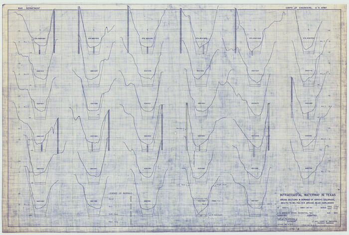
Intracoastal Waterway in Texas - Corpus Christi to Point Isabel including Arroyo Colorado to Mo. Pac. R.R. Bridge Near Harlingen

Print $20.00
- Digital $50.00
Intracoastal Waterway in Texas - Corpus Christi to Point Isabel including Arroyo Colorado to Mo. Pac. R.R. Bridge Near Harlingen
1934
Size 22.0 x 32.6 inches
Map/Doc 61886
Castro County Rolled Sketch 13A


Print $20.00
- Digital $50.00
Castro County Rolled Sketch 13A
1967
Size 20.0 x 18.9 inches
Map/Doc 5423
Map of Uvalde Co.


Print $20.00
- Digital $50.00
Map of Uvalde Co.
1893
Size 42.7 x 42.5 inches
Map/Doc 16911
Madison County Working Sketch 11


Print $20.00
- Digital $50.00
Madison County Working Sketch 11
1964
Size 39.6 x 33.4 inches
Map/Doc 70773
Smith County Sketch File 19

Print $42.00
- Digital $50.00
Smith County Sketch File 19
1850
Size 8.1 x 13.0 inches
Map/Doc 36794
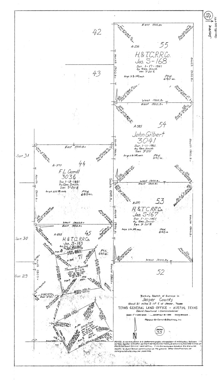
Jasper County Working Sketch 33

Print $20.00
- Digital $50.00
Jasper County Working Sketch 33
1999
Size 30.4 x 17.5 inches
Map/Doc 66495
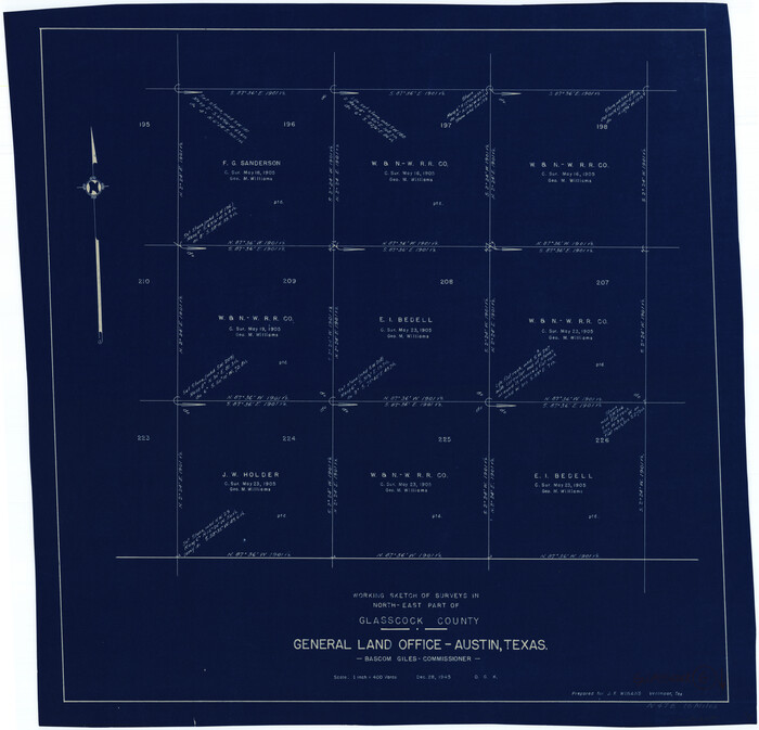
Glasscock County Working Sketch 6

Print $20.00
- Digital $50.00
Glasscock County Working Sketch 6
1945
Size 22.0 x 22.9 inches
Map/Doc 63179
Map of Robertson County
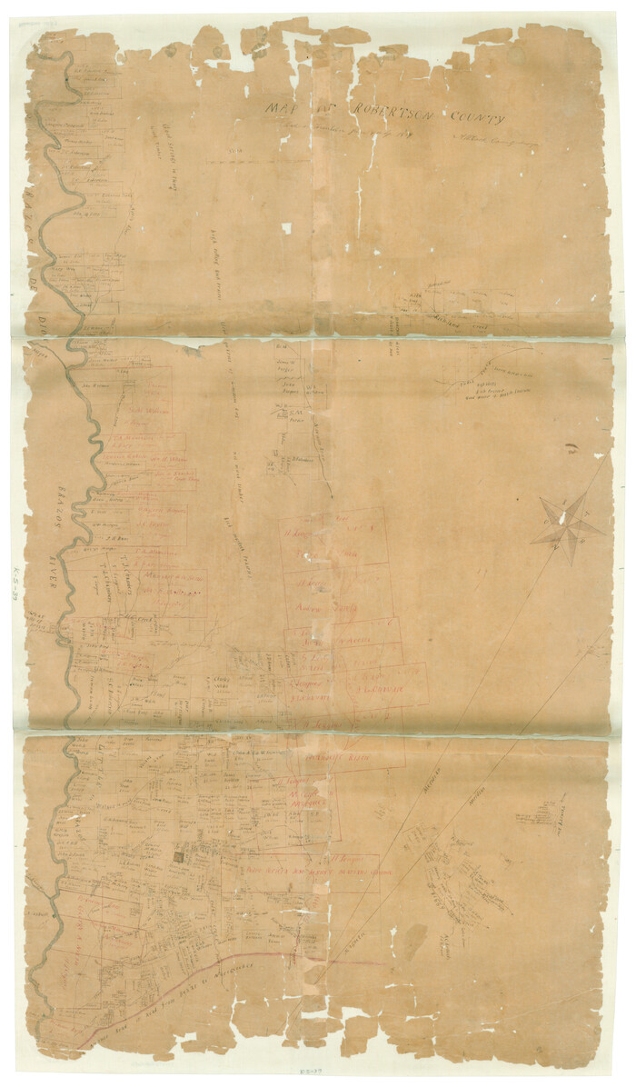

Print $40.00
- Digital $50.00
Map of Robertson County
1839
Size 56.2 x 33.0 inches
Map/Doc 4656
Loving County Working Sketch 9


Print $20.00
- Digital $50.00
Loving County Working Sketch 9
1952
Size 24.8 x 45.8 inches
Map/Doc 70641
Gillespie County Sketch File 3b

Print $4.00
- Digital $50.00
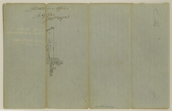
Gillespie County Sketch File 3b
1860
Size 8.2 x 12.6 inches
Map/Doc 24133
Atascosa County Rolled Sketch 7


Print $20.00
- Digital $50.00
Atascosa County Rolled Sketch 7
1913
Size 26.1 x 26.7 inches
Map/Doc 5092
You may also like
Montgomery County Rolled Sketch 42

Print $20.00
- Digital $50.00
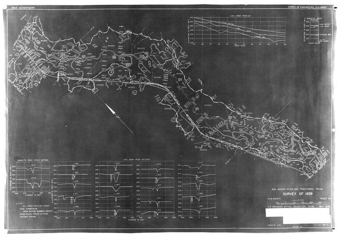
Montgomery County Rolled Sketch 42
1939
Size 14.0 x 20.1 inches
Map/Doc 6821
Chambers County Rolled Sketch FD

Print $20.00
- Digital $50.00
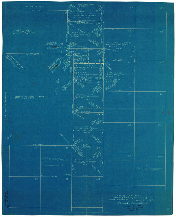
Chambers County Rolled Sketch FD
1935
Size 32.7 x 26.5 inches
Map/Doc 5433
Sutton County Sketch File 27a
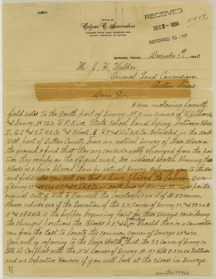

Print $6.00
- Digital $50.00
Sutton County Sketch File 27a
Size 11.3 x 8.8 inches
Map/Doc 37466
Flight Mission No. CUG-3P, Frame 35, Kleberg County


Print $20.00
- Digital $50.00
Flight Mission No. CUG-3P, Frame 35, Kleberg County
1956
Size 18.6 x 22.3 inches
Map/Doc 86240
Flight Mission No. CUG-3P, Frame 17, Kleberg County


Print $20.00
- Digital $50.00
Flight Mission No. CUG-3P, Frame 17, Kleberg County
1956
Size 18.6 x 22.3 inches
Map/Doc 86227
Plat of survey in the North West portion of the Ramsey State Farm
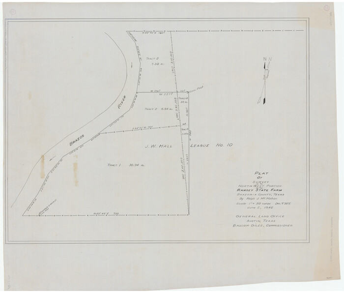

Print $20.00
- Digital $50.00
Plat of survey in the North West portion of the Ramsey State Farm
1942
Size 25.9 x 30.4 inches
Map/Doc 94282
Stonewall County Working Sketch Graphic Index - sheet B
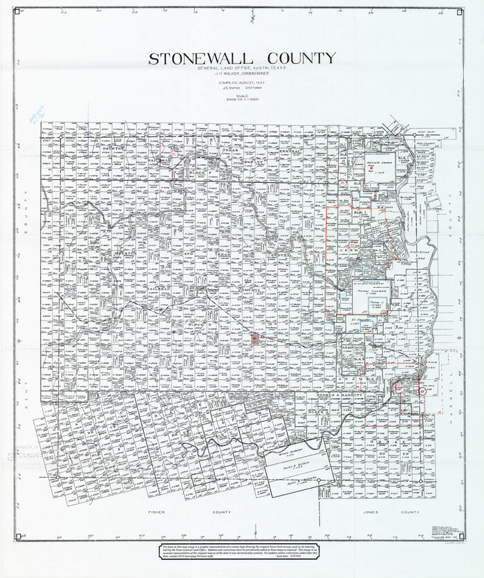

Print $20.00
- Digital $50.00
Stonewall County Working Sketch Graphic Index - sheet B
1933
Size 43.7 x 36.6 inches
Map/Doc 83172
[Map of Lt. Brulls scout in Haskell, Throckmorton, Jones and Shackelford Counties]
![65399, [Map of Lt. Brulls scout in Haskell, Throckmorton, Jones and Shackelford Counties], General Map Collection](https://historictexasmaps.com/wmedia_w700/maps/65399-1.tif.jpg)
![65399, [Map of Lt. Brulls scout in Haskell, Throckmorton, Jones and Shackelford Counties], General Map Collection](https://historictexasmaps.com/wmedia_w700/maps/65399-1.tif.jpg)
Print $3.00
- Digital $50.00
[Map of Lt. Brulls scout in Haskell, Throckmorton, Jones and Shackelford Counties]
1873
Size 10.1 x 11.9 inches
Map/Doc 65399
[Map to illustrate possible mineral resources on the lands belonging to the University of Texas]
![62963, [Map to illustrate possible mineral resources on the lands belonging to the University of Texas], General Map Collection](https://historictexasmaps.com/wmedia_w700/maps/62963.tif.jpg)
![62963, [Map to illustrate possible mineral resources on the lands belonging to the University of Texas], General Map Collection](https://historictexasmaps.com/wmedia_w700/maps/62963.tif.jpg)
Print $2.00
- Digital $50.00
[Map to illustrate possible mineral resources on the lands belonging to the University of Texas]
Size 10.2 x 7.7 inches
Map/Doc 62963
Webb County Working Sketch 56
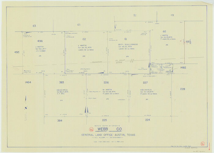

Print $20.00
- Digital $50.00
Webb County Working Sketch 56
1958
Size 22.9 x 32.0 inches
Map/Doc 72422
Comanche County Working Sketch 27
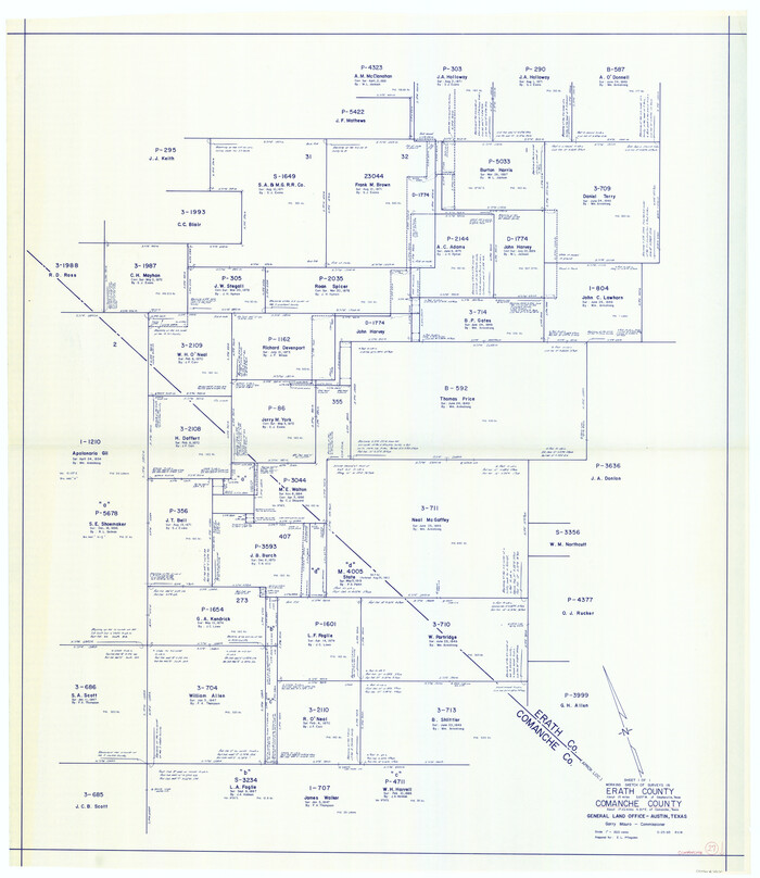

Print $40.00
- Digital $50.00
Comanche County Working Sketch 27
1983
Size 50.2 x 43.5 inches
Map/Doc 68161
MKT (Missouri Kansas Texas) Katy Railroad Time Tables
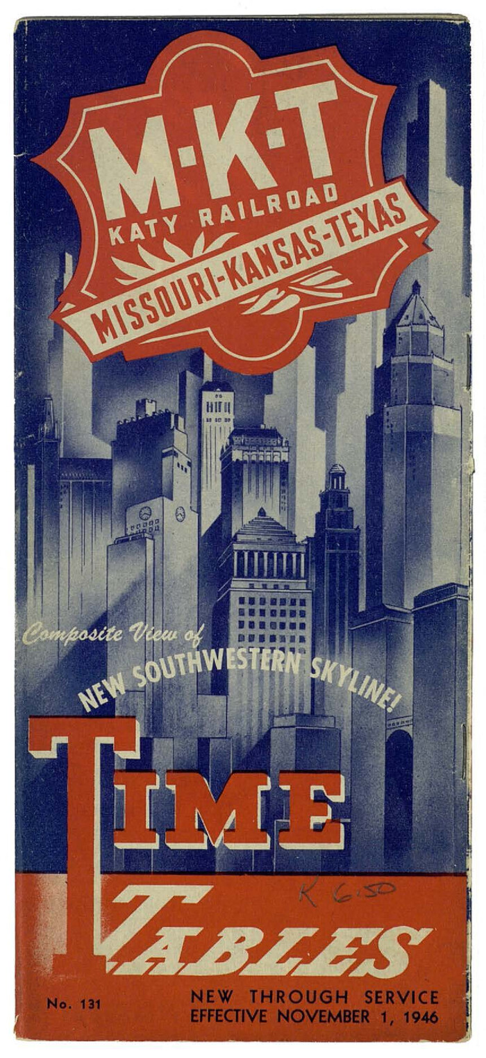

Print $54.00
- Digital $50.00
MKT (Missouri Kansas Texas) Katy Railroad Time Tables
1946
Size 9.3 x 16.4 inches
Map/Doc 93981
![72763, Chart of the Harbour of San [Luis], General Map Collection](https://historictexasmaps.com/wmedia_w1800h1800/maps/72763.tif.jpg)
