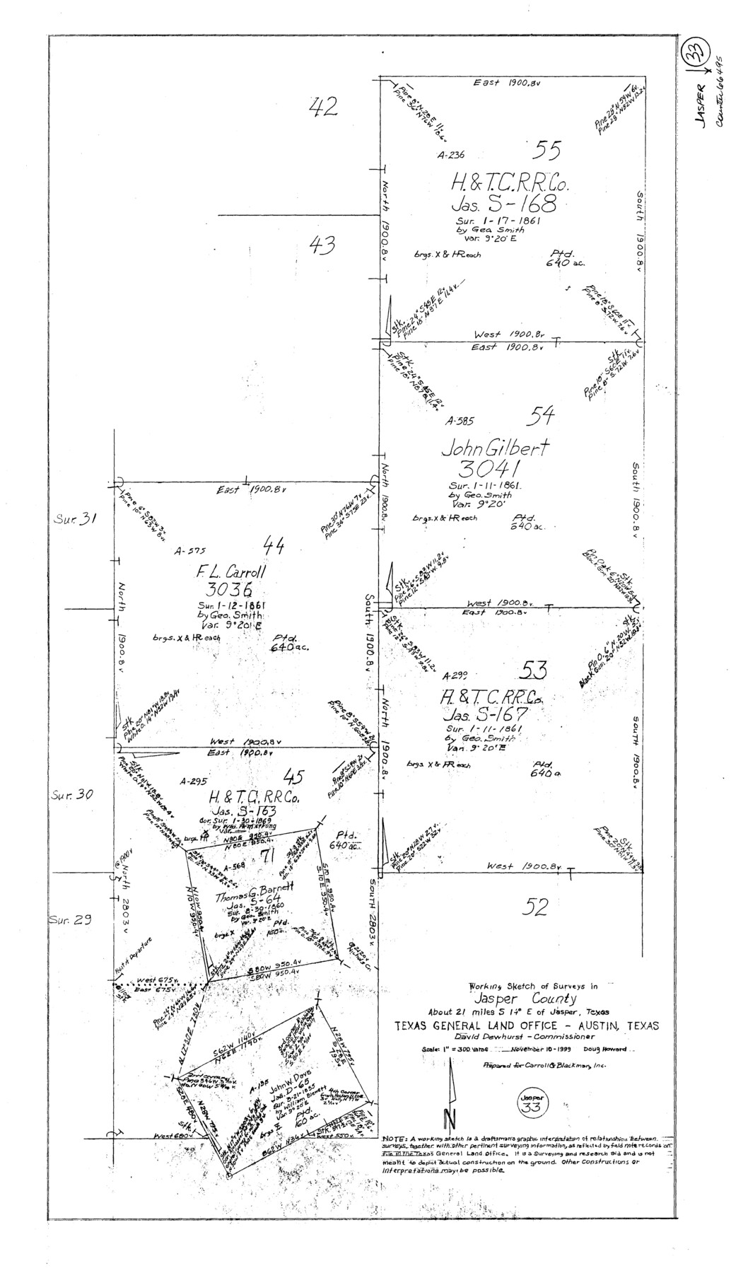
Jasper County Working Sketch 33
-
Map/Doc
66495
-
Collection
General Map Collection
-
Object Dates
11/10/1999 (Creation Date)
-
People and Organizations
Douglas Howard (Draftsman)
-
Counties
Jasper
-
Subjects
Surveying Working Sketch
-
Height x Width
30.4 x 17.5 inches
77.2 x 44.5 cm
-
Scale
1" = 300 varas
Part of: General Map Collection
Nueces County Rolled Sketch 59

Print $20.00
- Digital $50.00
Nueces County Rolled Sketch 59
1979
Size 38.8 x 27.7 inches
Map/Doc 6906
Austin County Sketch File 6b

Print $50.00
- Digital $50.00
Austin County Sketch File 6b
1894
Size 11.3 x 8.6 inches
Map/Doc 13872
Hopkins County Working Sketch 3

Print $20.00
- Digital $50.00
Hopkins County Working Sketch 3
1955
Size 24.2 x 20.0 inches
Map/Doc 66228
Map of Blanco County

Print $20.00
- Digital $50.00
Map of Blanco County
1871
Size 22.1 x 17.2 inches
Map/Doc 3304
Frio County Working Sketch 22

Print $20.00
- Digital $50.00
Frio County Working Sketch 22
1990
Size 24.9 x 33.9 inches
Map/Doc 69296
Childress County Rolled Sketch 9A

Print $20.00
- Digital $50.00
Childress County Rolled Sketch 9A
Size 17.0 x 17.1 inches
Map/Doc 5447
Brazoria County Working Sketch 22

Print $20.00
- Digital $50.00
Brazoria County Working Sketch 22
1959
Size 27.0 x 25.3 inches
Map/Doc 67507
Fort Bend County Working Sketch 21

Print $20.00
- Digital $50.00
Fort Bend County Working Sketch 21
Size 26.9 x 28.6 inches
Map/Doc 69227
Dickens County Working Sketch 7

Print $20.00
- Digital $50.00
Dickens County Working Sketch 7
1947
Size 26.1 x 31.1 inches
Map/Doc 68655
Hudspeth County Sketch File 42

Print $12.00
- Digital $50.00
Hudspeth County Sketch File 42
1982
Size 14.2 x 8.7 inches
Map/Doc 27016
Panola County

Print $20.00
- Digital $50.00
Panola County
1947
Size 40.7 x 40.3 inches
Map/Doc 73257
Zavala County Boundary File 3

Print $44.00
- Digital $50.00
Zavala County Boundary File 3
Size 9.4 x 7.3 inches
Map/Doc 60258
You may also like
Presidio County Working Sketch 108

Print $20.00
- Digital $50.00
Presidio County Working Sketch 108
1980
Size 39.9 x 21.7 inches
Map/Doc 71785
Matagorda County Sketch File 1

Print $4.00
- Digital $50.00
Matagorda County Sketch File 1
1876
Size 13.0 x 8.8 inches
Map/Doc 30728
Galveston County Sketch File 59

Print $8.00
- Digital $50.00
Galveston County Sketch File 59
1977
Size 14.2 x 8.7 inches
Map/Doc 23607
Milam County Texas

Print $20.00
- Digital $50.00
Milam County Texas
1879
Size 26.7 x 23.1 inches
Map/Doc 3879
Louisiana and Texas Intracoastal Waterway, Section 7, Galveston Bay to Brazos River and Section 8, Brazos River to Matagorda Bay

Print $20.00
- Digital $50.00
Louisiana and Texas Intracoastal Waterway, Section 7, Galveston Bay to Brazos River and Section 8, Brazos River to Matagorda Bay
1929
Size 30.8 x 43.0 inches
Map/Doc 61841
Bell County Rolled Sketch 1

Print $20.00
- Digital $50.00
Bell County Rolled Sketch 1
1954
Size 38.1 x 41.1 inches
Map/Doc 75938
Map of Harris County

Print $40.00
- Digital $50.00
Map of Harris County
1897
Size 48.4 x 66.9 inches
Map/Doc 82068
Crane County Sketch File 27

Print $6.00
- Digital $50.00
Crane County Sketch File 27
Size 11.5 x 9.3 inches
Map/Doc 19603
Edwards County Boundary File 27 1/2a

Print $56.00
- Digital $50.00
Edwards County Boundary File 27 1/2a
Size 14.1 x 8.8 inches
Map/Doc 52922
Flight Mission No. DCL-7C, Frame 54, Kenedy County

Print $20.00
- Digital $50.00
Flight Mission No. DCL-7C, Frame 54, Kenedy County
1943
Size 15.3 x 15.3 inches
Map/Doc 86042
Flight Mission No. DQN-5K, Frame 44, Calhoun County

Print $20.00
- Digital $50.00
Flight Mission No. DQN-5K, Frame 44, Calhoun County
1953
Size 18.4 x 22.0 inches
Map/Doc 84389
Aransas County Working Sketch 3

Print $20.00
- Digital $50.00
Aransas County Working Sketch 3
1928
Size 20.6 x 32.9 inches
Map/Doc 67170