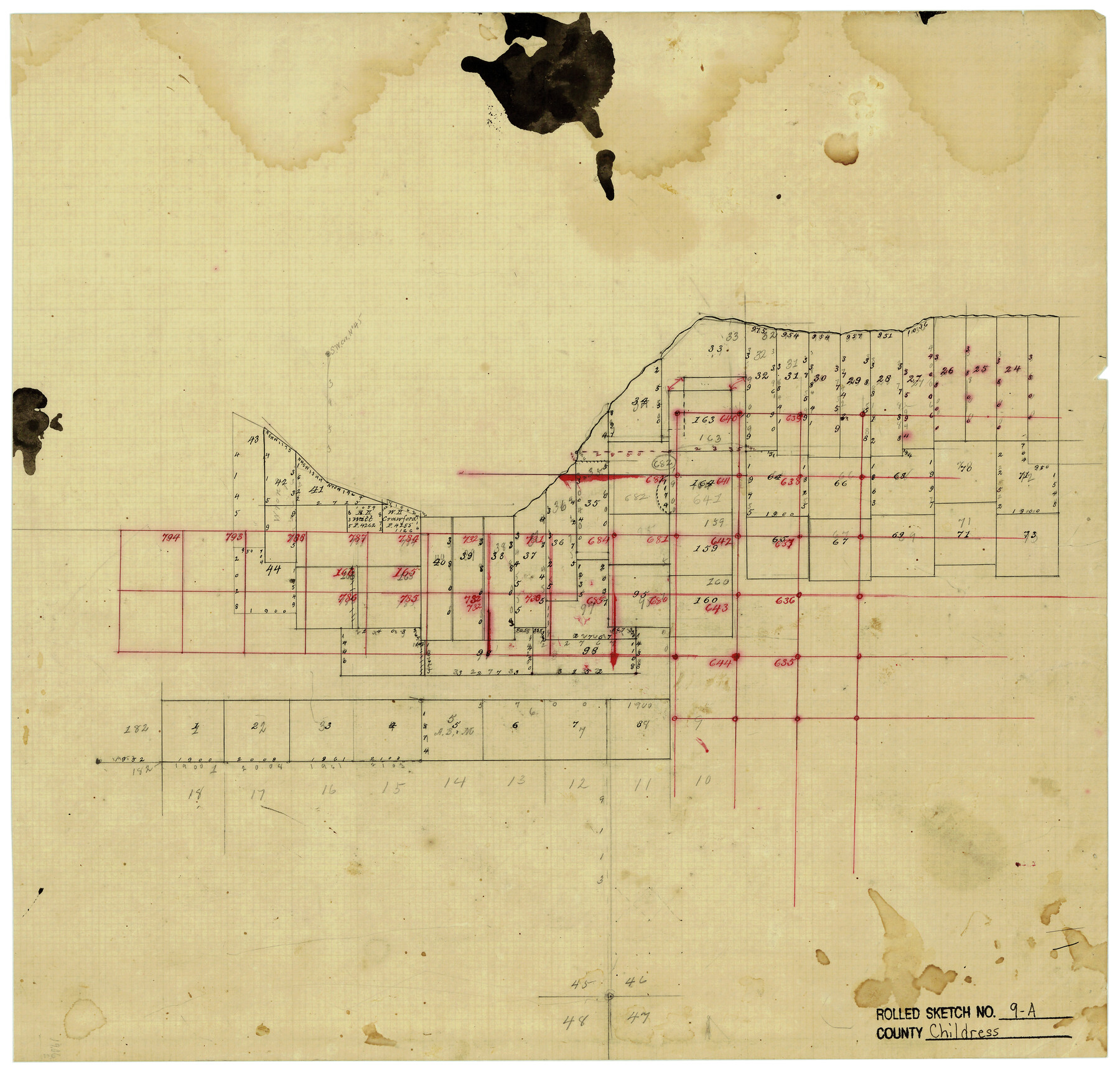
Childress County Rolled Sketch 9A
[Sketch in north part of Block H]
-
Map/Doc
5447
-
Collection
General Map Collection
-
Counties
Childress
-
Subjects
Surveying Rolled Sketch
-
Height x Width
17.0 x 17.1 inches
43.2 x 43.4 cm
-
Medium
paper, manuscript
Part of: General Map Collection
Map of north end of Brazos Island

Print $20.00
- Digital $50.00
Map of north end of Brazos Island
1845
Size 24.2 x 18.3 inches
Map/Doc 72920
Montgomery County Working Sketch 70

Print $20.00
- Digital $50.00
Montgomery County Working Sketch 70
1973
Size 41.3 x 31.7 inches
Map/Doc 71177
Taylor County Rolled Sketch 22

Print $20.00
- Digital $50.00
Taylor County Rolled Sketch 22
1950
Size 23.3 x 26.7 inches
Map/Doc 7915
Real County Working Sketch 44

Print $20.00
- Digital $50.00
Real County Working Sketch 44
1953
Size 28.3 x 24.3 inches
Map/Doc 71936
Controlled Mosaic by Jack Amman Photogrammetric Engineers, Inc - Sheet 32

Print $20.00
- Digital $50.00
Controlled Mosaic by Jack Amman Photogrammetric Engineers, Inc - Sheet 32
1954
Size 20.0 x 24.0 inches
Map/Doc 83485
Wichita County Working Sketch 1

Print $20.00
- Digital $50.00
Wichita County Working Sketch 1
Size 23.5 x 24.2 inches
Map/Doc 72510
Flight Mission No. DQO-2K, Frame 143, Galveston County

Print $20.00
- Digital $50.00
Flight Mission No. DQO-2K, Frame 143, Galveston County
1952
Size 18.8 x 22.5 inches
Map/Doc 85040
Pecos County Working Sketch 139

Print $20.00
- Digital $50.00
Pecos County Working Sketch 139
1982
Size 31.1 x 24.9 inches
Map/Doc 71613
Hardin County Sketch File 32a

Print $11.00
- Digital $50.00
Hardin County Sketch File 32a
Size 8.4 x 9.8 inches
Map/Doc 25167
Maps of Gulf Intracoastal Waterway, Texas - Sabine River to the Rio Grande and connecting waterways including ship channels

Print $20.00
- Digital $50.00
Maps of Gulf Intracoastal Waterway, Texas - Sabine River to the Rio Grande and connecting waterways including ship channels
1966
Size 14.6 x 22.2 inches
Map/Doc 61970
Topographic Map, Reynard Sheet, Trinity River; Houston and Leon Counties

Print $20.00
- Digital $50.00
Topographic Map, Reynard Sheet, Trinity River; Houston and Leon Counties
1925
Size 45.6 x 41.4 inches
Map/Doc 2469
Johnson County Boundary File 1

Print $66.00
- Digital $50.00
Johnson County Boundary File 1
Size 14.1 x 8.5 inches
Map/Doc 55551
You may also like
Mason County Working Sketch 1

Print $3.00
- Digital $50.00
Mason County Working Sketch 1
Size 10.7 x 16.2 inches
Map/Doc 70837
St. Louis Southwestern Railway of Texas

Print $20.00
- Digital $50.00
St. Louis Southwestern Railway of Texas
1906
Size 21.7 x 30.0 inches
Map/Doc 64452
Atascosa County Sketch File 37

Print $40.00
- Digital $50.00
Atascosa County Sketch File 37
Size 17.6 x 12.9 inches
Map/Doc 13829
Bailey County Rolled Sketch 2

Print $20.00
- Digital $50.00
Bailey County Rolled Sketch 2
1913
Size 26.8 x 21.4 inches
Map/Doc 5109
Atascosa County Rolled Sketch 5B1

Print $20.00
- Digital $50.00
Atascosa County Rolled Sketch 5B1
Size 14.6 x 11.7 inches
Map/Doc 5090
Ownership Map SW 1/4 Lubbock County

Print $20.00
- Digital $50.00
Ownership Map SW 1/4 Lubbock County
Size 33.7 x 36.8 inches
Map/Doc 89697
Flight Mission No. BQR-20K, Frame 6, Brazoria County

Print $20.00
- Digital $50.00
Flight Mission No. BQR-20K, Frame 6, Brazoria County
1952
Size 18.6 x 22.3 inches
Map/Doc 84108
Map of the United States and Texas Boundary Line and Adjacent Territory

Print $20.00
- Digital $50.00
Map of the United States and Texas Boundary Line and Adjacent Territory
1860
Size 26.9 x 41.4 inches
Map/Doc 2129
Cuadro Geografico y Estadistico

Print $20.00
- Digital $50.00
Cuadro Geografico y Estadistico
Size 23.1 x 30.9 inches
Map/Doc 96982
Brazoria County Sketch File 13

Print $40.00
- Digital $50.00
Brazoria County Sketch File 13
Size 23.8 x 23.0 inches
Map/Doc 10950
Qvivirae Regnv, cum alijs verfus Borea

Print $20.00
- Digital $50.00
Qvivirae Regnv, cum alijs verfus Borea
1593
Size 16.7 x 11.7 inches
Map/Doc 93833
Coleman County Working Sketch 10

Print $20.00
- Digital $50.00
Coleman County Working Sketch 10
1950
Size 30.1 x 29.1 inches
Map/Doc 68076