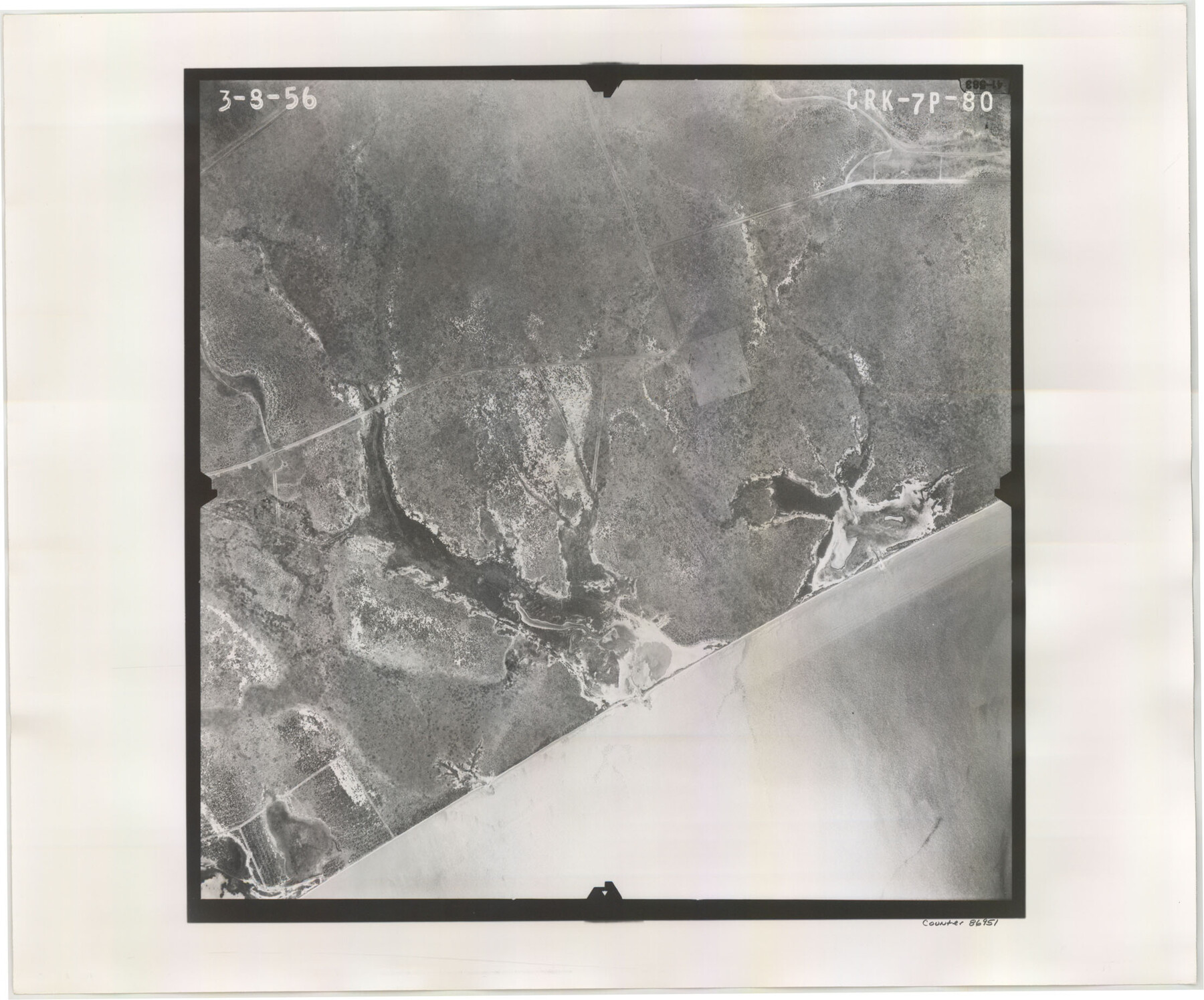
Flight Mission No. CRK-7P, Frame 80, Refugio County
CRK-7P-80
-
Map/Doc
86951
-
Collection
General Map Collection
-
Object Dates
1956/3/8 (Creation Date)
-
People and Organizations
U. S. Department of Agriculture (Publisher)
-
Counties
Refugio
-
Subjects
Aerial Photograph
-
Height x Width
18.4 x 22.2 inches
46.7 x 56.4 cm
-
Comments
Flown by V. L. Beavers and Associates of San Antonio, Texas.
Part of: General Map Collection
Hale County Working Sketch 6

Print $40.00
- Digital $50.00
Hale County Working Sketch 6
1963
Size 68.9 x 38.8 inches
Map/Doc 63326
Val Verde County Rolled Sketch 84

Print $20.00
- Digital $50.00
Val Verde County Rolled Sketch 84
2006
Size 31.2 x 35.4 inches
Map/Doc 84802
Flight Mission No. DAG-21K, Frame 105, Matagorda County

Print $20.00
- Digital $50.00
Flight Mission No. DAG-21K, Frame 105, Matagorda County
1952
Size 16.5 x 16.5 inches
Map/Doc 86433
Leon County Sketch File 35-1

Print $28.00
- Digital $50.00
Leon County Sketch File 35-1
1966
Size 14.1 x 8.6 inches
Map/Doc 29836
Frio County Rolled Sketch 11

Print $20.00
- Digital $50.00
Frio County Rolled Sketch 11
1948
Size 44.4 x 43.8 inches
Map/Doc 8903
Cass County Working Sketch Graphic Index

Print $20.00
- Digital $50.00
Cass County Working Sketch Graphic Index
1947
Size 39.1 x 41.9 inches
Map/Doc 76489
Shelby County Sketch File 11

Print $50.00
- Digital $50.00
Shelby County Sketch File 11
1859
Size 8.8 x 7.0 inches
Map/Doc 36613
Fannin County Sketch File 20a

Print $7.00
- Digital $50.00
Fannin County Sketch File 20a
1889
Size 10.4 x 8.4 inches
Map/Doc 22482
Hardin County Sketch File 11

Print $8.00
- Digital $50.00
Hardin County Sketch File 11
Size 5.2 x 8.2 inches
Map/Doc 25112
Nueces County Rolled Sketch 27

Print $40.00
- Digital $50.00
Nueces County Rolled Sketch 27
1946
Size 180.8 x 12.6 inches
Map/Doc 9596
[Surveys along the Colorado River]
![119, [Surveys along the Colorado River], General Map Collection](https://historictexasmaps.com/wmedia_w700/maps/119.tif.jpg)
Print $20.00
- Digital $50.00
[Surveys along the Colorado River]
1840
Size 23.8 x 17.9 inches
Map/Doc 119
Parker County Working Sketch 21

Print $20.00
- Digital $50.00
Parker County Working Sketch 21
2006
Map/Doc 83655
You may also like
Flight Mission No. DIX-7P, Frame 89, Aransas County

Print $20.00
- Digital $50.00
Flight Mission No. DIX-7P, Frame 89, Aransas County
1956
Size 18.7 x 22.4 inches
Map/Doc 83883
Live Oak County Boundary File 60d

Print $4.00
- Digital $50.00
Live Oak County Boundary File 60d
Size 14.2 x 8.8 inches
Map/Doc 56423
Flight Mission No. CLL-3N, Frame 6, Willacy County

Print $20.00
- Digital $50.00
Flight Mission No. CLL-3N, Frame 6, Willacy County
1954
Size 18.5 x 22.2 inches
Map/Doc 87072
Map of the Missouri, Kansas, & Texas Railway and Connecting Lines

Print $20.00
- Digital $50.00
Map of the Missouri, Kansas, & Texas Railway and Connecting Lines
Size 11.2 x 17.2 inches
Map/Doc 96599
Hopkins County Sketch File 13

Print $4.00
- Digital $50.00
Hopkins County Sketch File 13
1858
Size 12.7 x 8.2 inches
Map/Doc 26709
Map of Texas with parts of the Adjoining States

Print $20.00
- Digital $50.00
Map of Texas with parts of the Adjoining States
1830
Size 29.6 x 24.1 inches
Map/Doc 94440
Starr County Sketch File 17

Print $24.00
- Digital $50.00
Starr County Sketch File 17
1880
Size 12.8 x 8.2 inches
Map/Doc 36874
Kinney County Working Sketch 59

Print $20.00
- Digital $50.00
Kinney County Working Sketch 59
1999
Size 19.9 x 24.8 inches
Map/Doc 70241
[North part H. & T. C. Blk. 5 and PSL Blk. 64]
![90499, [North part H. & T. C. Blk. 5 and PSL Blk. 64], Twichell Survey Records](https://historictexasmaps.com/wmedia_w700/maps/90499-1.tif.jpg)
Print $20.00
- Digital $50.00
[North part H. & T. C. Blk. 5 and PSL Blk. 64]
Size 13.2 x 12.0 inches
Map/Doc 90499
Flight Mission No. CGI-4N, Frame 192, Cameron County

Print $20.00
- Digital $50.00
Flight Mission No. CGI-4N, Frame 192, Cameron County
1955
Size 18.6 x 22.2 inches
Map/Doc 84695
Galveston County Rolled Sketch US

Print $20.00
- Digital $50.00
Galveston County Rolled Sketch US
1929
Size 27.6 x 44.6 inches
Map/Doc 9087
Nueces County Sketch File 62

Print $4.00
- Digital $50.00
Nueces County Sketch File 62
1936
Size 8.6 x 14.3 inches
Map/Doc 32971