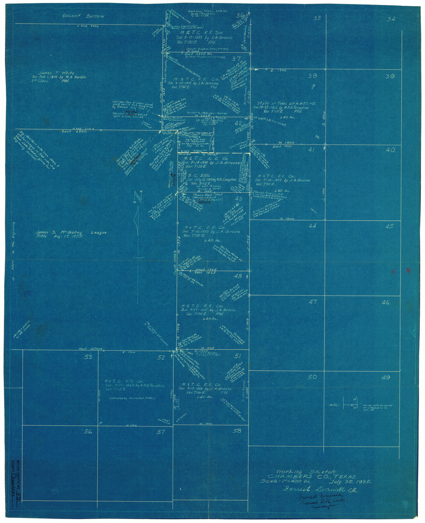
Chambers County Rolled Sketch FD
Working Sketch, Chambers Co., Texas
-
Map/Doc
5433
-
Collection
General Map Collection
-
Object Dates
1935/7/30 (Creation Date)
1935/8/12 (File Date)
-
People and Organizations
Forrest Daniell (Surveyor/Engineer)
-
Counties
Chambers
-
Subjects
Surveying Rolled Sketch
-
Height x Width
32.7 x 26.5 inches
83.1 x 67.3 cm
-
Medium
blueprint/diazo
-
Scale
1" = 400 varas
Part of: General Map Collection
Andrews County Sketch File 2

Print $40.00
- Digital $50.00
Andrews County Sketch File 2
1902
Size 20.7 x 29.5 inches
Map/Doc 10807
Culberson County Working Sketch 50

Print $20.00
- Digital $50.00
Culberson County Working Sketch 50
1972
Size 32.0 x 35.1 inches
Map/Doc 68504
Presidio County Working Sketch 7

Print $20.00
- Digital $50.00
Presidio County Working Sketch 7
1926
Size 35.0 x 40.0 inches
Map/Doc 71681
Throckmorton County Boundary File 5

Print $8.00
- Digital $50.00
Throckmorton County Boundary File 5
Size 14.3 x 8.9 inches
Map/Doc 59286
Gonzales County Working Sketch 4b

Print $20.00
- Digital $50.00
Gonzales County Working Sketch 4b
1979
Size 21.2 x 27.3 inches
Map/Doc 63220
Hardeman County Rolled Sketch 19

Print $52.00
- Digital $50.00
Hardeman County Rolled Sketch 19
1927
Size 30.9 x 31.5 inches
Map/Doc 9109
Comal County Rolled Sketch 1

Print $20.00
- Digital $50.00
Comal County Rolled Sketch 1
1972
Size 24.2 x 19.6 inches
Map/Doc 5535
[Surveys in the Bexar District in the vicinity of Salado and Saltillo Creeks]
![234, [Surveys in the Bexar District in the vicinity of Salado and Saltillo Creeks], General Map Collection](https://historictexasmaps.com/wmedia_w700/maps/234.tif.jpg)
Print $2.00
- Digital $50.00
[Surveys in the Bexar District in the vicinity of Salado and Saltillo Creeks]
1847
Size 10.3 x 9.1 inches
Map/Doc 234
Red River County Working Sketch 57

Print $20.00
- Digital $50.00
Red River County Working Sketch 57
1972
Size 31.5 x 28.7 inches
Map/Doc 72040
Crockett County Working Sketch 32

Print $20.00
- Digital $50.00
Crockett County Working Sketch 32
1925
Size 20.3 x 41.3 inches
Map/Doc 68365
Flight Mission No. DIX-5P, Frame 151, Aransas County

Print $20.00
- Digital $50.00
Flight Mission No. DIX-5P, Frame 151, Aransas County
1956
Size 17.8 x 18.2 inches
Map/Doc 83813
Flight Mission No. BQR-13K, Frame 20, Brazoria County

Print $20.00
- Digital $50.00
Flight Mission No. BQR-13K, Frame 20, Brazoria County
1952
Size 18.9 x 22.5 inches
Map/Doc 84068
You may also like
Webb County Sketch File A1

Print $20.00
- Digital $50.00
Webb County Sketch File A1
1897
Size 20.3 x 20.3 inches
Map/Doc 12604
Goliad County Sketch File 22

Print $12.00
- Digital $50.00
Goliad County Sketch File 22
1855
Size 12.8 x 8.1 inches
Map/Doc 24289
Rio Vista Annex, An Addition to the City of Lubbock

Print $20.00
- Digital $50.00
Rio Vista Annex, An Addition to the City of Lubbock
1947
Size 19.4 x 12.6 inches
Map/Doc 92754
State Map of Kansas Showing Productive Geological Formation of Each Oil Field

Print $20.00
- Digital $50.00
State Map of Kansas Showing Productive Geological Formation of Each Oil Field
1937
Size 45.5 x 29.8 inches
Map/Doc 92043
Haskell County

Print $20.00
- Digital $50.00
Haskell County
1933
Size 46.4 x 39.3 inches
Map/Doc 95525
Galveston County Rolled Sketch 45A

Print $20.00
- Digital $50.00
Galveston County Rolled Sketch 45A
1995
Size 19.6 x 29.9 inches
Map/Doc 5979
Anderson County Sketch File 16a

Print $4.00
- Digital $50.00
Anderson County Sketch File 16a
1853
Size 12.3 x 8.3 inches
Map/Doc 12786
Trinity River, Walker's Lake Sheet/Richland Creek

Print $20.00
- Digital $50.00
Trinity River, Walker's Lake Sheet/Richland Creek
1931
Size 25.9 x 41.2 inches
Map/Doc 65226
Duval County Working Sketch 50

Print $20.00
- Digital $50.00
Duval County Working Sketch 50
1984
Size 38.0 x 32.0 inches
Map/Doc 68774
Harris County Historic Topographic 14

Print $20.00
- Digital $50.00
Harris County Historic Topographic 14
1916
Size 29.1 x 22.6 inches
Map/Doc 65824

Llano County Rolled Sketch 2

Print $20.00
- Digital $50.00
Llano County Rolled Sketch 2
Size 18.2 x 27.3 inches
Map/Doc 9459