[Subdivision of Nueces Bay and list of Court Decrees]
Nueces County Miscellaneous Sketch
N-2-61
-
Map/Doc
2086
-
Collection
General Map Collection
-
Object Dates
1940 (Creation Date)
-
People and Organizations
General Land Office (Publisher)
-
Counties
Nueces
-
Subjects
Energy Offshore Submerged Area Legal
-
Height x Width
34.2 x 48.8 inches
86.9 x 124.0 cm
-
Comments
Penciled sketches of surveys drawn over U.S.C.and G. S. Air Photo Compilation No. T-5366 Map of 1934.
Court Decrees: Cause No. 62980, No. 11294, and No. 5374.
Part of: General Map Collection
Culberson County Working Sketch 85
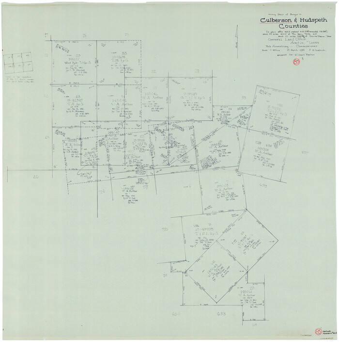

Print $20.00
- Digital $50.00
Culberson County Working Sketch 85
1981
Size 37.0 x 36.9 inches
Map/Doc 68539
Coke County Sketch File AB
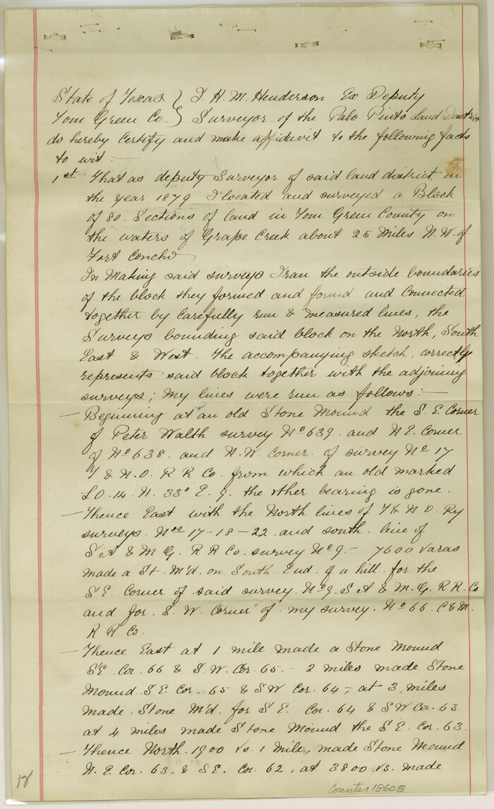

Print $12.00
- Digital $50.00
Coke County Sketch File AB
1884
Size 14.1 x 8.7 inches
Map/Doc 18608
[Surveys along the Medina River]
![52, [Surveys along the Medina River], General Map Collection](https://historictexasmaps.com/wmedia_w700/maps/52.tif.jpg)
![52, [Surveys along the Medina River], General Map Collection](https://historictexasmaps.com/wmedia_w700/maps/52.tif.jpg)
Print $2.00
- Digital $50.00
[Surveys along the Medina River]
1840
Size 8.2 x 14.3 inches
Map/Doc 52
Map of Kerr County Texas


Print $20.00
- Digital $50.00
Map of Kerr County Texas
1879
Size 20.3 x 28.3 inches
Map/Doc 3763
Houston County Sketch File 5a


Print $5.00
- Digital $50.00
Houston County Sketch File 5a
Size 8.5 x 9.4 inches
Map/Doc 26758
Andrews County Sketch File 10
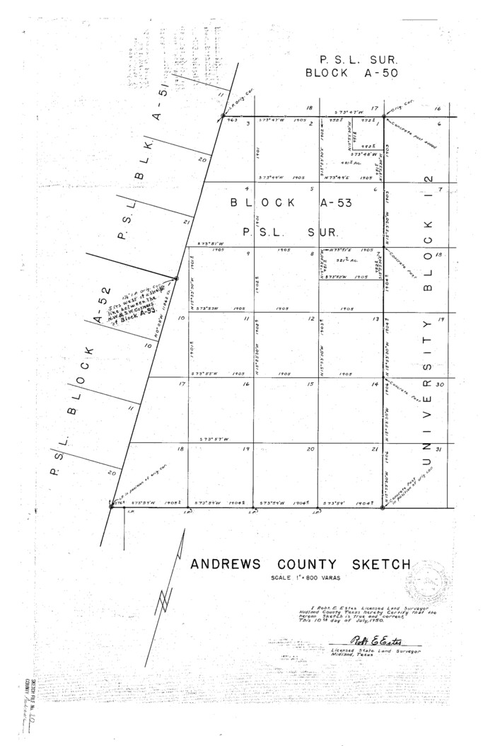

Print $40.00
- Digital $50.00
Andrews County Sketch File 10
1950
Size 27.4 x 18.2 inches
Map/Doc 10810
Travis County Working Sketch 4


Print $20.00
- Digital $50.00
Travis County Working Sketch 4
1906
Size 38.3 x 26.1 inches
Map/Doc 69388
Rusk County Working Sketch 19
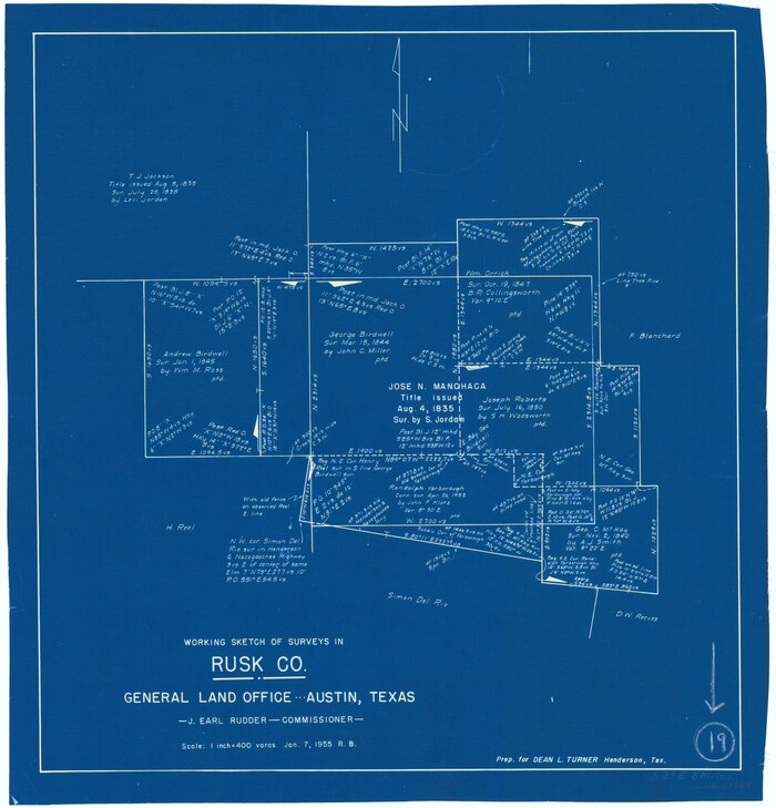

Print $20.00
- Digital $50.00
Rusk County Working Sketch 19
1955
Size 19.0 x 18.2 inches
Map/Doc 63654
Houston County Working Sketch 10
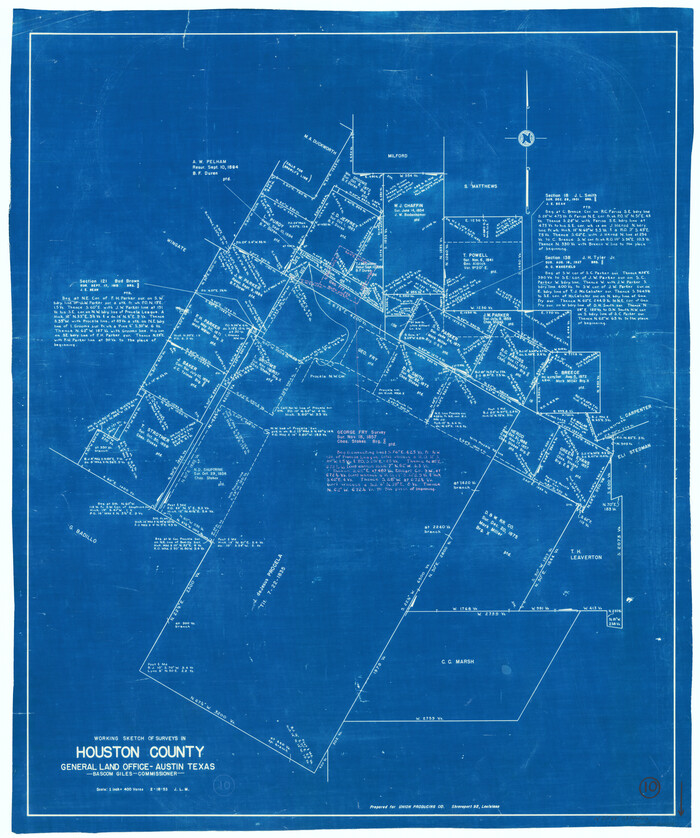

Print $20.00
- Digital $50.00
Houston County Working Sketch 10
1953
Size 32.7 x 27.3 inches
Map/Doc 66240
Dawson County Working Sketch 1
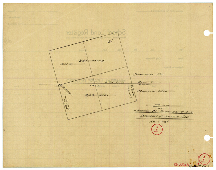

Print $20.00
- Digital $50.00
Dawson County Working Sketch 1
Size 11.1 x 14.1 inches
Map/Doc 68545
Flight Mission No. BQR-13K, Frame 23, Brazoria County
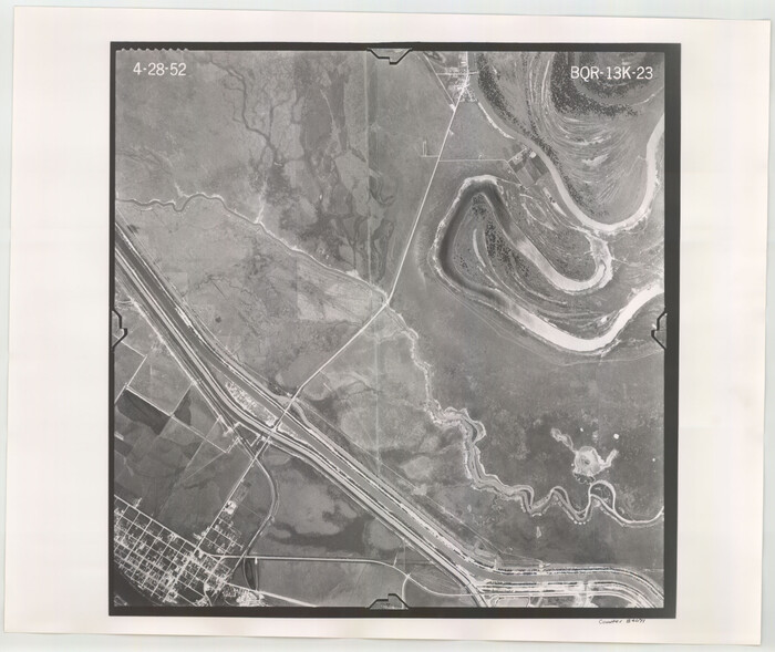

Print $20.00
- Digital $50.00
Flight Mission No. BQR-13K, Frame 23, Brazoria County
1952
Size 18.9 x 22.4 inches
Map/Doc 84071
Sketch Showing surveys on Harbor Island in Nueces County
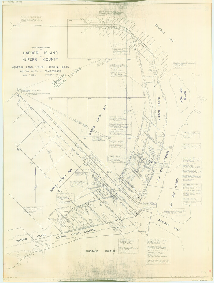

Print $20.00
- Digital $50.00
Sketch Showing surveys on Harbor Island in Nueces County
1951
Size 45.7 x 34.6 inches
Map/Doc 1915
You may also like
Calhoun County Rolled Sketch 30

Print $20.00
- Digital $50.00
Calhoun County Rolled Sketch 30
1974
Size 18.6 x 27.3 inches
Map/Doc 5487
San Luis Pass to East Matagorda Bay


Print $20.00
- Digital $50.00
San Luis Pass to East Matagorda Bay
1976
Size 35.1 x 46.7 inches
Map/Doc 69969
[Sketch showing sections 6, 7, 16, 32, 42 and 43]
![91775, [Sketch showing sections 6, 7, 16, 32, 42 and 43], Twichell Survey Records](https://historictexasmaps.com/wmedia_w700/maps/91775-1.tif.jpg)
![91775, [Sketch showing sections 6, 7, 16, 32, 42 and 43], Twichell Survey Records](https://historictexasmaps.com/wmedia_w700/maps/91775-1.tif.jpg)
Print $3.00
- Digital $50.00
[Sketch showing sections 6, 7, 16, 32, 42 and 43]
Size 14.5 x 11.2 inches
Map/Doc 91775
Anderson County Sketch File 29

Print $4.00
- Digital $50.00
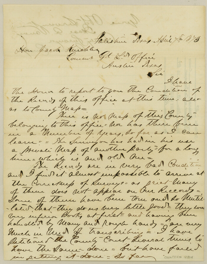
Anderson County Sketch File 29
1873
Size 10.4 x 8.2 inches
Map/Doc 12814
Flight Mission No. CRE-2R, Frame 90, Jackson County


Print $20.00
- Digital $50.00
Flight Mission No. CRE-2R, Frame 90, Jackson County
1956
Size 16.0 x 15.8 inches
Map/Doc 85362
Jack County Working Sketch 7


Print $20.00
- Digital $50.00
Jack County Working Sketch 7
1953
Size 37.2 x 31.9 inches
Map/Doc 66433
Cherokee County Working Sketch 25


Print $20.00
- Digital $50.00
Cherokee County Working Sketch 25
1972
Size 25.1 x 45.5 inches
Map/Doc 67980
Bowie County Working Sketch 3

Print $20.00
- Digital $50.00
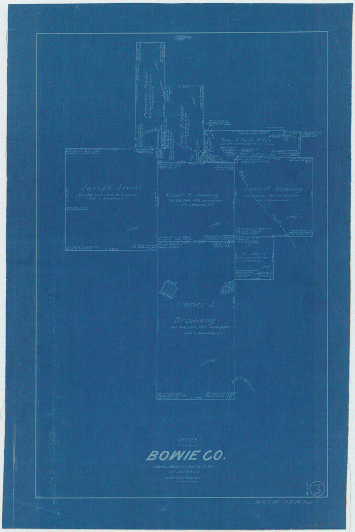
Bowie County Working Sketch 3
1913
Size 25.5 x 17.1 inches
Map/Doc 67407
Hale County Sketch File 21


Print $20.00
- Digital $50.00
Hale County Sketch File 21
Size 7.0 x 26.6 inches
Map/Doc 11597
Section Q Tech Memorial Park, Inc.

Print $20.00
- Digital $50.00
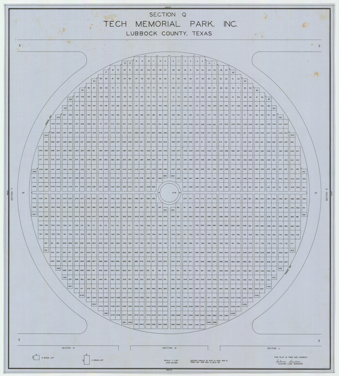
Section Q Tech Memorial Park, Inc.
1950
Size 28.5 x 31.6 inches
Map/Doc 92349
Right of Way and Track Map San Antonio and Aransas Pass Railway Co.


Print $4.00
- Digital $50.00
Right of Way and Track Map San Antonio and Aransas Pass Railway Co.
1919
Size 11.9 x 18.5 inches
Map/Doc 62562
![2086, [Subdivision of Nueces Bay and list of Court Decrees], General Map Collection](https://historictexasmaps.com/wmedia_w1800h1800/maps/2086-1.tif.jpg)
