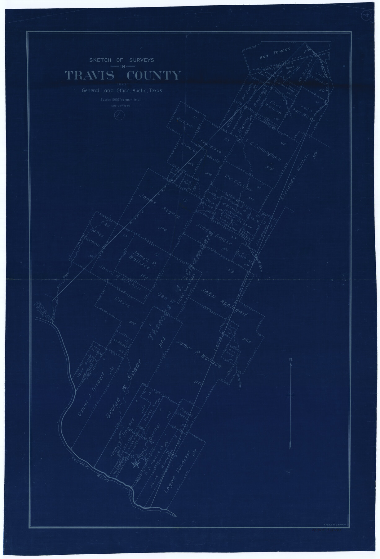
Travis County Working Sketch 4
-
Map/Doc
69388
-
Collection
General Map Collection
-
Object Dates
11/30/1906 (Creation Date)
-
People and Organizations
Frank R. Sweeney (Draftsman)
-
Counties
Travis
-
Subjects
Surveying Working Sketch
-
Height x Width
38.3 x 26.1 inches
97.3 x 66.3 cm
-
Scale
1" = 1000 varas
Part of: General Map Collection
Refugio County Rolled Sketch 8

Print $40.00
- Digital $50.00
Refugio County Rolled Sketch 8
1954
Size 53.9 x 46.7 inches
Map/Doc 9860
Collingsworth County Sketch File 8

Print $4.00
- Digital $50.00
Collingsworth County Sketch File 8
Size 7.4 x 11.6 inches
Map/Doc 18889
Val Verde County Rolled Sketch 66

Print $40.00
- Digital $50.00
Val Verde County Rolled Sketch 66
1957
Size 30.7 x 55.0 inches
Map/Doc 10084
Cameron County Rolled Sketch US2

Print $168.00
- Digital $50.00
Cameron County Rolled Sketch US2
1913
Size 10.4 x 16.3 inches
Map/Doc 43804

[Surveys along Seco, Pecan and Deer Creeks]
![316, [Surveys along Seco, Pecan and Deer Creeks], General Map Collection](https://historictexasmaps.com/wmedia_w700/maps/316.tif.jpg)
Print $2.00
- Digital $50.00
[Surveys along Seco, Pecan and Deer Creeks]
1847
Size 8.9 x 7.8 inches
Map/Doc 316
Pecos County Working Sketch 91a

Print $40.00
- Digital $50.00
Pecos County Working Sketch 91a
1965
Size 78.9 x 32.5 inches
Map/Doc 71563
Swisher County Working Sketch 6

Print $20.00
- Digital $50.00
Swisher County Working Sketch 6
1979
Size 23.2 x 19.7 inches
Map/Doc 62417
Matagorda County Rolled Sketch 11

Print $40.00
- Digital $50.00
Matagorda County Rolled Sketch 11
Size 39.8 x 62.0 inches
Map/Doc 8348
Hardin County Sketch File 37

Print $20.00
- Digital $50.00
Hardin County Sketch File 37
Size 20.4 x 17.7 inches
Map/Doc 11633
Leon County Working Sketch 10

Print $20.00
- Digital $50.00
Leon County Working Sketch 10
1951
Size 21.5 x 17.3 inches
Map/Doc 70409
[Galveston, Harrisburg & San Antonio Railroad from Cuero to Stockdale]
![64204, [Galveston, Harrisburg & San Antonio Railroad from Cuero to Stockdale], General Map Collection](https://historictexasmaps.com/wmedia_w700/maps/64204.tif.jpg)
Print $20.00
- Digital $50.00
[Galveston, Harrisburg & San Antonio Railroad from Cuero to Stockdale]
1907
Size 13.3 x 33.1 inches
Map/Doc 64204
You may also like
Gaines County Sketch File 14

Print $20.00
- Digital $50.00
Gaines County Sketch File 14
1954
Size 23.4 x 32.1 inches
Map/Doc 11525
Medina County Rolled Sketch 12

Print $20.00
- Digital $50.00
Medina County Rolled Sketch 12
1979
Size 20.9 x 14.7 inches
Map/Doc 6746
Dickens County, Texas

Print $20.00
- Digital $50.00
Dickens County, Texas
1883
Size 22.4 x 18.6 inches
Map/Doc 722
[T. & P. Block 43, Township 1N]
![90827, [T. & P. Block 43, Township 1N], Twichell Survey Records](https://historictexasmaps.com/wmedia_w700/maps/90827-2.tif.jpg)
Print $20.00
- Digital $50.00
[T. & P. Block 43, Township 1N]
Size 23.0 x 17.8 inches
Map/Doc 90827
Ward County Rolled Sketch 24B

Print $40.00
- Digital $50.00
Ward County Rolled Sketch 24B
1967
Size 24.7 x 56.4 inches
Map/Doc 10115
Grayson County

Print $20.00
- Digital $50.00
Grayson County
1935
Size 42.4 x 39.5 inches
Map/Doc 73162
Flight Mission No. DAG-24K, Frame 148, Matagorda County

Print $20.00
- Digital $50.00
Flight Mission No. DAG-24K, Frame 148, Matagorda County
1953
Size 18.5 x 22.2 inches
Map/Doc 86562
Gaines County Boundary File 2

Print $42.00
- Digital $50.00
Gaines County Boundary File 2
Size 11.5 x 52.3 inches
Map/Doc 53652
Flight Mission No. DAG-19K, Frame 66, Matagorda County

Print $20.00
- Digital $50.00
Flight Mission No. DAG-19K, Frame 66, Matagorda County
1952
Size 16.3 x 16.3 inches
Map/Doc 86393
General Highway Map, Palo Pinto County, Texas

Print $20.00
General Highway Map, Palo Pinto County, Texas
1961
Size 18.3 x 24.4 inches
Map/Doc 79623
Sutton County Working Sketch 52

Print $20.00
- Digital $50.00
Sutton County Working Sketch 52
1956
Size 19.2 x 31.4 inches
Map/Doc 62395
Flight Mission No. BRE-1P, Frame 33, Nueces County

Print $20.00
- Digital $50.00
Flight Mission No. BRE-1P, Frame 33, Nueces County
1956
Size 18.5 x 22.2 inches
Map/Doc 86629