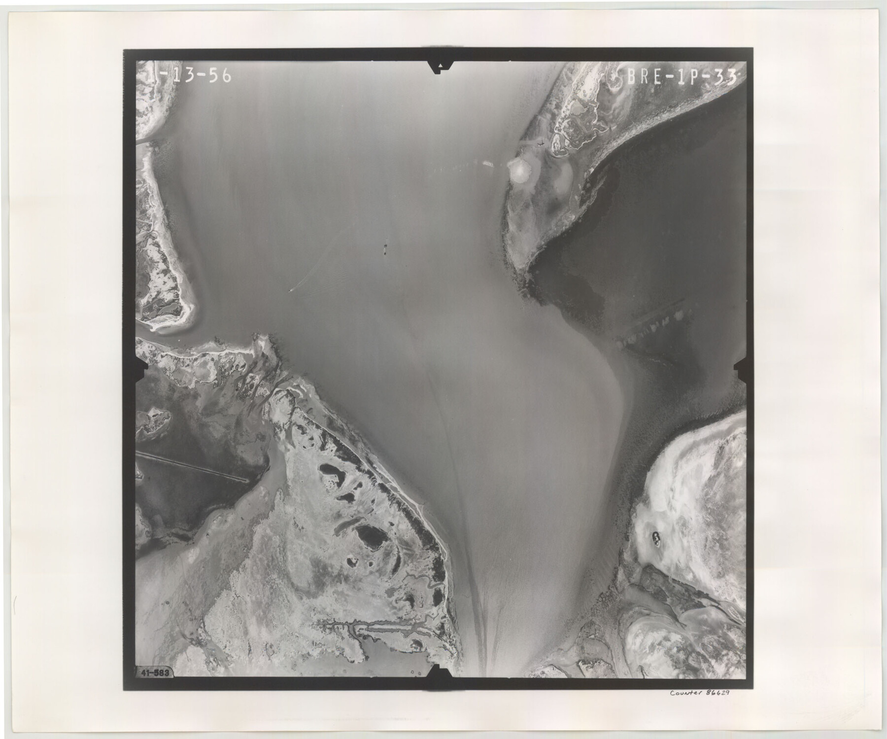
Flight Mission No. BRE-1P, Frame 33, Nueces County
BRE-1P-33
-
Map/Doc
86629
-
Collection
General Map Collection
-
Object Dates
1956/1/13 (Creation Date)
-
People and Organizations
U. S. Department of Agriculture (Publisher)
-
Counties
Nueces
-
Subjects
Aerial Photograph
-
Height x Width
18.5 x 22.2 inches
47.0 x 56.4 cm
-
Comments
Flown by V. L. Beavers and Associates of San Antonio, Texas.
Part of: General Map Collection
Nueces County NRC Article 33.136 Location Key Sheet

Print $20.00
- Digital $50.00
Nueces County NRC Article 33.136 Location Key Sheet
1975
Size 27.0 x 23.0 inches
Map/Doc 77032
Victoria County Working Sketch 3

Print $20.00
- Digital $50.00
Victoria County Working Sketch 3
1939
Size 14.0 x 18.3 inches
Map/Doc 72273
Montgomery County Sketch File 24

Print $6.00
- Digital $50.00
Montgomery County Sketch File 24
Size 12.2 x 8.0 inches
Map/Doc 31867

Crockett County Rolled Sketch 55

Print $40.00
- Digital $50.00
Crockett County Rolled Sketch 55
Size 42.3 x 95.8 inches
Map/Doc 8718
Nueces County Sketch File 66

Print $18.00
- Digital $50.00
Nueces County Sketch File 66
1981
Size 14.3 x 8.8 inches
Map/Doc 32989
Stonewall County Sketch File 23

Print $6.00
- Digital $50.00
Stonewall County Sketch File 23
1951
Size 11.3 x 8.9 inches
Map/Doc 37293
Zapata County Sketch File 13

Print $4.00
- Digital $50.00
Zapata County Sketch File 13
1930
Size 11.3 x 8.8 inches
Map/Doc 40952
Menard County Working Sketch 8

Print $20.00
- Digital $50.00
Menard County Working Sketch 8
1928
Size 19.2 x 15.7 inches
Map/Doc 70955
Kimble County Working Sketch 81

Print $20.00
- Digital $50.00
Kimble County Working Sketch 81
1971
Size 33.9 x 42.2 inches
Map/Doc 70149
Mitchell County Sketch File 7

Print $20.00
- Digital $50.00
Mitchell County Sketch File 7
1906
Size 19.4 x 12.4 inches
Map/Doc 12096
Navigation Maps of Gulf Intracoastal Waterway, Port Arthur to Brownsville, Texas

Print $4.00
- Digital $50.00
Navigation Maps of Gulf Intracoastal Waterway, Port Arthur to Brownsville, Texas
1951
Size 16.8 x 21.3 inches
Map/Doc 65450
You may also like
Flight Mission No. CRC-4R, Frame 112, Chambers County

Print $20.00
- Digital $50.00
Flight Mission No. CRC-4R, Frame 112, Chambers County
1956
Size 18.6 x 22.4 inches
Map/Doc 84909
Mexicque, ou Nouvelle Espagne, Nouvelle Gallice, Iucatan & c. et autres Provinces jusques a L'Isthme de Panama; ou font les Audiences de Mexico, de Guadalaiara, et de Guatimala

Print $20.00
- Digital $50.00
Mexicque, ou Nouvelle Espagne, Nouvelle Gallice, Iucatan & c. et autres Provinces jusques a L'Isthme de Panama; ou font les Audiences de Mexico, de Guadalaiara, et de Guatimala
1656
Size 15.7 x 22.3 inches
Map/Doc 95831
Schleicher County Sketch File 32

Print $22.00
- Digital $50.00
Schleicher County Sketch File 32
1941
Size 9.1 x 13.3 inches
Map/Doc 36532
Flight Mission No. CRC-3R, Frame 165, Chambers County

Print $20.00
- Digital $50.00
Flight Mission No. CRC-3R, Frame 165, Chambers County
1956
Size 18.8 x 22.5 inches
Map/Doc 84847
Flight Mission No. BRA-16M, Frame 102, Jefferson County

Print $20.00
- Digital $50.00
Flight Mission No. BRA-16M, Frame 102, Jefferson County
1953
Size 18.6 x 22.3 inches
Map/Doc 85714
[E. L. & R. R. RR. Co. Block D8 and vicinity]
![91862, [E. L. & R. R. RR. Co. Block D8 and vicinity], Twichell Survey Records](https://historictexasmaps.com/wmedia_w700/maps/91862-1.tif.jpg)
Print $20.00
- Digital $50.00
[E. L. & R. R. RR. Co. Block D8 and vicinity]
1889
Size 17.1 x 19.8 inches
Map/Doc 91862
Florida et Apalche

Print $20.00
- Digital $50.00
Florida et Apalche
1597
Size 11.2 x 14.4 inches
Map/Doc 94076
Kimble County Sketch File 39

Print $12.00
- Digital $50.00
Kimble County Sketch File 39
1885
Size 14.1 x 8.6 inches
Map/Doc 28997
Blanco County Rolled Sketch 15

Print $20.00
- Digital $50.00
Blanco County Rolled Sketch 15
Size 12.9 x 13.7 inches
Map/Doc 5151
University Lands Blocks 1 to 11 Andrews-Martin-Gaines-Dawson-Winkler Counties

Print $6.00
- Digital $50.00
University Lands Blocks 1 to 11 Andrews-Martin-Gaines-Dawson-Winkler Counties
Size 30.9 x 35.3 inches
Map/Doc 62930
Denton County Working Sketch 14

Print $40.00
- Digital $50.00
Denton County Working Sketch 14
1962
Size 60.5 x 36.3 inches
Map/Doc 68619
Hardin County Working Sketch 3

Print $3.00
- Digital $50.00
Hardin County Working Sketch 3
1906
Size 9.1 x 11.0 inches
Map/Doc 63401