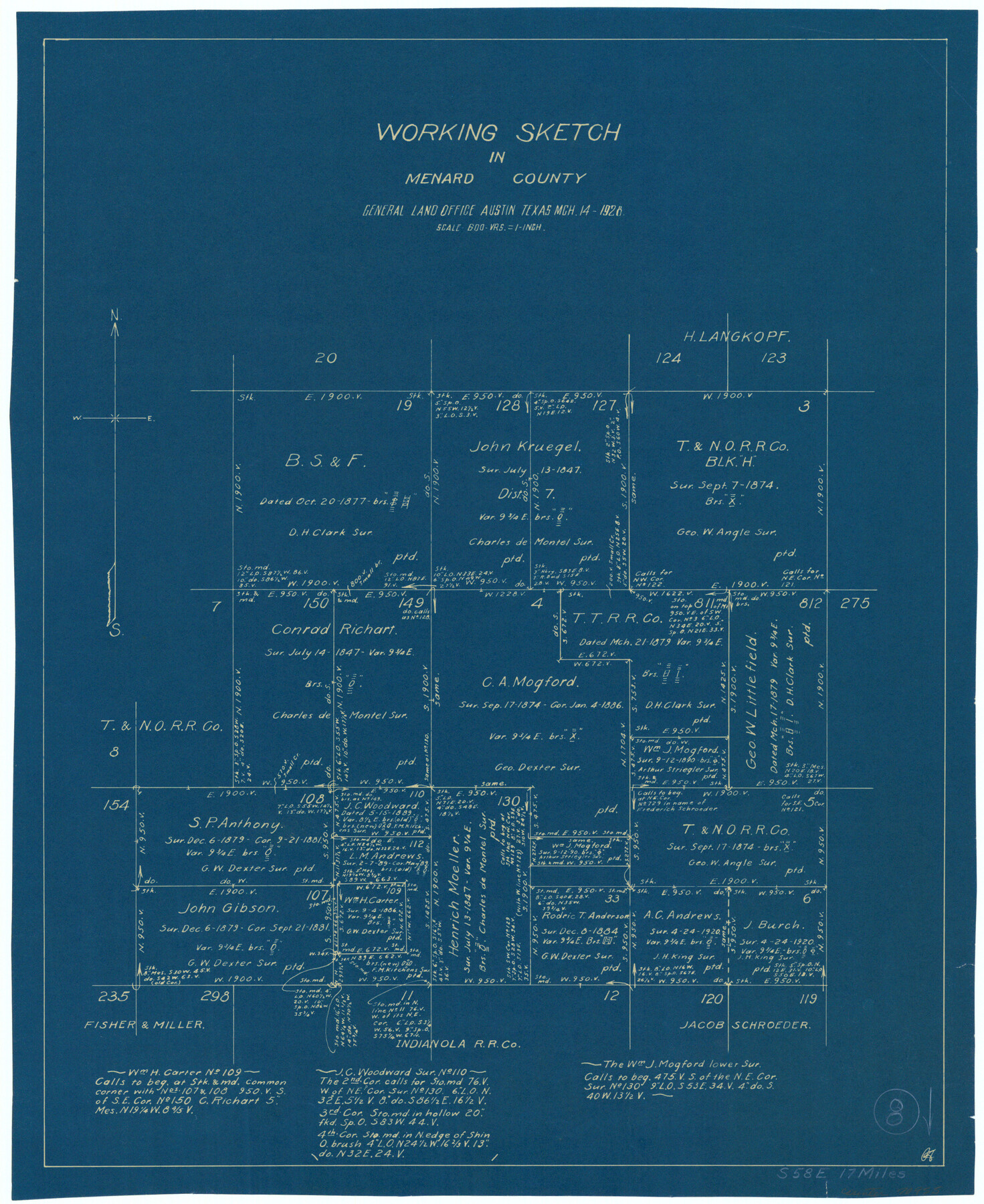
Menard County Working Sketch 8
-
Map/Doc
70955
-
Collection
General Map Collection
-
Object Dates
3/14/1928 (Creation Date)
-
Counties
Menard
-
Subjects
Surveying Working Sketch
-
Height x Width
19.2 x 15.7 inches
48.8 x 39.9 cm
-
Scale
1" = 600 varas
Part of: General Map Collection
Crane County Working Sketch 12

Print $20.00
- Digital $50.00
Crane County Working Sketch 12
1941
Size 18.6 x 18.1 inches
Map/Doc 68289
Brewster County Working Sketch 54

Print $20.00
- Digital $50.00
Brewster County Working Sketch 54
1952
Size 23.7 x 37.0 inches
Map/Doc 67655
Dallas County Rolled Sketch 2

Print $40.00
- Digital $50.00
Dallas County Rolled Sketch 2
1950
Size 36.9 x 51.0 inches
Map/Doc 8766
Marion County Sketch File 8

Print $4.00
- Digital $50.00
Marion County Sketch File 8
1852
Size 10.0 x 8.1 inches
Map/Doc 30575
Harris County Sketch File 15

Print $4.00
- Digital $50.00
Harris County Sketch File 15
Size 8.0 x 8.9 inches
Map/Doc 25359
Zavala County Rolled Sketch 16

Print $20.00
- Digital $50.00
Zavala County Rolled Sketch 16
Size 19.4 x 25.4 inches
Map/Doc 8321
Callahan County Sketch File 6a

Print $24.00
- Digital $50.00
Callahan County Sketch File 6a
Size 8.0 x 6.8 inches
Map/Doc 35860
Flight Mission No. DQO-3K, Frame 25, Galveston County

Print $20.00
- Digital $50.00
Flight Mission No. DQO-3K, Frame 25, Galveston County
1952
Size 18.8 x 22.4 inches
Map/Doc 85066
Jack County Working Sketch 4

Print $20.00
- Digital $50.00
Jack County Working Sketch 4
1951
Size 24.0 x 32.2 inches
Map/Doc 66430
Refugio County NRC Article 33.136 Sketch 1

Print $44.00
- Digital $50.00
Refugio County NRC Article 33.136 Sketch 1
2002
Size 24.5 x 36.8 inches
Map/Doc 76399
Uvalde County Rolled Sketch 15

Print $20.00
- Digital $50.00
Uvalde County Rolled Sketch 15
1979
Size 26.9 x 23.9 inches
Map/Doc 8099
Northern Part of Laguna Madre

Print $20.00
- Digital $50.00
Northern Part of Laguna Madre
1965
Size 44.5 x 35.0 inches
Map/Doc 73526
You may also like
Nacogdoches County Working Sketch 1

Print $20.00
- Digital $50.00
Nacogdoches County Working Sketch 1
Size 27.8 x 35.8 inches
Map/Doc 71217
Presidio County Working Sketch 56

Print $20.00
- Digital $50.00
Presidio County Working Sketch 56
1955
Size 13.9 x 22.0 inches
Map/Doc 71733
Presidio County Sketch File 61

Print $3.00
- Digital $50.00
Presidio County Sketch File 61
1930
Size 9.3 x 15.4 inches
Map/Doc 89987
Map of Ellis County

Print $20.00
- Digital $50.00
Map of Ellis County
1871
Size 19.2 x 27.1 inches
Map/Doc 3509
Brazoria County NRC Article 33.136 Sketch 1

Print $20.00
- Digital $50.00
Brazoria County NRC Article 33.136 Sketch 1
2000
Size 24.7 x 35.9 inches
Map/Doc 61555
The T. B. Duggan Subdivision of League 125 and N 3/5 of League 126, Coke County School Lands, Cochran County, Texas

Print $20.00
- Digital $50.00
The T. B. Duggan Subdivision of League 125 and N 3/5 of League 126, Coke County School Lands, Cochran County, Texas
1920
Size 14.9 x 21.5 inches
Map/Doc 90300
Edwards County Sketch File 52

Print $20.00
- Digital $50.00
Edwards County Sketch File 52
1972
Size 19.9 x 35.1 inches
Map/Doc 11446
International Railroad Map & Profile of the First Fifty Miles East of Brazos River

Print $20.00
- Digital $50.00
International Railroad Map & Profile of the First Fifty Miles East of Brazos River
1877
Size 18.8 x 45.7 inches
Map/Doc 64464
Bandera County Working Sketch Graphic Index

Print $40.00
- Digital $50.00
Bandera County Working Sketch Graphic Index
1947
Size 33.5 x 53.8 inches
Map/Doc 76461
Armstrong County Sketch File A-15

Print $40.00
- Digital $50.00
Armstrong County Sketch File A-15
Size 17.8 x 14.0 inches
Map/Doc 13716
Map of the L.I.T. Ranche situated in the Panhandle of Texas the property of the Prairie Cattle Co. L'd

Print $20.00
- Digital $50.00
Map of the L.I.T. Ranche situated in the Panhandle of Texas the property of the Prairie Cattle Co. L'd
1989
Size 21.0 x 12.6 inches
Map/Doc 2483
Stonewall County Sketch File 23

Print $6.00
- Digital $50.00
Stonewall County Sketch File 23
1951
Size 11.3 x 8.9 inches
Map/Doc 37293