
Vacancy Application - John H. Tyler near T.C. Ry. Co. Block 1 Surveys 101, 102, 103, & 104. Letters and Maps, Pecos County
1934
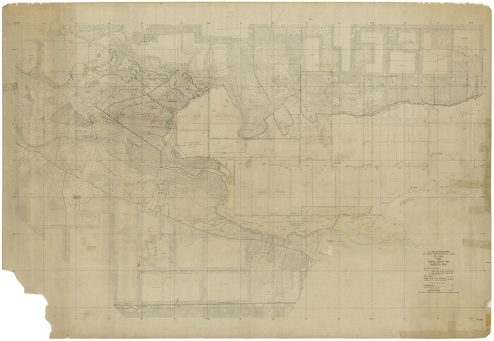
[Subdivision of Nueces Bay and list of Court Decrees]
1940

Plat showing proposed counties to be taken from Zapata, Starr & Hidalgo Counties
1911
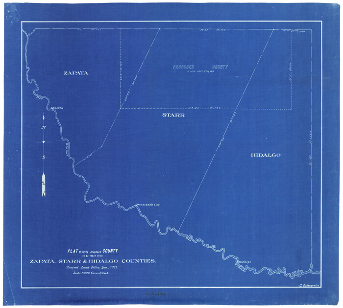
Plat showing proposed counties to be taken from Zapata, Starr & Hidalgo Counties
1911
The State of Texas vs. Chas. J. Canda, et al, T. & P. Ry. Co., No. 10351
1893

Supreme Court of the United States, October Term, 1923, No. 15, Original - The State of Oklahoma, Complainant vs. The State of Texas, Defendant, The United States, Intervener; Report of Medial Line Survey
1924
Supreme Court of the United States, October Term, 1923, No. 15, Original - The State of Oklahoma, Complainant vs. The State of Texas, Defendant, The United States, Intervener; Report of the Boundary Commissioners
1924
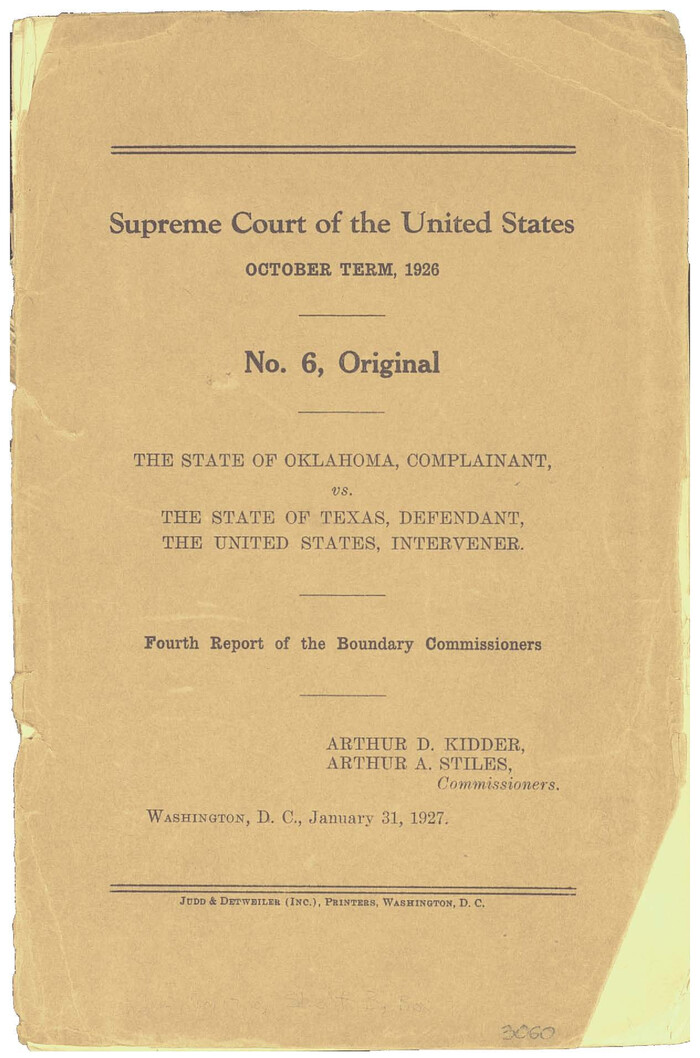
Supreme Court of the United States October Term, 1926, No. 6, Original - State of Oklahoma, Complainant vs. The State of Texas, Defendant, the United States, Intervener; Fourth Report of the Boundary Commissioners
1927
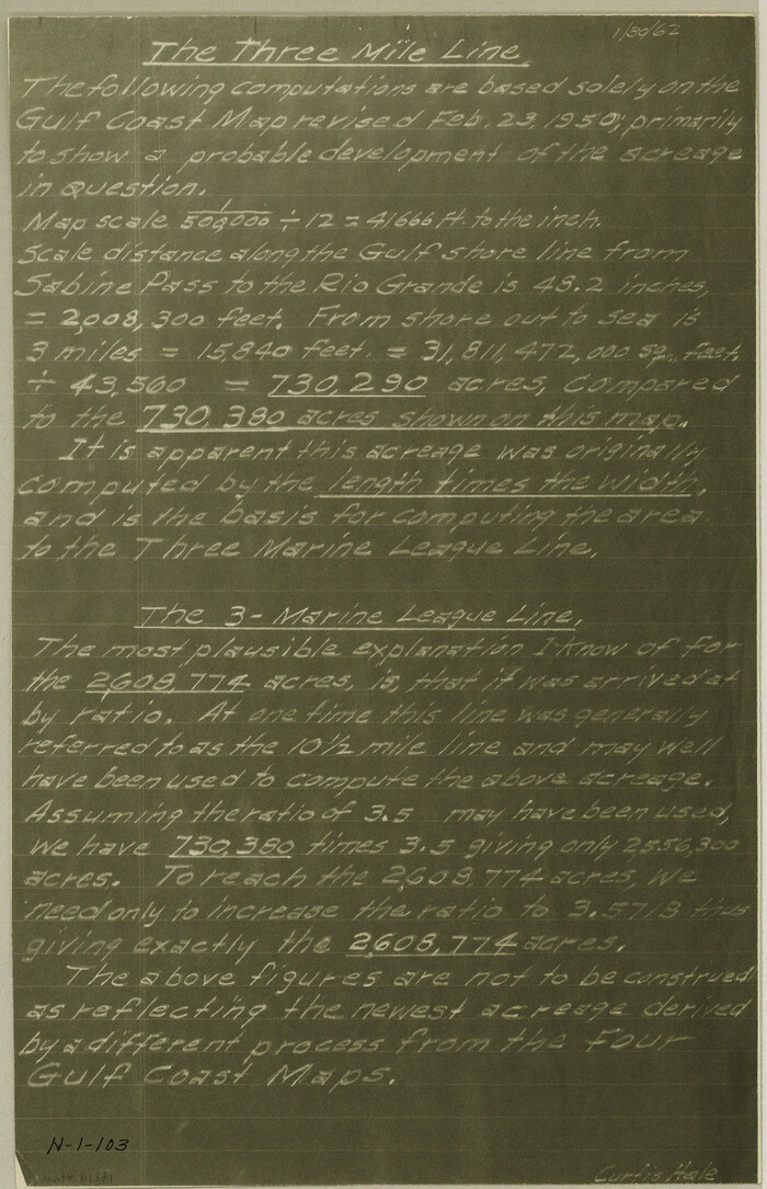
[Three-Marine League line stipulation as determined by US Supreme Court, October 1968 term; corrections to stipulation; Texas GLO approximations of county areas embraced by county boundaries, shoreline and 3-marine league line and 3-mile line]
1962
![65469, [Field notes, sketch and legislation regarding the National Road from Dallas at the mouth of the Elm Fork of the Trinity to the mouth of Kiamechi on Red River], General Map Collection](https://historictexasmaps.com/wmedia_w700/pdf_converted_jpg/qi_pdf_thumbnail_19857.jpg)
[Field notes, sketch and legislation regarding the National Road from Dallas at the mouth of the Elm Fork of the Trinity to the mouth of Kiamechi on Red River]
1844

Maps of Block 97, Borden & Scurry Counties
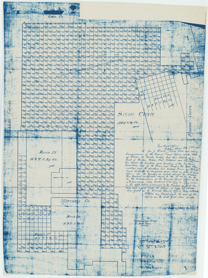
[Map of Block 97, Borden and Scurry Co (Exhibit A); Map of Southeastern part of Young Territory; Map of part of of Borden, Fisher, Kent, Mitchell, Scurry and Garza Cos. Showing the north boundary line of the T&P 80 mile reservation]
1901

Map of Northern Boundary Line of Texas and Pacific 80 Mile Reservation
1902

Statement of Facts - State of Texas vs. F. B. Olcott, Cause 17090, 12/18/1902
1902
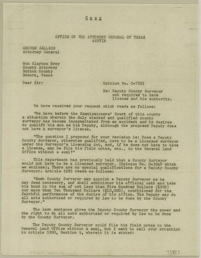
Current Miscellaneous File 5
1946

Current Miscellaneous File 9
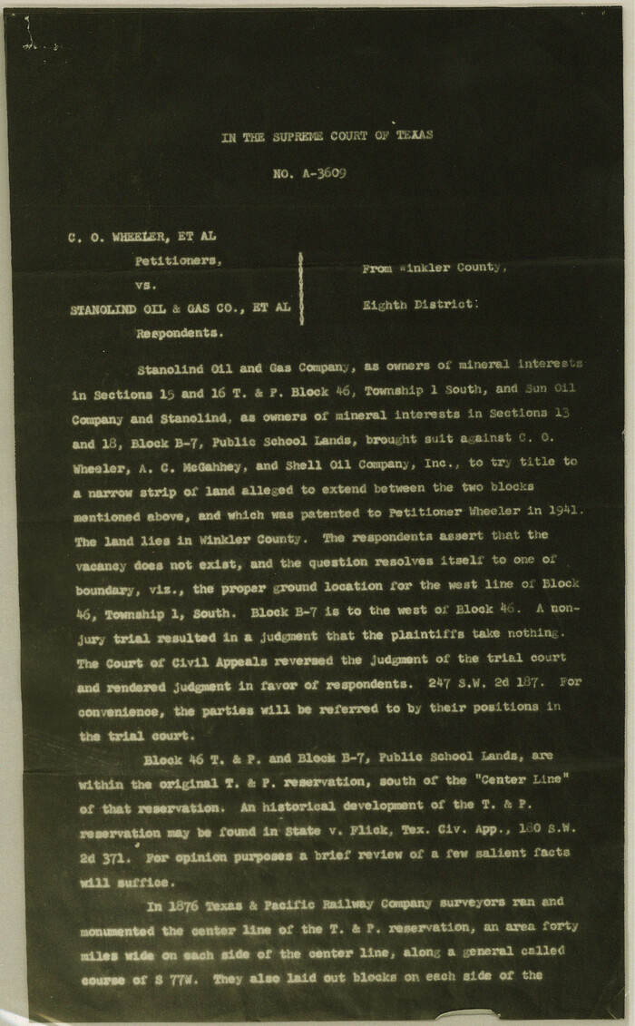
Current Miscellaneous File 22
1952

Current Miscellaneous File 40
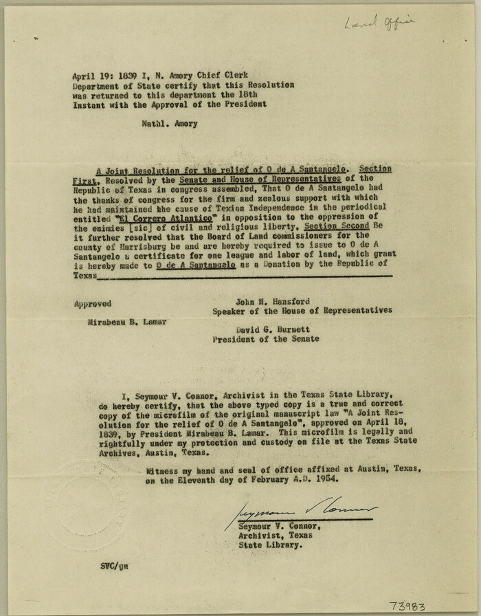
Current Miscellaneous File 43
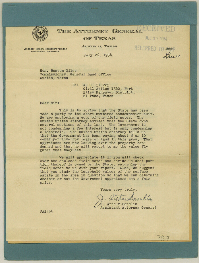
Current Miscellaneous File 56
1954

Current Miscellaneous File 59
1836

Current Miscellaneous File 64
1954

Current Miscellaneous File 80

Current Miscellaneous File 101
1931
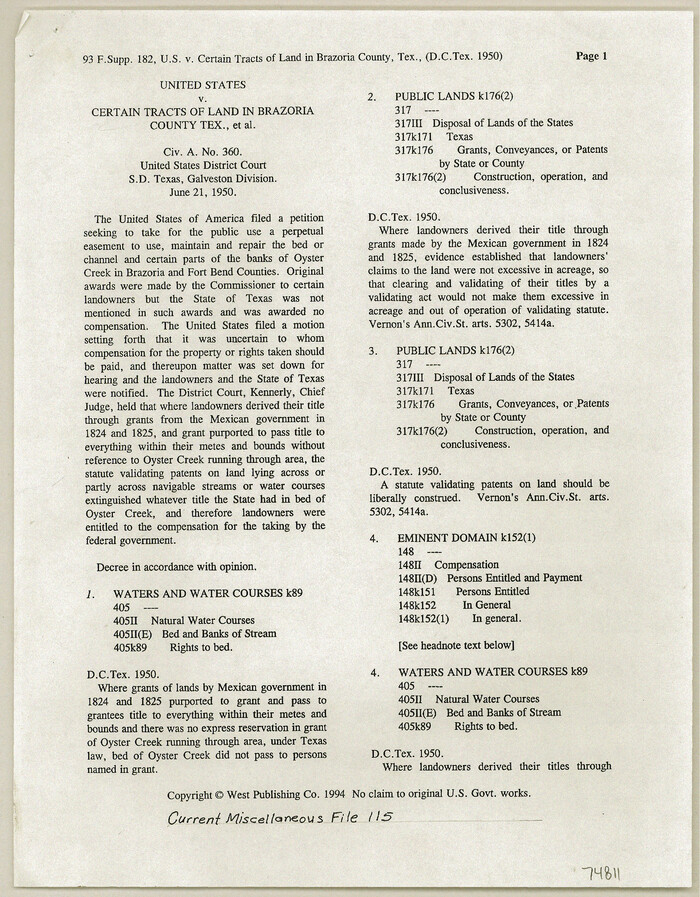
Current Miscellaneous File 115
1950
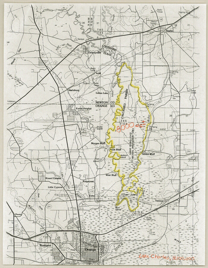
Current Miscellaneous File 116
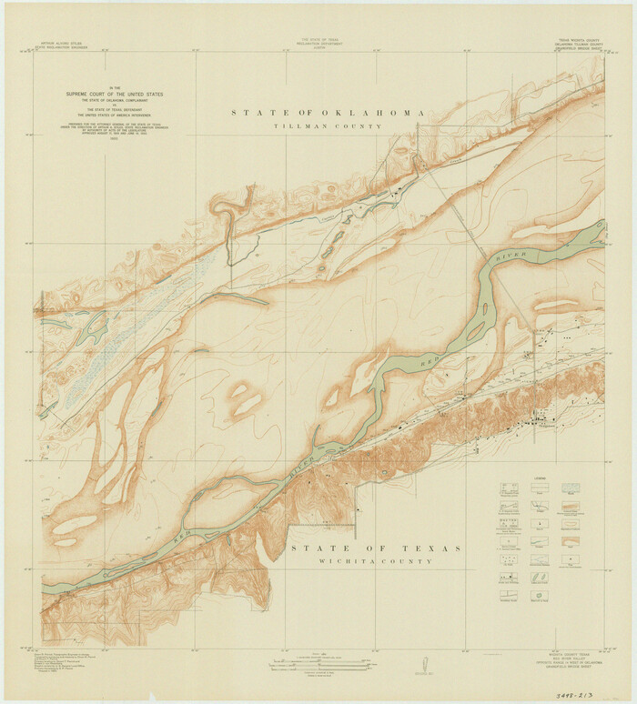
In the Supreme Court of the United States The State of Oklahoma, Complainant vs. The State of Texas, Defendant, The United States of America, Intervener - 1920
1920
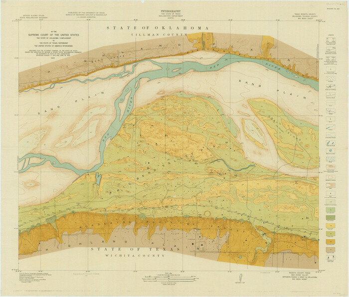
In the Supreme Court of the United States The State of Oklahoma, Complainant vs. The State of Texas, Defendant, The United States of America, Intervener - 1920
1920

In the Supreme Court of the United States The State of Oklahoma, Complainant vs. The State of Texas, Defendant, The United States of America, Intervener - 1921
1921
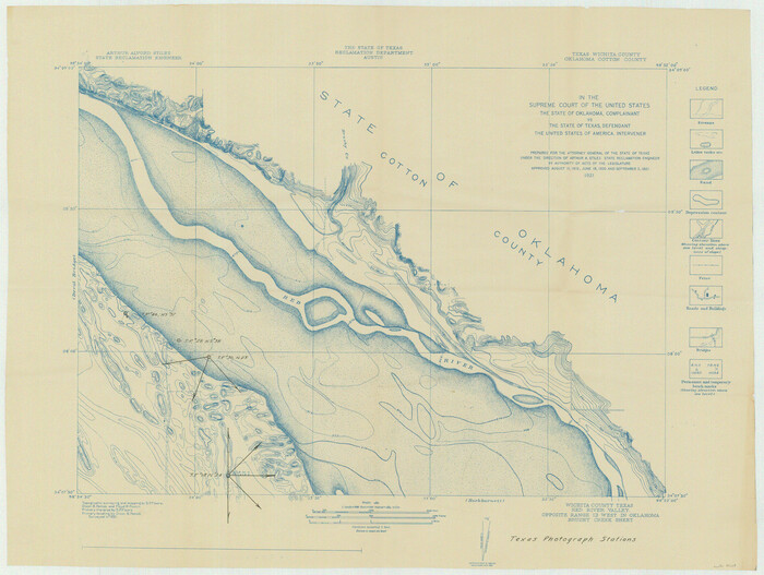
In the Supreme Court of the United States The State of Oklahoma, Complainant vs. The State of Texas, Defendant, The United States of America, Intervener - 1921
1921

Vacancy Application - John H. Tyler near T.C. Ry. Co. Block 1 Surveys 101, 102, 103, & 104. Letters and Maps, Pecos County
1934
-
Size
18.1 x 21.1 inches
-
Map/Doc
2048
-
Creation Date
1934
![2086, [Subdivision of Nueces Bay and list of Court Decrees], General Map Collection](https://historictexasmaps.com/wmedia_w700/maps/2086-1.tif.jpg)
[Subdivision of Nueces Bay and list of Court Decrees]
1940
-
Size
34.2 x 48.8 inches
-
Map/Doc
2086
-
Creation Date
1940

Plat showing proposed counties to be taken from Zapata, Starr & Hidalgo Counties
1911
-
Size
24.8 x 27.0 inches
-
Map/Doc
2478
-
Creation Date
1911

Plat showing proposed counties to be taken from Zapata, Starr & Hidalgo Counties
1911
-
Size
24.8 x 27.8 inches
-
Map/Doc
2660
-
Creation Date
1911

The State of Texas vs. Chas. J. Canda, et al, T. & P. Ry. Co., No. 10351
1893
-
Size
10.0 x 17.0 inches
-
Map/Doc
3048
-
Creation Date
1893

Supreme Court of the United States, October Term, 1923, No. 15, Original - The State of Oklahoma, Complainant vs. The State of Texas, Defendant, The United States, Intervener; Report of Medial Line Survey
1924
-
Size
5.9 x 9.1 inches
-
Map/Doc
3055
-
Creation Date
1924

Supreme Court of the United States, October Term, 1923, No. 15, Original - The State of Oklahoma, Complainant vs. The State of Texas, Defendant, The United States, Intervener; Report of the Boundary Commissioners
1924
-
Size
6.1 x 9.2 inches
-
Map/Doc
3058
-
Creation Date
1924

Supreme Court of the United States October Term, 1926, No. 6, Original - State of Oklahoma, Complainant vs. The State of Texas, Defendant, the United States, Intervener; Fourth Report of the Boundary Commissioners
1927
-
Size
6.0 x 9.2 inches
-
Map/Doc
3060
-
Creation Date
1927

[Three-Marine League line stipulation as determined by US Supreme Court, October 1968 term; corrections to stipulation; Texas GLO approximations of county areas embraced by county boundaries, shoreline and 3-marine league line and 3-mile line]
1962
-
Size
13.4 x 8.7 inches
-
Map/Doc
61371
-
Creation Date
1962
![65469, [Field notes, sketch and legislation regarding the National Road from Dallas at the mouth of the Elm Fork of the Trinity to the mouth of Kiamechi on Red River], General Map Collection](https://historictexasmaps.com/wmedia_w700/pdf_converted_jpg/qi_pdf_thumbnail_19857.jpg)
[Field notes, sketch and legislation regarding the National Road from Dallas at the mouth of the Elm Fork of the Trinity to the mouth of Kiamechi on Red River]
1844
-
Size
6.8 x 11.2 inches
-
Map/Doc
65469
-
Creation Date
1844

Maps of Block 97, Borden & Scurry Counties
-
Size
58.2 x 42.2 inches
-
Map/Doc
65691
![65693, [Map of Block 97, Borden and Scurry Co (Exhibit A); Map of Southeastern part of Young Territory; Map of part of of Borden, Fisher, Kent, Mitchell, Scurry and Garza Cos. Showing the north boundary line of the T&P 80 mile reservation], General Map Collection](https://historictexasmaps.com/wmedia_w700/maps/65693.tif.jpg)
[Map of Block 97, Borden and Scurry Co (Exhibit A); Map of Southeastern part of Young Territory; Map of part of of Borden, Fisher, Kent, Mitchell, Scurry and Garza Cos. Showing the north boundary line of the T&P 80 mile reservation]
1901
-
Size
31.2 x 23.3 inches
-
Map/Doc
65693
-
Creation Date
1901

Map of Northern Boundary Line of Texas and Pacific 80 Mile Reservation
1902
-
Size
16.8 x 16.7 inches
-
Map/Doc
65694
-
Creation Date
1902

Statement of Facts - State of Texas vs. F. B. Olcott, Cause 17090, 12/18/1902
1902
-
Size
14.3 x 8.9 inches
-
Map/Doc
65724
-
Creation Date
1902

Current Miscellaneous File 5
1946
-
Size
11.3 x 8.8 inches
-
Map/Doc
73727
-
Creation Date
1946

Current Miscellaneous File 9
-
Size
6.5 x 8.2 inches
-
Map/Doc
73741

Current Miscellaneous File 22
1952
-
Size
14.2 x 8.8 inches
-
Map/Doc
73876
-
Creation Date
1952

Current Miscellaneous File 40
-
Size
14.2 x 8.7 inches
-
Map/Doc
73972

Current Miscellaneous File 43
-
Size
11.2 x 8.7 inches
-
Map/Doc
73983

Current Miscellaneous File 56
1954
-
Size
12.2 x 9.2 inches
-
Map/Doc
74045
-
Creation Date
1954

Current Miscellaneous File 59
1836
-
Size
11.4 x 8.9 inches
-
Map/Doc
74056
-
Creation Date
1836

Current Miscellaneous File 64
1954
-
Size
10.8 x 8.5 inches
-
Map/Doc
74103
-
Creation Date
1954

Current Miscellaneous File 80
-
Size
13.7 x 8.7 inches
-
Map/Doc
74213

Current Miscellaneous File 101
1931
-
Size
8.8 x 14.2 inches
-
Map/Doc
74357
-
Creation Date
1931

Current Miscellaneous File 115
1950
-
Size
11.3 x 8.8 inches
-
Map/Doc
74811
-
Creation Date
1950

Current Miscellaneous File 116
-
Size
11.3 x 8.8 inches
-
Map/Doc
74819

In the Supreme Court of the United States The State of Oklahoma, Complainant vs. The State of Texas, Defendant, The United States of America, Intervener - 1920
1920
-
Size
39.4 x 35.6 inches
-
Map/Doc
75111
-
Creation Date
1920

In the Supreme Court of the United States The State of Oklahoma, Complainant vs. The State of Texas, Defendant, The United States of America, Intervener - 1920
1920
-
Size
31.6 x 37.2 inches
-
Map/Doc
75115
-
Creation Date
1920

In the Supreme Court of the United States The State of Oklahoma, Complainant vs. The State of Texas, Defendant, The United States of America, Intervener - 1921
1921
-
Size
25.7 x 61.1 inches
-
Map/Doc
75127
-
Creation Date
1921

In the Supreme Court of the United States The State of Oklahoma, Complainant vs. The State of Texas, Defendant, The United States of America, Intervener - 1921
1921
-
Size
24.4 x 32.4 inches
-
Map/Doc
75128
-
Creation Date
1921