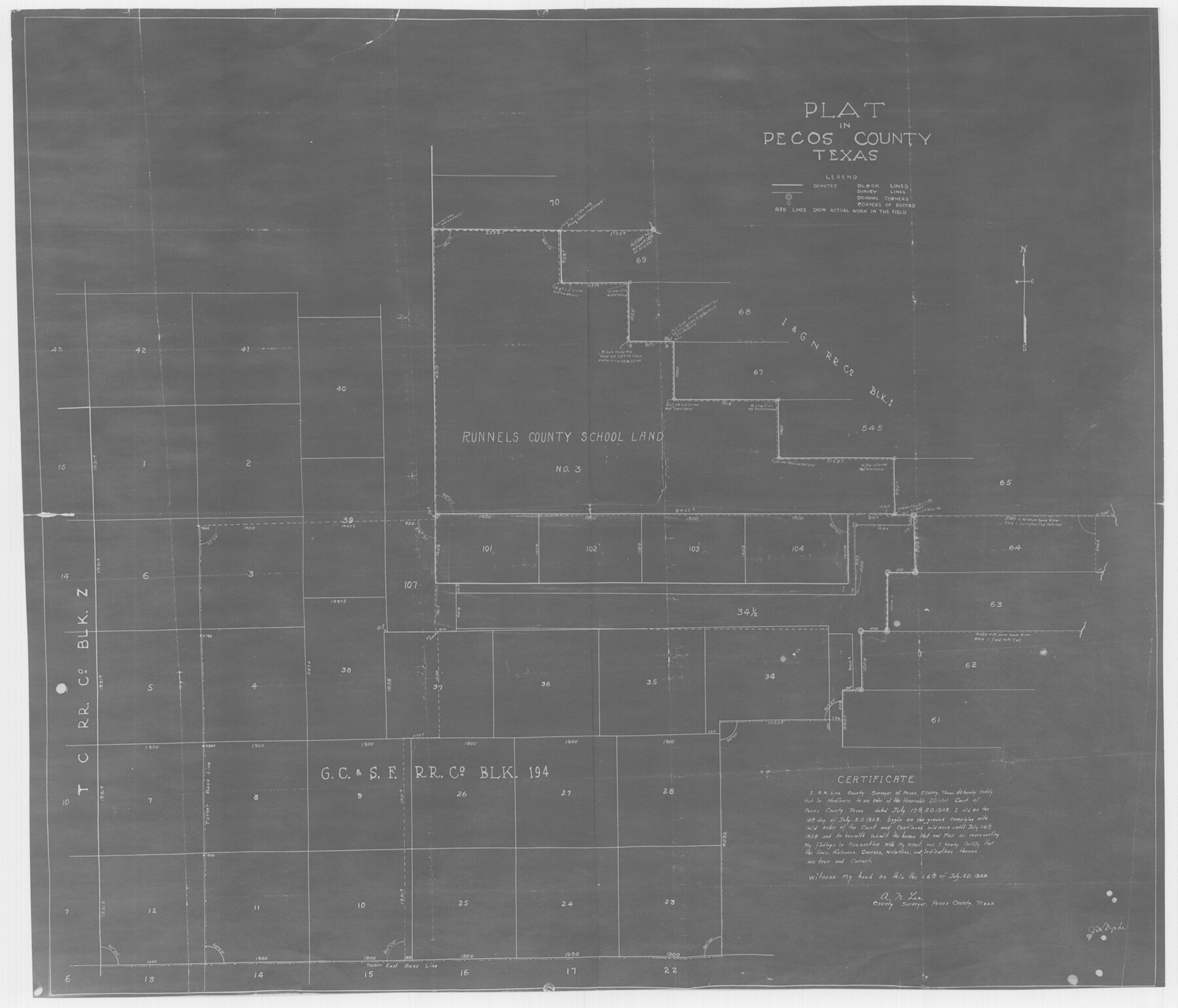
Vacancy Application - John H. Tyler near T.C. Ry. Co. Block 1 Surveys 101, 102, 103, & 104. Letters and Maps, Pecos County
N-1-1
N-1-1
-
Map/Doc
2048
-
Collection
General Map Collection
-
Object Dates
1934 (Creation Date)
-
People and Organizations
General Land Office (Publisher)
-
Counties
Pecos
-
Subjects
Legal
-
Height x Width
18.1 x 21.1 inches
46.0 x 53.6 cm
-
Medium
multi-page, multi-format
Part of: General Map Collection
Mason County Boundary File 5

Print $20.00
- Digital $50.00
Mason County Boundary File 5
Size 9.7 x 7.0 inches
Map/Doc 56862
Val Verde County Working Sketch 2

Print $20.00
- Digital $50.00
Val Verde County Working Sketch 2
Size 27.9 x 23.8 inches
Map/Doc 72137
Mitchell County Working Sketch 5

Print $40.00
- Digital $50.00
Mitchell County Working Sketch 5
1956
Size 60.4 x 28.2 inches
Map/Doc 71062
Callahan County Sketch File 2

Print $8.00
- Digital $50.00
Callahan County Sketch File 2
1858
Size 11.8 x 8.7 inches
Map/Doc 35853
Howard County Working Sketch 13

Print $20.00
- Digital $50.00
Howard County Working Sketch 13
1983
Size 33.3 x 37.3 inches
Map/Doc 66281
Chambers County Sketch File 38

Print $20.00
- Digital $50.00
Chambers County Sketch File 38
Size 25.1 x 35.8 inches
Map/Doc 11068
McLennan County Sketch File 19

Print $18.00
- Digital $50.00
McLennan County Sketch File 19
1889
Size 12.8 x 7.9 inches
Map/Doc 31284
Harris County Sketch File 52

Print $20.00
- Digital $50.00
Harris County Sketch File 52
1914
Size 21.7 x 26.0 inches
Map/Doc 11653
Pecos County Rolled Sketch 100

Print $20.00
- Digital $50.00
Pecos County Rolled Sketch 100
1936
Size 45.2 x 25.2 inches
Map/Doc 9712
Van Zandt County

Print $20.00
- Digital $50.00
Van Zandt County
1972
Size 45.8 x 40.1 inches
Map/Doc 77446
Concho County Working Sketch 7

Print $20.00
- Digital $50.00
Concho County Working Sketch 7
1948
Size 44.3 x 46.0 inches
Map/Doc 68189
Matagorda County Working Sketch 14

Print $40.00
- Digital $50.00
Matagorda County Working Sketch 14
1950
Size 42.9 x 50.5 inches
Map/Doc 70872
You may also like
Flight Mission No. DAG-24K, Frame 151, Matagorda County

Print $20.00
- Digital $50.00
Flight Mission No. DAG-24K, Frame 151, Matagorda County
1953
Size 18.5 x 22.1 inches
Map/Doc 86565
Harrison County

Print $20.00
- Digital $50.00
Harrison County
1920
Size 42.8 x 39.8 inches
Map/Doc 73173
Atascosa County Sketch File 9

Print $4.00
- Digital $50.00
Atascosa County Sketch File 9
1858
Size 8.1 x 12.6 inches
Map/Doc 13763
Chambers County Working Sketch 14

Print $20.00
- Digital $50.00
Chambers County Working Sketch 14
1957
Size 30.3 x 19.0 inches
Map/Doc 67997
Galveston County NRC Article 33.136 Sketch 15

Print $24.00
- Digital $50.00
Galveston County NRC Article 33.136 Sketch 15
2002
Size 23.0 x 35.0 inches
Map/Doc 77046
The Rand McNally New Commercial Atlas Map of Texas

Print $20.00
- Digital $50.00
The Rand McNally New Commercial Atlas Map of Texas
1915
Size 28.5 x 40.3 inches
Map/Doc 95862
Cameron County Rolled Sketch 5

Print $20.00
- Digital $50.00
Cameron County Rolled Sketch 5
Size 35.8 x 38.8 inches
Map/Doc 8562
Cass County Sketch File 19

Print $40.00
- Digital $50.00
Cass County Sketch File 19
1893
Size 15.7 x 12.6 inches
Map/Doc 17422
Flight Mission No. BRE-2P, Frame 100, Nueces County

Print $20.00
- Digital $50.00
Flight Mission No. BRE-2P, Frame 100, Nueces County
1956
Size 18.5 x 22.3 inches
Map/Doc 86785
Dallas County Working Sketch 13

Print $20.00
- Digital $50.00
Dallas County Working Sketch 13
1984
Size 27.9 x 32.6 inches
Map/Doc 68579
Survey of Block L, University Lands, El Paso County, Texas

Print $40.00
- Digital $50.00
Survey of Block L, University Lands, El Paso County, Texas
1971
Size 43.4 x 71.6 inches
Map/Doc 2440
Tom Green County Sketch File 85

Print $4.00
- Digital $50.00
Tom Green County Sketch File 85
1912
Size 11.4 x 9.0 inches
Map/Doc 38256