
Land grants from the state of Tamaulipas in the trans-Nueces
2009
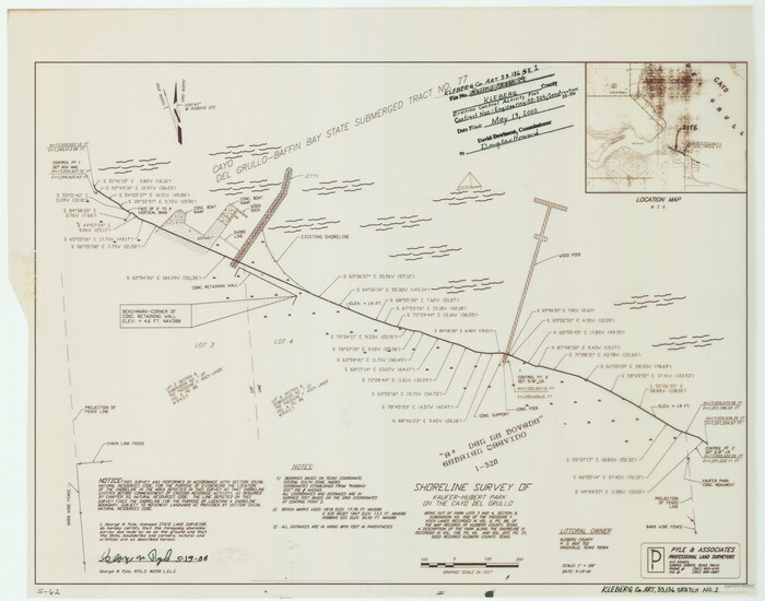
Kleberg County NRC Article 33.136 Sketch 1
2000
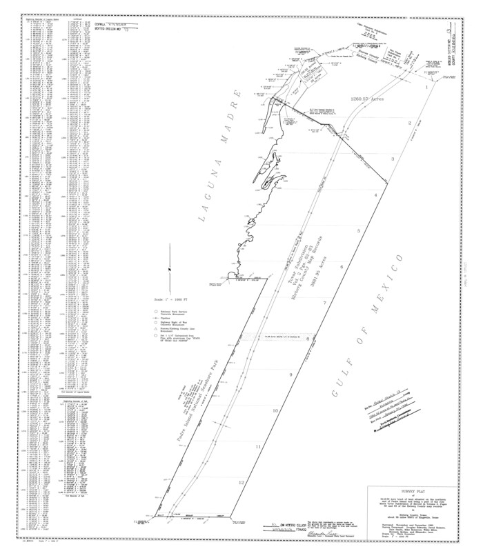
Kleberg County Rolled Sketch 13
1995
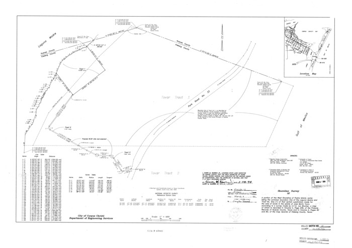
Kleberg County Rolled Sketch 12
1994

Kleberg County Sketch File 1
1994
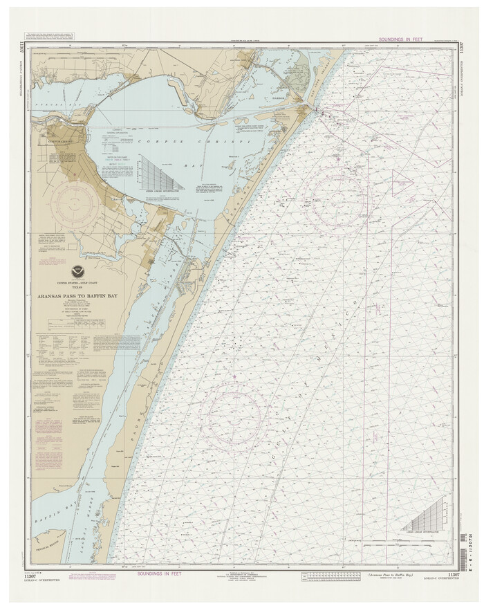
Aransas Pass to Baffin Bay
1992

Aransas Pass to Baffin Bay
1988
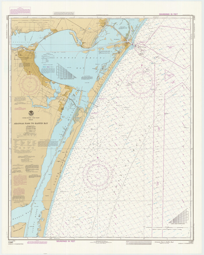
Aransas Pass to Baffin Bay
1986

Aransas Pass to Baffin Bay
1981

Aransas Pass to Baffin Bay
1976

Texas Gulf Coast, from the Sabine River to the Rio Grande as Subdivided for Mineral Development; Aransas, Nueces, Kleberg, Kenedy, Willacy, and Cameron Counties
1976
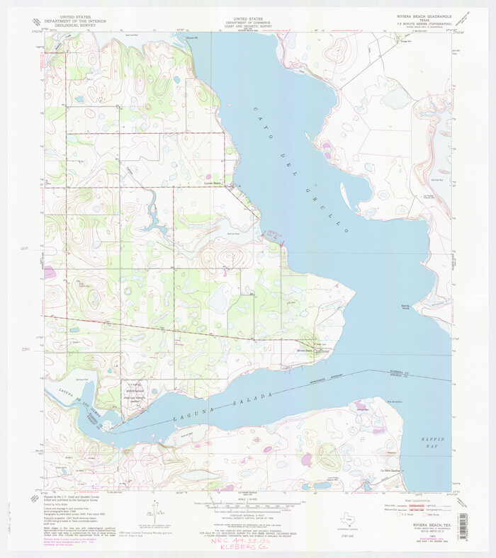
Kleberg County NRC Article 33.136 Location Key Sheet
1975
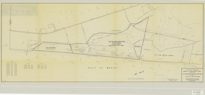
Nueces County Sketch File 56
1973

Aransas Pass to Baffin Bay
1973

Aransas Pass to Baffin Bay
1971

Aransas Pass to Baffin Bay
1966

Aransas Pass to Baffin Bay
1966
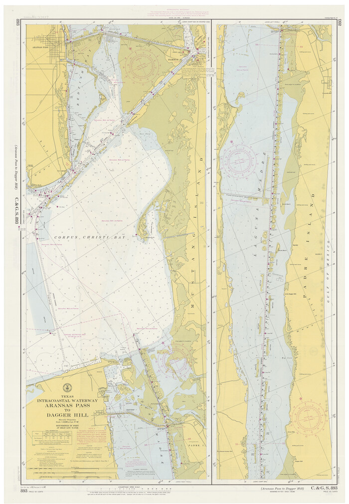
Texas Intracoastal Waterway, Aransas Bay to Aransas Pass
1962

Padre Island Under Six Flags
1962
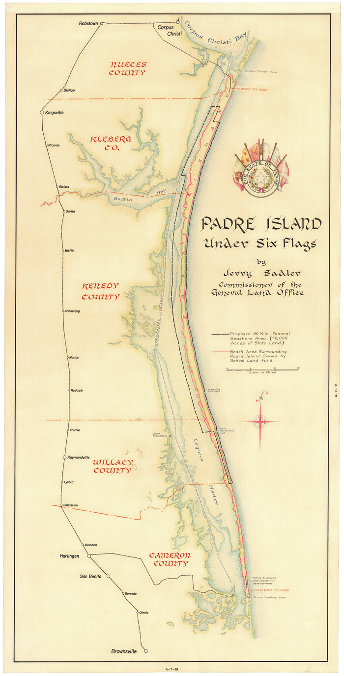
Padre Island Under Six Flags
1962

Aransas Pass to Baffin Bay
1961
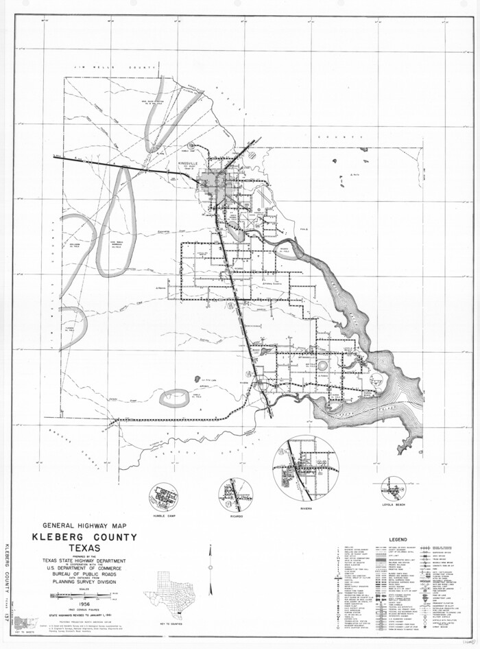
General Highway Map, Kleberg County, Texas
1961

General Highway Map, Kleberg County, Texas
1961

Texas Intracoastal Waterway - Laguna Madre - Dagger Hill to Potrero Grande
1960
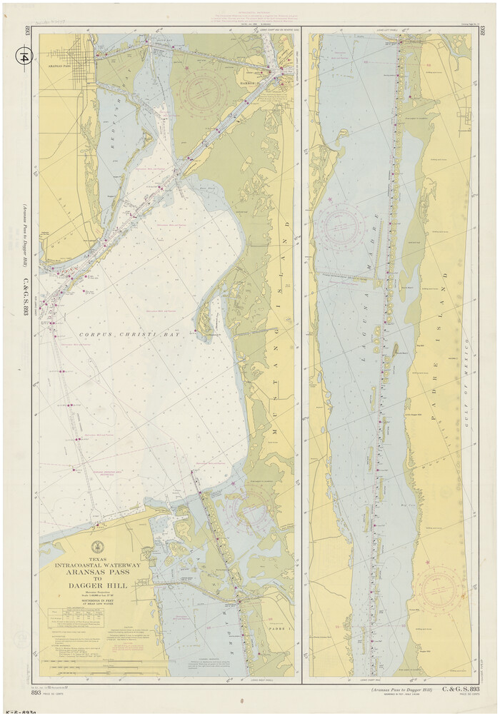
Texas Intracoastal Waterway, Aransas Bay to Aransas Pass
1957

Kleberg County Aerial Photograph Index Sheet 1
1956
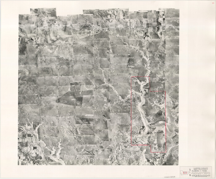
Kleberg County Aerial Photograph Index Sheet 2
1956
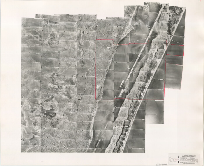
Kleberg County Aerial Photograph Index Sheet 3
1956

Kleberg County Aerial Photograph Index Sheet 4
1956

Land grants from the state of Tamaulipas in the trans-Nueces
2009
-
Size
11.0 x 8.5 inches
-
Map/Doc
94040
-
Creation Date
2009

Kleberg County NRC Article 33.136 Sketch 1
2000
-
Size
18.5 x 23.6 inches
-
Map/Doc
6555
-
Creation Date
2000

Kleberg County Rolled Sketch 13
1995
-
Size
39.3 x 33.8 inches
-
Map/Doc
6554
-
Creation Date
1995
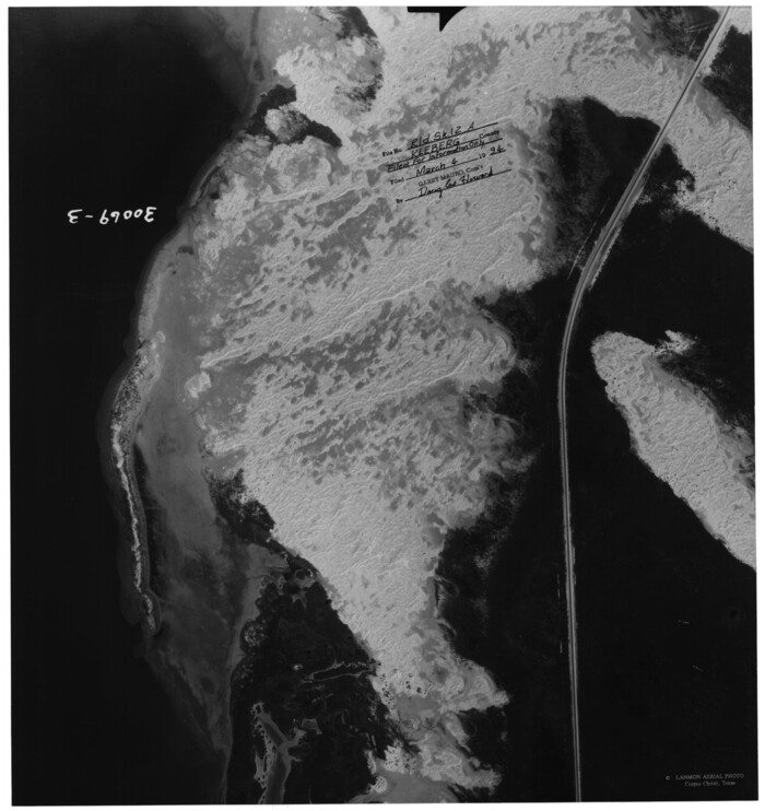
Kleberg County Rolled Sketch 12A-F
1994
Aerial photographs and correspondence relating to Kleberg County Rolled Sketch 12 (6553).
-
Map/Doc
61769
-
Creation Date
1994

Kleberg County Rolled Sketch 12
1994
-
Size
25.8 x 36.6 inches
-
Map/Doc
6553
-
Creation Date
1994

Kleberg County Sketch File 1
1994
-
Size
8.8 x 11.3 inches
-
Map/Doc
29192
-
Creation Date
1994

Aransas Pass to Baffin Bay
1992
-
Size
45.0 x 36.0 inches
-
Map/Doc
73423
-
Creation Date
1992

Aransas Pass to Baffin Bay
1988
-
Size
48.7 x 36.0 inches
-
Map/Doc
73422
-
Creation Date
1988

Aransas Pass to Baffin Bay
1986
-
Size
44.7 x 35.7 inches
-
Map/Doc
73421
-
Creation Date
1986

Aransas Pass to Baffin Bay
1981
-
Size
43.0 x 35.0 inches
-
Map/Doc
73420
-
Creation Date
1981

Aransas Pass to Baffin Bay
1976
-
Size
41.9 x 35.3 inches
-
Map/Doc
73419
-
Creation Date
1976

Texas Gulf Coast, from the Sabine River to the Rio Grande as Subdivided for Mineral Development; Aransas, Nueces, Kleberg, Kenedy, Willacy, and Cameron Counties
1976
-
Size
118.0 x 43.0 inches
-
Map/Doc
1940
-
Creation Date
1976

Kleberg County NRC Article 33.136 Location Key Sheet
1975
-
Size
27.0 x 24.0 inches
-
Map/Doc
77051
-
Creation Date
1975

Nueces County Sketch File 56
1973
-
Size
10.1 x 9.3 inches
-
Map/Doc
32874
-
Creation Date
1973

Aransas Pass to Baffin Bay
1973
-
Size
42.0 x 35.1 inches
-
Map/Doc
73418
-
Creation Date
1973

Aransas Pass to Baffin Bay
1971
-
Size
42.3 x 35.2 inches
-
Map/Doc
73417
-
Creation Date
1971

Aransas Pass to Baffin Bay
1966
-
Size
42.3 x 35.0 inches
-
Map/Doc
73415
-
Creation Date
1966

Aransas Pass to Baffin Bay
1966
-
Size
42.3 x 34.9 inches
-
Map/Doc
73416
-
Creation Date
1966

Texas Intracoastal Waterway, Aransas Bay to Aransas Pass
1962
-
Size
38.7 x 26.8 inches
-
Map/Doc
73439
-
Creation Date
1962

Padre Island Under Six Flags
1962
-
Size
63.7 x 36.9 inches
-
Map/Doc
3126
-
Creation Date
1962

Padre Island Under Six Flags
1962
-
Size
59.3 x 30.3 inches
-
Map/Doc
3123
-
Creation Date
1962

Aransas Pass to Baffin Bay
1961
-
Size
42.1 x 35.4 inches
-
Map/Doc
73414
-
Creation Date
1961

General Highway Map, Kleberg County, Texas
1961
-
Size
24.8 x 18.3 inches
-
Map/Doc
79558
-
Creation Date
1961

General Highway Map, Kleberg County, Texas
1961
-
Size
24.6 x 18.3 inches
-
Map/Doc
79559
-
Creation Date
1961

Texas Intracoastal Waterway - Laguna Madre - Dagger Hill to Potrero Grande
1960
-
Size
38.7 x 27.2 inches
-
Map/Doc
73510
-
Creation Date
1960

Texas Intracoastal Waterway, Aransas Bay to Aransas Pass
1957
-
Size
38.9 x 27.6 inches
-
Map/Doc
73437
-
Creation Date
1957

Kleberg County Aerial Photograph Index Sheet 1
1956
-
Size
19.6 x 23.6 inches
-
Map/Doc
83718
-
Creation Date
1956

Kleberg County Aerial Photograph Index Sheet 2
1956
-
Size
19.4 x 23.4 inches
-
Map/Doc
83719
-
Creation Date
1956

Kleberg County Aerial Photograph Index Sheet 3
1956
-
Size
19.1 x 23.4 inches
-
Map/Doc
83720
-
Creation Date
1956

Kleberg County Aerial Photograph Index Sheet 4
1956
-
Size
19.3 x 23.3 inches
-
Map/Doc
83721
-
Creation Date
1956