183 results

Andrews County Sketch File 3
10317, Andrews County Sketch File 3, General Map Collection
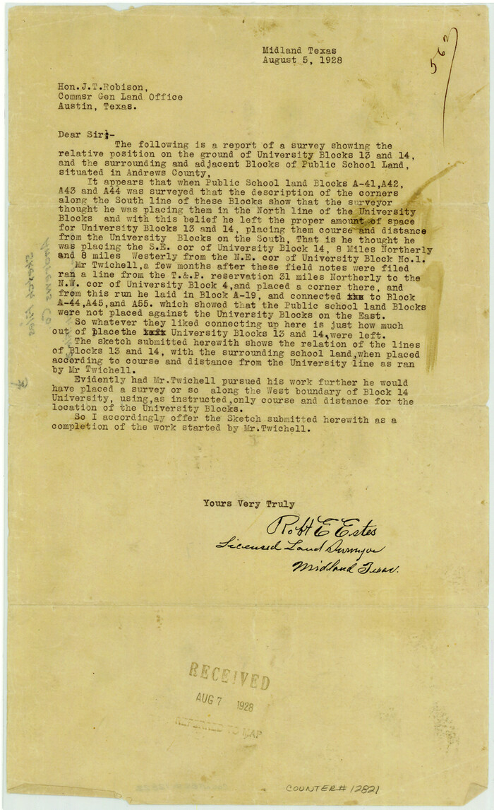
Print $46.00 - Digital $50.00

Andrews County Sketch File 3

1928
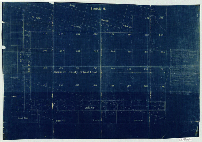
Size: 33.0 x 36.6 inches
10317
Andrews County Sketch File 2
10807, Andrews County Sketch File 2, General Map Collection
Print $40.00 - Digital $50.00

Andrews County Sketch File 2

1902

Size: 20.7 x 29.5 inches
10807
Andrews County Sketch File 4
10809, Andrews County Sketch File 4, General Map Collection
Print $40.00 - Digital $50.00

Andrews County Sketch File 4

1930

Size: 18.5 x 24.2 inches
10809
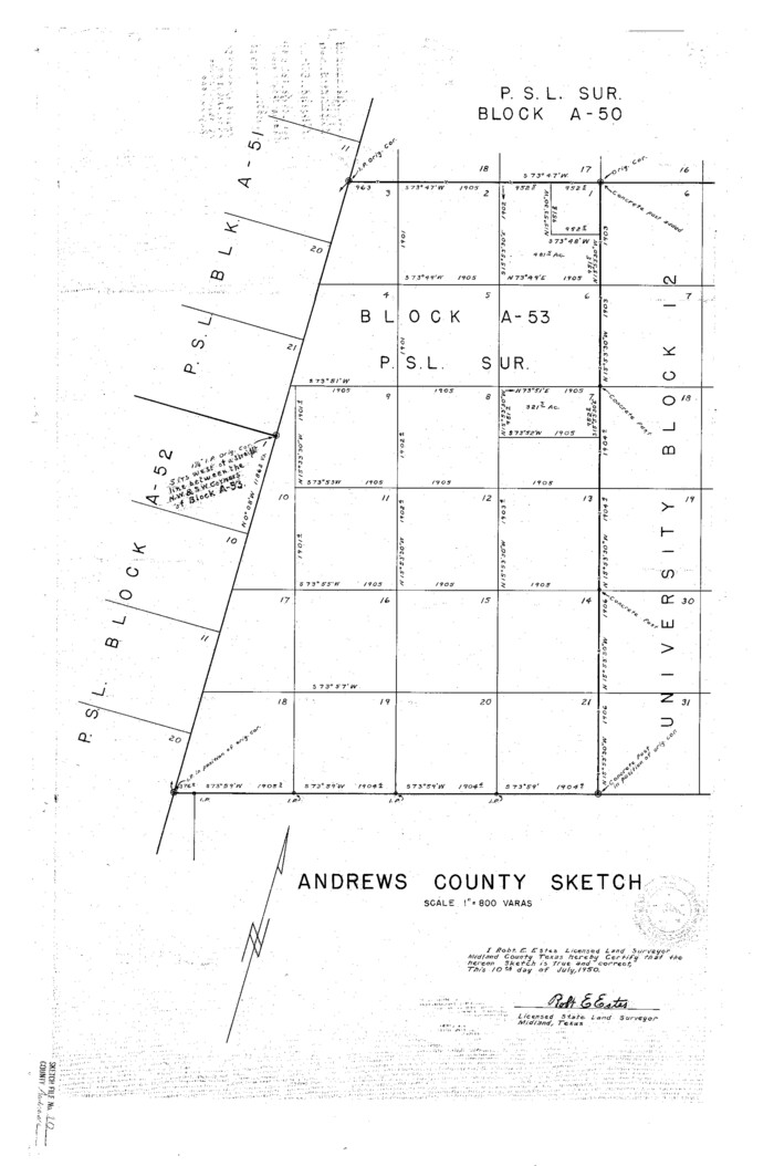
Andrews County Sketch File 10
10810, Andrews County Sketch File 10, General Map Collection
Print $40.00 - Digital $50.00

Andrews County Sketch File 10

1950

Size: 27.4 x 18.2 inches
10810
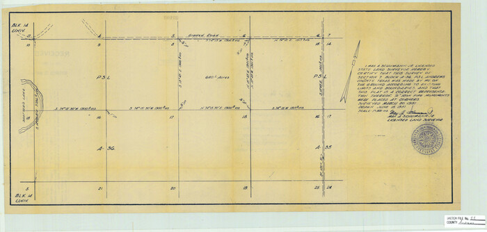
Andrews County Sketch File 11
10811, Andrews County Sketch File 11, General Map Collection
Print $40.00 - Digital $50.00

Andrews County Sketch File 11

1951

Size: 12.3 x 25.8 inches
10811
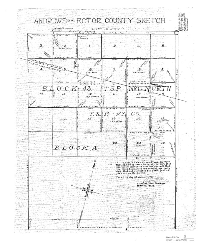
Ector County Sketch File 2
11416, Ector County Sketch File 2, General Map Collection
Print $3.00 - Digital $50.00

Ector County Sketch File 2

1933

Size: 19.4 x 16.1 inches
11416
Gaines County Sketch File 2M
11522, Gaines County Sketch File 2M, General Map Collection
Print $20.00 - Digital $50.00

Gaines County Sketch File 2M

1902

Size: 20.8 x 29.4 inches
11522
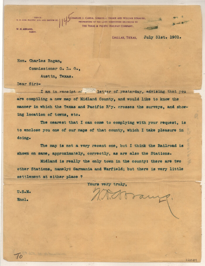
Midland County Sketch File D
12089, Midland County Sketch File D, General Map Collection
Print $42.00 - Digital $50.00

Midland County Sketch File D

1901

Size: 32.6 x 18.4 inches
12089
Andrews County Sketch File 1
12818, Andrews County Sketch File 1, General Map Collection
Print $6.00 - Digital $50.00

Andrews County Sketch File 1

Size: 9.0 x 13.6 inches
12818
Andrews County Sketch File 5
12823, Andrews County Sketch File 5, General Map Collection
Print $4.00 - Digital $50.00

Andrews County Sketch File 5

1936

Size: 11.8 x 8.8 inches
12823
Andrews County Sketch File 6
12825, Andrews County Sketch File 6, General Map Collection
Print $9.00 - Digital $50.00

Andrews County Sketch File 6

1942

Size: 9.6 x 10.6 inches
12825
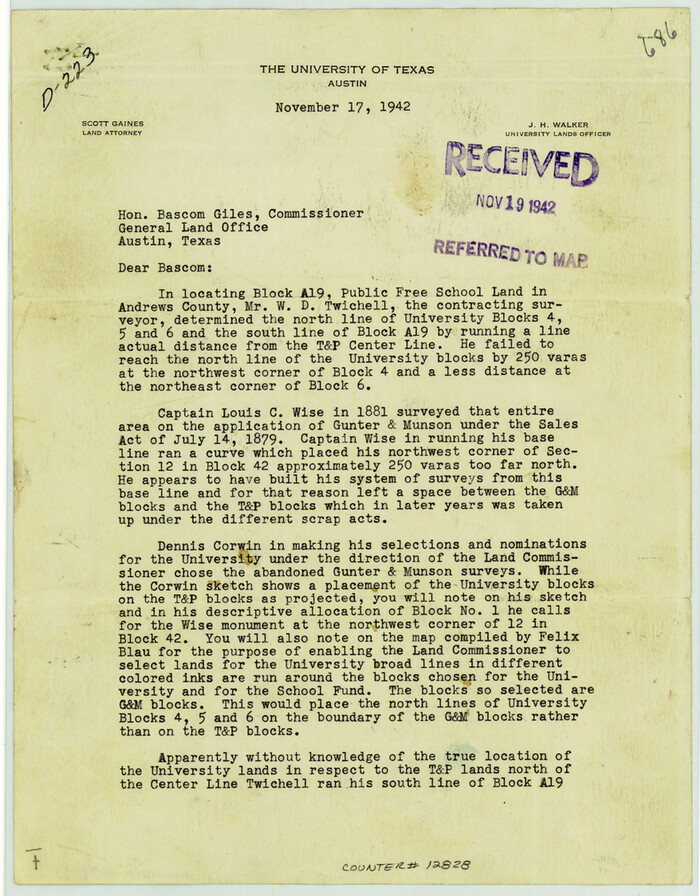
Andrews County Sketch File 7
12828, Andrews County Sketch File 7, General Map Collection
Print $6.00 - Digital $50.00

Andrews County Sketch File 7

1942

Size: 11.2 x 8.8 inches
12828
Andrews County Sketch File 8
12831, Andrews County Sketch File 8, General Map Collection
Print $36.00 - Digital $50.00

Andrews County Sketch File 8

1943

Size: 11.2 x 8.9 inches
12831
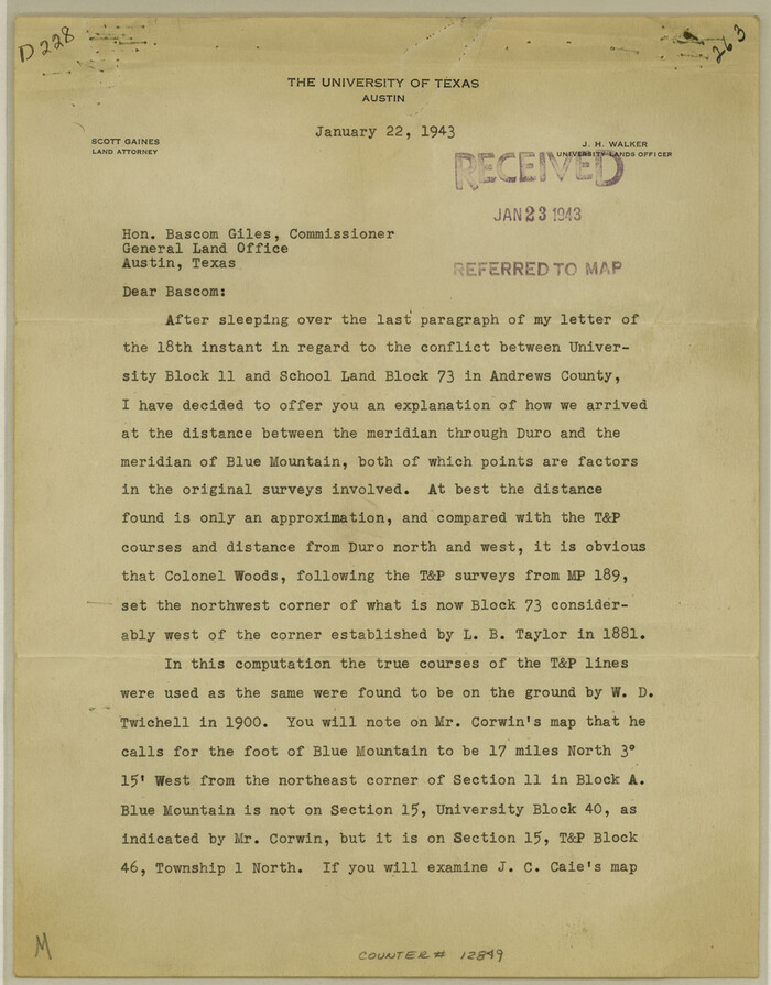
Andrews County Sketch File 8a
12849, Andrews County Sketch File 8a, General Map Collection
Print $8.00 - Digital $50.00

Andrews County Sketch File 8a

1943

Size: 11.3 x 8.8 inches
12849
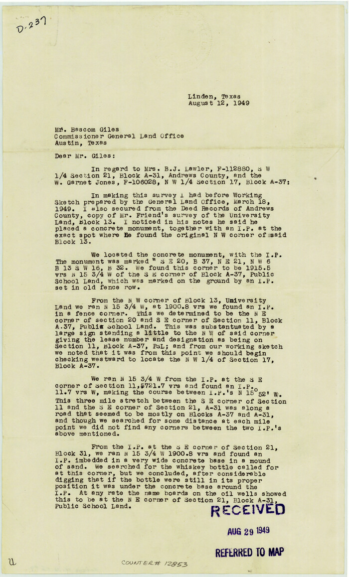
Andrews County Sketch File 9
12853, Andrews County Sketch File 9, General Map Collection
Print $8.00 - Digital $50.00

Andrews County Sketch File 9

1949

Size: 14.2 x 8.6 inches
12853
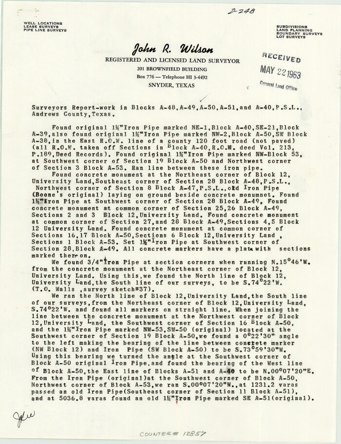
Andrews County Sketch File 12
12857, Andrews County Sketch File 12, General Map Collection
Print $8.00 - Digital $50.00

Andrews County Sketch File 12

1963

Size: 11.1 x 8.5 inches
12857
Andrews County Sketch File 13
12863, Andrews County Sketch File 13, General Map Collection
Print $12.00 - Digital $50.00

Andrews County Sketch File 13

1979

Size: 14.2 x 8.7 inches
12863
Andrews County Sketch File 14
12872, Andrews County Sketch File 14, General Map Collection
Print $48.00 - Digital $50.00

Andrews County Sketch File 14

1887

Size: 8.0 x 8.4 inches
12872
Andrews County Sketch File 15
12887, Andrews County Sketch File 15, General Map Collection
Print $24.00 - Digital $50.00

Andrews County Sketch File 15

Size: 11.2 x 8.9 inches
12887
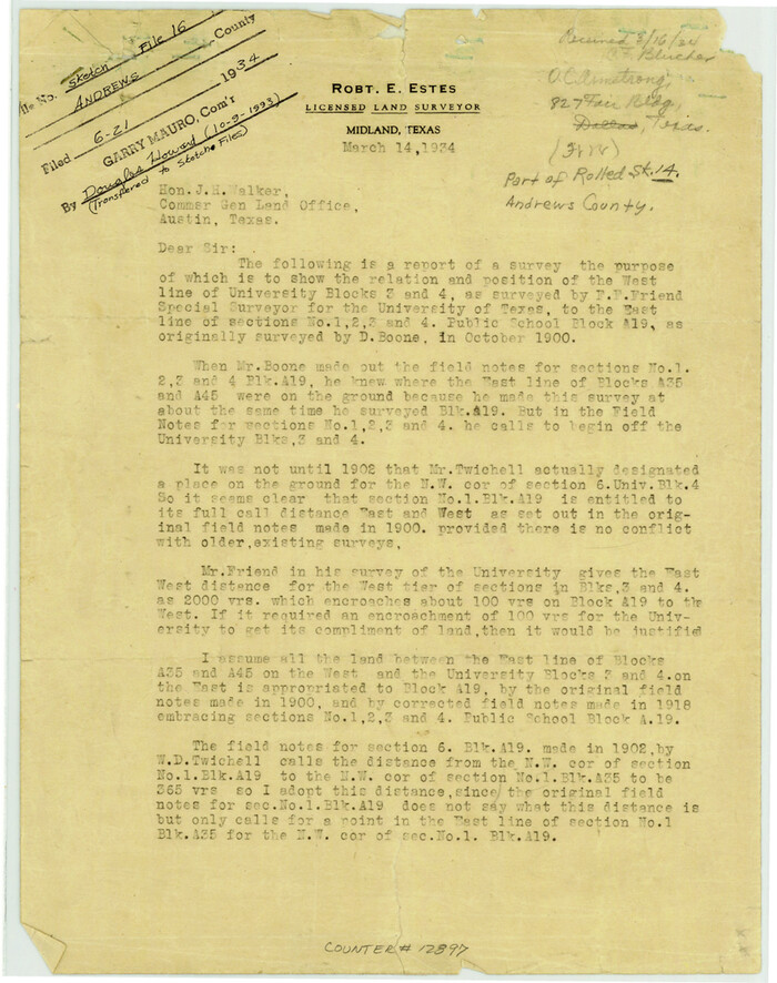
Andrews County Sketch File 16
12897, Andrews County Sketch File 16, General Map Collection
Print $12.00 - Digital $50.00

Andrews County Sketch File 16

1934

Size: 11.2 x 8.8 inches
12897
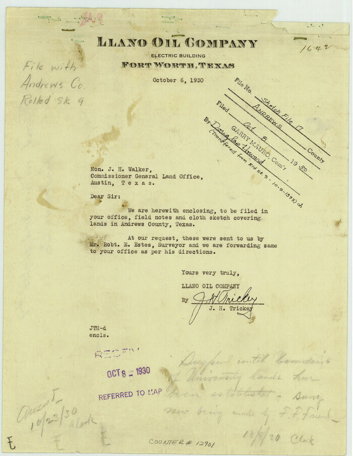
Andrews County Sketch File 17
12901, Andrews County Sketch File 17, General Map Collection
Print $8.00 - Digital $50.00

Andrews County Sketch File 17

Size: 11.1 x 8.6 inches
12901
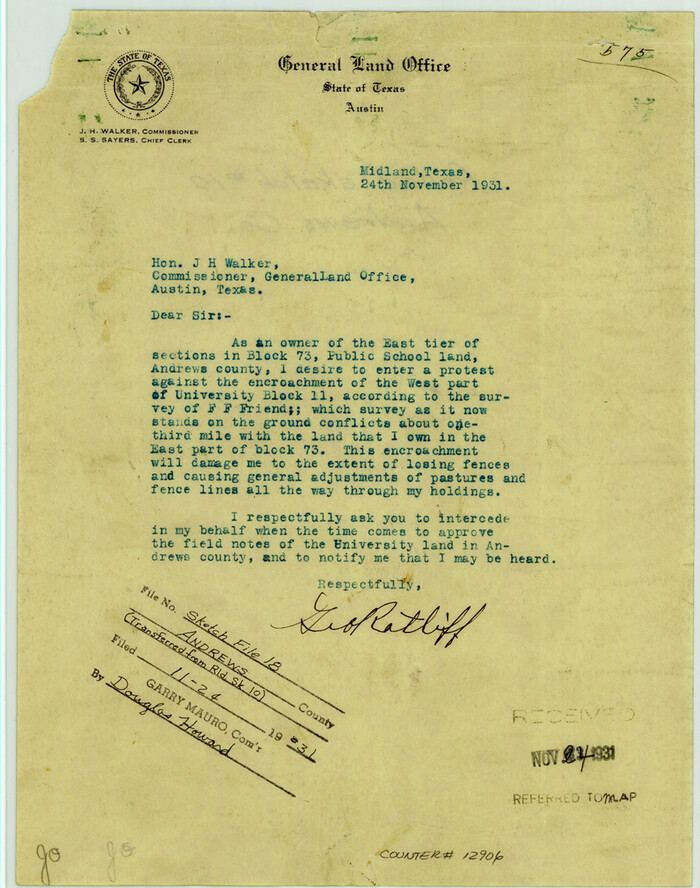
Andrews County Sketch File 18
12907, Andrews County Sketch File 18, General Map Collection
Print $12.00 - Digital $50.00

Andrews County Sketch File 18

Size: 11.3 x 8.9 inches
12907
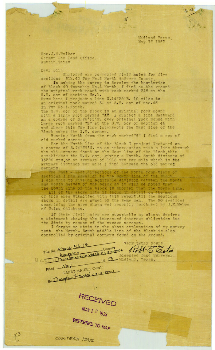
Andrews County Sketch File 19
12912, Andrews County Sketch File 19, General Map Collection
Print $12.00 - Digital $50.00

Andrews County Sketch File 19

Size: 14.3 x 8.8 inches
12912
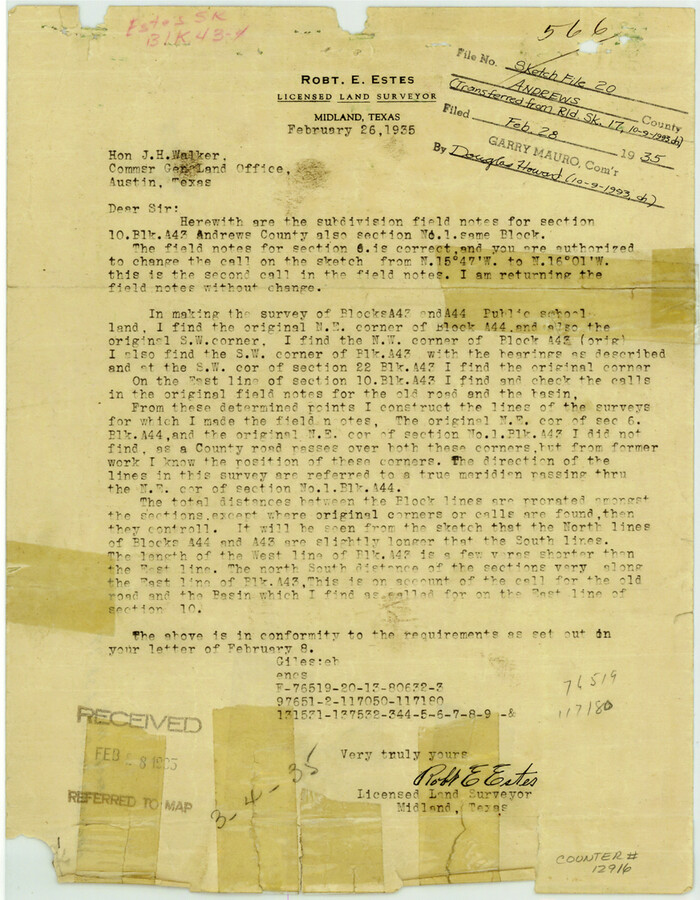
Andrews County Sketch File 20
12916, Andrews County Sketch File 20, General Map Collection
Print $6.00 - Digital $50.00

Andrews County Sketch File 20

Size: 11.2 x 8.7 inches
12916
Andrews County
1769-1.tif
Print $40.00 - Digital $50.00

Andrews County

1951

Size: 42.7 x 54.5 inches
1769
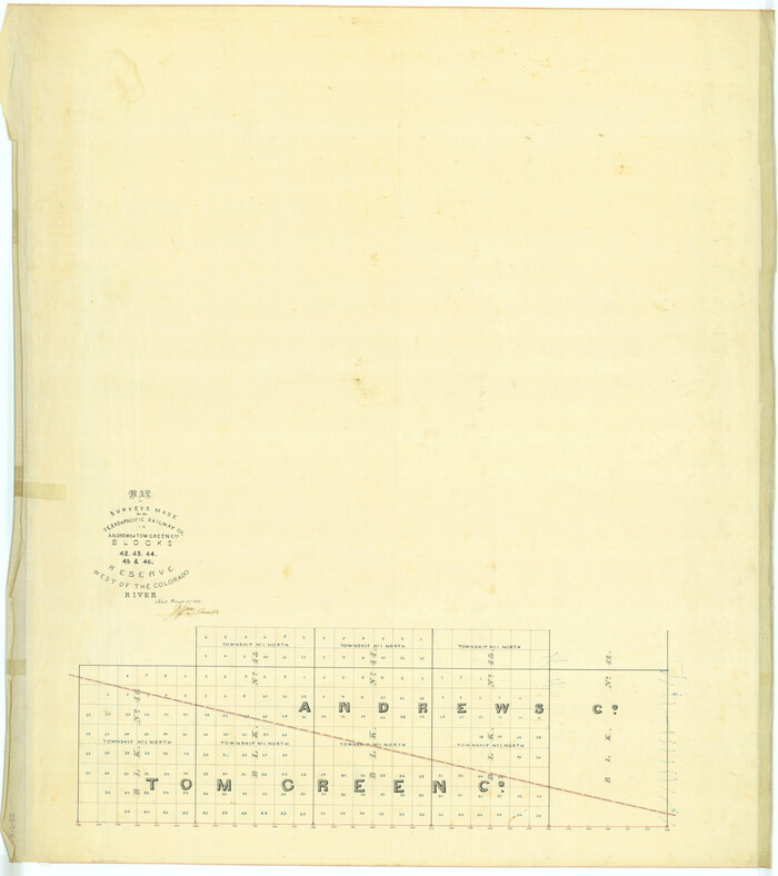
Map of surveys made for the Texas & Pacific Railway Co. in Andrews & Tom Green Cos. Blocks 42, 43, 44, 45 & 46 reserve west of the Colorado River
2225.tif
Print $20.00 - Digital $50.00

Map of surveys made for the Texas & Pacific Railway Co. in Andrews & Tom Green Cos. Blocks 42, 43, 44, 45 & 46 reserve west of the Colorado River

1876
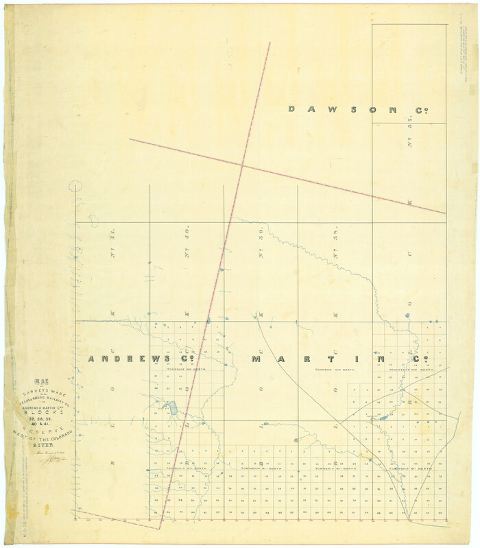
Size: 42.3 x 37.6 inches
2225
Map of Surveys Made for the T&PRR in Andrews & Martin Counties, Blocks 37, 38, 39, 40 & 41, Reserve West of the Colorado River
2229.tif
Print $20.00 - Digital $50.00

Map of Surveys Made for the T&PRR in Andrews & Martin Counties, Blocks 37, 38, 39, 40 & 41, Reserve West of the Colorado River

1876
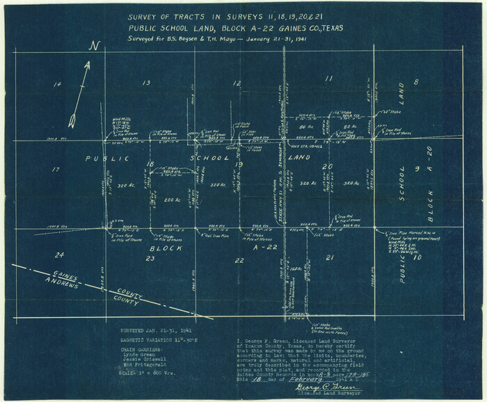
Size: 42.0 x 36.8 inches
2229
Gaines County Sketch File 8
23191, Gaines County Sketch File 8, General Map Collection
Print $40.00 - Digital $50.00

Gaines County Sketch File 8

1941

Size: 14.2 x 17.2 inches
23191
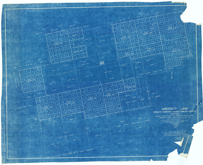
University Land, Winkler-Andrews-Gaines-Dawson-Martin Counties
2419.tif
Print $40.00 - Digital $50.00

University Land, Winkler-Andrews-Gaines-Dawson-Martin Counties

1931

Size: 42.3 x 52.1 inches
2419
Martin County Sketch File 1
30626, Martin County Sketch File 1, General Map Collection
Print $66.00 - Digital $50.00

Martin County Sketch File 1

Size: 19.3 x 8.9 inches
30626
Andrews County Sketch File 3
10317, Andrews County Sketch File 3, General Map Collection
Print $46.00 - Digital $50.00

Andrews County Sketch File 3

1928

  • Size

    33.0 x 36.6 inches

  • Map/Doc

    10317

  • Creation Date

    1928

Andrews County Sketch File 2
10807, Andrews County Sketch File 2, General Map Collection
Print $40.00 - Digital $50.00

Andrews County Sketch File 2

1902

  • Size

    20.7 x 29.5 inches

  • Map/Doc

    10807

  • Creation Date

    1902

Andrews County Sketch File 4
10809, Andrews County Sketch File 4, General Map Collection
Print $40.00 - Digital $50.00

Andrews County Sketch File 4

1930

  • Size

    18.5 x 24.2 inches

  • Map/Doc

    10809

  • Creation Date

    1930

Andrews County Sketch File 10
10810, Andrews County Sketch File 10, General Map Collection
Print $40.00 - Digital $50.00

Andrews County Sketch File 10

1950

  • Size

    27.4 x 18.2 inches

  • Map/Doc

    10810

  • Creation Date

    1950

Andrews County Sketch File 11
10811, Andrews County Sketch File 11, General Map Collection
Print $40.00 - Digital $50.00

Andrews County Sketch File 11

1951

  • Size

    12.3 x 25.8 inches

  • Map/Doc

    10811

  • Creation Date

    1951

Ector County Sketch File 2
11416, Ector County Sketch File 2, General Map Collection
Print $3.00 - Digital $50.00

Ector County Sketch File 2

1933

  • Size

    19.4 x 16.1 inches

  • Map/Doc

    11416

  • Creation Date

    1933

Gaines County Sketch File 2M
11522, Gaines County Sketch File 2M, General Map Collection
Print $20.00 - Digital $50.00

Gaines County Sketch File 2M

1902

  • Size

    20.8 x 29.4 inches

  • Map/Doc

    11522

  • Creation Date

    1902

Midland County Sketch File D
12089, Midland County Sketch File D, General Map Collection
Print $42.00 - Digital $50.00

Midland County Sketch File D

1901

  • Size

    32.6 x 18.4 inches

  • Map/Doc

    12089

  • Creation Date

    1901

Andrews County Sketch File 1
12818, Andrews County Sketch File 1, General Map Collection
Print $6.00 - Digital $50.00

Andrews County Sketch File 1

  • Size

    9.0 x 13.6 inches

  • Map/Doc

    12818

Andrews County Sketch File 5
12823, Andrews County Sketch File 5, General Map Collection
Print $4.00 - Digital $50.00

Andrews County Sketch File 5

1936

  • Size

    11.8 x 8.8 inches

  • Map/Doc

    12823

  • Creation Date

    1936

Andrews County Sketch File 6
12825, Andrews County Sketch File 6, General Map Collection
Print $9.00 - Digital $50.00

Andrews County Sketch File 6

1942

  • Size

    9.6 x 10.6 inches

  • Map/Doc

    12825

  • Creation Date

    1942

Andrews County Sketch File 7
12828, Andrews County Sketch File 7, General Map Collection
Print $6.00 - Digital $50.00

Andrews County Sketch File 7

1942

  • Size

    11.2 x 8.8 inches

  • Map/Doc

    12828

  • Creation Date

    1942

Andrews County Sketch File 8
12831, Andrews County Sketch File 8, General Map Collection
Print $36.00 - Digital $50.00

Andrews County Sketch File 8

1943

  • Size

    11.2 x 8.9 inches

  • Map/Doc

    12831

  • Creation Date

    1943

Andrews County Sketch File 8a
12849, Andrews County Sketch File 8a, General Map Collection
Print $8.00 - Digital $50.00

Andrews County Sketch File 8a

1943

  • Size

    11.3 x 8.8 inches

  • Map/Doc

    12849

  • Creation Date

    1943

Andrews County Sketch File 9
12853, Andrews County Sketch File 9, General Map Collection
Print $8.00 - Digital $50.00

Andrews County Sketch File 9

1949

  • Size

    14.2 x 8.6 inches

  • Map/Doc

    12853

  • Creation Date

    1949

Andrews County Sketch File 12
12857, Andrews County Sketch File 12, General Map Collection
Print $8.00 - Digital $50.00

Andrews County Sketch File 12

1963

  • Size

    11.1 x 8.5 inches

  • Map/Doc

    12857

  • Creation Date

    1963

Andrews County Sketch File 13
12863, Andrews County Sketch File 13, General Map Collection
Print $12.00 - Digital $50.00

Andrews County Sketch File 13

1979

  • Size

    14.2 x 8.7 inches

  • Map/Doc

    12863

  • Creation Date

    1979

Andrews County Sketch File 14
12872, Andrews County Sketch File 14, General Map Collection
Print $48.00 - Digital $50.00

Andrews County Sketch File 14

1887

  • Size

    8.0 x 8.4 inches

  • Map/Doc

    12872

  • Creation Date

    1887

Andrews County Sketch File 15
12887, Andrews County Sketch File 15, General Map Collection
Print $24.00 - Digital $50.00

Andrews County Sketch File 15

  • Size

    11.2 x 8.9 inches

  • Map/Doc

    12887

Andrews County Sketch File 16
12897, Andrews County Sketch File 16, General Map Collection
Print $12.00 - Digital $50.00

Andrews County Sketch File 16

1934

  • Size

    11.2 x 8.8 inches

  • Map/Doc

    12897

  • Creation Date

    1934

Andrews County Sketch File 17
12901, Andrews County Sketch File 17, General Map Collection
Print $8.00 - Digital $50.00

Andrews County Sketch File 17

  • Size

    11.1 x 8.6 inches

  • Map/Doc

    12901

Andrews County Sketch File 18
12907, Andrews County Sketch File 18, General Map Collection
Print $12.00 - Digital $50.00

Andrews County Sketch File 18

  • Size

    11.3 x 8.9 inches

  • Map/Doc

    12907

Andrews County Sketch File 19
12912, Andrews County Sketch File 19, General Map Collection
Print $12.00 - Digital $50.00

Andrews County Sketch File 19

  • Size

    14.3 x 8.8 inches

  • Map/Doc

    12912

Andrews County Sketch File 20
12916, Andrews County Sketch File 20, General Map Collection
Print $6.00 - Digital $50.00

Andrews County Sketch File 20

  • Size

    11.2 x 8.7 inches

  • Map/Doc

    12916

Andrews County
1769, Andrews County, General Map Collection
Print $40.00 - Digital $50.00

Andrews County

1951

  • Size

    42.7 x 54.5 inches

  • Map/Doc

    1769

  • Creation Date

    1951

Map of surveys made for the Texas & Pacific Railway Co. in Andrews & Tom Green Cos. Blocks 42, 43, 44, 45 & 46 reserve west of the Colorado River
2225, Map of surveys made for the Texas & Pacific Railway Co. in Andrews & Tom Green Cos. Blocks 42, 43, 44, 45 & 46 reserve west of the Colorado River, General Map Collection
Print $20.00 - Digital $50.00

Map of surveys made for the Texas & Pacific Railway Co. in Andrews & Tom Green Cos. Blocks 42, 43, 44, 45 & 46 reserve west of the Colorado River

1876

  • Size

    42.3 x 37.6 inches

  • Map/Doc

    2225

  • Creation Date

    1876

Map of Surveys Made for the T&PRR in Andrews & Martin Counties, Blocks 37, 38, 39, 40 & 41, Reserve West of the Colorado River
2229, Map of Surveys Made for the T&PRR in Andrews & Martin Counties, Blocks 37, 38, 39, 40 & 41, Reserve West of the Colorado River, General Map Collection
Print $20.00 - Digital $50.00

Map of Surveys Made for the T&PRR in Andrews & Martin Counties, Blocks 37, 38, 39, 40 & 41, Reserve West of the Colorado River

1876

  • Size

    42.0 x 36.8 inches

  • Map/Doc

    2229

  • Creation Date

    1876

Gaines County Sketch File 8
23191, Gaines County Sketch File 8, General Map Collection
Print $40.00 - Digital $50.00

Gaines County Sketch File 8

1941

  • Size

    14.2 x 17.2 inches

  • Map/Doc

    23191

  • Creation Date

    1941

University Land, Winkler-Andrews-Gaines-Dawson-Martin Counties
2419, University Land, Winkler-Andrews-Gaines-Dawson-Martin Counties, General Map Collection
Print $40.00 - Digital $50.00

University Land, Winkler-Andrews-Gaines-Dawson-Martin Counties

1931

  • Size

    42.3 x 52.1 inches

  • Map/Doc

    2419

  • Creation Date

    1931

Martin County Sketch File 1
30626, Martin County Sketch File 1, General Map Collection
Print $66.00 - Digital $50.00

Martin County Sketch File 1

  • Size

    19.3 x 8.9 inches

  • Map/Doc

    30626