183 results

Andrews County
1769-1.tif
Print $40.00 - Digital $50.00

Andrews County

1951

Size: 42.7 x 54.5 inches
1769
Andrews County
3230-GC.tif
Print $20.00 - Digital $50.00

Andrews County

1887

Size: 22.8 x 25.8 inches
3230
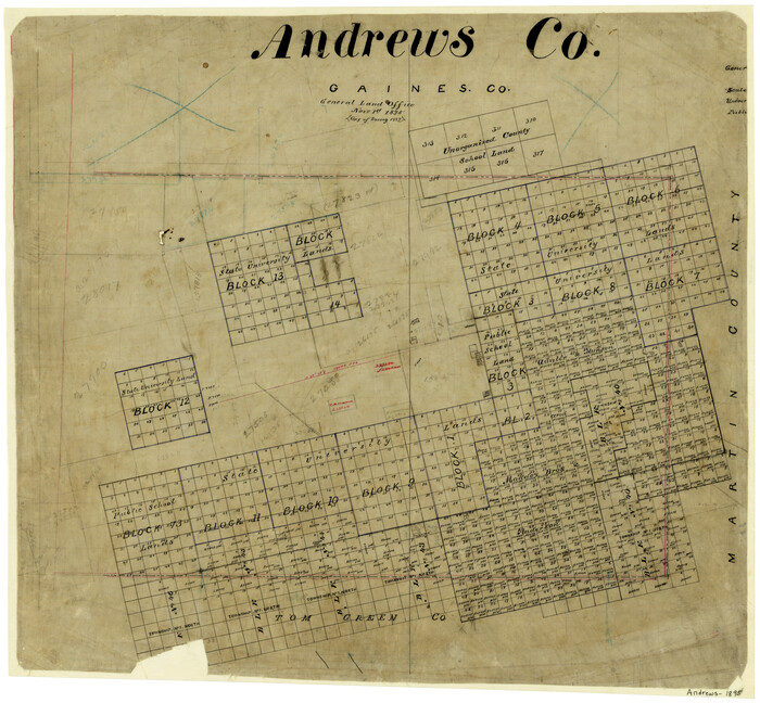
Andrews County
3231-1.tif
Print $20.00 - Digital $50.00

Andrews County

1895

Size: 24.9 x 26.4 inches
3231
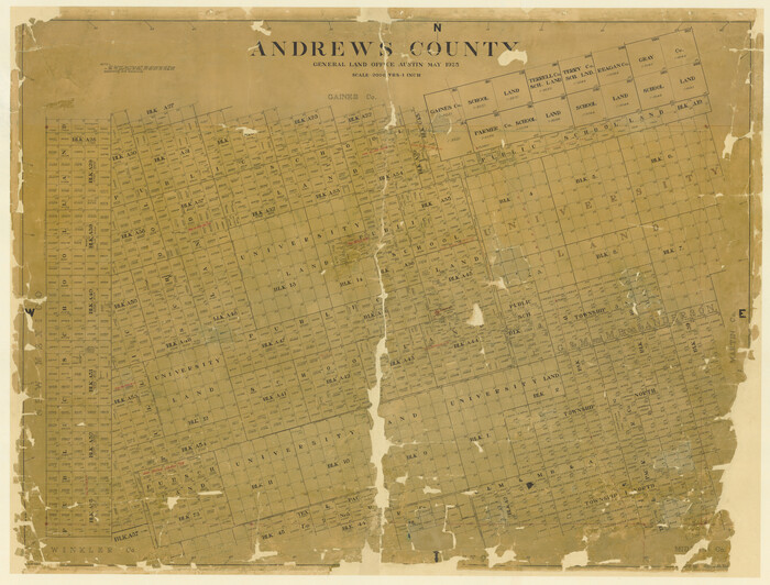
Andrews County
4778.tif
Print $40.00 - Digital $50.00

Andrews County

1925

Size: 42.3 x 55.4 inches
4778
Andrews County
4779.tif
Print $40.00 - Digital $50.00

Andrews County

1901

Size: 42.5 x 55.2 inches
4779
Andrews County
4872.tif
Print $40.00 - Digital $50.00

Andrews County

1901

Size: 35.9 x 49.7 inches
4872
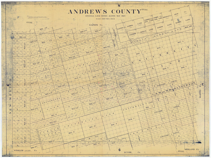
Andrews County
66703-GC.tif
Print $40.00 - Digital $50.00

Andrews County

1925

Size: 42.6 x 57.1 inches
66703
Andrews County
73067.tif
Print $40.00 - Digital $50.00

Andrews County

1951

Size: 42.7 x 54.4 inches
73067
Andrews County
77199.tif
Print $40.00 - Digital $50.00

Andrews County

1951

Size: 43.0 x 54.4 inches
77199
Andrews County
89866-1.tif
Print $40.00 - Digital $50.00

Andrews County

1925

Size: 56.5 x 42.8 inches
89866
Andrews County
95416.tif
Print $40.00 - Digital $50.00

Andrews County

1951

Size: 43.7 x 55.4 inches
95416
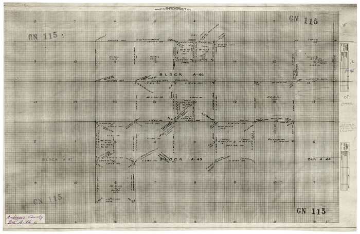
Andrews County Block A-46
92638-1.tif
Print $20.00 - Digital $50.00

Andrews County Block A-46

Size: 23.4 x 15.3 inches
92638
Andrews County Boundary File 1
49664, Andrews County Boundary File 1, General Map Collection
Print $133.00 - Digital $50.00

Andrews County Boundary File 1

Size: 14.6 x 9.0 inches
49664
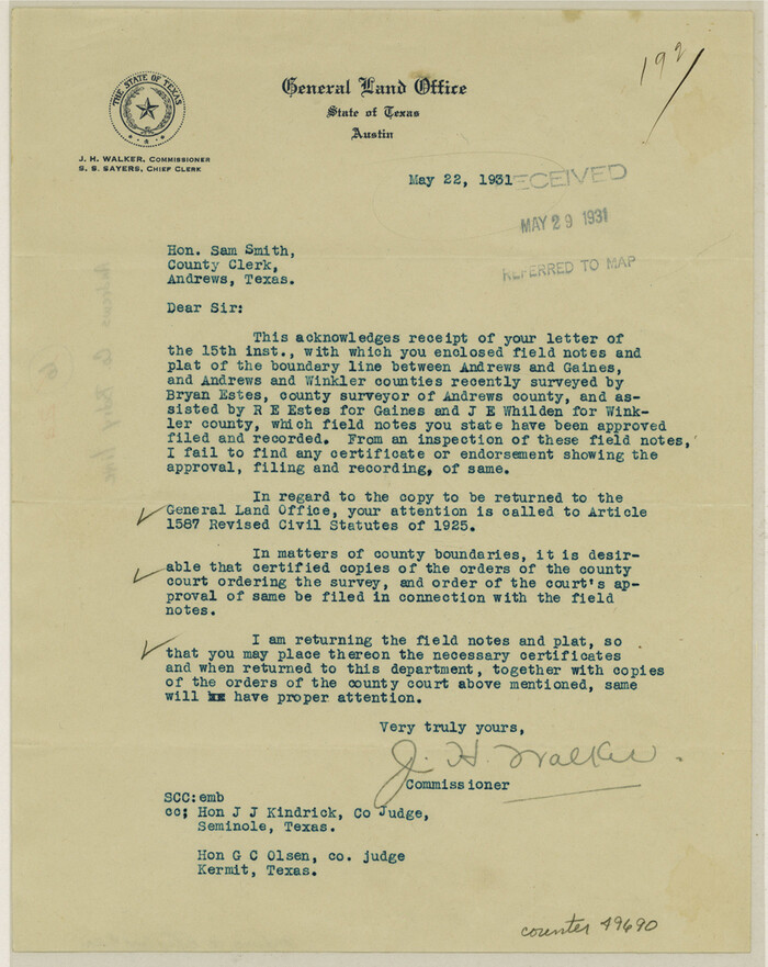
Andrews County Boundary File 2a
49690, Andrews County Boundary File 2a, General Map Collection
Print $14.00 - Digital $50.00

Andrews County Boundary File 2a

Size: 11.2 x 8.9 inches
49690
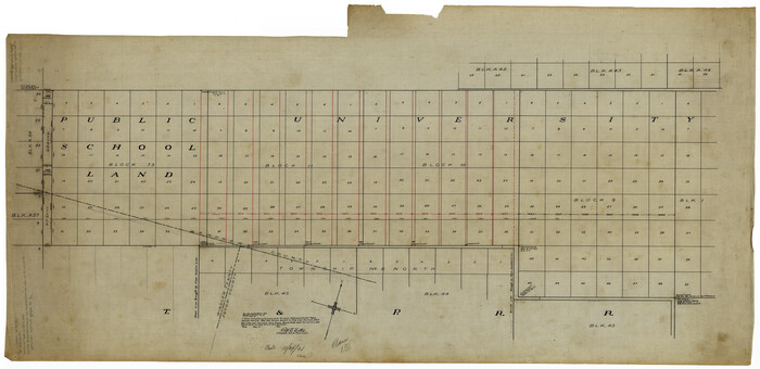
Andrews County Boundary File 2b
49698, Andrews County Boundary File 2b, General Map Collection
Print $217.00 - Digital $50.00

Andrews County Boundary File 2b

Size: 9.6 x 56.0 inches
49698
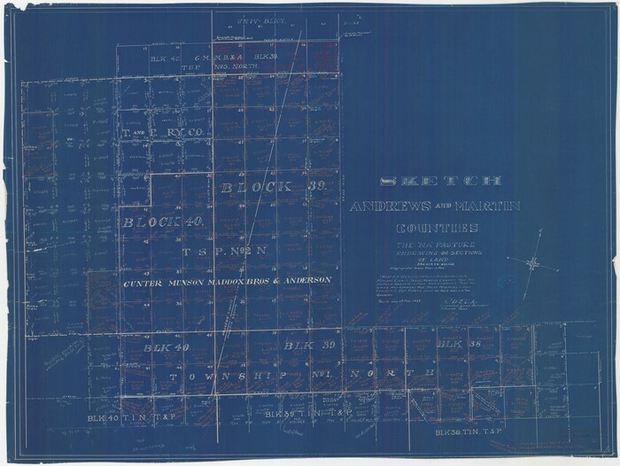
Andrews County Boundary File 2c
49709, Andrews County Boundary File 2c, General Map Collection
Print $70.00 - Digital $50.00

Andrews County Boundary File 2c

Size: 14.6 x 9.2 inches
49709
Andrews County Boundary File 3
49717, Andrews County Boundary File 3, General Map Collection
Print $8.00 - Digital $50.00

Andrews County Boundary File 3

Size: 7.2 x 8.6 inches
49717
Andrews County Boundary File 4
49721, Andrews County Boundary File 4, General Map Collection
Print $40.00 - Digital $50.00

Andrews County Boundary File 4

Size: 35.4 x 7.1 inches
49721
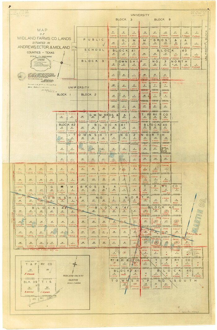
Andrews County Boundary File 5
49723, Andrews County Boundary File 5, General Map Collection
Print $40.00 - Digital $50.00

Andrews County Boundary File 5

Size: 29.8 x 19.6 inches
49723
Andrews County Rolled Sketch 10
8389-1.tif
Print $40.00 - Digital $50.00

Andrews County Rolled Sketch 10

1931

Size: 27.2 x 56.1 inches
8389
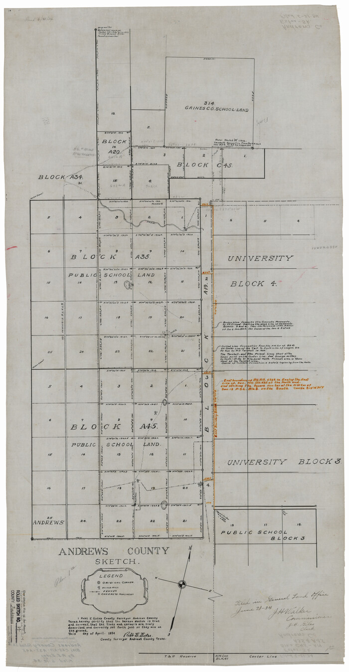
Andrews County Rolled Sketch 11
77161.tif
Print $20.00 - Digital $50.00

Andrews County Rolled Sketch 11

1933

Size: 28.0 x 37.7 inches
77161
Andrews County Rolled Sketch 11A
77162.tif
Print $20.00 - Digital $50.00

Andrews County Rolled Sketch 11A

1933

Size: 28.1 x 37.4 inches
77162
Andrews County Rolled Sketch 12
8390-1.tif
Print $40.00 - Digital $50.00

Andrews County Rolled Sketch 12

1933

Size: 58.1 x 39.1 inches
8390
Andrews County Rolled Sketch 12B
8392-1.tif
Print $20.00 - Digital $50.00

Andrews County Rolled Sketch 12B

1933

Size: 39.9 x 37.8 inches
8392
Andrews County Rolled Sketch 13
77163.tif
Print $20.00 - Digital $50.00

Andrews County Rolled Sketch 13

1934

Size: 38.3 x 26.2 inches
77163
Andrews County Rolled Sketch 14
77164.tif
Print $20.00 - Digital $50.00

Andrews County Rolled Sketch 14

1934

Size: 37.9 x 19.7 inches
77164
Andrews County Rolled Sketch 14A
77165.tif
Print $20.00 - Digital $50.00

Andrews County Rolled Sketch 14A

1934

Size: 31.2 x 23.6 inches
77165
Andrews County Rolled Sketch 15
77166.tif
Print $20.00 - Digital $50.00

Andrews County Rolled Sketch 15

1934

Size: 27.9 x 22.4 inches
77166
Andrews County Rolled Sketch 17
8393.tif
Print $40.00 - Digital $50.00

Andrews County Rolled Sketch 17

1934

Size: 30.9 x 48.9 inches
8393
Andrews County Rolled Sketch 18
8394.tif
Print $20.00 - Digital $50.00

Andrews County Rolled Sketch 18

1942

Size: 26.0 x 31.3 inches
8394
Andrews County
1769, Andrews County, General Map Collection
Print $40.00 - Digital $50.00

Andrews County

1951

  • Size

    42.7 x 54.5 inches

  • Map/Doc

    1769

  • Creation Date

    1951

Andrews County
3230, Andrews County, General Map Collection
Print $20.00 - Digital $50.00

Andrews County

1887

  • Size

    22.8 x 25.8 inches

  • Map/Doc

    3230

  • Creation Date

    1887

Andrews County
3231, Andrews County, General Map Collection
Print $20.00 - Digital $50.00

Andrews County

1895

  • Size

    24.9 x 26.4 inches

  • Map/Doc

    3231

  • Creation Date

    1895

Andrews County
4778, Andrews County, General Map Collection
Print $40.00 - Digital $50.00

Andrews County

1925

  • Size

    42.3 x 55.4 inches

  • Map/Doc

    4778

  • Creation Date

    1925

Andrews County
4779, Andrews County, General Map Collection
Print $40.00 - Digital $50.00

Andrews County

1901

  • Size

    42.5 x 55.2 inches

  • Map/Doc

    4779

  • Creation Date

    1901

Andrews County
4872, Andrews County, General Map Collection
Print $40.00 - Digital $50.00

Andrews County

1901

  • Size

    35.9 x 49.7 inches

  • Map/Doc

    4872

  • Creation Date

    1901

Andrews County
66703, Andrews County, General Map Collection
Print $40.00 - Digital $50.00

Andrews County

1925

  • Size

    42.6 x 57.1 inches

  • Map/Doc

    66703

  • Creation Date

    1925

Andrews County
73067, Andrews County , General Map Collection
Print $40.00 - Digital $50.00

Andrews County

1951

  • Size

    42.7 x 54.4 inches

  • Map/Doc

    73067

  • Creation Date

    1951

Andrews County
77199, Andrews County, General Map Collection
Print $40.00 - Digital $50.00

Andrews County

1951

  • Size

    43.0 x 54.4 inches

  • Map/Doc

    77199

  • Creation Date

    1951

Andrews County
89866, Andrews County, Twichell Survey Records
Print $40.00 - Digital $50.00

Andrews County

1925

  • Size

    56.5 x 42.8 inches

  • Map/Doc

    89866

  • Creation Date

    1925

Andrews County
95416, Andrews County, General Map Collection
Print $40.00 - Digital $50.00

Andrews County

1951

  • Size

    43.7 x 55.4 inches

  • Map/Doc

    95416

  • Creation Date

    1951

Andrews County Block A-46
92638, Andrews County Block A-46, Twichell Survey Records
Print $20.00 - Digital $50.00

Andrews County Block A-46

  • Size

    23.4 x 15.3 inches

  • Map/Doc

    92638

Andrews County Boundary File 1
49664, Andrews County Boundary File 1, General Map Collection
Print $133.00 - Digital $50.00

Andrews County Boundary File 1

  • Size

    14.6 x 9.0 inches

  • Map/Doc

    49664

Andrews County Boundary File 2a
49690, Andrews County Boundary File 2a, General Map Collection
Print $14.00 - Digital $50.00

Andrews County Boundary File 2a

  • Size

    11.2 x 8.9 inches

  • Map/Doc

    49690

Andrews County Boundary File 2b
49698, Andrews County Boundary File 2b, General Map Collection
Print $217.00 - Digital $50.00

Andrews County Boundary File 2b

  • Size

    9.6 x 56.0 inches

  • Map/Doc

    49698

Andrews County Boundary File 2c
49709, Andrews County Boundary File 2c, General Map Collection
Print $70.00 - Digital $50.00

Andrews County Boundary File 2c

  • Size

    14.6 x 9.2 inches

  • Map/Doc

    49709

Andrews County Boundary File 3
49717, Andrews County Boundary File 3, General Map Collection
Print $8.00 - Digital $50.00

Andrews County Boundary File 3

  • Size

    7.2 x 8.6 inches

  • Map/Doc

    49717

Andrews County Boundary File 4
49721, Andrews County Boundary File 4, General Map Collection
Print $40.00 - Digital $50.00

Andrews County Boundary File 4

  • Size

    35.4 x 7.1 inches

  • Map/Doc

    49721

Andrews County Boundary File 5
49723, Andrews County Boundary File 5, General Map Collection
Print $40.00 - Digital $50.00

Andrews County Boundary File 5

  • Size

    29.8 x 19.6 inches

  • Map/Doc

    49723

Andrews County Rolled Sketch 10
8389, Andrews County Rolled Sketch 10, General Map Collection
Print $40.00 - Digital $50.00

Andrews County Rolled Sketch 10

1931

  • Size

    27.2 x 56.1 inches

  • Map/Doc

    8389

  • Creation Date

    1931

Andrews County Rolled Sketch 11
77161, Andrews County Rolled Sketch 11, General Map Collection
Print $20.00 - Digital $50.00

Andrews County Rolled Sketch 11

1933

  • Size

    28.0 x 37.7 inches

  • Map/Doc

    77161

  • Creation Date

    1933

Andrews County Rolled Sketch 11A
77162, Andrews County Rolled Sketch 11A, General Map Collection
Print $20.00 - Digital $50.00

Andrews County Rolled Sketch 11A

1933

  • Size

    28.1 x 37.4 inches

  • Map/Doc

    77162

  • Creation Date

    1933

Andrews County Rolled Sketch 12
8390, Andrews County Rolled Sketch 12, General Map Collection
Print $40.00 - Digital $50.00

Andrews County Rolled Sketch 12

1933

  • Size

    58.1 x 39.1 inches

  • Map/Doc

    8390

  • Creation Date

    1933

Andrews County Rolled Sketch 12B
8392, Andrews County Rolled Sketch 12B, General Map Collection
Print $20.00 - Digital $50.00

Andrews County Rolled Sketch 12B

1933

  • Size

    39.9 x 37.8 inches

  • Map/Doc

    8392

  • Creation Date

    1933

Andrews County Rolled Sketch 13
77163, Andrews County Rolled Sketch 13, General Map Collection
Print $20.00 - Digital $50.00

Andrews County Rolled Sketch 13

1934

  • Size

    38.3 x 26.2 inches

  • Map/Doc

    77163

  • Creation Date

    1934

Andrews County Rolled Sketch 14
77164, Andrews County Rolled Sketch 14, General Map Collection
Print $20.00 - Digital $50.00

Andrews County Rolled Sketch 14

1934

  • Size

    37.9 x 19.7 inches

  • Map/Doc

    77164

  • Creation Date

    1934

Andrews County Rolled Sketch 14A
77165, Andrews County Rolled Sketch 14A, General Map Collection
Print $20.00 - Digital $50.00

Andrews County Rolled Sketch 14A

1934

  • Size

    31.2 x 23.6 inches

  • Map/Doc

    77165

  • Creation Date

    1934

Andrews County Rolled Sketch 15
77166, Andrews County Rolled Sketch 15, General Map Collection
Print $20.00 - Digital $50.00

Andrews County Rolled Sketch 15

1934

  • Size

    27.9 x 22.4 inches

  • Map/Doc

    77166

  • Creation Date

    1934

Andrews County Rolled Sketch 17
8393, Andrews County Rolled Sketch 17, General Map Collection
Print $40.00 - Digital $50.00

Andrews County Rolled Sketch 17

1934

  • Size

    30.9 x 48.9 inches

  • Map/Doc

    8393

  • Creation Date

    1934

Andrews County Rolled Sketch 18
8394, Andrews County Rolled Sketch 18, General Map Collection
Print $20.00 - Digital $50.00

Andrews County Rolled Sketch 18

1942

  • Size

    26.0 x 31.3 inches

  • Map/Doc

    8394

  • Creation Date

    1942