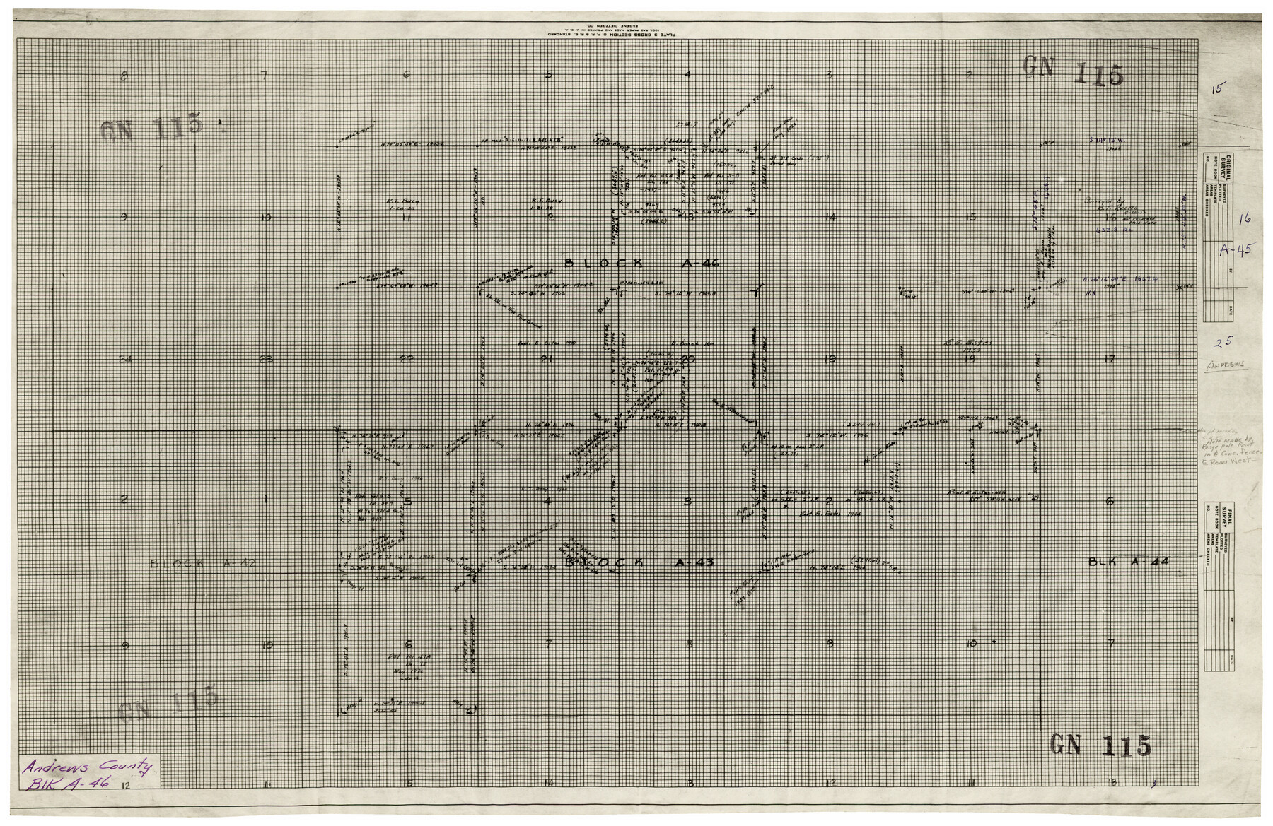
Andrews County Block A-46
GN115
-
Map/Doc
92638
-
Collection
Twichell Survey Records
-
Counties
Andrews
-
Height x Width
23.4 x 15.3 inches
59.4 x 38.9 cm
Part of: Twichell Survey Records
Portion of Culberson County, Texas

Print $20.00
- Digital $50.00
Portion of Culberson County, Texas
1948
Size 30.9 x 33.0 inches
Map/Doc 92556
R. H. Fulton Lands

Print $20.00
- Digital $50.00
R. H. Fulton Lands
Size 39.9 x 14.3 inches
Map/Doc 92509
[Strickland Survey Sketch Showing Abercrombie Corner, Exhibit C]
![91370, [Strickland Survey Sketch Showing Abercrombie Corner, Exhibit C], Twichell Survey Records](https://historictexasmaps.com/wmedia_w700/maps/91370-1.tif.jpg)
Print $20.00
- Digital $50.00
[Strickland Survey Sketch Showing Abercrombie Corner, Exhibit C]
Size 25.3 x 19.1 inches
Map/Doc 91370
Revised Map of Pendleton-Baxter-Addition to Shamrock Located on N.E. 1/4 Section 37, Block 17 H. & G.N.RR.Co., Wheeler County, Texas

Print $20.00
- Digital $50.00
Revised Map of Pendleton-Baxter-Addition to Shamrock Located on N.E. 1/4 Section 37, Block 17 H. & G.N.RR.Co., Wheeler County, Texas
Size 16.7 x 18.8 inches
Map/Doc 92123
[Township 5-S, Blocks 36, 37 & 38]
![92292, [Township 5-S, Blocks 36, 37 & 38], Twichell Survey Records](https://historictexasmaps.com/wmedia_w700/maps/92292-1.tif.jpg)
Print $20.00
- Digital $50.00
[Township 5-S, Blocks 36, 37 & 38]
1952
Size 27.7 x 26.6 inches
Map/Doc 92292
[Sketch showing Block H, Section 11 of Roberts County, including the south bank of the Canadian River]
![91761, [Sketch showing Block H, Section 11 of Roberts County, including the south bank of the Canadian River], Twichell Survey Records](https://historictexasmaps.com/wmedia_w700/maps/91761-1.tif.jpg)
Print $2.00
- Digital $50.00
[Sketch showing Block H, Section 11 of Roberts County, including the south bank of the Canadian River]
1919
Size 14.4 x 8.8 inches
Map/Doc 91761
[Block B9 and 3KA]
![90483, [Block B9 and 3KA], Twichell Survey Records](https://historictexasmaps.com/wmedia_w700/maps/90483-1.tif.jpg)
Print $20.00
- Digital $50.00
[Block B9 and 3KA]
Size 23.6 x 16.3 inches
Map/Doc 90483
[Blocks K5-K7]
![90538, [Blocks K5-K7], Twichell Survey Records](https://historictexasmaps.com/wmedia_w700/maps/90538-1.tif.jpg)
Print $3.00
- Digital $50.00
[Blocks K5-K7]
1902
Size 12.5 x 11.5 inches
Map/Doc 90538
Re-Subdivision of a Part of E. Dick Slaughter Lands Cochran County, Texas

Print $20.00
- Digital $50.00
Re-Subdivision of a Part of E. Dick Slaughter Lands Cochran County, Texas
Size 31.0 x 21.9 inches
Map/Doc 92482

Working Sketch in Randall and Swisher Cos.

Print $2.00
- Digital $50.00
Working Sketch in Randall and Swisher Cos.
Size 5.8 x 4.1 inches
Map/Doc 93047
[Blocks 2, 3, 4, 7, and B2]
![90754, [Blocks 2, 3, 4, 7, and B2], Twichell Survey Records](https://historictexasmaps.com/wmedia_w700/maps/90754-1.tif.jpg)
Print $20.00
- Digital $50.00
[Blocks 2, 3, 4, 7, and B2]
1882
Size 20.0 x 25.6 inches
Map/Doc 90754
You may also like
Lamar County Working Sketch 10

Print $20.00
- Digital $50.00
Lamar County Working Sketch 10
1980
Size 18.6 x 15.4 inches
Map/Doc 70271
Coke County Rolled Sketch 7

Print $20.00
- Digital $50.00
Coke County Rolled Sketch 7
Size 19.0 x 24.1 inches
Map/Doc 5506
Flight Mission No. DQO-7K, Frame 78, Galveston County

Print $20.00
- Digital $50.00
Flight Mission No. DQO-7K, Frame 78, Galveston County
1952
Size 18.8 x 22.4 inches
Map/Doc 85105
Hutchinson County Working Sketch 6

Print $20.00
- Digital $50.00
Hutchinson County Working Sketch 6
1914
Size 20.2 x 29.0 inches
Map/Doc 66364
Runnels County Rolled Sketch 28

Print $20.00
- Digital $50.00
Runnels County Rolled Sketch 28
1928
Size 19.8 x 39.4 inches
Map/Doc 7516
Hutchinson County Rolled Sketch 44-1

Print $20.00
- Digital $50.00
Hutchinson County Rolled Sketch 44-1
2002
Size 24.0 x 36.0 inches
Map/Doc 77537
Van Zandt County Working Sketch 9

Print $20.00
- Digital $50.00
Van Zandt County Working Sketch 9
1982
Size 12.6 x 11.7 inches
Map/Doc 72259
Webb County Working Sketch 4

Print $20.00
- Digital $50.00
Webb County Working Sketch 4
1907
Size 45.6 x 42.5 inches
Map/Doc 72369

Kimble County Rolled Sketch 32

Print $20.00
- Digital $50.00
Kimble County Rolled Sketch 32
1973
Size 23.1 x 19.6 inches
Map/Doc 6522
Map of The Surveyed Part of Peters Colony Texas

Print $40.00
- Digital $50.00
Map of The Surveyed Part of Peters Colony Texas
1854
Size 53.1 x 33.9 inches
Map/Doc 83008
Ward County Sketch File L

Print $20.00
- Digital $50.00
Ward County Sketch File L
Size 23.8 x 29.6 inches
Map/Doc 12601