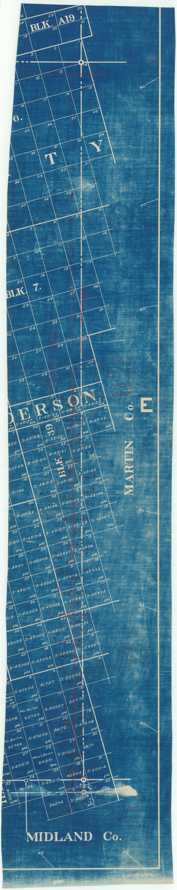
Andrews County Boundary File 4
-
Map/Doc
49721
-
Collection
General Map Collection
-
Counties
Andrews
-
Subjects
County Boundaries
-
Height x Width
35.4 x 7.1 inches
89.9 x 18.0 cm
Part of: General Map Collection
Palo Pinto County Working Sketch 24

Print $20.00
- Digital $50.00
Palo Pinto County Working Sketch 24
1990
Map/Doc 71407
[Galveston, Harrisburg & San Antonio through El Paso County]
![64007, [Galveston, Harrisburg & San Antonio through El Paso County], General Map Collection](https://historictexasmaps.com/wmedia_w700/maps/64007.tif.jpg)
Print $20.00
- Digital $50.00
[Galveston, Harrisburg & San Antonio through El Paso County]
1906
Size 13.4 x 33.9 inches
Map/Doc 64007
Real County Working Sketch 37

Print $20.00
- Digital $50.00
Real County Working Sketch 37
1951
Size 44.0 x 37.8 inches
Map/Doc 71929
Gaines County Working Sketch 37

Print $20.00
- Digital $50.00
Gaines County Working Sketch 37
Size 21.5 x 16.6 inches
Map/Doc 69337
Angelina County

Print $40.00
- Digital $50.00
Angelina County
1945
Size 40.2 x 49.7 inches
Map/Doc 95417
Coleman County Sketch File 43

Print $12.00
- Digital $50.00
Coleman County Sketch File 43
1892
Size 9.2 x 8.8 inches
Map/Doc 18775
Flight Mission No. BRE-1P, Frame 52, Nueces County

Print $20.00
- Digital $50.00
Flight Mission No. BRE-1P, Frame 52, Nueces County
1956
Size 18.4 x 22.0 inches
Map/Doc 86641
Township No. 1 South Range No. 24 West of the Indian Meridian

Print $20.00
- Digital $50.00
Township No. 1 South Range No. 24 West of the Indian Meridian
1875
Size 19.2 x 24.4 inches
Map/Doc 75173
Reeves County Sketch File 2

Print $26.00
- Digital $50.00
Reeves County Sketch File 2
Size 31.2 x 19.6 inches
Map/Doc 12239
El Paso County Sketch File 35 (2)

Print $18.00
- Digital $50.00
El Paso County Sketch File 35 (2)
1886
Size 12.9 x 8.3 inches
Map/Doc 22170
Chambers County Rolled Sketch CL

Print $40.00
- Digital $50.00
Chambers County Rolled Sketch CL
1909
Size 56.2 x 21.0 inches
Map/Doc 8610
Palo Pinto County Sketch File A

Print $6.00
- Digital $50.00
Palo Pinto County Sketch File A
Size 8.7 x 4.1 inches
Map/Doc 33389
You may also like
Map of Bastrop County

Print $20.00
- Digital $50.00
Map of Bastrop County
1861
Size 26.3 x 29.0 inches
Map/Doc 3280
Pecos County Working Sketch Graphic Index - northeast part - sheet B

Print $20.00
- Digital $50.00
Pecos County Working Sketch Graphic Index - northeast part - sheet B
1975
Size 36.0 x 42.2 inches
Map/Doc 76667
Ownership Map SE 1/4 Lubbock County

Print $20.00
- Digital $50.00
Ownership Map SE 1/4 Lubbock County
Size 37.2 x 36.4 inches
Map/Doc 89895
Nueces County NRC Article 33.136 Sketch 20

Print $36.00
- Digital $50.00
Nueces County NRC Article 33.136 Sketch 20
2021
Map/Doc 96887
Jefferson County Working Sketch 41

Print $20.00
- Digital $50.00
Jefferson County Working Sketch 41
1985
Size 26.4 x 20.8 inches
Map/Doc 66585

Flight Mission No. DQO-12K, Frame 36, Galveston County

Print $20.00
- Digital $50.00
Flight Mission No. DQO-12K, Frame 36, Galveston County
1952
Size 18.8 x 22.6 inches
Map/Doc 85227
Flight Mission No. DQN-1K, Frame 105, Calhoun County

Print $20.00
- Digital $50.00
Flight Mission No. DQN-1K, Frame 105, Calhoun County
1953
Size 18.4 x 22.2 inches
Map/Doc 84172
Map of the World: and chart exhibiting the size of each country, nation or kingdom, its population as a whole and to a square mile also the different states of society, forms of government, religion &c.

Print $20.00
- Digital $50.00
Map of the World: and chart exhibiting the size of each country, nation or kingdom, its population as a whole and to a square mile also the different states of society, forms of government, religion &c.
1850
Size 12.2 x 19.4 inches
Map/Doc 93882
[Ft. W. & R. G. Ry. Right of Way Map, Chapin to Bluffdale, Hood County, Texas]
![64646, [Ft. W. & R. G. Ry. Right of Way Map, Chapin to Bluffdale, Hood County, Texas], General Map Collection](https://historictexasmaps.com/wmedia_w700/maps/64646.tif.jpg)
Print $40.00
- Digital $50.00
[Ft. W. & R. G. Ry. Right of Way Map, Chapin to Bluffdale, Hood County, Texas]
1918
Size 36.8 x 69.7 inches
Map/Doc 64646
Map and Description of Texas, containing sketches of its history, geology, geography and statistics: with concise statements, relative to the soil, climate, productions, facilities of transportation, population of the country;

Print $324.00
- Digital $50.00
Map and Description of Texas, containing sketches of its history, geology, geography and statistics: with concise statements, relative to the soil, climate, productions, facilities of transportation, population of the country;
1840
Size 6.1 x 4.1 inches
Map/Doc 93861
Real County Rolled Sketch 18

Print $20.00
- Digital $50.00
Real County Rolled Sketch 18
Size 18.5 x 24.3 inches
Map/Doc 7462