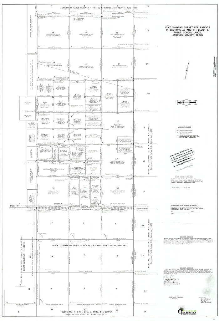
Andrews County Rolled Sketch 46
2013
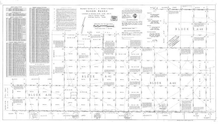
Andrews County Rolled Sketch 44
1990

Andrews County Working Sketch 34
1990

Andrews County Working Sketch 33
1990

Andrews County Working Sketch 32
1990

Andrews County Working Sketch 31
1990
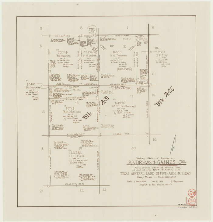
Gaines County Working Sketch 34
1990
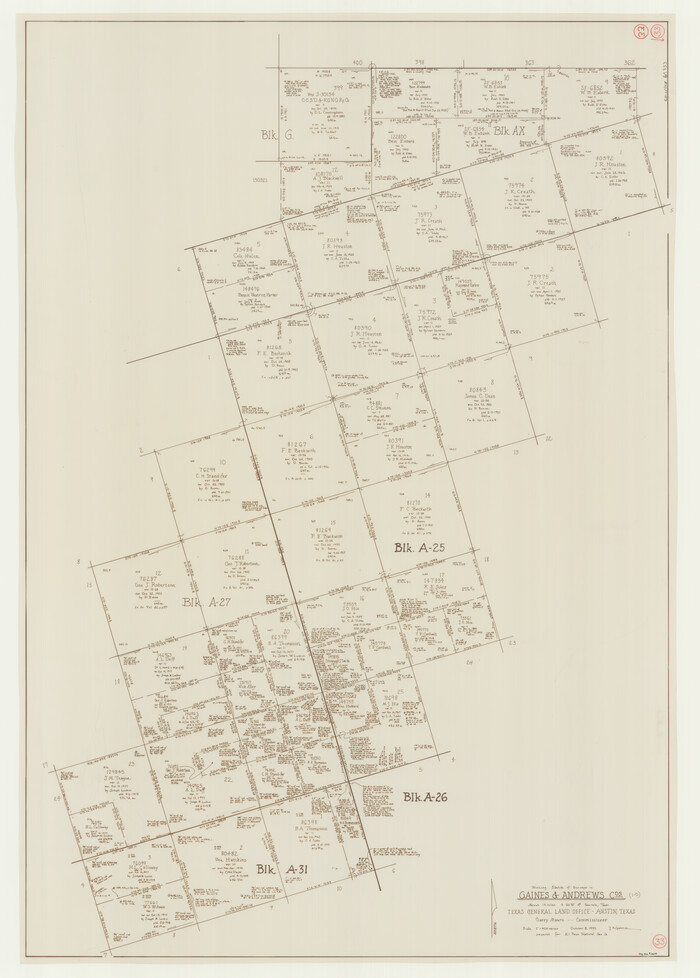
Gaines County Working Sketch 33
1990

Andrews County Working Sketch 30
1989
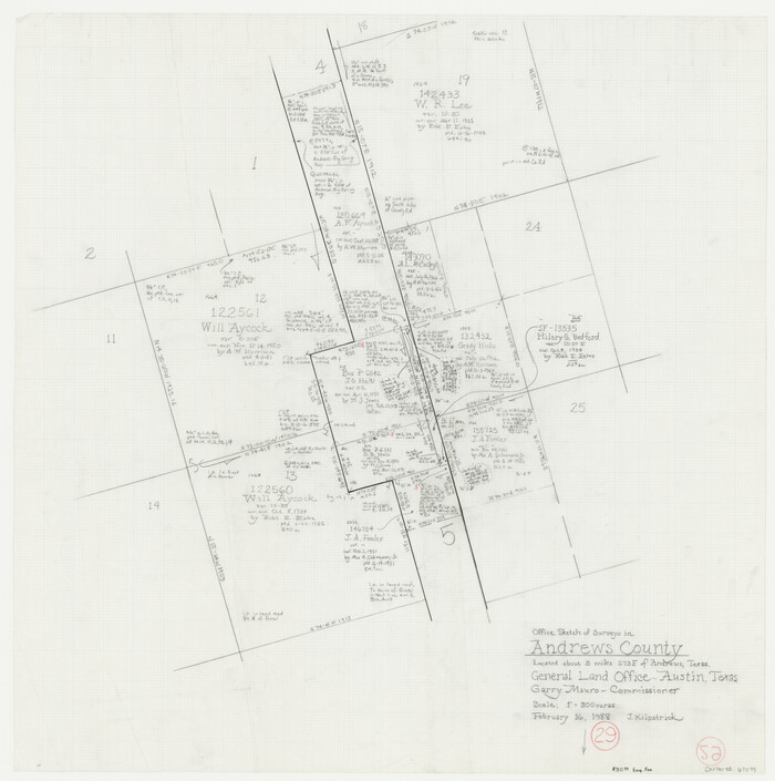
Andrews County Working Sketch 29
1988

Andrews County Working Sketch 27
1984
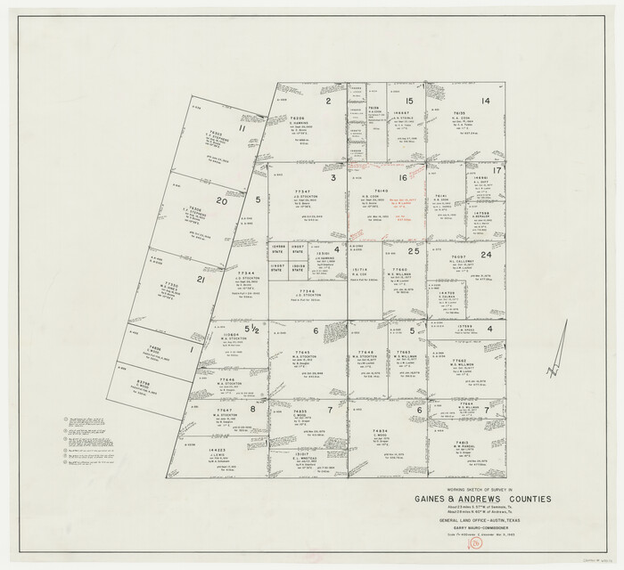
Andrews County Working Sketch 26
1983

Gaines County Working Sketch 26
1983

Andrews County Working Sketch 25
1980
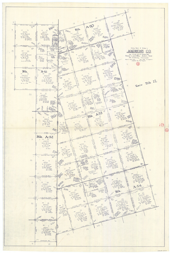
Andrews County Working Sketch 24
1980

Andrews County Sketch File 13
1979
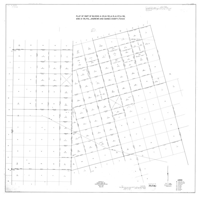
Andrews County Rolled Sketch 39
1979

Andrews County Working Sketch 23
1979
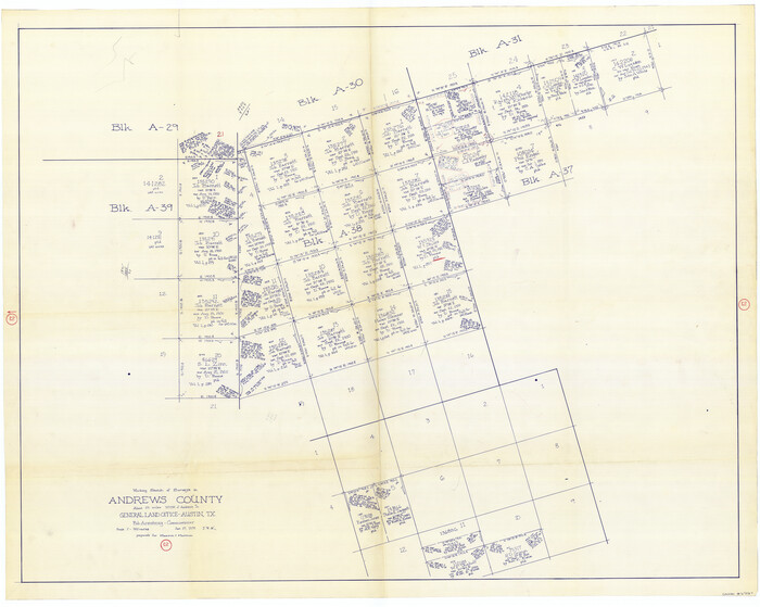
Andrews County Working Sketch 21
1979

Andrews County Working Sketch 22
1979
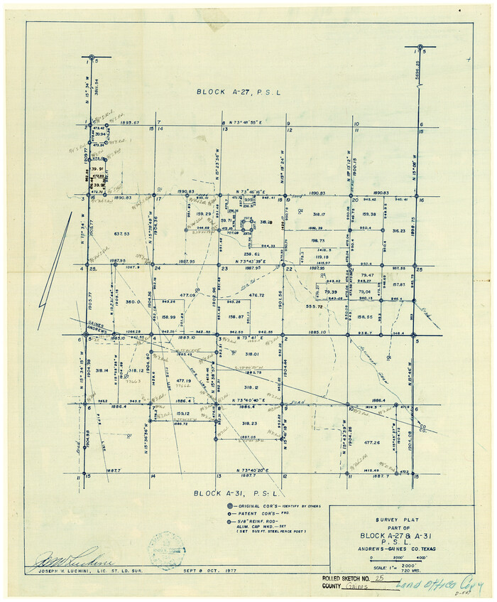
Gaines County Rolled Sketch 25
1977
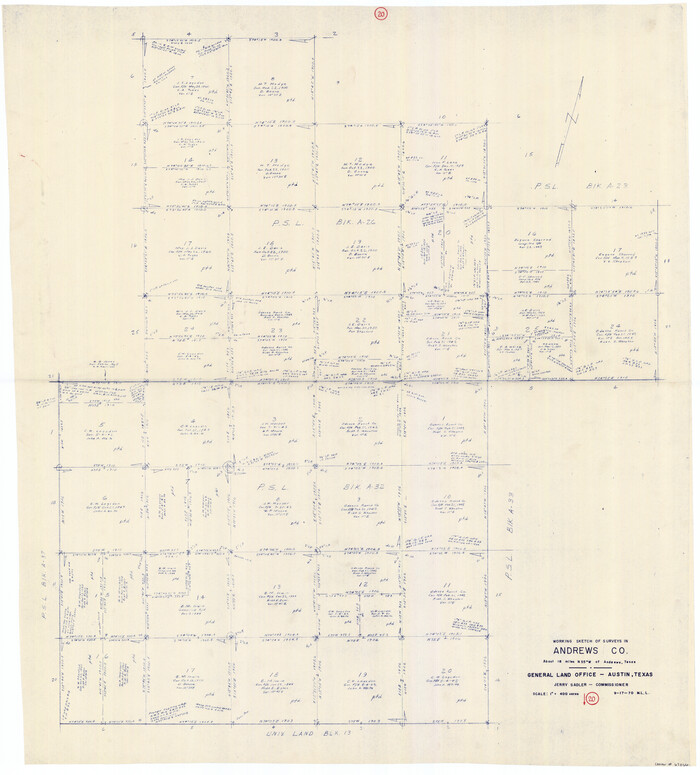
Andrews County Working Sketch 20
1970
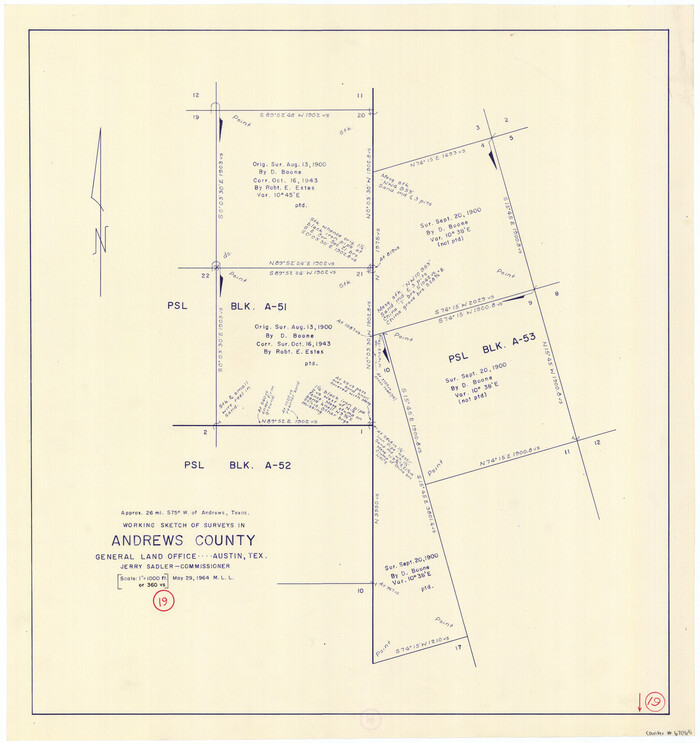
Andrews County Working Sketch 19
1964
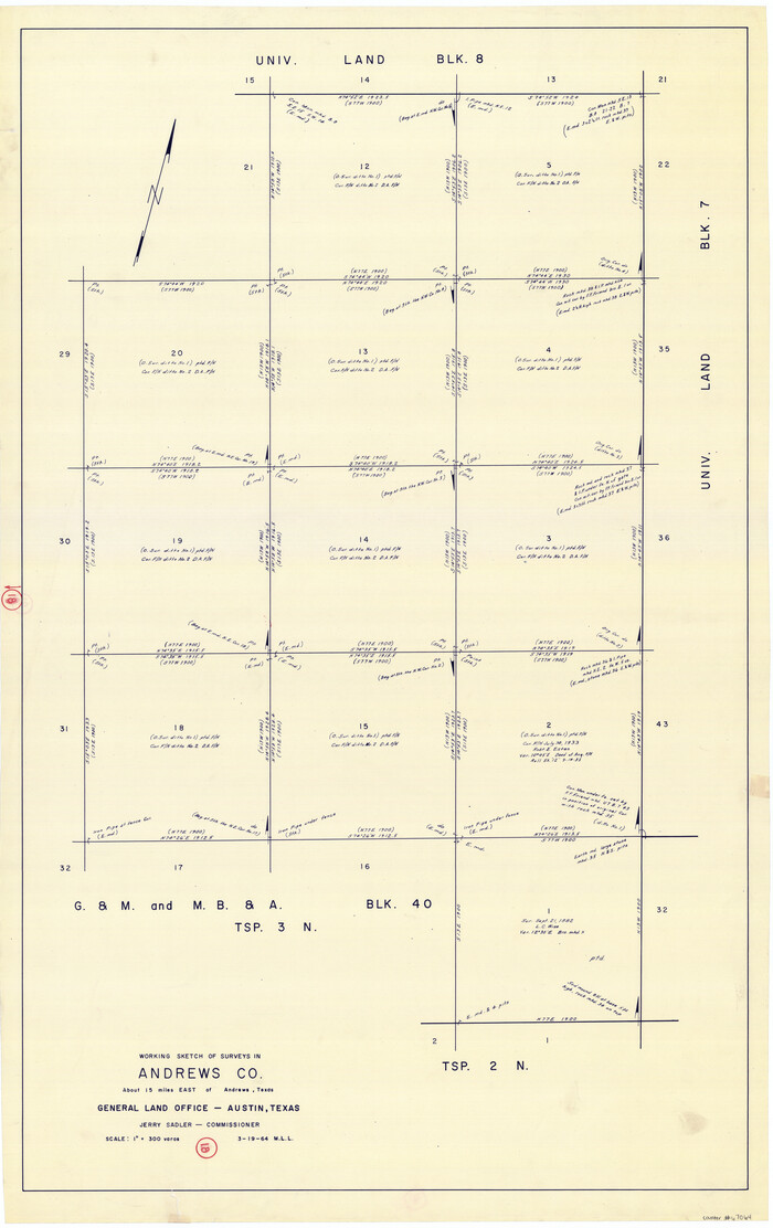
Andrews County Working Sketch 18
1964
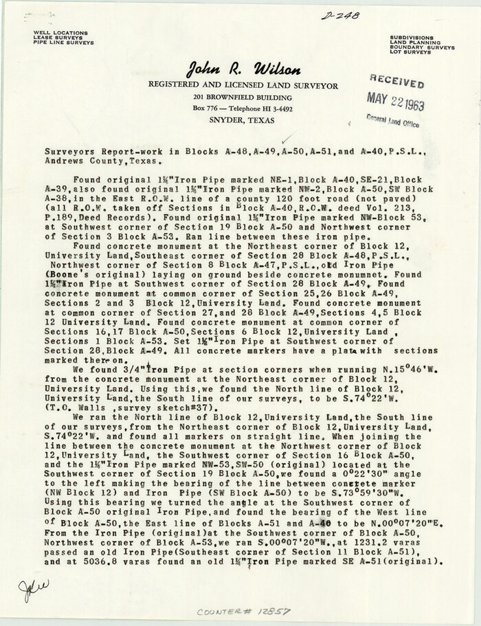
Andrews County Sketch File 12
1963
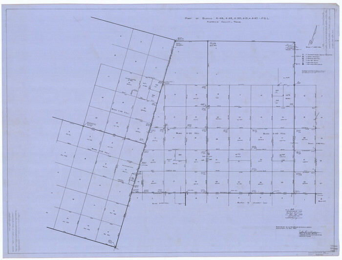
Andrews County Rolled Sketch 38
1963

Gaines County Rolled Sketch 23
1963
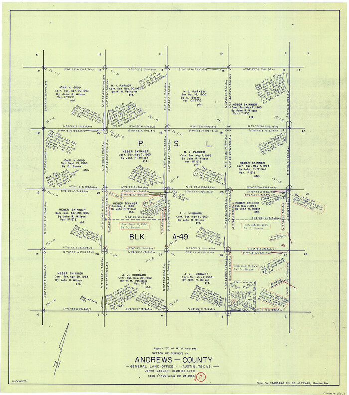
Andrews County Working Sketch 17
1963

General Highway Map, Andrews County, Texas
1961

General Highway Map, Andrews County, Texas
1961

Andrews County Rolled Sketch 46
2013
-
Size
52.0 x 36.0 inches
-
Map/Doc
93641
-
Creation Date
2013

Andrews County Rolled Sketch 44
1990
-
Size
37.0 x 64.8 inches
-
Map/Doc
94990
-
Creation Date
1990

Andrews County Working Sketch 34
1990
-
Size
29.9 x 31.0 inches
-
Map/Doc
67080
-
Creation Date
1990

Andrews County Working Sketch 33
1990
-
Size
32.9 x 29.7 inches
-
Map/Doc
67079
-
Creation Date
1990

Andrews County Working Sketch 32
1990
-
Size
29.6 x 31.5 inches
-
Map/Doc
67078
-
Creation Date
1990

Andrews County Working Sketch 31
1990
-
Size
42.9 x 30.0 inches
-
Map/Doc
67077
-
Creation Date
1990

Gaines County Working Sketch 34
1990
-
Size
21.0 x 20.2 inches
-
Map/Doc
69334
-
Creation Date
1990

Gaines County Working Sketch 33
1990
-
Size
50.3 x 36.0 inches
-
Map/Doc
69333
-
Creation Date
1990

Andrews County Working Sketch 30
1989
-
Size
34.2 x 48.0 inches
-
Map/Doc
67076
-
Creation Date
1989

Andrews County Working Sketch 29
1988
-
Size
25.9 x 25.8 inches
-
Map/Doc
67075
-
Creation Date
1988

Andrews County Working Sketch 27
1984
-
Size
19.1 x 16.2 inches
-
Map/Doc
67073
-
Creation Date
1984

Andrews County Working Sketch 26
1983
-
Size
34.3 x 37.5 inches
-
Map/Doc
67072
-
Creation Date
1983

Gaines County Working Sketch 26
1983
-
Size
34.1 x 39.7 inches
-
Map/Doc
69326
-
Creation Date
1983

Andrews County Working Sketch 25
1980
-
Size
70.6 x 44.0 inches
-
Map/Doc
67071
-
Creation Date
1980

Andrews County Working Sketch 24
1980
-
Size
55.5 x 37.4 inches
-
Map/Doc
67070
-
Creation Date
1980

Andrews County Sketch File 13
1979
-
Size
14.2 x 8.7 inches
-
Map/Doc
12863
-
Creation Date
1979

Andrews County Rolled Sketch 39
1979
-
Size
43.4 x 44.3 inches
-
Map/Doc
8401
-
Creation Date
1979

Andrews County Working Sketch 23
1979
-
Size
26.6 x 27.7 inches
-
Map/Doc
67069
-
Creation Date
1979

Andrews County Working Sketch 21
1979
-
Size
38.7 x 48.4 inches
-
Map/Doc
67067
-
Creation Date
1979

Andrews County Working Sketch 22
1979
-
Size
38.3 x 48.8 inches
-
Map/Doc
67068
-
Creation Date
1979

Gaines County Rolled Sketch 25
1977
-
Size
23.6 x 19.4 inches
-
Map/Doc
5939
-
Creation Date
1977

Andrews County Working Sketch 20
1970
-
Size
43.3 x 39.1 inches
-
Map/Doc
67066
-
Creation Date
1970

Andrews County Working Sketch 19
1964
-
Size
24.9 x 23.5 inches
-
Map/Doc
67065
-
Creation Date
1964

Andrews County Working Sketch 18
1964
-
Size
42.2 x 26.5 inches
-
Map/Doc
67064
-
Creation Date
1964

Andrews County Sketch File 12
1963
-
Size
11.1 x 8.5 inches
-
Map/Doc
12857
-
Creation Date
1963

Andrews County Rolled Sketch 38
1963
-
Size
38.3 x 50.3 inches
-
Map/Doc
8400
-
Creation Date
1963

Gaines County Rolled Sketch 23
1963
-
Size
24.6 x 37.1 inches
-
Map/Doc
5938
-
Creation Date
1963

Andrews County Working Sketch 17
1963
-
Size
30.7 x 27.1 inches
-
Map/Doc
67063
-
Creation Date
1963

General Highway Map, Andrews County, Texas
1961
-
Size
25.1 x 18.3 inches
-
Map/Doc
79347
-
Creation Date
1961

General Highway Map, Andrews County, Texas
1961
-
Size
25.2 x 18.2 inches
-
Map/Doc
79348
-
Creation Date
1961