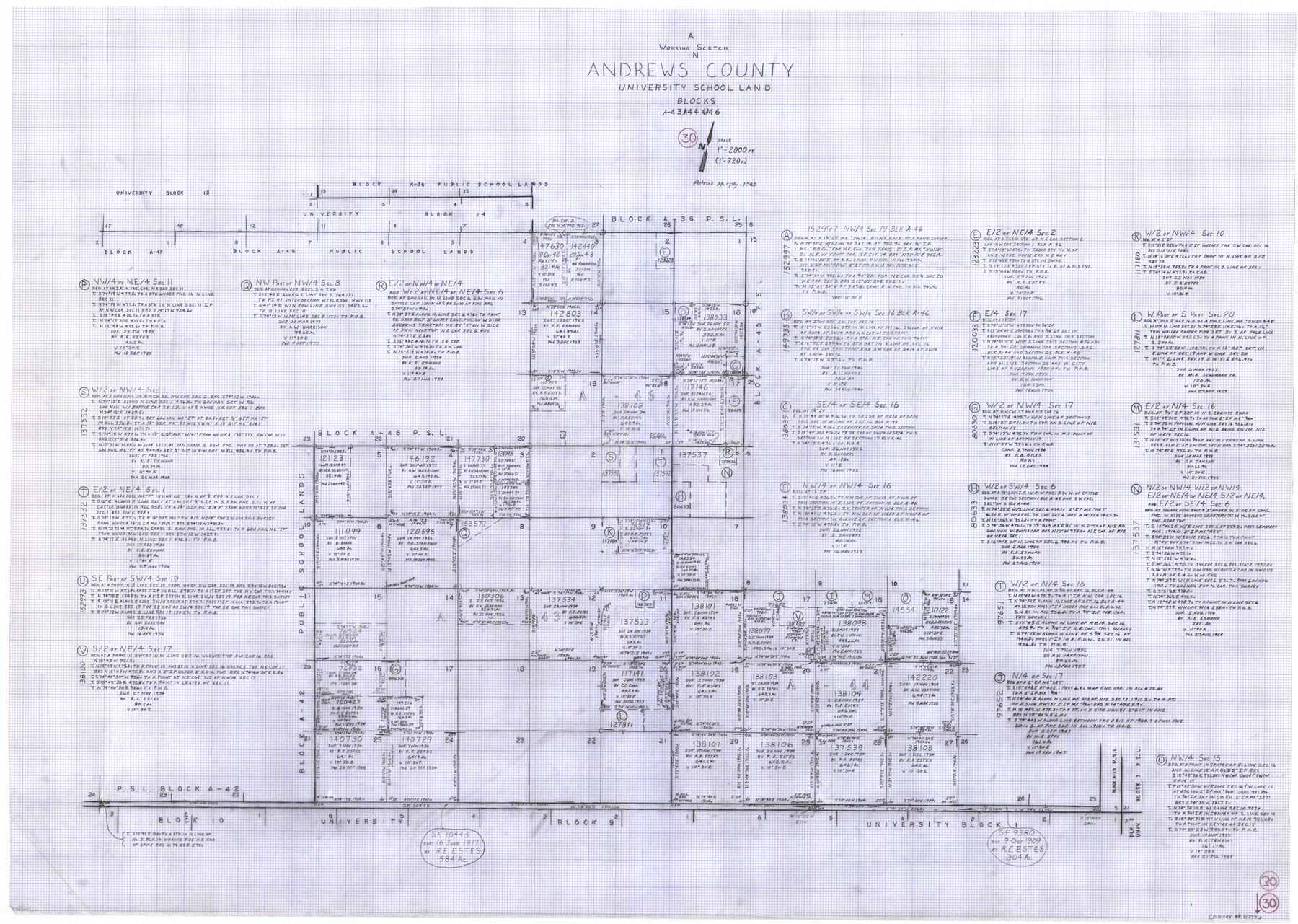
Andrews County Working Sketch 30
-
Map/Doc
67076
-
Collection
General Map Collection
-
Object Dates
1989 (Creation Date)
-
People and Organizations
Patrick K. Murphy (Draftsman)
-
Counties
Andrews
-
Subjects
Surveying Working Sketch
-
Height x Width
34.2 x 48.0 inches
86.9 x 121.9 cm
-
Scale
1" = 720 varas
-
Comments
Surveys located from the Northwest to the South immediately around Andrews, Texas.
Part of: General Map Collection
DeWitt County Sketch File 4

Print $4.00
- Digital $50.00
DeWitt County Sketch File 4
1872
Size 8.3 x 13.1 inches
Map/Doc 20801
Aransas County Rolled Sketch 28

Print $20.00
- Digital $50.00
Aransas County Rolled Sketch 28
1987
Size 24.5 x 30.9 inches
Map/Doc 77496
Flight Mission No. BRE-2P, Frame 44, Nueces County

Print $20.00
- Digital $50.00
Flight Mission No. BRE-2P, Frame 44, Nueces County
1956
Size 18.7 x 22.9 inches
Map/Doc 86746
Hill County Sketch File 8a

Print $4.00
- Digital $50.00
Hill County Sketch File 8a
1858
Size 10.2 x 8.1 inches
Map/Doc 26474
Hamilton County Working Sketch 2

Print $20.00
- Digital $50.00
Hamilton County Working Sketch 2
1923
Size 12.9 x 15.7 inches
Map/Doc 63340
Terry County Sketch File 8

Print $20.00
- Digital $50.00
Terry County Sketch File 8
1932
Size 23.2 x 42.5 inches
Map/Doc 10393
San Saba County

Print $20.00
- Digital $50.00
San Saba County
1877
Size 20.2 x 22.0 inches
Map/Doc 4020
University and College Lands

Print $20.00
- Digital $50.00
University and College Lands
1841
Size 21.3 x 27.0 inches
Map/Doc 169
Montague County Working Sketch 24

Print $20.00
- Digital $50.00
Montague County Working Sketch 24
1953
Size 21.9 x 27.6 inches
Map/Doc 71090

Madison County Working Sketch 11

Print $20.00
- Digital $50.00
Madison County Working Sketch 11
1964
Size 39.6 x 33.4 inches
Map/Doc 70773
Bailey County Sketch File 3

Print $22.00
- Digital $50.00
Bailey County Sketch File 3
1901
Size 8.9 x 6.8 inches
Map/Doc 13937
You may also like
Kerr County Working Sketch 32

Print $20.00
- Digital $50.00
Kerr County Working Sketch 32
1975
Size 33.8 x 25.3 inches
Map/Doc 70063
Andrews County Working Sketch 21

Print $40.00
- Digital $50.00
Andrews County Working Sketch 21
1979
Size 38.7 x 48.4 inches
Map/Doc 67067
![91466, [Block B7], Twichell Survey Records](https://historictexasmaps.com/wmedia_w700/maps/91466-1.tif.jpg)
Map of the Gainesville, Henrietta & Western Railway

Print $20.00
- Digital $50.00
Map of the Gainesville, Henrietta & Western Railway
1887
Size 9.6 x 41.7 inches
Map/Doc 64482
Henderson County Boundary File 43

Print $28.00
- Digital $50.00
Henderson County Boundary File 43
Size 5.0 x 8.3 inches
Map/Doc 54708
Tarrant County Boundary File 3

Print $30.00
- Digital $50.00
Tarrant County Boundary File 3
Size 11.4 x 8.8 inches
Map/Doc 59136
General Highway Map, Houston County, Texas

Print $20.00
General Highway Map, Houston County, Texas
1940
Size 18.3 x 24.8 inches
Map/Doc 79133
Map of Menard County Texas

Print $20.00
- Digital $50.00
Map of Menard County Texas
1894
Size 33.0 x 42.5 inches
Map/Doc 66927
Brown County Sketch File 12

Print $4.00
- Digital $50.00
Brown County Sketch File 12
1870
Size 12.4 x 8.0 inches
Map/Doc 16602
Flight Mission No. BRA-7M, Frame 5, Jefferson County

Print $20.00
- Digital $50.00
Flight Mission No. BRA-7M, Frame 5, Jefferson County
1953
Size 18.6 x 22.2 inches
Map/Doc 85456
Map of the City of Galveston, Texas

Print $20.00
- Digital $50.00
Map of the City of Galveston, Texas
1904
Size 32.0 x 44.0 inches
Map/Doc 73629
Denton County

Print $20.00
- Digital $50.00
Denton County
1947
Size 42.5 x 39.7 inches
Map/Doc 73130