Andrews County Sketch File 1


Print $6.00
- Digital $50.00
Andrews County Sketch File 1
Size: 9.0 x 13.6 inches
12818
Andrews County Sketch File 15


Print $24.00
- Digital $50.00
Andrews County Sketch File 15
Size: 11.2 x 8.9 inches
12887
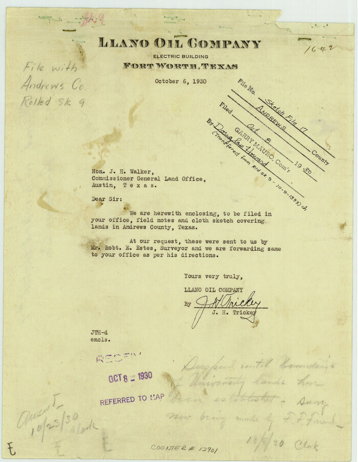
Andrews County Sketch File 17

Print $8.00
- Digital $50.00
Andrews County Sketch File 17
Size: 11.1 x 8.6 inches
12901
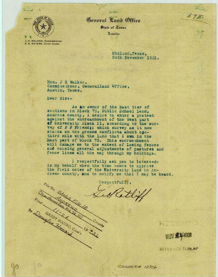
Andrews County Sketch File 18

Print $12.00
- Digital $50.00
Andrews County Sketch File 18
Size: 11.3 x 8.9 inches
12907
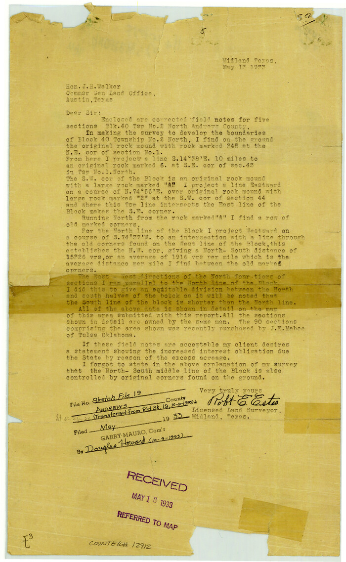
Andrews County Sketch File 19

Print $12.00
- Digital $50.00
Andrews County Sketch File 19
Size: 14.3 x 8.8 inches
12912
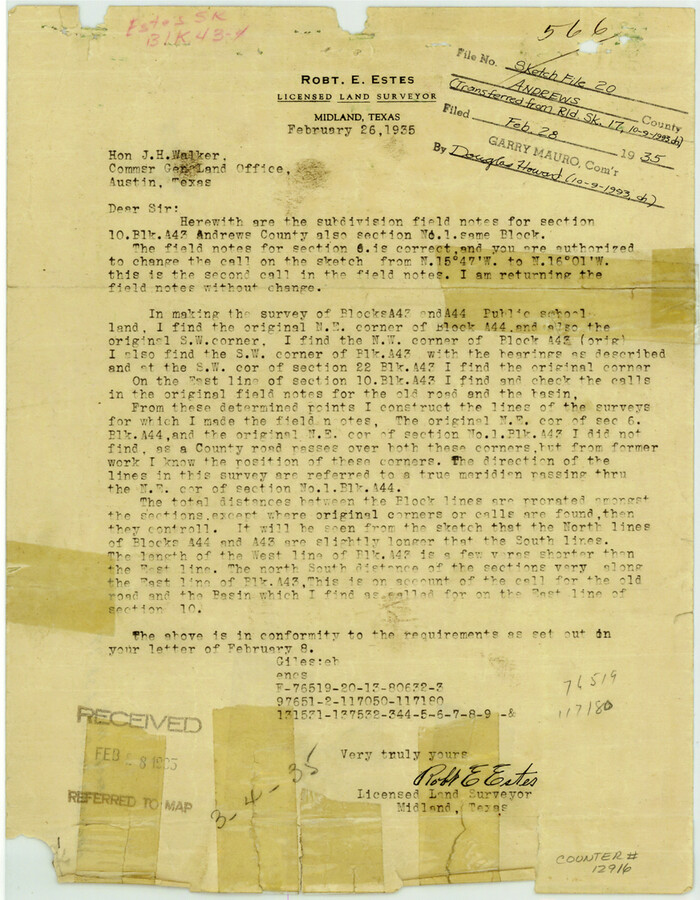
Andrews County Sketch File 20

Print $6.00
- Digital $50.00
Andrews County Sketch File 20
Size: 11.2 x 8.7 inches
12916
Martin County Sketch File 1


Print $66.00
- Digital $50.00
Martin County Sketch File 1
Size: 19.3 x 8.9 inches
30626
Martin County Sketch File 3
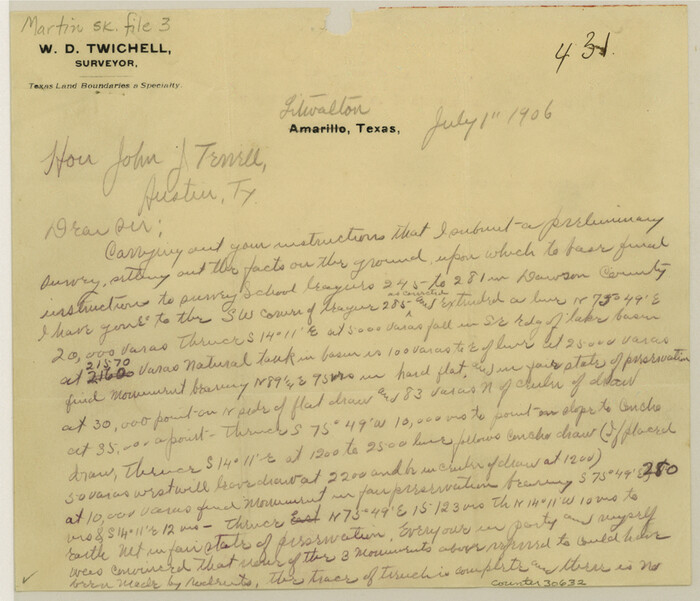

Print $19.00
- Digital $50.00
Martin County Sketch File 3
Size: 7.4 x 8.6 inches
30632
Andrews County Boundary File 1


Print $133.00
- Digital $50.00
Andrews County Boundary File 1
Size: 14.6 x 9.0 inches
49664
Andrews County Boundary File 2a
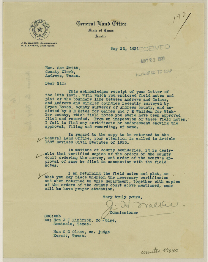

Print $14.00
- Digital $50.00
Andrews County Boundary File 2a
Size: 11.2 x 8.9 inches
49690
Andrews County Boundary File 2b


Print $217.00
- Digital $50.00
Andrews County Boundary File 2b
Size: 9.6 x 56.0 inches
49698
Andrews County Boundary File 2c


Print $70.00
- Digital $50.00
Andrews County Boundary File 2c
Size: 14.6 x 9.2 inches
49709
Andrews County Boundary File 3


Print $8.00
- Digital $50.00
Andrews County Boundary File 3
Size: 7.2 x 8.6 inches
49717
Andrews County Boundary File 4


Print $40.00
- Digital $50.00
Andrews County Boundary File 4
Size: 35.4 x 7.1 inches
49721
Andrews County Boundary File 5
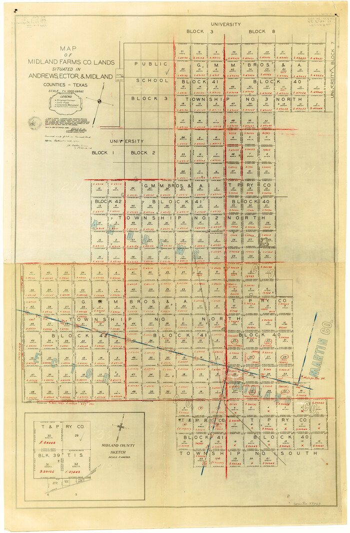

Print $40.00
- Digital $50.00
Andrews County Boundary File 5
Size: 29.8 x 19.6 inches
49723
University Lands Blocks 1 to 11 Andrews-Martin-Gaines-Dawson-Winkler Counties


Print $6.00
- Digital $50.00
University Lands Blocks 1 to 11 Andrews-Martin-Gaines-Dawson-Winkler Counties
Size: 30.9 x 35.3 inches
62930
University Land, Winkler-Andrews-Gaines-Dawson-Martin Counties


Print $40.00
- Digital $50.00
University Land, Winkler-Andrews-Gaines-Dawson-Martin Counties
Size: 42.8 x 53.2 inches
62931
University of Texas Land Survey Isogonic Chart and Graph of Meridian Changes on University Lands Principally in Andrews County, Texas
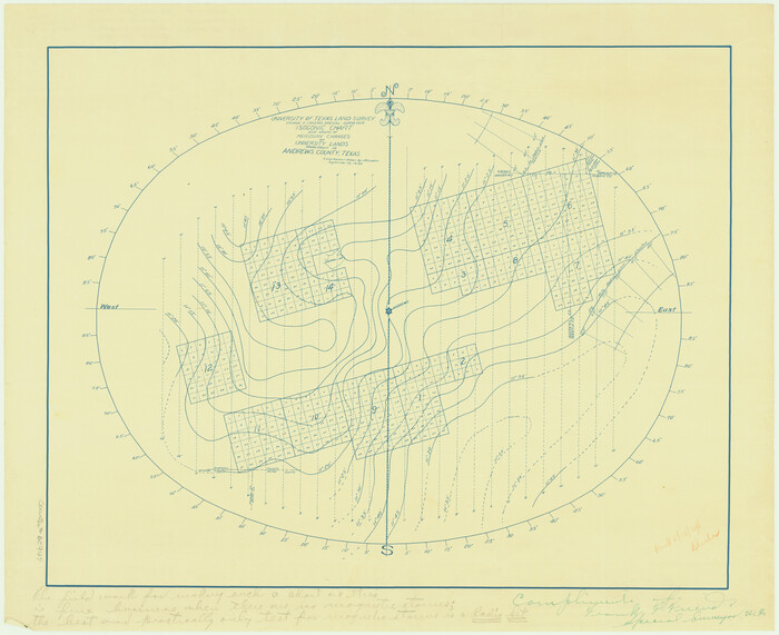

Print $20.00
- Digital $50.00
University of Texas Land Survey Isogonic Chart and Graph of Meridian Changes on University Lands Principally in Andrews County, Texas
Size: 15.0 x 18.4 inches
62947
Map of the Texas & Pacific Railway from Fort Worth to El Paso


Print $40.00
- Digital $50.00
Map of the Texas & Pacific Railway from Fort Worth to El Paso
Size: 24.0 x 76.5 inches
64511
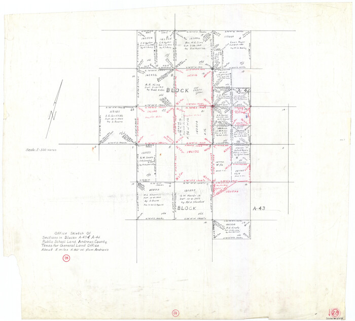
Andrews County Working Sketch 28

Print $20.00
- Digital $50.00
Andrews County Working Sketch 28
Size: 32.2 x 35.6 inches
67074
Map of lands owned by R.E. Montgomery in Martin and Andrews County, Texas


Print $20.00
- Digital $50.00
Map of lands owned by R.E. Montgomery in Martin and Andrews County, Texas
Size: 20.0 x 24.5 inches
75764
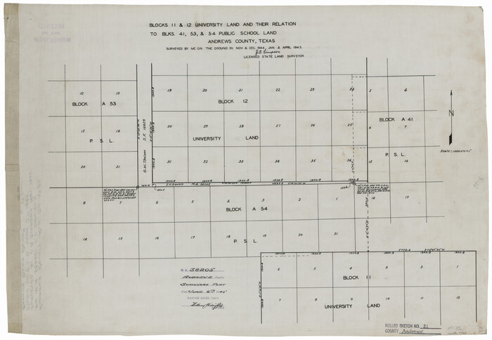
Andrews County Rolled Sketch 21

Print $20.00
- Digital $50.00
Andrews County Rolled Sketch 21
Size: 18.2 x 26.3 inches
77169
Andrews County Rolled Sketch 30


Print $20.00
- Digital $50.00
Andrews County Rolled Sketch 30
Size: 20.6 x 18.1 inches
77174
Andrews County Rolled Sketch 31


Print $20.00
- Digital $50.00
Andrews County Rolled Sketch 31
Size: 18.3 x 19.9 inches
77175
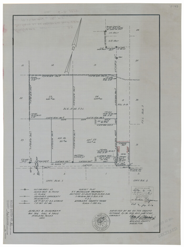
Andrews County Rolled Sketch 35

Print $20.00
- Digital $50.00
Andrews County Rolled Sketch 35
Size: 21.5 x 16.1 inches
77177
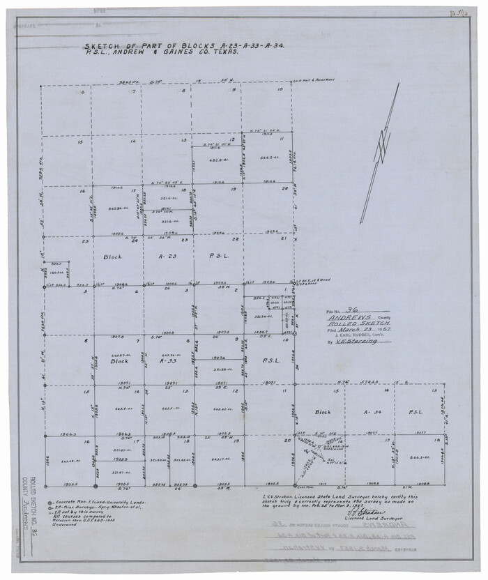
Andrews County Rolled Sketch 36

Print $20.00
- Digital $50.00
Andrews County Rolled Sketch 36
Size: 22.1 x 18.6 inches
77178
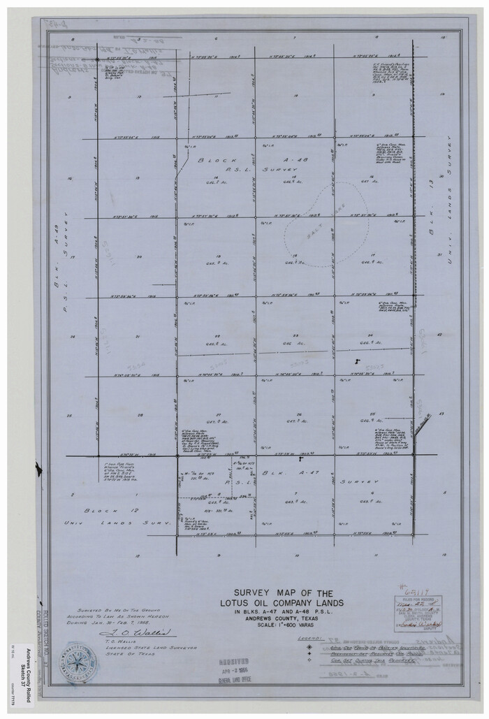
Andrews County Rolled Sketch 37

Print $20.00
- Digital $50.00
Andrews County Rolled Sketch 37
Size: 29.1 x 19.8 inches
77179
Andrews County Rolled Sketch 40


Print $20.00
- Digital $50.00
Andrews County Rolled Sketch 40
Size: 37.2 x 23.0 inches
77180
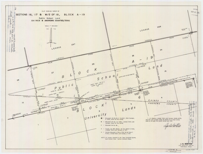
Andrews County Rolled Sketch 41

Print $20.00
- Digital $50.00
Andrews County Rolled Sketch 41
Size: 18.0 x 24.0 inches
77181
Andrews County Rolled Sketch 42


Print $20.00
- Digital $50.00
Andrews County Rolled Sketch 42
Size: 27.3 x 36.0 inches
77182
Andrews County Sketch File 1


Print $6.00
- Digital $50.00
Andrews County Sketch File 1
-
Size
9.0 x 13.6 inches
-
Map/Doc
12818
Andrews County Sketch File 15


Print $24.00
- Digital $50.00
Andrews County Sketch File 15
-
Size
11.2 x 8.9 inches
-
Map/Doc
12887
Andrews County Sketch File 17


Print $8.00
- Digital $50.00
Andrews County Sketch File 17
-
Size
11.1 x 8.6 inches
-
Map/Doc
12901
Andrews County Sketch File 18


Print $12.00
- Digital $50.00
Andrews County Sketch File 18
-
Size
11.3 x 8.9 inches
-
Map/Doc
12907
Andrews County Sketch File 19


Print $12.00
- Digital $50.00
Andrews County Sketch File 19
-
Size
14.3 x 8.8 inches
-
Map/Doc
12912
Andrews County Sketch File 20


Print $6.00
- Digital $50.00
Andrews County Sketch File 20
-
Size
11.2 x 8.7 inches
-
Map/Doc
12916
Martin County Sketch File 1


Print $66.00
- Digital $50.00
Martin County Sketch File 1
-
Size
19.3 x 8.9 inches
-
Map/Doc
30626
Martin County Sketch File 3


Print $19.00
- Digital $50.00
Martin County Sketch File 3
-
Size
7.4 x 8.6 inches
-
Map/Doc
30632
Andrews County Boundary File 1


Print $133.00
- Digital $50.00
Andrews County Boundary File 1
-
Size
14.6 x 9.0 inches
-
Map/Doc
49664
Andrews County Boundary File 2a


Print $14.00
- Digital $50.00
Andrews County Boundary File 2a
-
Size
11.2 x 8.9 inches
-
Map/Doc
49690
Andrews County Boundary File 2b


Print $217.00
- Digital $50.00
Andrews County Boundary File 2b
-
Size
9.6 x 56.0 inches
-
Map/Doc
49698
Andrews County Boundary File 2c


Print $70.00
- Digital $50.00
Andrews County Boundary File 2c
-
Size
14.6 x 9.2 inches
-
Map/Doc
49709
Andrews County Boundary File 3


Print $8.00
- Digital $50.00
Andrews County Boundary File 3
-
Size
7.2 x 8.6 inches
-
Map/Doc
49717
Andrews County Boundary File 4


Print $40.00
- Digital $50.00
Andrews County Boundary File 4
-
Size
35.4 x 7.1 inches
-
Map/Doc
49721
Andrews County Boundary File 5


Print $40.00
- Digital $50.00
Andrews County Boundary File 5
-
Size
29.8 x 19.6 inches
-
Map/Doc
49723
University Lands Blocks 1 to 11 Andrews-Martin-Gaines-Dawson-Winkler Counties


Print $6.00
- Digital $50.00
University Lands Blocks 1 to 11 Andrews-Martin-Gaines-Dawson-Winkler Counties
-
Size
30.9 x 35.3 inches
-
Map/Doc
62930
University Land, Winkler-Andrews-Gaines-Dawson-Martin Counties


Print $40.00
- Digital $50.00
University Land, Winkler-Andrews-Gaines-Dawson-Martin Counties
-
Size
42.8 x 53.2 inches
-
Map/Doc
62931
University of Texas Land Survey Isogonic Chart and Graph of Meridian Changes on University Lands Principally in Andrews County, Texas


Print $20.00
- Digital $50.00
University of Texas Land Survey Isogonic Chart and Graph of Meridian Changes on University Lands Principally in Andrews County, Texas
-
Size
15.0 x 18.4 inches
-
Map/Doc
62947
Map of the Texas & Pacific Railway from Fort Worth to El Paso


Print $40.00
- Digital $50.00
Map of the Texas & Pacific Railway from Fort Worth to El Paso
-
Size
24.0 x 76.5 inches
-
Map/Doc
64511
Andrews County Working Sketch 28


Print $20.00
- Digital $50.00
Andrews County Working Sketch 28
-
Size
32.2 x 35.6 inches
-
Map/Doc
67074
Map of lands owned by R.E. Montgomery in Martin and Andrews County, Texas


Print $20.00
- Digital $50.00
Map of lands owned by R.E. Montgomery in Martin and Andrews County, Texas
-
Size
20.0 x 24.5 inches
-
Map/Doc
75764
Andrews County Rolled Sketch 21


Print $20.00
- Digital $50.00
Andrews County Rolled Sketch 21
-
Size
18.2 x 26.3 inches
-
Map/Doc
77169
Andrews County Rolled Sketch 30


Print $20.00
- Digital $50.00
Andrews County Rolled Sketch 30
-
Size
20.6 x 18.1 inches
-
Map/Doc
77174
Andrews County Rolled Sketch 31


Print $20.00
- Digital $50.00
Andrews County Rolled Sketch 31
-
Size
18.3 x 19.9 inches
-
Map/Doc
77175
Andrews County Rolled Sketch 35


Print $20.00
- Digital $50.00
Andrews County Rolled Sketch 35
-
Size
21.5 x 16.1 inches
-
Map/Doc
77177
Andrews County Rolled Sketch 36


Print $20.00
- Digital $50.00
Andrews County Rolled Sketch 36
-
Size
22.1 x 18.6 inches
-
Map/Doc
77178
Andrews County Rolled Sketch 37


Print $20.00
- Digital $50.00
Andrews County Rolled Sketch 37
-
Size
29.1 x 19.8 inches
-
Map/Doc
77179
Andrews County Rolled Sketch 40


Print $20.00
- Digital $50.00
Andrews County Rolled Sketch 40
-
Size
37.2 x 23.0 inches
-
Map/Doc
77180
Andrews County Rolled Sketch 41


Print $20.00
- Digital $50.00
Andrews County Rolled Sketch 41
-
Size
18.0 x 24.0 inches
-
Map/Doc
77181
Andrews County Rolled Sketch 42


Print $20.00
- Digital $50.00
Andrews County Rolled Sketch 42
-
Size
27.3 x 36.0 inches
-
Map/Doc
77182